Filters: Tags: {"scheme":"ISO 19115 Topic Category","name":"transportation"} (X)
301 results (29ms)|
Filters
Date Range
Extensions
Types
Contacts
Categories Tag Types Tags (with Scheme=ISO 19115 Topic Category)
|
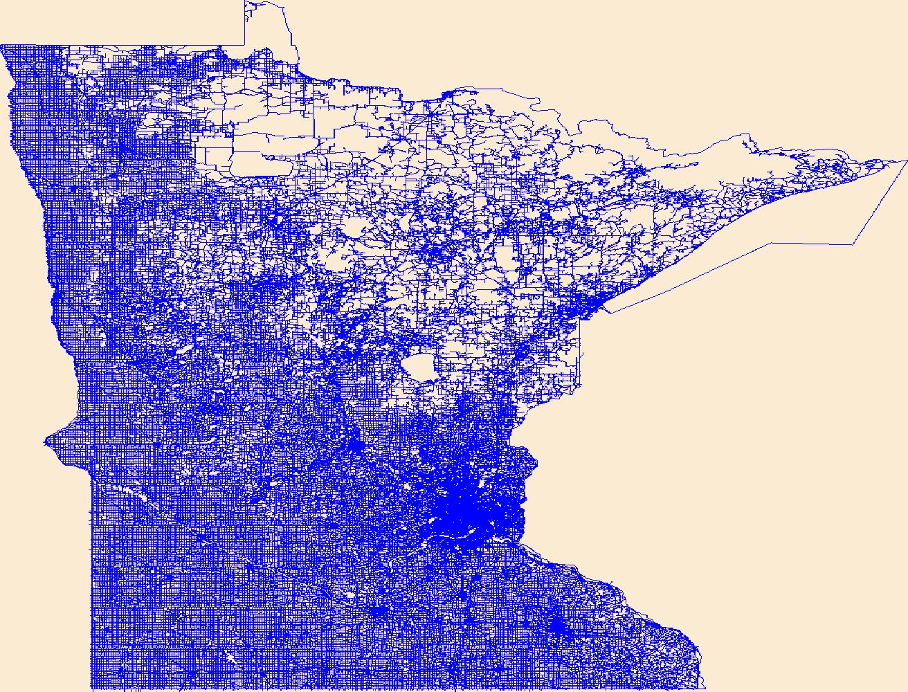
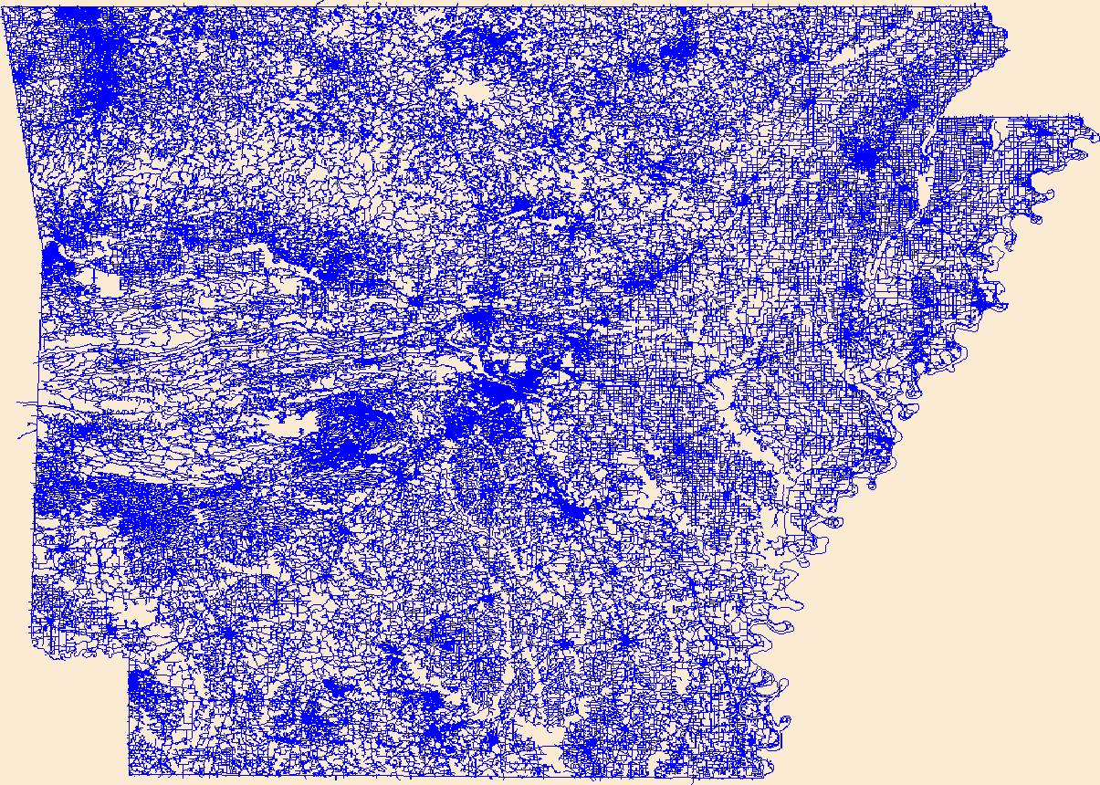
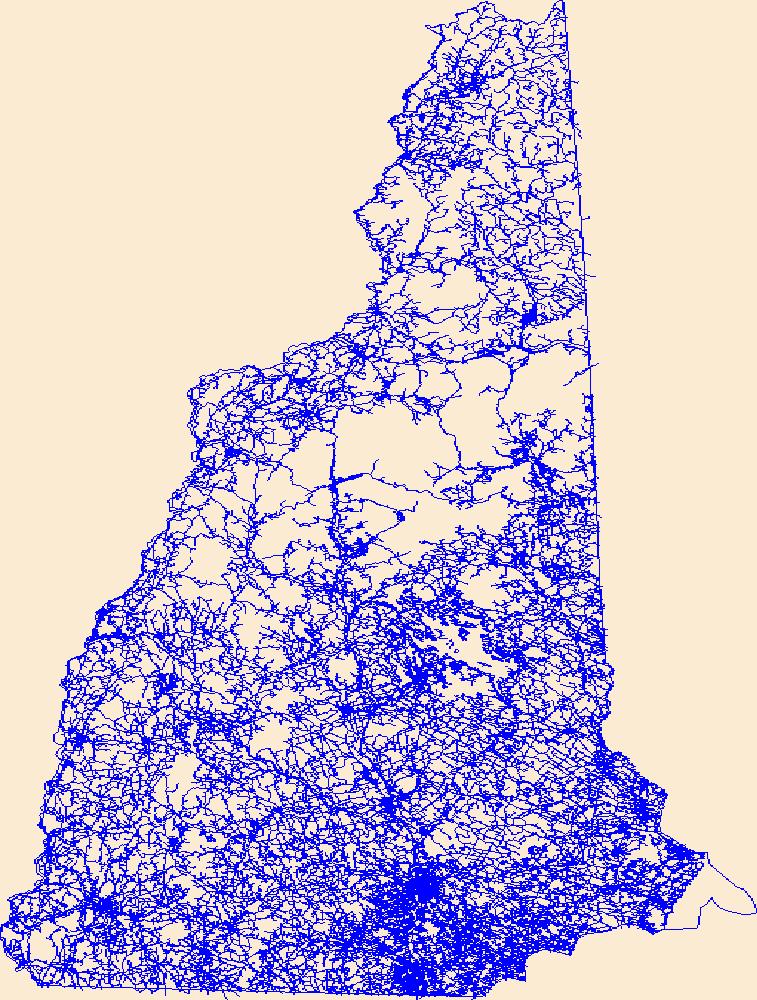
Density of all roads within a 5-km radius developed using a circular focal moving window analysis.
Categories: Data;
Types: Downloadable,
GeoTIFF,
Map Service,
Raster;
Tags: Colorado,
Idaho,
Montana,
United States,
Utah,
All roads in the western United States from the 2000 US Census Bureau 1:100,000 scale TIGER/line files.
Categories: Data;
Types: Downloadable,
Map Service,
OGC WFS Layer,
OGC WMS Layer,
Shapefile;
Tags: Arizona,
California,
Census 2000,
Colorado,
Idaho,
Locations of railroad lines for 11 western states. The Bureau of Transportation Statistics 1:100k Railroads line network was clipped to the boundary of the 11 Western States.
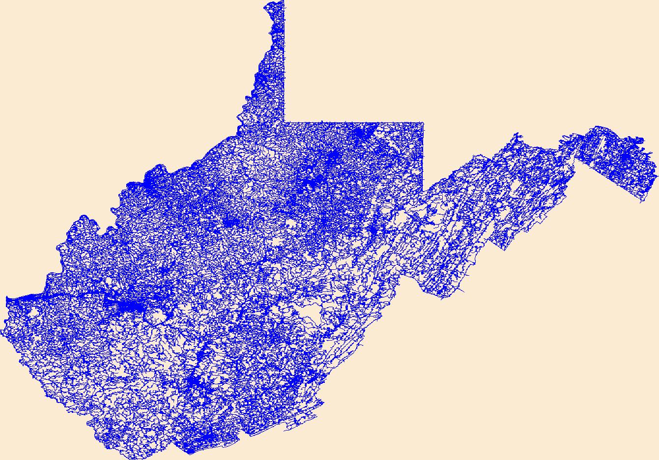
Layers of geospatial data include roads, airports, trails, and railroads.
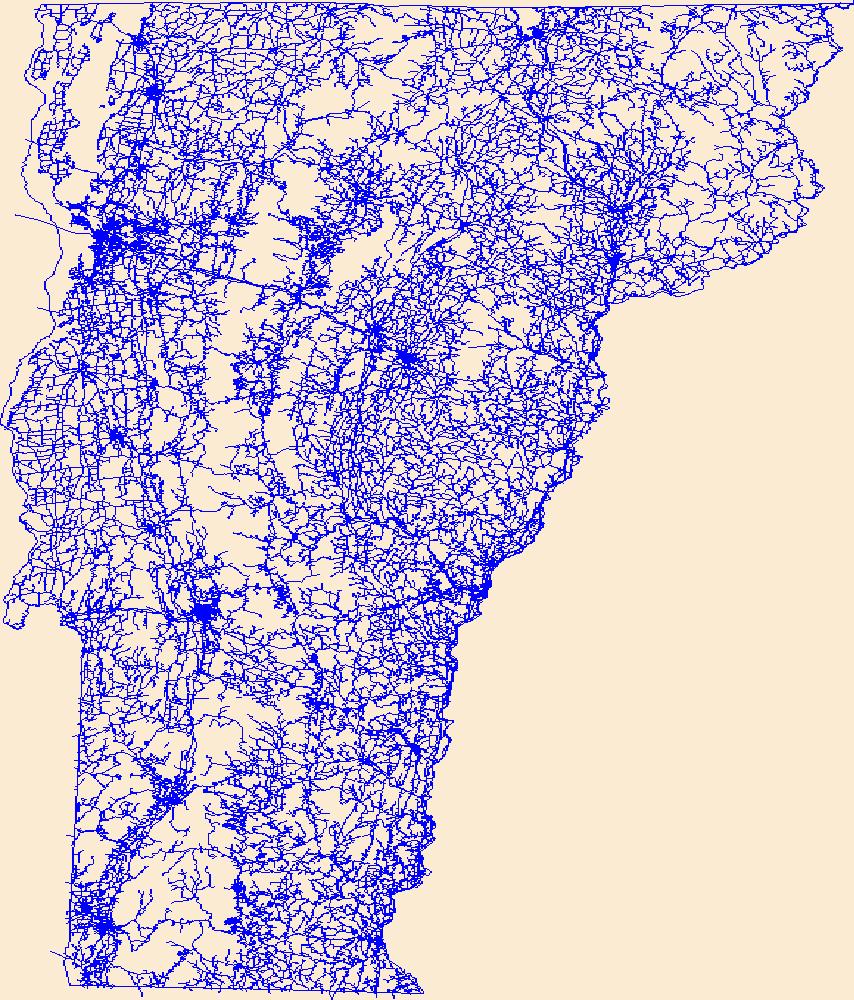
Layers of geospatial data include roads, airports, trails, and railroads.
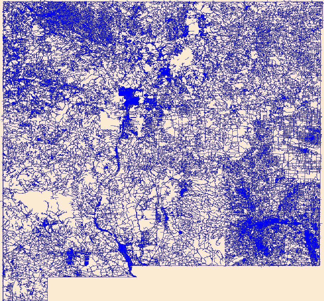
Layers of geospatial data include roads, airports, trails, and railroads.
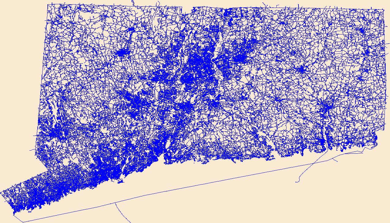
Layers of geospatial data include roads, airports, trails, and railroads.

Layers of geospatial data include roads, airports, trails, and railroads.

Layers of geospatial data include roads, airports, trails, and railroads.
Layers of geospatial data include roads, airports, trails, and railroads.

Layers of geospatial data include roads, airports, trails, and railroads.
Layers of geospatial data include roads, airports, trails, and railroads.
Layers of geospatial data include roads, airports, trails, and railroads.
We will develop SMART-SLEUTH, an advanced spatially explicit modeling framework designed to augment the current SLEUTH model with sophisticated smart-growth capabilities. Based on the latest version of SLEUTH, we will create an open-source GIS-enabled software package that will implement SMART-SLEUTH with advanced modules and tools for evaluating, predicting, and visualizing smart growth scenarios and outcomes. In this software package, a more user friendly Graphic User Interface (GUI), a multi-level automatic calibration approach built on machine learning algorithms, and new spatial landscape metrics for quantifying land change patterns will provide enhanced support for complex model configuration, calibration,...
Categories: Data,
Project;
Tags: 2013,
2014,
2015,
ANTHROPOGENIC/HUMAN INFLUENCED ECOSYSTEMS,
Academics & scientific researchers,
Presented here is a point cloud collected by the U.S. Geological Survey (USGS) using an oblique plane-mounted camera system, covering the area of the Mud Creek landslide on California State Route 1 (SR1), Mud Creek, Big Sur, California. The point cloud is referenced to previously published lidar data and contains RGB information as well as XYZ. Point cloud coordinates are in NAD83 UTM Zone 10 meters. Imagery was collected with a Nikon D800 camera in RAW format and processed using structure-from-motion photogrammetry with Agisoft PhotoScan version 1.2.8 through 1.3.2. Pointclouds were clipped to an AOI using LASTools. The AOI was created from a KMZ in Google Earth and transformed to a shapefile using ArcMap 10.5.
This map layer shows major ports in the United States, Puerto Rico, and the U.S. Virgin Islands. A port is a city, town, or urban area with a harbor where ships load or unload. This is a revised version of the July 2012 map layer.
Categories: Data;
Types: Downloadable,
Map Service,
OGC WFS Layer,
OGC WMS Layer,
Shapefile;
Tags: Academics & scientific researchers,
Alabama,
Arizona,
Arkansas,
California,
The U.S. Geological Survey (USGS) works closely with the Mississippi Department of Transportation (MDOT) to provide information to be used by the MDOT for design of highway-drainage structures. MDOT spends millions of dollars annually for highway construction. Streamflow records, hydrologic analyses of basins, and hydraulic analyses of flooding potential at proposed highway crossings help the MDOT to make more informed decisions on the use of highway construction funding. Flood-frequency and hydraulic characteristics at highway crossings are determined from historical flood-elevation data recovered by the USGS, cross-section data, and correlations with data from nearby gaging stations. Additional streamflow data...
This layer represents 5-year relative counts of wildlife carcasses collected by Montana Department of Transportation (MDT) maintenance personnel or U.S. Fish & Wildlife Service Grizzly Bear Recovery Team personnel on or adjacent to on-system (major) routes from 2008 to 2012. To obtain relative counts, the 5-year total counts per mile, which included all wildlife species observed, were divided by the maximum observed calue (98) to give a relative 0-1 risk score. Total counts, which include all wildlife species observed, along with carnivore counts, which include only black bears, grizzly bears, mountain lions, and wolves, are provided. Counts were derived by identifying the nearest mile marker to each carcass point...
The surface disturbance footprint raster data set quantifies the percent surface disturbance from development at a 90-meter resolution. The surface disturbance footprint is used to compute a multiscale index of landscape intactness for the Bureau of Land Management’s (BLM) landscape approach. The surface disturbance footprint is mapped for the western United States (17 states), by compiling and combining spatial data for four development disturbance variable classes. Development classes include urban land cover (impervious surface), agriculture (cropland), energy and mineral extraction and transport (oil and gas wells, solar arrays, wind turbines, surface mines, pipelines, and transmission lines), and transportation...
This USGS data release is intended to provide a baselayer of information on likely stream crossings throughout the United States. The geopackage provides likely crossings of infrastructure and streams and provides observed information that helps validate modeled crossings and build knowledge about associated conditions through time (e.g. crossing type, crossing condition). Stream crossings were developed by intersecting the 2020 United States Census Bureau Topologically Integrated Geographic Encoding and Referencing (TIGER) U.S. road lines with the National Hydrography Dataset High Resolution flowlines. The current version of this data release specifically focuses on road stream crossings (i.e. TIGER2020 Roads)...
|

|
