Filters: Tags: {"scheme":"None"} (X) > Categories: Collection (X) > Types: OGC WMS Layer (X)
3 results (11ms)|
Filters
Date Range
Extensions Types Contacts
Categories Tag Types Tags (with Scheme=None) |

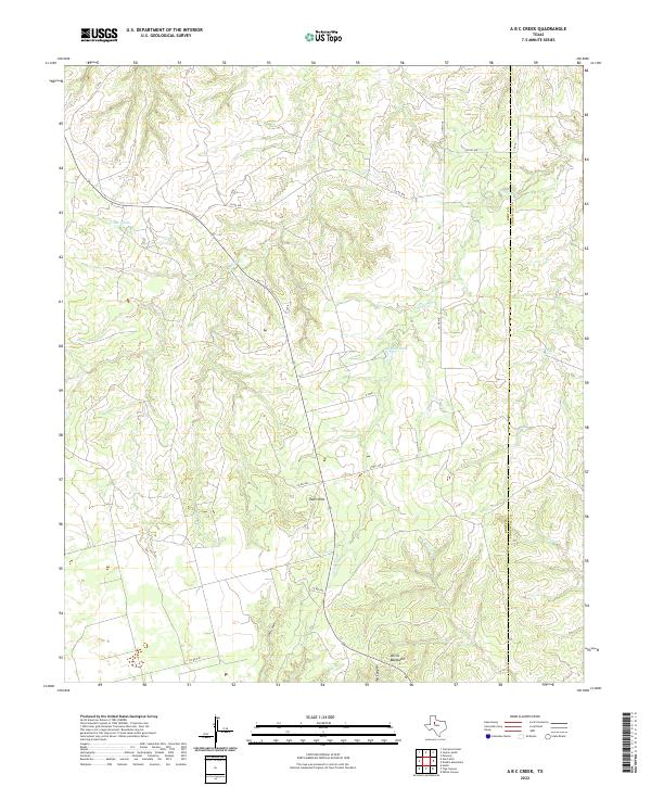
Layered geospatial PDF 7.5 Minute Quadrangle Map. Layers of geospatial data include orthoimagery, roads, grids, geographic names, elevation contours, hydrography, boundaries, and other selected map features. This map depicts geographic features on the surface of the earth. One intended purpose is to support emergency response at all levels of government. The geospatial data in this map are from selected National Map data holdings and other government sources.
Categories: Collection;
Types: Map Service,
OGC WFS Layer,
OGC WMS Layer,
OGC WMS Service;
Tags: Public Land Survey System,
U.S. National Grid,
US,
USGS:6d94af68-1f05-4f9e-9b5a-63f7a05d258b,
United States,
The National Science Foundation Ice Core Facility (NSF-ICF) - formerly the U.S. National Ice Core Laboratory (NICL) - is a facility for storing, curating, and studying meteoric ice cores recovered from glaciated regions of the world. NSF-ICF provides scientists with the capability to conduct examinations and measurements on ice cores, and it preserves the integrity of these ice cores in a long-term repository for current and future investigations.
Categories: Collection,
Data;
Types: Map Service,
OGC WFS Layer,
OGC WMS Layer,
OGC WMS Service;
Tags: Collection,
USGS Science Data Catalog (SDC)

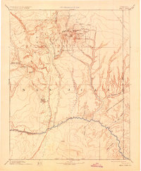
USGS Historical Quadrangle in GeoPDF. The USGS Historical Quadrangle Scanning Project (HQSP) is scanning all scales and all editions of topographic maps published by the U.S. Geological Survey (USGS) since the inception of the topographic mapping program in 1884.
Categories: Collection;
Types: Citation,
Map Service,
OGC WFS Layer,
OGC WMS Layer,
OGC WMS Service;
Tags: Public Land Survey System,
U.S. National Grid,
US,
USGS:bb7b145f-8d7f-405b-96ae-348d61172951,
United States,
|

|