Filters: Tags: Allegan County (X)
59 results (69ms)|
Filters
Contacts
(Less)
|
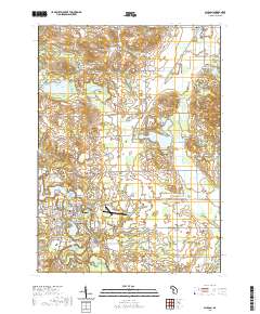
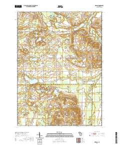
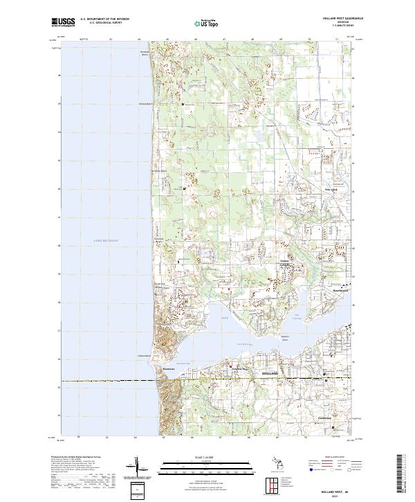
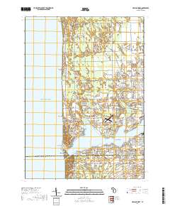
Layered geospatial PDF 7.5 Minute Quadrangle Map. Layers of geospatial data include orthoimagery, roads, grids, geographic names, elevation contours, hydrography, and other selected map features. This map is derived from GIS (geospatial information system) data. It represents a repackaging of GIS data in traditional map form, not creation of new information. The geospatial data in this map are from selected National Map data holdings and other government sources.
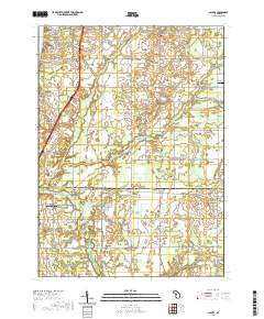
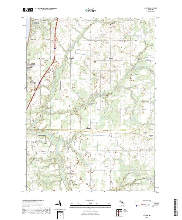
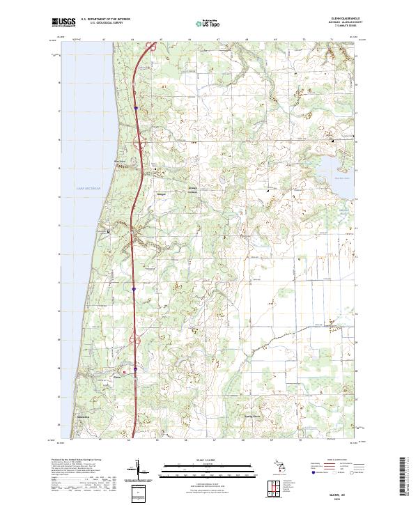
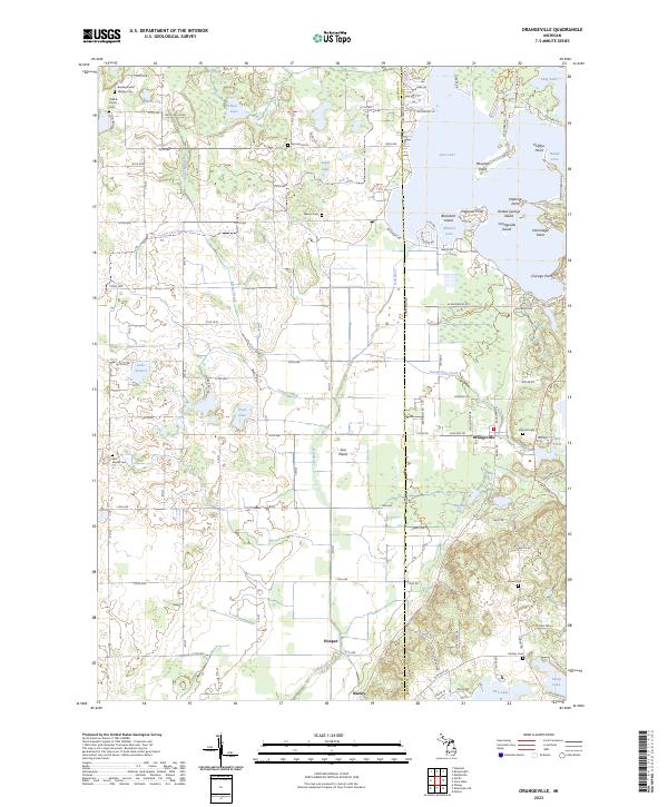
Layered geospatial PDF 7.5 Minute Quadrangle Map. Layers of geospatial data include orthoimagery, roads, grids, geographic names, elevation contours, hydrography, and other selected map features. This map is derived from GIS (geospatial information system) data. It represents a repackaging of GIS data in traditional map form, not creation of new information. The geospatial data in this map are from selected National Map data holdings and other government sources.
Structure-from-Motion (SfM) point clouds were created from images collected using a remotely piloted unoccupied aerial system over the bluffs of the eastern shore of Lake Michigan in Miami Park rural residential area. The digital imagery was collected with the internal camera of a DJI Phantom 4 PRO PPK that was operated by the University of Toledo, on July 19, 2021. The images cover an extent between south of Lakestone Dr. to the north, and south of A St. to the south. The images were collected in .jpg format and include Exif metadata with GPS date, time, and latitude and longitude, copyright, keywords, and other fields. Point clouds were created from the collected images using SfM photogrammetry software. The point...
Images were collected using a remotely piloted unoccupied aerial system over the bluffs of the eastern shore of Lake Michigan in Miami Park rural residential area, Allegan County, MI. Images were collected on July 19, 2021, by Richard Becker, University of Toledo, and cover an extent between south of Lakestone Dr. to the north, and south of A St. to the south. Images were collected to monitor active bluff erosion in the area. The images are presented here in zipped files grouped by type of collection, nadir and oblique. The images were collected in JPG format and include Exif metadata with GPS date, time, longitude and latitude, copyright, keywords, and other fields. These files were used in structure-from-motion...
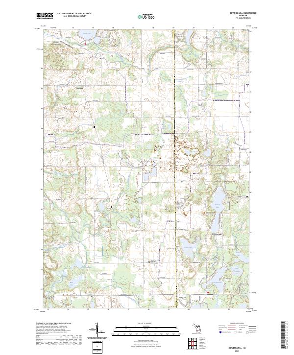
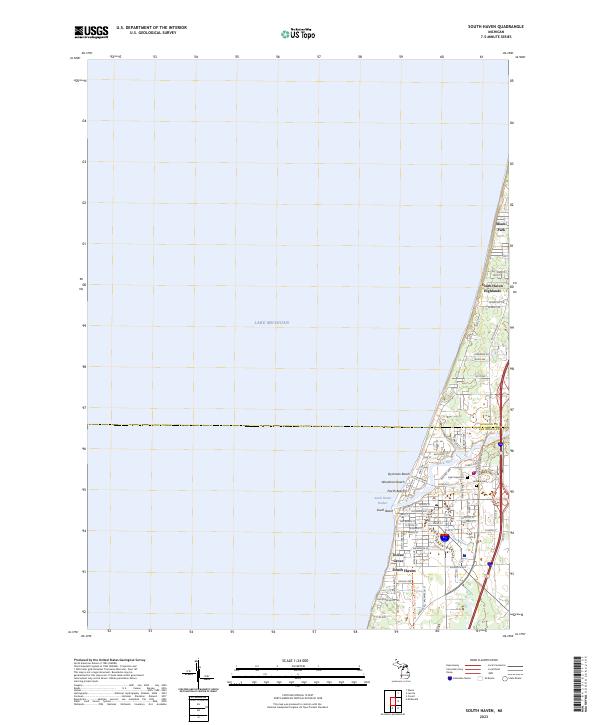
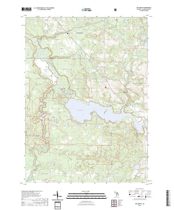
Layered geospatial PDF 7.5 Minute Quadrangle Map. Layers of geospatial data include orthoimagery, roads, grids, geographic names, elevation contours, hydrography, and other selected map features. This map is derived from GIS (geospatial information system) data. It represents a repackaging of GIS data in traditional map form, not creation of new information. The geospatial data in this map are from selected National Map data holdings and other government sources.
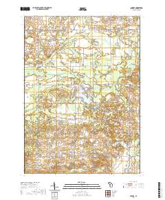
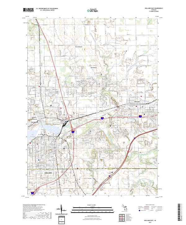
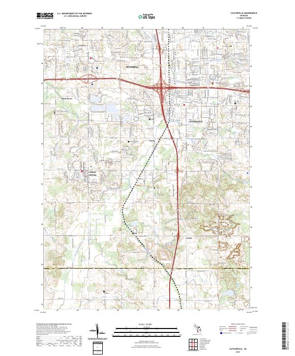
Layered geospatial PDF 7.5 Minute Quadrangle Map. Layers of geospatial data include orthoimagery, roads, grids, geographic names, elevation contours, hydrography, and other selected map features. This map is derived from GIS (geospatial information system) data. It represents a repackaging of GIS data in traditional map form, not creation of new information. The geospatial data in this map are from selected National Map data holdings and other government sources.
Layered geospatial PDF 7.5 Minute Quadrangle Map. Layers of geospatial data include orthoimagery, roads, grids, geographic names, elevation contours, hydrography, and other selected map features. This map is derived from GIS (geospatial information system) data. It represents a repackaging of GIS data in traditional map form, not creation of new information. The geospatial data in this map are from selected National Map data holdings and other government sources.
Layered geospatial PDF 7.5 Minute Quadrangle Map. Layers of geospatial data include orthoimagery, roads, grids, geographic names, elevation contours, hydrography, and other selected map features. This map is derived from GIS (geospatial information system) data. It represents a repackaging of GIS data in traditional map form, not creation of new information. The geospatial data in this map are from selected National Map data holdings and other government sources.
Layered geospatial PDF 7.5 Minute Quadrangle Map. Layers of geospatial data include orthoimagery, roads, grids, geographic names, elevation contours, hydrography, and other selected map features. This map is derived from GIS (geospatial information system) data. It represents a repackaging of GIS data in traditional map form, not creation of new information. The geospatial data in this map are from selected National Map data holdings and other government sources.
Layered geospatial PDF 7.5 Minute Quadrangle Map. Layers of geospatial data include orthoimagery, roads, grids, geographic names, elevation contours, hydrography, and other selected map features. This map is derived from GIS (geospatial information system) data. It represents a repackaging of GIS data in traditional map form, not creation of new information. The geospatial data in this map are from selected National Map data holdings and other government sources.
Layered geospatial PDF 7.5 Minute Quadrangle Map. Layers of geospatial data include orthoimagery, roads, grids, geographic names, elevation contours, hydrography, and other selected map features. This map is derived from GIS (geospatial information system) data. It represents a repackaging of GIS data in traditional map form, not creation of new information. The geospatial data in this map are from selected National Map data holdings and other government sources.
Images were collected using a remotely piloted unoccupied aerial system over the bluffs of the eastern shore of Lake Michigan in St. Joseph rural residential area, Allegan County, MI. The digital imagery was collected with the internal camera of a DJI Phantom 3 PRO for 2019 data and DJI Phantom 4 PRO for 2021 data that was operated by the University of Toledo. on July 13, 2021. They cover an extent between the intersection of Lakeshore Dr. with Lakeshore Road to the north, and South Lakeshore Dr. to the south. Images were collected to monitor active bluff erosion in the area. The images are presented here in zipped files grouped by type of collection, nadir and oblique. The images were collected in .jpg format with...
Categories: Data;
Tags: Allegan County,
GMEG,
Geology, Minerals, Energy and Geophysics Science Center,
Lake Michigan,
MGS,
Layered geospatial PDF 7.5 Minute Quadrangle Map. Layers of geospatial data include orthoimagery, roads, grids, geographic names, elevation contours, hydrography, and other selected map features. This map is derived from GIS (geospatial information system) data. It represents a repackaging of GIS data in traditional map form, not creation of new information. The geospatial data in this map are from selected National Map data holdings and other government sources.
Layered geospatial PDF 7.5 Minute Quadrangle Map. Layers of geospatial data include orthoimagery, roads, grids, geographic names, elevation contours, hydrography, and other selected map features. This map is derived from GIS (geospatial information system) data. It represents a repackaging of GIS data in traditional map form, not creation of new information. The geospatial data in this map are from selected National Map data holdings and other government sources.
Layered geospatial PDF 7.5 Minute Quadrangle Map. Layers of geospatial data include orthoimagery, roads, grids, geographic names, elevation contours, hydrography, and other selected map features. This map is derived from GIS (geospatial information system) data. It represents a repackaging of GIS data in traditional map form, not creation of new information. The geospatial data in this map are from selected National Map data holdings and other government sources.
Layered geospatial PDF 7.5 Minute Quadrangle Map. Layers of geospatial data include orthoimagery, roads, grids, geographic names, elevation contours, hydrography, and other selected map features. This map is derived from GIS (geospatial information system) data. It represents a repackaging of GIS data in traditional map form, not creation of new information. The geospatial data in this map are from selected National Map data holdings and other government sources.

Images were collected using an unmanned aerial system over the bluffs of eastern shore of Lake Michigan in Miami Park rural residential area, Allegan County, MI. Images were collected in four separate instances on July 9, August 10, September 1, and October 18, 2019 and cover similar extent. Images were collected to monitor active bluff erosion in the area. The images are presented here in zipped files grouped by month and collection. The images were collected in jpg format and include Exif metadata with GPS date, time, and latitude and longitude, copyright, keywords, and other fields. These files were used in structure-from-motion (SfM) processing to obtain georeferenced 3D data. The 3D derived data are in las...
Layered geospatial PDF 7.5 Minute Quadrangle Map. Layers of geospatial data include orthoimagery, roads, grids, geographic names, elevation contours, hydrography, and other selected map features. This map is derived from GIS (geospatial information system) data. It represents a repackaging of GIS data in traditional map form, not creation of new information. The geospatial data in this map are from selected National Map data holdings and other government sources.
Layered geospatial PDF 7.5 Minute Quadrangle Map. Layers of geospatial data include orthoimagery, roads, grids, geographic names, elevation contours, hydrography, and other selected map features. This map is derived from GIS (geospatial information system) data. It represents a repackaging of GIS data in traditional map form, not creation of new information. The geospatial data in this map are from selected National Map data holdings and other government sources.
Layered geospatial PDF 7.5 Minute Quadrangle Map. Layers of geospatial data include orthoimagery, roads, grids, geographic names, elevation contours, hydrography, and other selected map features. This map is derived from GIS (geospatial information system) data. It represents a repackaging of GIS data in traditional map form, not creation of new information. The geospatial data in this map are from selected National Map data holdings and other government sources.
|

|
