Filters: Tags: British Columbia (X) > Date Range: {"choice":"year"} (X)
112 results (13ms)|
Filters
Date Types (for Date Range)
Types
Contacts
Categories Tag Types
|
This data release contains historical SnowModel (Liston and Elder, 2006) output for the Crown of the Continent and surrounding areas in Montana and Idaho, USA; and Alberta and British Columbia, Canada from September 1, 1981 through August 31, 2020. Fifteen daily variables were simulated or derived for this release: (1) snow water equivalent (swed), (2) liquid precipitation (rpre), (3) solid precipitation (spre), (4) albedo (albd), (5) glacial ice melt (glmt), (6) total precipitation (prec), (7) runoff (roff), (8) snow covered area (sca), (9) snow density (sden), (10) snowmelt (smlt), (11) snow depth (snod), (12) snow sublimation (ssub), (13) air temperature (tair), (14) wind speed (wspd), and (15) wind direction...
Categories: Data;
Types: Downloadable,
Map Service,
OGC WFS Layer,
OGC WMS Layer,
Shapefile;
Tags: Alberta,
British Columbia,
Crown of the Continent,
Glacier National Park,
Idaho,
The Cascadia Partner Forum will complete conservation design for four Great Northern Landscape Conservation Cooperative conservation targets with significance to the transboundary Cascadia landscape to inform sound, data-driven management planning and action. This project aims to complete conservation design at the Cascadia-wide scale for grizzly bear, salmon, aquatic, and terrestrial connectivity to contribute to the Great Northern LCC Science Plan, while providing input and integration to the coarser-scale GNLCC-wide Science Plans established objectives, threats, metrics, and conservation actions for each target. Additionally, the Forum will conduct analyses on a common Great Northern LCC landscape stressor roads...
Categories: Data,
Project;
Types: Map Service,
OGC WFS Layer,
OGC WMS Layer,
OGC WMS Service;
Tags: Aquatic Connectivity,
British Columbia,
Bull Trout,
Canada Lynx,
Cascadia,
Landscape simulation modeling will be used to develop detailed management guidelines for restoring and sustaining whitebark pine under future climates, accounting for the principal stressors that threaten its persistence (exotic disease infections, mountain pine beetles, and fire exclusion policies). We will build on existing work, including the 2012 publication A Range-Wide Restoration Strategy for Whitebark Pine Forests and existing simulation areas within critical whitebark pine habitat. This project will create a robust and trans-boundary set of management tools for creating resistant and resilient whitebark pine forests within the Rocky Mountains, USA and Canada.FY2013Objectives:We propose to use FireBGCv2...
Categories: Data,
Project;
Types: Map Service,
OGC WFS Layer,
OGC WMS Layer,
OGC WMS Service;
Tags: Alberta,
British Columbia,
Climate Change,
Conservation Plan/Design/Framework,
Conservation Planning,
The project will establish contact with interested parties in each tribe or first nation within the Crown of the Continent to collect information on all relevant activities and research regarding climate and adaptive management within each tribal nation. We will coordinate a meeting of all interested tribal contacts and coordinate tribal activities with other efforts in the Crown including the Crown Managers Partnership, the Crown of the Continent Conservation Initiative, and the Crown Roundtable Adaptive Management Initiative.Objectives:Establish a contact on climate adaptation management in each interested first nation/tribe or related organization in the Crown of the Continent.Develop a white paper that summarizes...
Categories: Data,
Project;
Types: Map Service,
OGC WFS Layer,
OGC WMS Layer,
OGC WMS Service;
Tags: Adaptive Management,
Alberta,
British Columbia,
Climate Change,
Conservation Planning,
The project incorporates Heiltsuk Traditional Knowledge and Values into ecosystem-based management planning within Strategic Landscape Reserve Design (SLRD) Landscape Units. The SLRD process seeks to identify areas to set aside from logging (harvesting) over short and long term timeframes. Heiltsuk Traditional Use Studies (HTUS) identify harvesting and other types of cultural sites that are important to Heiltsuk well-being. HTUS data that were incorporated into a Geographic GIS was drawn on for this project, where Heiltsuk members collected spatial and photographic data so that culturally important sites and forest resources could be buffered from forestry and other development activities. The base-line study, Map...
Categories: Data,
Project;
Types: Map Service,
OGC WFS Layer,
OGC WMS Layer,
OGC WMS Service;
Tags: 2012,
British Columbia,
British Columbia,
Change in air temperature and precipitation,
Climate Change,
Our primary goal for this dataset was to obtain the population and number of dwellings at the finest common scale possible. Because the Canadian government first began to collect the pertinent census information at our desired scale in 2006, we used 2006 as the baseline for this product on the Canadian CCE. However, because (1) U.S. Census takes place every 10 years, and (2) our desired baseline date for the protocol was 2000, the census 2000 blocks were used on the U.S. CCE. This dataset was developed by the Crown Managers Partnership, as part of a transboundary collaborative management initiative for the Crown of the Continent Ecosystem, based on commonly identified management priorities that are relevant at the...
Categories: Data;
Types: Citation,
Downloadable,
Map Service,
OGC WFS Layer,
OGC WMS Layer,
Shapefile;
Tags: Alberta,
Alberta,
British Columbia,
British Columbia,
CCE,
This data release contains historical SnowModel (Liston and Elder, 2006) output for the Crown of the Continent and surrounding areas in Montana and Idaho, USA; and Alberta and British Columbia, Canada from September 1, 1981 through August 31, 2020. Fifteen daily variables were simulated or derived for this release: (1) snow water equivalent (swed), (2) liquid precipitation (rpre), (3) solid precipitation (spre), (4) albedo (albd), (5) glacial ice melt (glmt), (6) total precipitation (prec), (7) runoff (roff), (8) snow covered area (sca), (9) snow density (sden), (10) snowmelt (smlt), (11) snow depth (snod), (12) snow sublimation (ssub), (13) air temperature (tair), (14) wind speed (wspd), and (15) wind direction...
A “gateway” using Data Basin technology has been developed to serve the data integration, collaboration and outreach needs of the NPLCC. The gateway will continue to be a customized interface of the Data Basin platform that includes special branding, curation of spatial content, and direct links to selected sites in support of projects funded by and for the NPLCC . Conservation Biology Institute will add to the “gateway” a spatial data visualization tool to showcase priority data from the Pacific Marine and Estuarine Fish Habitat Partnership.
Categories: Data;
Types: Map Service,
OGC WFS Layer,
OGC WMS Layer,
OGC WMS Service;
Tags: AK-1,
Academics & scientific researchers,
All priority topics,
British Columbia,
CA-2,
The project incorporates Heiltsuk Traditional Knowledge and Values into ecosystem-based management planning within Strategic Landscape Reserve Design (SLRD) Landscape Units. The SLRD process seeks to identify areas to set aside from logging (harvesting) over short and long term timeframes. Heiltsuk Traditional Use Studies (HTUS) identify harvesting and other types of cultural sites that are important to Heiltsuk well-being. HTUS data that were incorporated into a Geographic GIS was drawn on for this project, where Heiltsuk members collected spatial and photographic data so that culturally important sites and forest resources could be buffered from forestry and other development activities. The base-line study, Map...
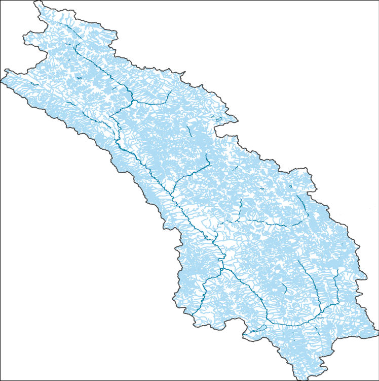
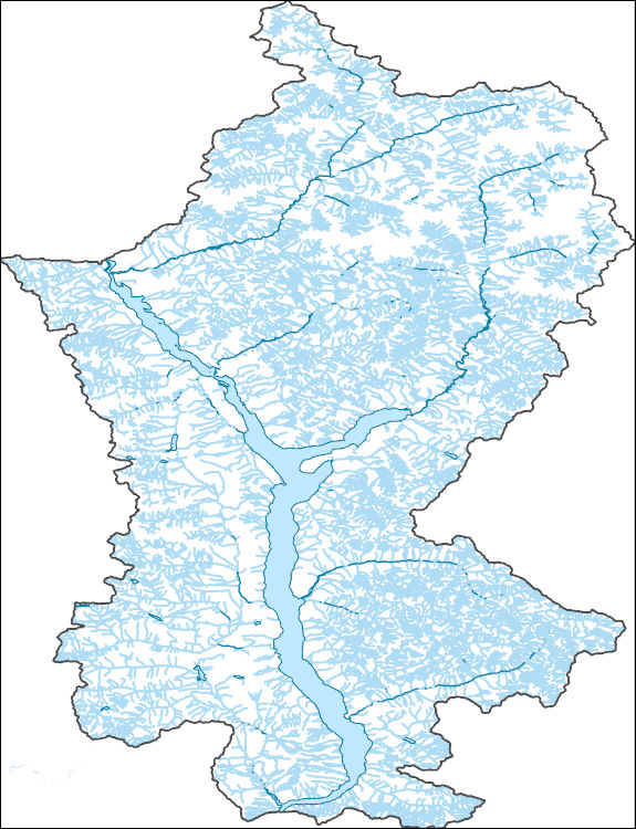
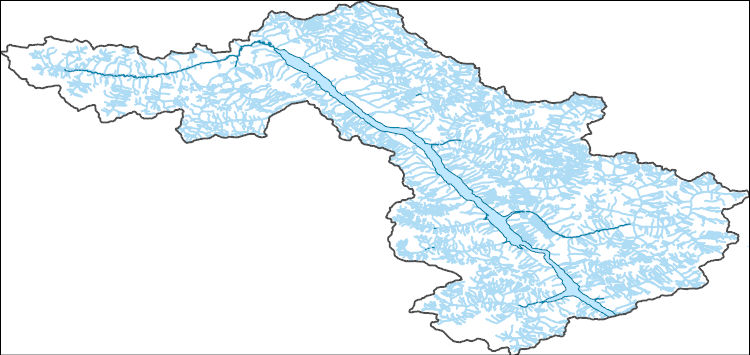
The National Hydrography Dataset (NHD) is a feature-based database that interconnects and uniquely identifies the stream segments or reaches that make up the nation's surface water drainage system. NHD data was originally developed at 1:100,000-scale and exists at that scale for the whole country. This high-resolution NHD, generally developed at 1:24,000/1:12,000 scale, adds detail to the original 1:100,000-scale NHD. (Data for Alaska, Puerto Rico and the Virgin Islands was developed at high-resolution, not 1:100,000 scale.) Local resolution NHD is being developed where partners and data exist. The NHD contains reach codes for networked features, flow direction, names, and centerline representations for areal water...
The National Hydrography Dataset (NHD) is a feature-based database that interconnects and uniquely identifies the stream segments or reaches that make up the nation's surface water drainage system. NHD data was originally developed at 1:100,000-scale and exists at that scale for the whole country. This high-resolution NHD, generally developed at 1:24,000/1:12,000 scale, adds detail to the original 1:100,000-scale NHD. (Data for Alaska, Puerto Rico and the Virgin Islands was developed at high-resolution, not 1:100,000 scale.) Local resolution NHD is being developed where partners and data exist. The NHD contains reach codes for networked features, flow direction, names, and centerline representations for areal water...
The National Hydrography Dataset (NHD) is a feature-based database that interconnects and uniquely identifies the stream segments or reaches that make up the nation's surface water drainage system. NHD data was originally developed at 1:100,000-scale and exists at that scale for the whole country. This high-resolution NHD, generally developed at 1:24,000/1:12,000 scale, adds detail to the original 1:100,000-scale NHD. (Data for Alaska, Puerto Rico and the Virgin Islands was developed at high-resolution, not 1:100,000 scale.) Local resolution NHD is being developed where partners and data exist. The NHD contains reach codes for networked features, flow direction, names, and centerline representations for areal water...
We will develop an approach to identify fire refugia in Rocky Mountain ecosystems of the U.S. and Canada then test the function of refugia for biodiversity conservation under current and future climate/fire scenarios. Our products will be designed to inform decision-making in land/easement acquisition, identification of critical areas for maintaining landscape and process connectivity/permeability, and extension of the temporal context for spatial conservation decision making. The approach will be testable for transferability to other locations and ecosystems.FY2013Objectives:The proposed project will provide a science application for focused resource conservation by developing and testing the concept of refugia...
Categories: Data,
Project;
Types: Map Service,
OGC WFS Layer,
OGC WMS Layer,
OGC WMS Service;
Tags: Alberta,
British Columbia,
Canada Lynx,
Canadian Rockies,
Canadian Rockies Greater Ecosystem,
This project aims to provide large landscape practitioners of the U.S. Northern Rockies with a decision support tool for prioritizing conservation action to mitigate road impacts on wildlife corridors. We will overlay analyses of corridor network centrality with analyses of wildlife-vehicle collision risk to identify where high-importance corridors meet high-impact road segments. Our findings will establish a rigorous, transparent basis for focusing road mitigation efforts where they will yield the greatest benefits to region-wide connectivity, and will be conveyed in the form of web-based map tools, a comprehensive written report, and a workshop for large landscape practitioners.Objectives:The primary objective...
Categories: Data,
Project;
Types: Map Service,
OGC WFS Layer,
OGC WMS Layer,
OGC WMS Service;
Tags: Alberta,
Applications and Tools,
British Columbia,
Canada Lynx,
Crown of the Continent Ecosystm,
The Great Northern Landscape Conservation Cooperative (GLNCC) has convened the Columbia Basin Partner Forum (CBPF) to help facilitate collaboration among conservation practitioners and partnerships that share landscape conservation challenges in an eco-geographic context. Through a loosely structured process, field-level managers, scientists, and conservation constituents will identify priority conservation information, scientific needs, and implementation opportunities within the scope of the Great Northern LCC Strategic Conservation Framework. The CBPF will also provide a means to engage the partnership network (a more diverse and directly knowledgeable constituency) on specific conservation needs that will inform...
Categories: Data,
Project;
Types: Map Service,
OGC WFS Layer,
OGC WMS Layer,
OGC WMS Service;
Tags: Alberta,
Aquatic Connectivity,
British Columbia,
Climate Change,
Columbia Basin,
Assemble three sets of downscaled climate data (historic) and projections (future) developed by the USGS and the Climate Impacts Group at University of Washington; evaluate data documentation and formatting, and edit or repair as needed; deliver all climate data in a userfriendly format from mirrored data servers located in Corvallis, OR and Bozeman, MT.The public purpose of this project is ultimately to provide sound scientific support that is critical for guiding planning, decisions and responses aimed at managing the ecosystems of the GNLCC and other LCCs under global change. The objectives of the project are 1) to design and establish a state-of-the-art data server that is fault tolerant and expandable to meet...
Categories: Data,
Project;
Types: Map Service,
OGC WFS Layer,
OGC WMS Layer,
OGC WMS Service;
Tags: Academics & scientific researchers,
Alberta,
Applications and Tools,
British Columbia,
CO-2,
From 2002 to 2011, 94 bighorn sheep were collared to collect GPS locations for approximately a year.
The Washington Connected Landscapes Project will provide a framework to address the interacting impacts of habitat fragmentation and climate change on ecological systems and wildlife species within the Great Northern Landscape Conservation Cooperative (GNLCC) boundary.Managing for well-connected landscapes is a key strategy to enhance resilience and ensure the long-term viability of plant and animal populations. However, conservation planning efforts have rarely included connectivity for ecological processes such as dispersal, migration, and gene flow. Connectivity conservation is particularly important in the face of climate change, because many species will require highly permeable, well-connected landscapes not...
Categories: Data,
Project;
Types: Map Service,
OGC WFS Layer,
OGC WMS Layer,
OGC WMS Service;
Tags: Alberta,
Alberta,
Applications and Tools,
British Columbia,
British Columbia,
We propose to work with the Rocky Mountain Partnership Forum to expand upon the successful approach applied in the first two years of this project to help managers incorporate climate change science into their natural resource management decisions for a new resource of interest that will be chosen by the Rocky Mountain Partner Forum members. This project will be implemented through the Rocky Mountain Partner Forum to share information with and among partners about emerging climate science and strategies for integrating climate change into natural resource management decisions in the region. We will also support the Rocky Mountain Partner Forum Leadership Team as it seeks to formalize the Forum and set directions...
Categories: Data,
Project;
Types: Map Service,
OGC WFS Layer,
OGC WMS Layer,
OGC WMS Service;
Tags: Alberta,
Aquatic Connectivity,
British Columbia,
Bull Trout,
Climate Change,
This dataset consists of one table with a record (row) for each goose location and columns containing location information and covariates. The dataset was used in an analysis of altitude selection and flight propensity in an accompanying paper (Weiser et al. 2024) and is being provided here to allow replication of that analysis. Goose locations (latitude, longitude, and altitude) were collected with GPS tags and represent three subspecies: Pacific Greater White-fronted Goose, Tule Greater White-fronted Goose, and Lesser Snow Goose. Covariates include weather information from ERA5 (Hersbach et al. 2022). In addition to the "used" locations (altitudes at which birds were recorded), the dataset also includes "available"...
|

|
