Filters: Tags: Gila (X) > Types: Citation (X)
26 results (52ms)|
Filters
|
Layers of geospatial data include contours, boundaries, land cover, hydrography, roads, transportation, geographic names, structures, and other selected map features.
Layers of geospatial data include contours, boundaries, land cover, hydrography, roads, transportation, geographic names, structures, and other selected map features.
Layers of geospatial data include contours, boundaries, land cover, hydrography, roads, transportation, geographic names, structures, and other selected map features.
Layers of geospatial data include contours, boundaries, land cover, hydrography, roads, transportation, geographic names, structures, and other selected map features.
Layers of geospatial data include contours, boundaries, land cover, hydrography, roads, transportation, geographic names, structures, and other selected map features.
Layers of geospatial data include contours, boundaries, land cover, hydrography, roads, transportation, geographic names, structures, and other selected map features.
Layers of geospatial data include contours, boundaries, land cover, hydrography, roads, transportation, geographic names, structures, and other selected map features.
Layers of geospatial data include contours, boundaries, land cover, hydrography, roads, transportation, geographic names, structures, and other selected map features.
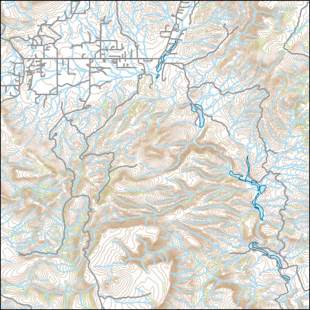
Layers of geospatial data include contours, boundaries, land cover, hydrography, roads, transportation, geographic names, structures, and other selected map features.
Crayfish are not native to the Colorado River basin (CRB), however they are now established in portions of the mainstem and in many tributaries. I used density manipulation experiments in a laboratory setting to determine intra- and interspecific competition for food between Orconectes virilis, an aggressive polytrophic crayfish now common in the CRB, and two native fishes: Gila chub, Gila intermedia, and flannelmouth sucker, Catostomus latipinnis. I tested each fish species in separate trials. Growth of Gila chub decreased when animal densities increased, however they were more affected by intraspecific competition than by crayfish presence. In contrast, growth of flannelmouth suckers was more affected by crayfish...
Categories: Publication;
Types: Citation,
Journal Citation;
Tags: Catostomus,
Environmental Biology of Fishes,
Gila,
Orconectes,
growth,
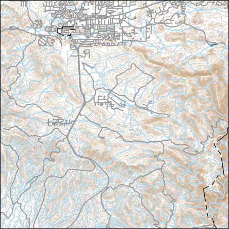
Layers of geospatial data include contours, boundaries, land cover, hydrography, roads, transportation, geographic names, structures, and other selected map features.
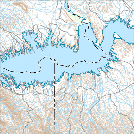
Layers of geospatial data include contours, boundaries, land cover, hydrography, roads, transportation, geographic names, structures, and other selected map features.
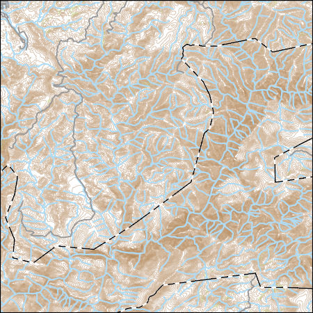
Layers of geospatial data include contours, boundaries, land cover, hydrography, roads, transportation, geographic names, structures, and other selected map features.
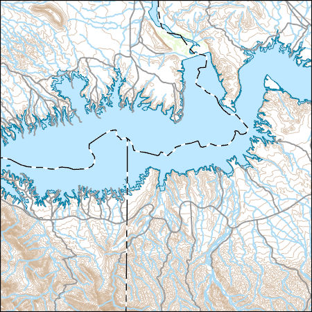
Layers of geospatial data include contours, boundaries, land cover, hydrography, roads, transportation, geographic names, structures, and other selected map features.
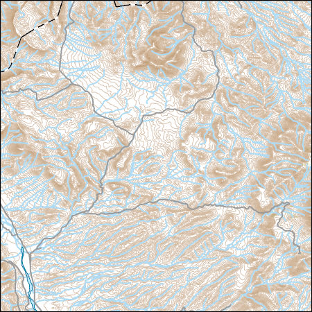
Layers of geospatial data include contours, boundaries, land cover, hydrography, roads, transportation, geographic names, structures, and other selected map features.
The extent and impact of introgressive hybridization was examined in the Gila robusta complex of cyprinid fishes using mitochondrial DNA (mtDNA) sequence variation. Lower Colorado River basin populations of G. robusta, G. elegans, and G. cypha exhibited distinct mtDNAs, with only limited introgression of G. elegans into G. cypha. The impact of hybridization was significant in upper Colorado River basin populations; most upper basin fishes sampled exhibited only G. cypha mtDNA haplotypes, with some individuals exhibiting mtDNA from G. elegans. The complete absence of G. robusta mtDNA, even in populations of morphologically pure G. robusta, indicates extensive introgression that predates human influence. Analysis...
Categories: Publication;
Types: Citation,
Journal Citation;
Tags: Cyprinidae,
Evolution,
Gila,
ND2,
cytochrome b,
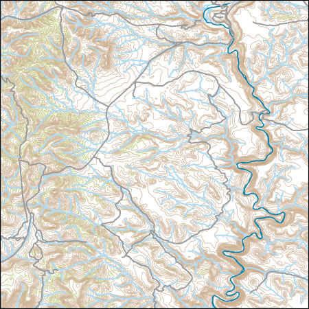
Layers of geospatial data include contours, boundaries, land cover, hydrography, roads, transportation, geographic names, structures, and other selected map features.
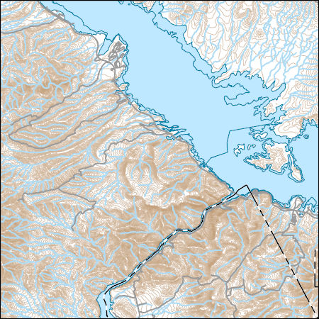
Layers of geospatial data include contours, boundaries, land cover, hydrography, roads, transportation, geographic names, structures, and other selected map features.
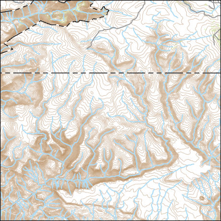
Layers of geospatial data include contours, boundaries, land cover, hydrography, roads, transportation, geographic names, structures, and other selected map features.
|

|