Filters: Tags: Inland Waters (X)
599 results (49ms)|
Filters
Date Range
Extensions Types Contacts
Categories
Tag Types
|

The U.S. Geological Survey, in cooperation with the Town of Barnstable, Massachusetts, modified an existing numerical, steady-state regional MODFLOW-2005 groundwater-flow model to evaluate changes in water levels from a reference condition (2015) for nine pumping and wastewater return flow scenarios prepared by the Hyannis Water System. The three-dimensional, steady-state groundwater-flow model used to simulate water level changes is a modified and recalibrated version of an existing model that was used to simulate the potential effects of sea-level rise on groundwater levels of the Sagamore and Monomoy freshwater lenses of the Cape Cod aquifer (Walter and others, 2016) (https://doi.org/10.3133/sir20165058). Two...
U.S. Geological Survey Southeast Region inland bathymetric survey data are compiled to create a survey inventory providing survey records including survey system and product information, and links to survey datasets when available. Dataset footprints including this information and showing the location and extent of surveys can be downloaded as a geodatabase and can be accessed through Spatial Services provided here.
Categories: Data;
Types: ArcGIS REST Map Service,
ArcGIS Service Definition,
Downloadable,
Map Service,
OGC WFS Layer,
OGC WMS Layer,
OGC WMS Service,
Shapefile;
Tags: Acoustic Sonar,
Acoustic sonar,
Arkansas,
Bathymetry,
Bathymetry,
These data are high-resolution bathymetry (riverbed elevation) in ASCII XYZ format, generated from the June 5, 2017, hydrographic survey of the Gasconade River near structure A1411 on Missouri State Highway 89 near Rich Fountain, Missouri, to help identify possible effects from extreme flooding on May 1-2, 2017. Hydrographic data were collected using a high-resolution multibeam echosounder mapping system (MBMS), which consists of a multibeam echosounder (MBES) and an inertial navigation system (INS) mounted on a marine survey vessel. Data were collected as the vessel traversed the river along planned survey lines distributed throughout the reach. Data collection software integrated and stored the depth data from...
These data are high-resolution bathymetry (riverbed elevation) and depth-averaged velocities in ASCII format, generated from hydrographic and velocimetric surveys of the Missouri River near structures A3292/L0561 on Interstate 70 near St. Louis, Missouri, in 2010, 2011 and 2016. Hydrographic data were collected using a high-resolution multibeam echosounder mapping system (MBMS), which consists of a multibeam echosounder (MBES) and an inertial navigation system (INS) mounted on a marine survey vessel. Data were collected as the vessel traversed the river along planned survey lines distributed throughout the reach. Data collection software integrated and stored the depth data from the MBES and the horizontal and vertical...
These datasets contain XYZ locations and other attributes of points from topographic bank surveys of sites WB101 and WB106 downstream from Walter Bouldin Dam near Wetumpka, Alabama, from November 20, 2014, through July 20, 2017. Topographic data were collected using a motion-compensated LiDAR (MC-LiDAR) system mounted on a marine survey vessel equipped with an inertial navigation system (INS). Data were collected as the vessel traversed the river along a survey line near sites WB101 and WB106. Data collection software integrated and stored the range and angular measurements from the LiDAR, and the horizontal and vertical position and attitude data of the vessel from the INS in real time. Data processing required...
Within the study area, small and large stream ecosystems provide important habitat for aquatic insects, fish, and waterbirds. Large streams are those with sufficient depth to allow for deep pool areas, which provide overwintering habitat. Large streams ecosystems support extensive spawning and rearing habitat for numerous fish species in the study area. They also provide important habitat for aquatic invertebrates as well as important transportation and recreational uses for local residents. Large streams are typically less productive than smaller streams due to warmer temperatures in smaller tributaries. Consequently, smaller streams are often preferred summer feeding habitat for many fish species and aquatic insects....
The invasion vulnerability model was first developed for the broad region between the Alaska Range and Gulf of Alaska. Model development for this broad region allows for much greater resolution of the relationship among variables. Additionally, it encompasses climate, anthropogenic, and infestation conditions beyond those present in the CYR study area, but conditions that may occur within the region in the future. For example, mean January temperatures warmer than -12°C currently do not occur in the CYR study area, but are anticipated to occur by the 2060s. A total of 441 5th level HUCs that were surveyed for non-native plants were included in the broad analysis. Watersheds that were not surveyed were not included...
For deep and shallow connected lakes we used additional datasets (National Hydrography Dataset, Bathymetry of Alaskan Arctic lakes, and SAR derived lake depths) to identify shallow lakes (depths less than 1.6m) and deep lakes (depths greater than 1.6m). However, not all lakes within the North Slope study area had lake depth data. This dataset provides the spatial distribution of connected lakes without depths data. Because the National Hydrography Dataset was compiled from topographic maps largely developed in the 1950s and 1960s, the distribution of connected lakes is outdated and does not necessarily reflect current conditions. However, this dataset is the most complete distribution of connected lakes across the...
Statistics of daily water levels recorded during the 1990—2009 water years used to create maps of the water table in Miami-Dade County, Florida. [USGS, U.S. Geological Survey; All data adjusted to the North American Vertical Datum of 1988 (NAVD 88). Latitude and longitude are in decimal degrees. See appendix 8 for index map]
Categories: Data;
Types: Citation;
Tags: Biscayne Bay,
Biscayne aquifer,
Contours,
Florida,
Inland Waters,
The National Hydrography Dataset (NHD) and Watershed Boundary Dataset (WBD) are used to portray surface water on The National Map. The NHD represents the drainage network with features such as rivers, streams, canals, lakes, ponds, coastline, dams, and streamgages. The WBD represents drainage basins as enclosed areas in eight different size categories. Both datasets represent the real world at a nominal scale of 1:24,000-scale, which means that one inch of The National Map data equals 2,000 feet on the ground. To maintain mapping clarity not all water features are represented and those that are use a moderate level of detail. The NHD and WBD are digital vector datasets used by geographic information systems (GIS)....
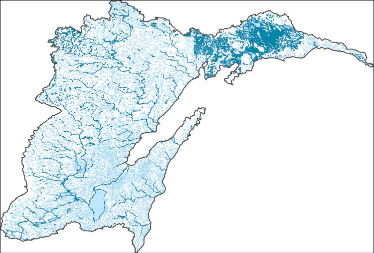
Disconnected lakes are lakes that are hydrologically isolated from flowlines and other waterbodies. Because water levels are not maintained by input or output, disconnected lakes are sensitive to soil conditions, changes in topography, precipitation, and temperature. The disconnected lakes dataset extracts all lakes not connected to flow lines from the USGS National Hydrography Dataset (NHD) in the Yukon River Lowlands - Kuskokwim Mountains - Lime Hills. This dataset provides the basis for the analysis of disconnected lakes as an Aquatic Coarse-Filter Conservation Element. A total of 9,400 sq km of disconnected lakes are documented in the study area. Because the National Hydrography Dataset was compiled from topographic...
The National Hydrography Dataset (NHD) and Watershed Boundary Dataset (WBD) are used to portray surface water on The National Map. The NHD represents the drainage network with features such as rivers, streams, canals, lakes, ponds, coastline, dams, and streamgages. The WBD represents drainage basins as enclosed areas in eight different size categories. Both datasets represent the real world at a nominal scale of 1:24,000-scale, which means that one inch of The National Map data equals 2,000 feet on the ground. To maintain mapping clarity not all water features are represented and those that are use a moderate level of detail. The NHD and WBD are digital vector datasets used by geographic information systems (GIS)....
Some of the NOS rasters intentionally do not align or have the same extent. These rasters were not snapped to a common raster per the authors' discretion. Please review selected rasters prior to use. These varying alignments are a result of the use of differing source data sets and all products derived from them. We recommend that users snap or align rasters as best suits their own projects. - Construction or development, especially oil and gas operations near deep connected lakes could increase sedimentation to lakes. Run-off from unpaved roads can result in sedimentation to lakes increasing turbidity and impacting water quality for aquatic organisms and human use. Oil and gas activities near streams that are connected...
Some of the NOS rasters intentionally do not align or have the same extent. These rasters were not snapped to a common raster per the authors' discretion. Please review selected rasters prior to use. These varying alignments are a result of the use of differing source data sets and all products derived from them. We recommend that users snap or align rasters as best suits their own projects. - Construction or development, especially oil and gas operations near deep connected lakes could increase sedimentation to lakes. Run-off from unpaved roads can result in sedimentation to lakes increasing turbidity and impacting water quality for aquatic organisms and human use. Oil and gas activities near streams that are connected...
The Mercury Deposition Network (MDN) is a national database of weekly concentrations of total mercury in precipitation and the seasonal and annual flux of total mercury in wet deposition. The data is used to develop information on spatial and seasonal trends in mercury deposited to surface waters, forested watersheds, and other sensitive receptors. The MDN is part of the National Atmospheric Deposition Project (NADP) Network. Analysis of precipitation samples for total- and methylmercury is performed by Frontier Geosciences, Inc., Seattle WA, USA. Frontier Geosciences provides the environmental sciences community with uncompromisingly high-quality contract research, project design and management, and analytical...

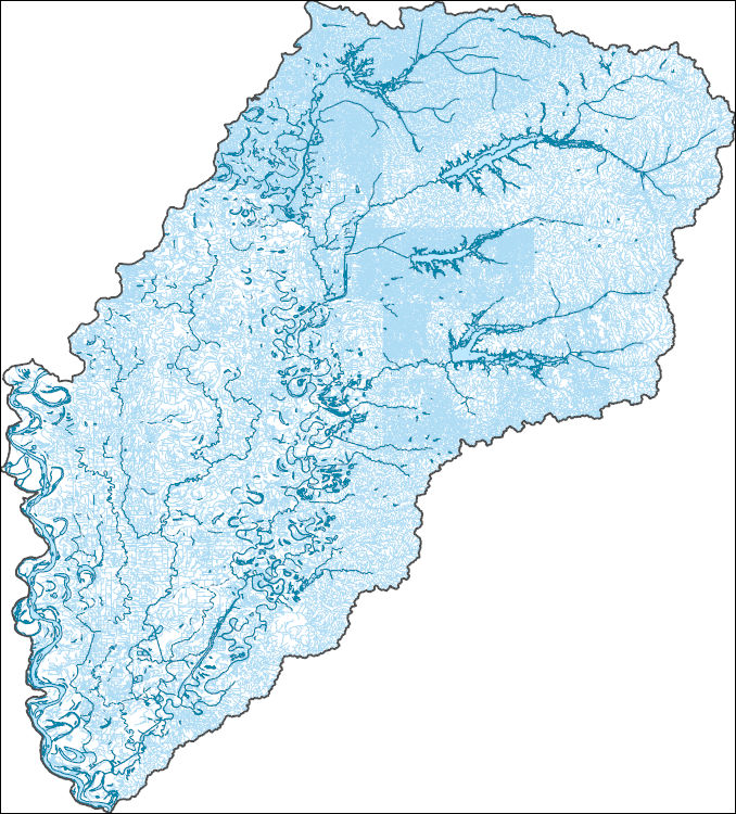
The High Resolution National Hydrography Dataset Plus (NHDPlus HR) is an integrated set of geospatial data layers, including the best available National Hydrography Dataset (NHD), the 10-meter 3D Elevation Program Digital Elevation Model (3DEP DEM), and the National Watershed Boundary Dataset (WBD). The NHDPlus HR combines the NHD, 3DEP DEMs, and WBD to create a stream network with linear referencing, feature naming, "value added attributes" (VAAs), elevation-derived catchments, and other features for hydrologic data analysis. The stream network with linear referencing is a system of data relationships applied to hydrographic systems so that one stream reach "flows" into another and "events" can be tied to and traced...

The High Resolution National Hydrography Dataset Plus (NHDPlus HR) is an integrated set of geospatial data layers, including the best available National Hydrography Dataset (NHD), the 10-meter 3D Elevation Program Digital Elevation Model (3DEP DEM), and the National Watershed Boundary Dataset (WBD). The NHDPlus HR combines the NHD, 3DEP DEMs, and WBD to create a stream network with linear referencing, feature naming, "value added attributes" (VAAs), elevation-derived catchments, and other features for hydrologic data analysis. The stream network with linear referencing is a system of data relationships applied to hydrographic systems so that one stream reach "flows" into another and "events" can be tied to and traced...
Scouring of streambed material surrounding bridge structures is a leading cause of bridge failure in the United States. Damages resulting from bridge failure oftentimes lead to financial burdens and loss of life. To date, there has been no comprehensive evaluation of the current (2016) effectiveness of the guidance or overall long-term performance of bridge-scour countermeasures provided in the Federal Highway Administration, Hydraulic Engineering Circular No. 23, Bridge Scour and Stream Instability Countermeasures. To that end, the U.S. Geological Survey, in cooperation with the Federal Highway Administration, obtained bathymetric, topographical, and other data at 20 of the surveyed sites across the United States...
Types: Citation,
Map Service,
OGC WFS Layer,
OGC WMS Layer,
OGC WMS Service;
Tags: ADCP,
ASCII,
Acoustic,
Bathymetry,
Beaverhead River,
These geospatial data were collected during the August 9 and September 14, 2016 topographic and hydrographic survey of the Musselshell River at S-300 at Ryegate, MT.

These geospatial data were collected during the August 10, 2016 topographic and hydrographic survey of the Judith River at MT-81 near Lewistown, MT.
|

|