Filters: Tags: Kern County (X)
844 results (17ms)|
Filters
Date Range
Extensions (Less) Types (Less)
Contacts (Less)
Categories (Less) Tag Types
|

These data were released prior to the October 1, 2016 effective date for the USGS’s policy dictating the review, approval, and release of scientific data as referenced in USGS Survey Manual Chapter 502.8 Fundamental Science Practices: Review and Approval of Scientific Data for Release. This digital dataset contains the percentage of coarse-grained deposits in wells in 15 meter increments and the percentage of coarse-grained deposits in texture model lattice points interpolated from the well data for the Central Valley. The texture model was used as input data for the hydraulic properties portion of the Central Valley Hydrologic Model (CVHM). The Central Valley encompasses an approximate 50,000 square-kilometer...

These data were released prior to the October 1, 2016 effective date for the USGS’s policy dictating the review, approval, and release of scientific data as referenced in USGS Survey Manual Chapter 502.8 Fundamental Science Practices: Review and Approval of Scientific Data for Release. This digital data set defines the lateral boundary and model domain of the area simulated by the transient ground-water flow model of the Death Valley regional ground-water flow system (DVRFS). The DVRFS transient ground-water flow model is the most recent in a number of regional-scale models developed by the U.S. Geological Survey (USGS) for the U.S. Department of Energy (DOE) to support investigations at the Nevada Test Site (NTS)...

These data were released prior to the October 1, 2016 effective date for the USGS’s policy dictating the review, approval, and release of scientific data as referenced in USGS Survey Manual Chapter 502.8 Fundamental Science Practices: Review and Approval of Scientific Data for Release. This digital dataset contains the compaction data for 24 extensometers used for observations in the Central Valley Hydrologic Model (CVHM). The Central Valley encompasses an approximate 50,000 square-kilometer region of California. The complex hydrologic system of the Central Valley is simulated using the USGS numerical modeling code MODFLOW-FMP (Schmid and others, 2006). This simulation is referred to here as the CVHM (Faunt, 2009)....

These data were released prior to the October 1, 2016 effective date for the USGS’s policy dictating the review, approval, and release of scientific data as referenced in USGS Survey Manual Chapter 502.8 Fundamental Science Practices: Review and Approval of Scientific Data for Release. This digital data set defines the hydraulic-head values in 16 model layers used to initiate the transient simulation of the Death Valley regional ground-water flow system (DVRFS) model. The area simulated by the DVRFS transient ground-water flow model is an approximately 45,000 square-kilometer region of southern Nevada and California. In order to reduce model execution time, hydraulic head values output from the steady-state simulation...

These data were released prior to the October 1, 2016 effective date for the USGS’s policy dictating the review, approval, and release of scientific data as referenced in USGS Survey Manual Chapter 502.8 Fundamental Science Practices: Review and Approval of Scientific Data for Release. This digital data set is a compilation of reference points representing surface-water features, ground-water levels, and topographic settings in Nevada that were used for the regional ground-water potential map by Bedinger and Harrill (2004). The regional ground-water-potential map was developed to assess potential interbasin flow in the Death Valley regional ground-water flow system (DVRFS), a 100,000-square-kilometer region of...

These data were released prior to the October 1, 2016 effective date for the USGS’s policy dictating the review, approval, and release of scientific data as referenced in USGS Survey Manual Chapter 502.8 Fundamental Science Practices: Review and Approval of Scientific Data for Release. This digital geospatial data set is a compilation of reference points representing wells deeper than 300 meters in Nevada that were used for the regional ground-water potential map by Bedinger and Harrill (2004). The regional ground-water-potential map was developed to assess potential interbasin flow in the Death Valley regional ground-water flow system (DVRFS), a 100,000 square-kilometer region of southern Nevada and California....

These data were released prior to the October 1, 2016 effective date for the USGS’s policy dictating the review, approval, and release of scientific data as referenced in USGS Survey Manual Chapter 502.8 Fundamental Science Practices: Review and Approval of Scientific Data for Release. This digital dataset describes the location of 21 extensometers used for observations of subsidence in the Central Valley Hydrologic Model (CVHM). The Central Valley encompasses an approximate 50,000 square- kilometer region of California. The complex hydrologic system of the Central Valley is simulated using the USGS numerical modeling code MODFLOW-FMP (Schmid and others, 2006). This simulation is referred to here as the CVHM (Faunt,...

These data were released prior to the October 1, 2016 effective date for the USGS’s policy dictating the review, approval, and release of scientific data as referenced in USGS Survey Manual Chapter 502.8 Fundamental Science Practices: Review and Approval of Scientific Data for Release. This digital data set defines the boundary of the hydrogeologic framework model (HFM) developed by IT Corporation (1996) for the U.S. Department of Energy Underground Test Area Phase I project. The boundary encompasses an approximate 53,000 square-kilometer region which is centered on the Nevada Test Site (NTS) and extends from Death Valley to east of the East Pahranagat Range, and from the Black Mountains to north of Penoyer and...

These data were released prior to the October 1, 2016 effective date for the USGS’s policy dictating the review, approval, and release of scientific data as referenced in USGS Survey Manual Chapter 502.8 Fundamental Science Practices: Review and Approval of Scientific Data for Release. This digital dataset defines the farm-process parameters used in the transient hydrologic model of the Central Valley flow system. The Central Valley encompasses an approximate 50,000 square-kilometer region of California. The complex hydrologic system of the Central Valley is simulated using the USGS numerical modeling code MODFLOW-FMP. This simluation is referred to here as the Central Valley Hydrologic Model (CVHM) (Faunt, 2009)....
This dataset contains a provisional release of field observations at sites of fault rupture and ground deformation features where quantitative displacement measurements were obtained. This release does not include associated photographs and some observations where there are outstanding questions about the measurements received; some duplicate observations may exist in this dataset. Photos and resolved measurement data are anticipated for a future release. This dataset consists of a comma-delimited ASCII text file where each line in the file represents an observation, suitable for importing into a spreadsheet, database or GIS application for visualization and analysis. These data are also summarized in a companion...
Categories: Data;
Types: Map Service,
OGC WFS Layer,
OGC WMS Layer,
OGC WMS Service;
Tags: California,
China Lake,
Indian Wells Valley,
Inyo County,
Kern County,
Airborne electromagnetic (AEM) and magnetic survey data were collected during October 2016 over a total distance of 262 line kilometers in the southeastern San Joaquin Valley near Cawelo, California. These data were collected in support of groundwater salinity mapping and hydrogeologic framework development as part of the U.S. Geological Survey California Oil, Gas, and Groundwater program and the California State Water Resources Control Board’s Oil and Gas Regional Monitoring Program. Data were acquired by SkyTEM ApS with the SkyTEM 312 time-domain helicopter-borne electromagnetic system together with a Geometrics G822A cesium vapor magnetometer. The survey was designed to cover the region hydrogeologically downgradient...
Categories: Data;
Types: Downloadable,
Map Service,
OGC WFS Layer,
OGC WMS Layer,
OGC WMS Service,
Shapefile;
Tags: CAWSC,
California,
California Water Science Center,
Cawelo,
GGGSC,
Airborne electromagnetic (AEM) and magnetic survey data were collected during October 2016 along 262 line kilometers in the southeastern San Joaquin Valley near Cawelo, California. These data were collected in support of groundwater salinity mapping and hydrogeologic framework development as part of the U.S. Geological Survey California Oil, Gas, and Groundwater program and the California State Water Resources Control Board’s Oil and Gas Regional Monitoring Program. Data were acquired by SkyTEM ApS with the SkyTEM 312 time-domain helicopter-borne electromagnetic system together with a Geometrics G822A cesium vapor magnetometer. The survey was flown at a nominal flight height of 35 m above terrain along block-style...
Categories: Data;
Types: Map Service,
OGC WFS Layer,
OGC WMS Layer,
OGC WMS Service;
Tags: CAWSC,
California,
California Water Science Center,
Cawelo,
GGGSC,
Airborne electromagnetic (AEM) and magnetic survey data were collected during October 2016 along 1,443 line kilometers in the southwestern San Joaquin Valley near Lost Hills, California. These data were collected in support of groundwater salinity mapping and hydrogeologic framework development as part of the U.S. Geological Survey California Oil, Gas, and Groundwater program and the California State Water Resources Control Board’s Program of Regional Monitoring of Water Quality in Areas of Oil and Gas Production. Data were acquired by SkyTEM ApS with the SkyTEM 312 time-domain helicopter-borne electromagnetic system together with a Geometrics G822A cesium vapor magnetometer. The survey was designed to cover the...
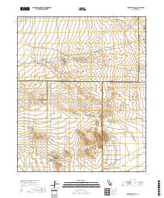
Layered geospatial PDF 7.5 Minute Quadrangle Map. Layers of geospatial data include orthoimagery, roads, grids, geographic names, elevation contours, hydrography, and other selected map features. This map is derived from GIS (geospatial information system) data. It represents a repackaging of GIS data in traditional map form, not creation of new information. The geospatial data in this map are from selected National Map data holdings and other government sources.
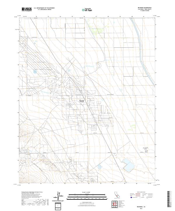
Layered geospatial PDF 7.5 Minute Quadrangle Map. Layers of geospatial data include orthoimagery, roads, grids, geographic names, elevation contours, hydrography, and other selected map features. This map is derived from GIS (geospatial information system) data. It represents a repackaging of GIS data in traditional map form, not creation of new information. The geospatial data in this map are from selected National Map data holdings and other government sources.
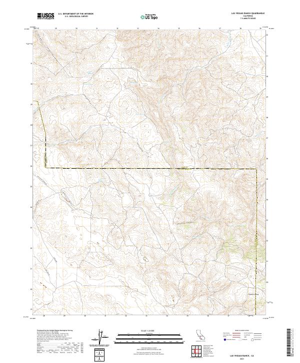
Layered geospatial PDF 7.5 Minute Quadrangle Map. Layers of geospatial data include orthoimagery, roads, grids, geographic names, elevation contours, hydrography, and other selected map features. This map is derived from GIS (geospatial information system) data. It represents a repackaging of GIS data in traditional map form, not creation of new information. The geospatial data in this map are from selected National Map data holdings and other government sources.
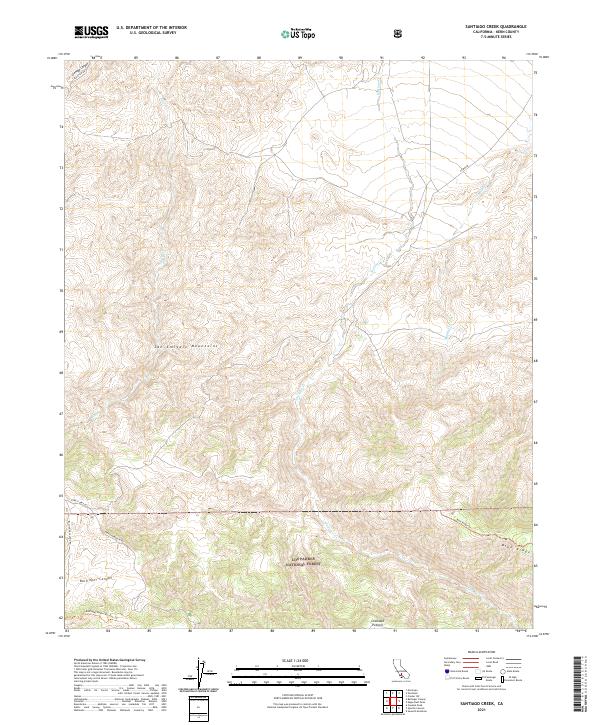
Layered geospatial PDF 7.5 Minute Quadrangle Map. Layers of geospatial data include orthoimagery, roads, grids, geographic names, elevation contours, hydrography, and other selected map features. This map is derived from GIS (geospatial information system) data. It represents a repackaging of GIS data in traditional map form, not creation of new information. The geospatial data in this map are from selected National Map data holdings and other government sources.
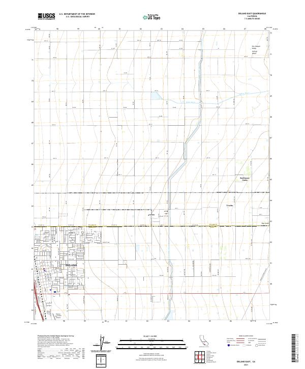
Layered geospatial PDF 7.5 Minute Quadrangle Map. Layers of geospatial data include orthoimagery, roads, grids, geographic names, elevation contours, hydrography, and other selected map features. This map is derived from GIS (geospatial information system) data. It represents a repackaging of GIS data in traditional map form, not creation of new information. The geospatial data in this map are from selected National Map data holdings and other government sources.
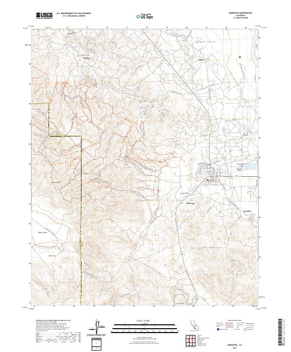
Layered geospatial PDF 7.5 Minute Quadrangle Map. Layers of geospatial data include orthoimagery, roads, grids, geographic names, elevation contours, hydrography, and other selected map features. This map is derived from GIS (geospatial information system) data. It represents a repackaging of GIS data in traditional map form, not creation of new information. The geospatial data in this map are from selected National Map data holdings and other government sources.
Layered geospatial PDF 7.5 Minute Quadrangle Map. Layers of geospatial data include orthoimagery, roads, grids, geographic names, elevation contours, hydrography, and other selected map features. This map is derived from GIS (geospatial information system) data. It represents a repackaging of GIS data in traditional map form, not creation of new information. The geospatial data in this map are from selected National Map data holdings and other government sources.
|

|
