Filters: Tags: MARLBOROUGH (X)
19 results (120ms)|
Filters
|

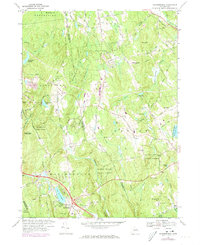
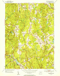
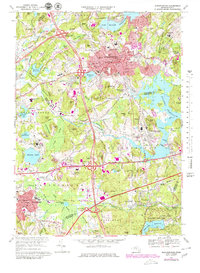
USGS Historical Quadrangle in GeoPDF.
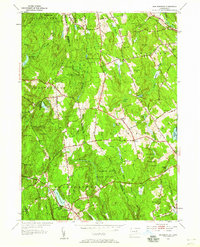
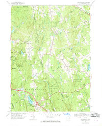
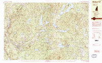
USGS Historical Quadrangle in GeoPDF.
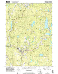
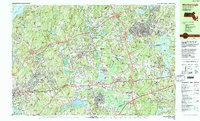
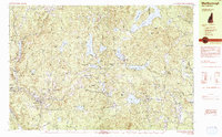
USGS Historical Quadrangle in GeoPDF.
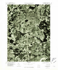
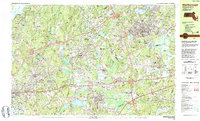
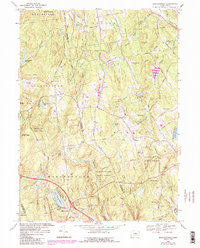
USGS Historical Quadrangle in GeoPDF.
USGS Historical Quadrangle in GeoPDF.
USGS Historical Quadrangle in GeoPDF.
USGS Historical Quadrangle in GeoPDF.
USGS Historical Quadrangle in GeoPDF.
USGS Historical Quadrangle in GeoPDF.
USGS Historical Quadrangle in GeoPDF.
USGS Historical Quadrangle in GeoPDF.
USGS Historical Quadrangle in GeoPDF.
USGS Historical Quadrangle in GeoPDF.
USGS Historical Quadrangle in GeoPDF.
USGS Historical Quadrangle in GeoPDF.
Streamflow and phosphorus concentrations were monitored in the Assabet River in central Massachusetts in order to evaluate concentrations and loads in the river before, during, and after changes in the amount of total phosphorus that was discharged to the river from three wastewater-treatment plants. At four locations the U.S. Geological Survey collected weekly flow-proportional, composite samples of water from the Assabet River for analysis of concentrations of total phosphorus and orthophosphate. Streamflow and concentration data were used to estimate total phosphorus and orthophosphate loads in the river and compare them with total phosphorus load outputs from three wastewater-treatment plants. Data were collected...
Categories: Data;
Types: Citation,
Map Service,
OGC WFS Layer,
OGC WMS Layer,
OGC WMS Service;
Tags: Assabet River,
Ben Smith Dam,
Hudson,
Hudson Pond Dam,
Marlborough,
USGS Historical Quadrangle in GeoPDF.

USGS Historical Quadrangle in GeoPDF.
USGS Historical Quadrangle in GeoPDF.
|

|
