Filters: Tags: Marthas Vineyard (X)
14 results (50ms)|
Filters
Date Range
Types Contacts
Categories Tag Types Tag Schemes |
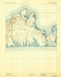
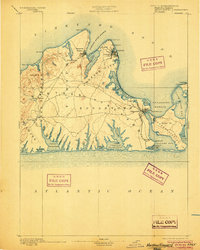
USGS Historical Quadrangle in GeoPDF.
Atlantic coast piping plover (Charadrius melodus) nest sites are typically found on low-lying beach and dune systems, which respond rapidly to coastal processes like sediment overwash, inlet formation, and island migration that are sensitive to climate-related changes in storminess and the rate of sea-level rise. Data were obtained to understand piping plover habitat distribution and use along their Atlantic Coast breeding range. A smartphone application called iPlover was developed to collect standardized data on habitat characteristics at piping plover nest locations. The application capitalized on a network of trained monitors that observe piping plovers throughout their U.S. Atlantic coast breeding range as...

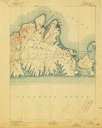
USGS Historical Quadrangle in GeoPDF.
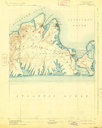
USGS Historical Quadrangle in GeoPDF.
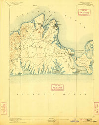
USGS Historical Quadrangle in GeoPDF.
USGS Historical Quadrangle in GeoPDF.

USGS Historical Quadrangle in GeoPDF.
Atlantic coast piping plover (Charadrius melodus) nest sites are typically found on low-lying beach and dune systems, which respond rapidly to coastal processes like sediment overwash, inlet formation, and island migration that are sensitive to climate-related changes in storminess and the rate of sea-level rise. Data were obtained to understand piping plover habitat distribution and use along their Atlantic Coast breeding range. A smartphone application called iPlover was developed to collect standardized data on habitat characteristics at piping plover nest locations. The application capitalized on a network of trained monitors that observe piping plovers throughout their U.S. Atlantic coast breeding range as...
USGS Historical Quadrangle in GeoPDF.

USGS Historical Quadrangle in GeoPDF.

USGS Historical Quadrangle in GeoPDF.
Atlantic coast piping plover (Charadrius melodus) nest sites are typically found on low-lying beach and dune systems, which respond rapidly to coastal processes like sediment overwash, inlet formation, and island migration that are sensitive to climate-related changes in storminess and the rate of sea-level rise. Data were obtained to understand piping plover habitat distribution and use along their Atlantic Coast breeding range. A smartphone application called iPlover was developed to collect standardized data on habitat characteristics at piping plover nest locations. The application capitalized on a network of trained monitors that observe piping plovers throughout their U.S. Atlantic coast breeding range as...
|

|
