Filters: Tags: Mineral County (X) > Date Range: {"choice":"year"} (X) > partyWithName: U.S. Geological Survey (X)
163 results (69ms)|
Filters
Date Types (for Date Range)
Types
Contacts
Categories Tag Types Tag Schemes |
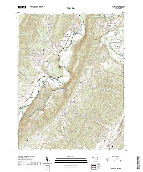
Layered geospatial PDF 7.5 Minute Quadrangle Map. Layers of geospatial data include orthoimagery, roads, grids, geographic names, elevation contours, hydrography, and other selected map features. This map is derived from GIS (geospatial information system) data. It represents a repackaging of GIS data in traditional map form, not creation of new information. The geospatial data in this map are from selected National Map data holdings and other government sources.
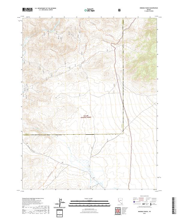
Layered geospatial PDF 7.5 Minute Quadrangle Map. Layers of geospatial data include orthoimagery, roads, grids, geographic names, elevation contours, hydrography, and other selected map features. This map is derived from GIS (geospatial information system) data. It represents a repackaging of GIS data in traditional map form, not creation of new information. The geospatial data in this map are from selected National Map data holdings and other government sources.
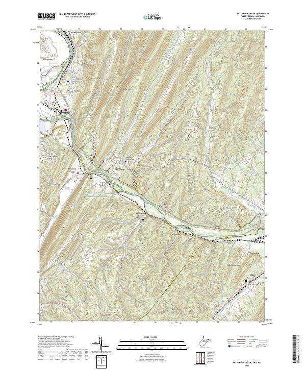
Layered geospatial PDF 7.5 Minute Quadrangle Map. Layers of geospatial data include orthoimagery, roads, grids, geographic names, elevation contours, hydrography, and other selected map features. This map is derived from GIS (geospatial information system) data. It represents a repackaging of GIS data in traditional map form, not creation of new information. The geospatial data in this map are from selected National Map data holdings and other government sources.

These data were released prior to the October 1, 2016 effective date for the USGS’s policy dictating the review, approval, and release of scientific data as referenced in USGS Survey Manual Chapter 502.8 Fundamental Science Practices: Review and Approval of Scientific Data for Release. This digital data set defines the lateral boundary of the area simulated by the steady-state ground-water flow model of the Death Valley regional ground-water flow system (DVRFS) by D'Agnese and others (2002). The DVRFS flow model was developed by the U.S. Geological Survey (USGS) for the U.S. Department of Energy (DOE) to support investigations at the Nevada Test Site (NTS) and at Yucca Mountain, Nevada. The model area is an approximately...
Categories: pre-SM502.8;
Tags: Amargosa Desert,
Ash Meadows,
California,
California Valley,
Chicago Valley,

These data were released prior to the October 1, 2016 effective date for the USGS’s policy dictating the review, approval, and release of scientific data as referenced in USGS Survey Manual Chapter 502.8 Fundamental Science Practices: Review and Approval of Scientific Data for Release. This digital data set is a historical definition of the extent (approximately 42,600 square-kilometers) and lateral boundary of the Death Valley regional ground-water flow system (modified from Harrill and others, 1988; and Harrill and Prudic, 1998). Harrill and others (1988) developed boundaries for the major ground-water flow systems in the Great Basin region of Nevada, Utah, and adjacent states using the boundaries of hydrographic...
Categories: pre-SM502.8;
Tags: Amargosa Desert,
Ash Meadows,
California,
California Valley,
Chicago Valley,

These data were released prior to the October 1, 2016 effective date for the USGS’s policy dictating the review, approval, and release of scientific data as referenced in USGS Survey Manual Chapter 502.8 Fundamental Science Practices: Review and Approval of Scientific Data for Release. This digital data set defines the flow-system boundary encompassing the regional ground-water flow model by D'Agnese and others (1997). The boundary encompasses an approximately 50,000 square-kilometer region of southern Nevada and California, defined as the Death Valley region by Bedinger and others (1989; see Source Citation Information). The flow-system boundary is mostly a no-flow boundary resulting from physical barriers or...
Categories: pre-SM502.8;
Tags: Amargosa Desert,
Ash Meadows,
California,
California Valley,
Chicago Valley,

These data were released prior to the October 1, 2016 effective date for the USGS’s policy dictating the review, approval, and release of scientific data as referenced in USGS Survey Manual Chapter 502.8 Fundamental Science Practices: Review and Approval of Scientific Data for Release. This digital data set defines the boundary of the steady-state ground-water flow model built by IT Corporation (1996). The regional, 20-layer ground-water flow model was developed for the Underground Test Area (UGTA) Phase I project to simulate the Nevada Test Site and surrounding areas. The model was used for estimating the amount of water moving through the ground-water system, predicting the movement of contaminants, evaluating...
Categories: pre-SM502.8;
Tags: Amargosa Desert,
Ash Meadows,
California,
California Valley,
Chicago Valley,

These data were released prior to the October 1, 2016 effective date for the USGS’s policy dictating the review, approval, and release of scientific data as referenced in USGS Survey Manual Chapter 502.8 Fundamental Science Practices: Review and Approval of Scientific Data for Release. This digital data set represents the constant head-boundary used to simulate ground-water inflow or outflow at the lateral boundary of the Death Valley regional ground-water flow system (DVRFS) transient model. The area simulated by the DVRFS transient ground-water flow model is an approximately 45,000 square-kilometer region of southern Nevada and California. The hydraulic heads imposed at the constant-head cells were interpolated...
Categories: pre-SM502.8;
Tags: Amargosa Desert,
Ash Meadows,
California,
California Valley,
Chicago Valley,

These data were released prior to the October 1, 2016 effective date for the USGS’s policy dictating the review, approval, and release of scientific data as referenced in USGS Survey Manual Chapter 502.8 Fundamental Science Practices: Review and Approval of Scientific Data for Release. A digital three-dimensional (3D) hydrogeologic framework model (HFM) represents the geometry and extent of hydrogeologic units (HGUs) and major structures in the Death Valley regional ground-water flow system (DVRFS). The HFM altitude data represent the geometry of the HFM by defining the top of the 27 HGUs in an approximately 45,000 square-kilometer region of southern Nevada and California (see "Larger Work Citation", Chapter E)....
Categories: pre-SM502.8;
Tags: Amargosa Desert,
Ash Meadows,
California,
California Valley,
Chicago Valley,

These data were released prior to the October 1, 2016 effective date for the USGS’s policy dictating the review, approval, and release of scientific data as referenced in USGS Survey Manual Chapter 502.8 Fundamental Science Practices: Review and Approval of Scientific Data for Release. This digital dataset represents the surface hydrogeology of an approximately 45,000 square-kilometer area of the Death Valley regional ground-water flow system (DVRFS) in southern Nevada and California. Faunt and others (2004) constructed the map by merging mapped lithostratigraphic units into 27 hydrogeologic units (HGUs). The HGUs represent rocks and deposits of considerable lateral extent and distinct hydrologic properties. The...
Categories: pre-SM502.8;
Tags: Amargosa Desert,
Ash Meadows,
California,
California Valley,
Chicago Valley,

These data were released prior to the October 1, 2016 effective date for the USGS’s policy dictating the review, approval, and release of scientific data as referenced in USGS Survey Manual Chapter 502.8 Fundamental Science Practices: Review and Approval of Scientific Data for Release. This digital data set defines the subregions of the transient ground-water flow model of the Death Valley regional ground-water flow system (DVRFS). Subregions are used to more readily describe and evaluate the source, occurrence, and movement of ground water within and between the smaller areas of the DVRFS, which is an approximately 45,000 square- kilometer region of southern Nevada and California. The subregions, first described...
Categories: pre-SM502.8;
Tags: Amargosa Desert,
Ash Meadows,
California,
California Valley,
Chicago Valley,
Layered geospatial PDF 7.5 Minute Quadrangle Map. Layers of geospatial data include orthoimagery, roads, grids, geographic names, elevation contours, hydrography, and other selected map features. This map is derived from GIS (geospatial information system) data. It represents a repackaging of GIS data in traditional map form, not creation of new information. The geospatial data in this map are from selected National Map data holdings and other government sources.
Layered geospatial PDF 7.5 Minute Quadrangle Map. Layers of geospatial data include orthoimagery, roads, grids, geographic names, elevation contours, hydrography, and other selected map features. This map is derived from GIS (geospatial information system) data. It represents a repackaging of GIS data in traditional map form, not creation of new information. The geospatial data in this map are from selected National Map data holdings and other government sources.
Layered geospatial PDF 7.5 Minute Quadrangle Map. Layers of geospatial data include orthoimagery, roads, grids, geographic names, elevation contours, hydrography, and other selected map features. This map is derived from GIS (geospatial information system) data. It represents a repackaging of GIS data in traditional map form, not creation of new information. The geospatial data in this map are from selected National Map data holdings and other government sources.
Layered geospatial PDF 7.5 Minute Quadrangle Map. Layers of geospatial data include orthoimagery, roads, grids, geographic names, elevation contours, hydrography, and other selected map features. This map is derived from GIS (geospatial information system) data. It represents a repackaging of GIS data in traditional map form, not creation of new information. The geospatial data in this map are from selected National Map data holdings and other government sources.

These data were released prior to the October 1, 2016 effective date for the USGS’s policy dictating the review, approval, and release of scientific data as referenced in USGS Survey Manual Chapter 502.8 Fundamental Science Practices: Review and Approval of Scientific Data for Release. This digital data set represents ground-water discharged from the Death Valley regional ground-water flow system (DVRFS) through pumped wells. Pumping from wells in the transient flow model of the DVRFS is simulated using the Multi-Node Well (MNW) package for MODFLOW-2000 (Halford and Hanson, 2002). In the DVRFS region wells typically are completed with screens that span multiple aquifers and thus multiple layers in the model. The...
Categories: pre-SM502.8;
Tags: Amargosa Desert,
Ash Meadows,
California Valley,
Chicago Valley,
China Ranch,

These data were released prior to the October 1, 2016 effective date for the USGS’s policy dictating the review, approval, and release of scientific data as referenced in USGS Survey Manual Chapter 502.8 Fundamental Science Practices: Review and Approval of Scientific Data for Release. This digital geospatial data set is a compilation of reference points representing springs in Nevada that were used for the regional ground-water potential map by Bedinger and Harrill (2004). The regional ground-water potential map was developed to assess potential interbasin flow in the Death Valley regional ground-water flow system (DVRFS), a 100,000 square-kilometer region of southern Nevada and California. To obtain an adequate...
Categories: pre-SM502.8;
Tags: Amargosa Desert,
Ash Meadows,
California,
California Valley,
Chicago Valley,

These data were released prior to the October 1, 2016 effective date for the USGS’s policy dictating the review, approval, and release of scientific data as referenced in USGS Survey Manual Chapter 502.8 Fundamental Science Practices: Review and Approval of Scientific Data for Release. This digital dataset defines the surface traces of regional geologic structures designated as potential ground-water flow barriers in an approximately 45,000 square-kilometer area of the Death Valley regional ground-water flow system (DVRFS) in southern Nevada and California. Most geologic structures representing potential flow barriers were faults that were identified on the basis of length, offset, type of slip, orientation with...
Categories: pre-SM502.8;
Tags: Amargosa Desert,
Ash Meadows,
California,
California Valley,
Chicago Valley,

These data were released prior to the October 1, 2016 effective date for the USGS’s policy dictating the review, approval, and release of scientific data as referenced in USGS Survey Manual Chapter 502.8 Fundamental Science Practices: Review and Approval of Scientific Data for Release. These simulated potentiometric surface contours represent prepumping (or steady-state) conditions for model layer 16 of the Death Valley regional ground-water flow system (DVRFS), an approximately 45,000 square- kilometer region of southern Nevada and California. The numerical ground-water flow model simulates prepumping conditions before 1913 and transient-flow conditions from 1913 to 1998 after pumping of ground water began. The...
Categories: pre-SM502.8;
Tags: Amargosa Desert,
Ash Meadows,
California,
California Valley,
Chicago Valley,

These data were released prior to the October 1, 2016 effective date for the USGS’s policy dictating the review, approval, and release of scientific data as referenced in USGS Survey Manual Chapter 502.8 Fundamental Science Practices: Review and Approval of Scientific Data for Release. This digital data set defines the hydraulic-head values in 16 model layers used to initiate the transient simulation of the Death Valley regional ground-water flow system (DVRFS) model. The area simulated by the DVRFS transient ground-water flow model is an approximately 45,000 square-kilometer region of southern Nevada and California. In order to reduce model execution time, hydraulic head values output from the steady-state simulation...
Categories: pre-SM502.8;
Tags: Amargosa Desert,
Ash Meadows,
California,
California Valley,
Chicago Valley,
|

|
