Filters: Tags: Mohave County (X)
1,758 results (138ms)|
Filters
Date Range
Types Contacts
Categories Tag Types
|
ADMMR map collection: Cedar Valley Mines, Map of Claims; 1 in. to 600 feet; 18 x 29 in.
Categories: Data;
Tags: Arizona,
Arnold,
Cedar Valley Mines,
Cedar Valley metallic mineral dist.,
Dataset,
ADMMR map collection: Copper World Mine, 350 Level; 1 in. to 40 feet; 37 x 30 in.
ADMMR map collection: Tin Cup Property, 3300 Bench Plan; 1 in. to 40 feet; 36 x 25 in.
ADMMR map collection: El Oro Site Plan; 51 x 27 in.
Categories: Data;
Tags: Antimony,
Arizona,
Blossom,
Cerbat Mts. physiographic area,
Chloride - 7.5 Min,
ADMMR map collection: Samoa Little Boy Plat; 1 in. to 200 feet; 16 x 11 in.
ADMMR map collection: Artillery Peak Manganese Analysis of Special Composite Samples; 1 in. to 100 feet; 15 x 11 in.
Categories: Data;
Tags: Arizona,
Artillery Mtn.,
Artillery Mts. physiographic area,
Artillery Peak,
Artillery Peak - 15 Min,
ADMMR map collection: Artillery Peak Manganese Deposits Vertical Cross Sections; 1 in. to 100 feet; 37 x 24 in.
Categories: Data;
Tags: 1940s,
Arizona,
Artillery Mtn.,
Artillery Mts. physiographic area,
Artillery Peak,
ADMMR map collection: Emerald Isle Mine Assay Map Sheet Number 7; 38 x 12 in.
ADMMR map collection: Plan of the William H. Meals Group Girard Mining Company Property; 1 in. to 300 feet; 16 x 9 in.
Heinrichs Geoexploration Co. Maps: Boriana, Magnetic Profiles ; 1 in. to 400 feet; 26 x 42 in.
Heinrichs Geoexploration Co. Maps: Four Buttes Area, Vertical Intensity Magnetic Profiles; 1 in. to 500 feet; 21 x 52 in.
Heinrichs Geoexploration Co. Maps: Portland Mine Drill Hole Location Map; 1 in. to 40 feet; 25 x 21 in.
Heinrichs Geoexploration Co. Maps: Arabian Project, 100 Foot Level Workings, Map 100-1; 1 in. to 50 feet; 34 x 22 in.
Heinrichs Geoexploration Co. Maps: Badger Area Work Sheet; 1 in. to 500 feet; 20 x 22 in.
ADMMR map collection: Maggie, Rudy Claim Group Surface Map; 1 in. to 100 feet; 36 x 24 in.
Categories: Data;
Tags: 1950s,
Arizona,
Artillery Mts. physiographic area,
Artillery Peak - 15 Min,
Artillery metallic mineral dist.,
ADMMR map collection: Detrital Wash, Mohave Co., Arizona, Isopach (From 1st Order SBG); 1 in. to 2640 feet; 28 x 16 in.
ADMMR map collection: Johnny Bull and Silver Knight Claims Values Cut in Hole Number 4; 1 in. to 50 feet; 31 x 18 in.
Categories: Data;
Tags: 1940s,
Arizona,
Brunswick Group,
Calcium, Calcite,
Cerbat Mts. physiographic area,
Heinrichs Geoexploration Co. Maps: Bullhead City-Kingman Highway Topographic Map; 1 in. to 50 feet; 22 x 45 in.
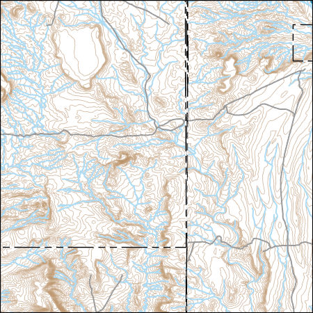
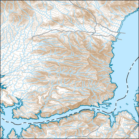
USGS Topo Map Vector Data (Vector) 72459 Mesquite NE, Nevada 20211118 for 7.5 x 7.5 minute Shapefile
Layers of geospatial data include contours, boundaries, land cover, hydrography, roads, transportation, geographic names, structures, and other selected map features.
Layers of geospatial data include contours, boundaries, land cover, hydrography, roads, transportation, geographic names, structures, and other selected map features.
|

|
