Filters: Tags: Point Pleasant (X)
21 results (299ms)|
Filters
Date Range
Types Contacts
Tag Types Tag Schemes |
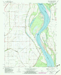
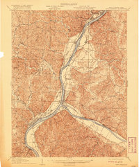
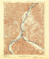
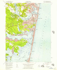
USGS Historical Quadrangle in GeoPDF.
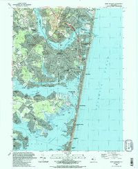
Water quality in the Barnegat Bay estuary along the New Jersey coast is the focus of a multidisciplinary research project begun in 2011 by the U.S. Geological Survey (USGS) in cooperation with the New Jersey Department of Environmental Protection. This narrow estuary is the drainage for the Barnegat Bay watershed and flushed by just three inlets connecting it to the Atlantic Ocean, is experiencing degraded water quality, algal blooms, loss of seagrass, and increases in oxygen-depletion events. The scale of the estuary and the scope of the problems within it required a regional approach to understand and model water circulation within the bay and adjacent ocean. A continuous elevation surface (terrain model) integrating...
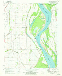
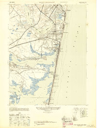
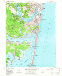
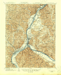
USGS Historical Quadrangle in GeoPDF.
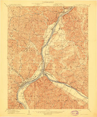
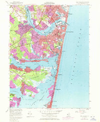
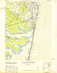
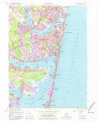
USGS Historical Quadrangle in GeoPDF.

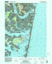
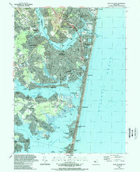
USGS Historical Quadrangle in GeoPDF.
USGS Historical Quadrangle in GeoPDF.

USGS Historical Quadrangle in GeoPDF.
USGS Historical Quadrangle in GeoPDF.
USGS Historical Quadrangle in GeoPDF.
USGS Historical Quadrangle in GeoPDF.
USGS Historical Quadrangle in GeoPDF.
USGS Historical Quadrangle in GeoPDF.
USGS Historical Quadrangle in GeoPDF.
USGS Historical Quadrangle in GeoPDF.
USGS Historical Quadrangle in GeoPDF.
Water quality in the Barnegat Bay estuary along the New Jersey coast is the focus of a multidisciplinary research project begun in 2011 by the U.S. Geological Survey (USGS) in cooperation with the New Jersey Department of Environmental Protection. This narrow estuary is the drainage for the Barnegat Bay watershed and flushed by just three inlets connecting it to the Atlantic Ocean, is experiencing degraded water quality, algal blooms, loss of seagrass, and increases in oxygen-depletion events. The scale of the estuary and the scope of the problems within it required a regional approach to understand and model water circulation within the bay and adjacent ocean. A continuous elevation surface (terrain model) integrating...
Types: Map Service,
OGC WFS Layer,
OGC WMS Layer,
OGC WMS Service;
Tags: Barnegat Bay,
Barnegat Inlet,
Bathymetry,
Beach Haven,
EAARL-B,
Water quality in the Barnegat Bay estuary along the New Jersey coast is the focus of a multidisciplinary research project begun in 2011 by the U.S. Geological Survey (USGS) in cooperation with the New Jersey Department of Environmental Protection. This narrow estuary is the drainage for the Barnegat Bay watershed and flushed by just three inlets connecting it to the Atlantic Ocean, is experiencing degraded water quality, algal blooms, loss of seagrass, and increases in oxygen-depletion events. The scale of the estuary and the scope of the problems within it required a regional approach to understand and model water circulation within the bay and adjacent ocean. A continuous elevation surface (terrain model) integrating...
USGS Historical Quadrangle in GeoPDF.
USGS Historical Quadrangle in GeoPDF.
USGS Historical Quadrangle in GeoPDF.
|

|
