Filters: Tags: Rock River, MI (X)
5 results (16ms)|
Filters
Date Range
Types (Less) Contacts (Less)
Categories (Less) Tag Types Tag Schemes
|

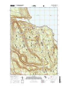
Layered GeoPDF 7.5 Minute Quadrangle Map. Layers of geospatial data include orthoimagery, roads, grids, geographic names, elevation contours, hydrography, and other selected map features.
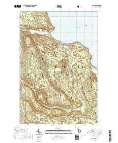
Layered geospatial PDF 7.5 Minute Quadrangle Map. Layers of geospatial data include orthoimagery, roads, grids, geographic names, elevation contours, hydrography, and other selected map features. This map is derived from GIS (geospatial information system) data. It represents a repackaging of GIS data in traditional map form, not creation of new information. The geospatial data in this map are from selected National Map data holdings and other government sources.
The data set is six separate csv files. Four of which contain the quantity of DNA copy numbers and fluor used to analyze the DNA quantities collected from water samples from four separate portions of the study (adult SL field, adult SL lab, larval SL field, larval SL lab) and need to be in their own csv file. Also included is a csv with adult SL trapping data, a csv for larval SL shocking data, and a csv with the volume that was filtered for our DNA extractions.
Categories: Data;
Types: Citation;
Tags: Black River, MI,
Canada,
Great Lakes,
Great Lakes,
Hammond Bay Biological Station,
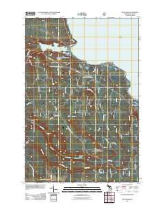
Layered GeoPDF 7.5 Minute Quadrangle Map. Layers of geospatial data include orthoimagery, roads, grids, geographic names, elevation contours, hydrography, and other selected map features.
Layered geospatial PDF Map. Layers of geospatial data include orthoimagery, roads, grids, geographic names, elevation contours, hydrography, and other selected map features.
|

|
