Filters: Tags: San Bernardino County (X) > Date Range: {"choice":"year"} (X)
104 results (71ms)|
Filters
Date Types (for Date Range)
Types Contacts
Categories Tag Types Tag Schemes |

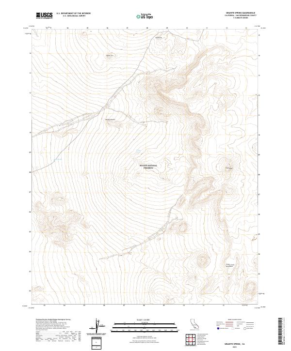
Layered geospatial PDF 7.5 Minute Quadrangle Map. Layers of geospatial data include orthoimagery, roads, grids, geographic names, elevation contours, hydrography, and other selected map features. This map is derived from GIS (geospatial information system) data. It represents a repackaging of GIS data in traditional map form, not creation of new information. The geospatial data in this map are from selected National Map data holdings and other government sources.
This data release supports U.S. Geological Survey Scientific Investigations Report 2023-5106, Groundwater Discharge by Evapotranspiration from the Amargosa Wild and Scenic River and Contributing Areas, Inyo and San Bernardino Counties, California. Geospatial datasets presented are two polygon shapefiles representing the groundwater discharge areas and evapotranspiration units for the Amargosa Wild and Scenic River and contributing areas, and a raster dataset representing the vegetation index corresponding to the vegetated evapotranspiration unit.
The U.S. Geological Survey collected groundwater samples from 49 wells used for domestic and small system drinking water supplies and 10 monitoring wells in San Bernardino County, California in 2018. The wells were sampled for the Mojave Basin (MOBS) Shallow Aquifer Study Unit of the California State Water Resources Control Board Groundwater Ambient Monitoring and Assessment (GAMA) Program Priority Basin Project’s assessment of the quality of groundwater resources used for domestic and small system drinking water supplies. Domestic and small-system wells commonly are screened at shallower depths than public-supply wells. The MOBS study unit covered the Upper, Middle, and Lower Mojave River groundwater basins, the...
Categories: Data;
Tags: Environment,
GAMA,
Groundwater,
Groundwater Ambient Monitoring and Assessment Program,
Mojave Desert,
This dataset provides geochronologic, geochemical, and isotopic data for selected igneous rock samples collected in the Lane Mountain area about 20 kilometers northeast of Barstow, California. Uranium-lead (U-Pb) zircon geochronologic and whole-rock geochemical data were obtained for 62 samples of which 28 are from Permian to Triassic plutonic rocks and dikes, 24 are from Late Jurassic plutonic rocks, 6 are from Late Cretaceous plutonic rocks and dikes, and 4 are from Miocene volcanic rocks, Rubidium-strontium (Rb-Sr) isotopic data were obtained for 8 of the Permian to Triassic samples, 9 of the Late Jurassic samples, and 4 of the Late Cretaceous samples. Oxygen isotope data were obtained for 2 Permian to Triassic...
|

|