Filters: Tags: Streamflow (X)
1,118 results (135ms)|
Filters
|

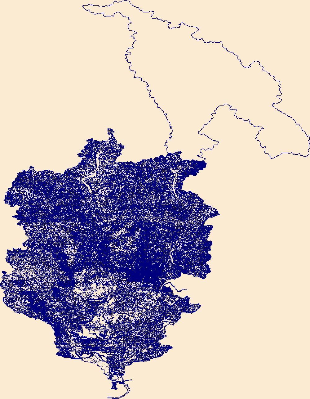
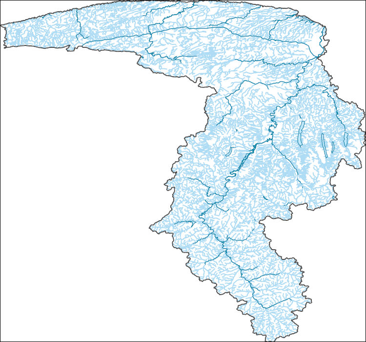
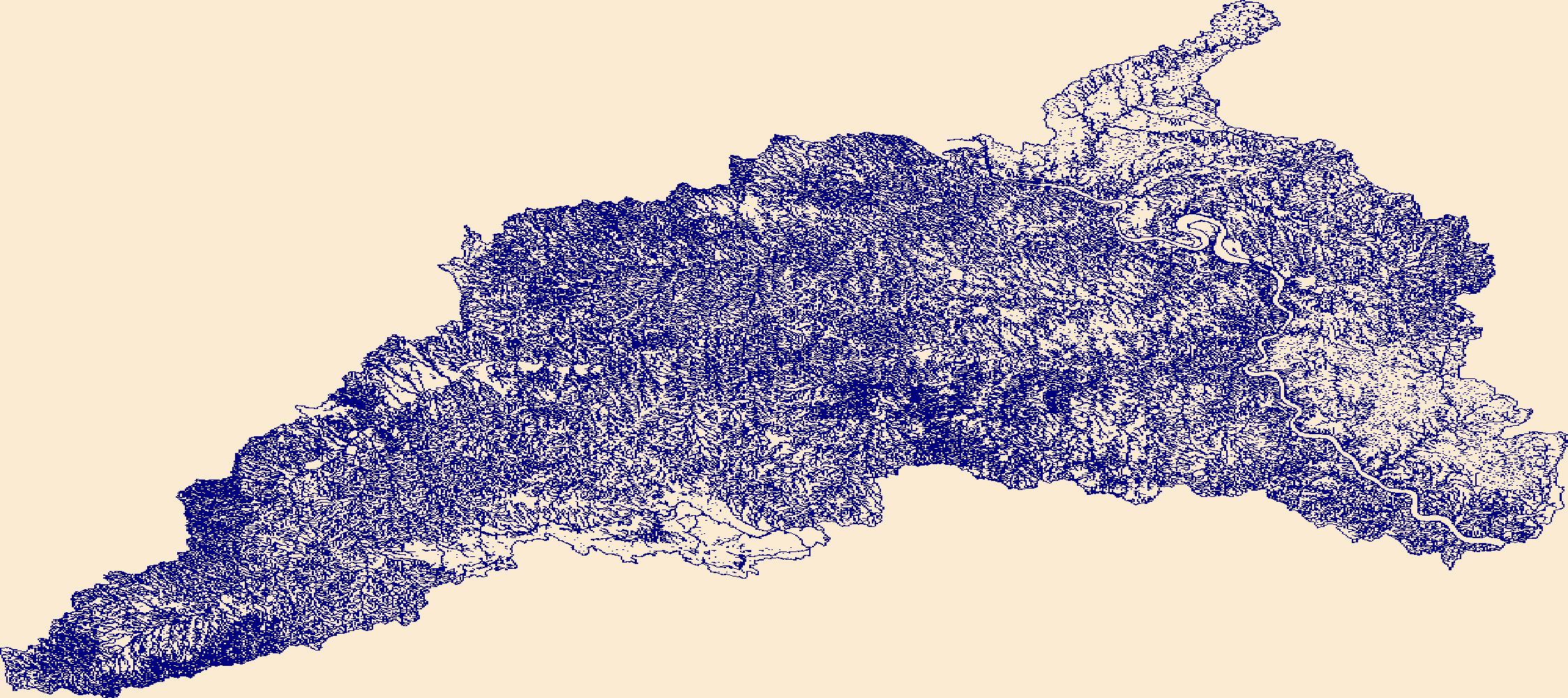
The High Resolution National Hydrography Dataset Plus (NHDPlus HR) is an integrated set of geospatial data layers, including the best available National Hydrography Dataset (NHD), the 10-meter 3D Elevation Program Digital Elevation Model (3DEP DEM), and the National Watershed Boundary Dataset (WBD). The NHDPlus HR combines the NHD, 3DEP DEMs, and WBD to create a stream network with linear referencing, feature naming, "value added attributes" (VAAs), elevation-derived catchments, and other features for hydrologic data analysis. The stream network with linear referencing is a system of data relationships applied to hydrographic systems so that one stream reach "flows" into another and "events" can be tied to and traced...

The High Resolution National Hydrography Dataset Plus (NHDPlus HR) is an integrated set of geospatial data layers, including the best available National Hydrography Dataset (NHD), the 10-meter 3D Elevation Program Digital Elevation Model (3DEP DEM), and the National Watershed Boundary Dataset (WBD). The NHDPlus HR combines the NHD, 3DEP DEMs, and WBD to create a stream network with linear referencing, feature naming, "value added attributes" (VAAs), elevation-derived catchments, and other features for hydrologic data analysis. The stream network with linear referencing is a system of data relationships applied to hydrographic systems so that one stream reach "flows" into another and "events" can be tied to and traced...

The High Resolution National Hydrography Dataset Plus (NHDPlus HR) is an integrated set of geospatial data layers, including the best available National Hydrography Dataset (NHD), the 10-meter 3D Elevation Program Digital Elevation Model (3DEP DEM), and the National Watershed Boundary Dataset (WBD). The NHDPlus HR combines the NHD, 3DEP DEMs, and WBD to create a stream network with linear referencing, feature naming, "value added attributes" (VAAs), elevation-derived catchments, and other features for hydrologic data analysis. The stream network with linear referencing is a system of data relationships applied to hydrographic systems so that one stream reach "flows" into another and "events" can be tied to and traced...

The High Resolution National Hydrography Dataset Plus (NHDPlus HR) is an integrated set of geospatial data layers, including the best available National Hydrography Dataset (NHD), the 10-meter 3D Elevation Program Digital Elevation Model (3DEP DEM), and the National Watershed Boundary Dataset (WBD). The NHDPlus HR combines the NHD, 3DEP DEMs, and WBD to create a stream network with linear referencing, feature naming, "value added attributes" (VAAs), elevation-derived catchments, and other features for hydrologic data analysis. The stream network with linear referencing is a system of data relationships applied to hydrographic systems so that one stream reach "flows" into another and "events" can be tied to and traced...

The High Resolution National Hydrography Dataset Plus (NHDPlus HR) is an integrated set of geospatial data layers, including the best available National Hydrography Dataset (NHD), the 10-meter 3D Elevation Program Digital Elevation Model (3DEP DEM), and the National Watershed Boundary Dataset (WBD). The NHDPlus HR combines the NHD, 3DEP DEMs, and WBD to create a stream network with linear referencing, feature naming, "value added attributes" (VAAs), elevation-derived catchments, and other features for hydrologic data analysis. The stream network with linear referencing is a system of data relationships applied to hydrographic systems so that one stream reach "flows" into another and "events" can be tied to and traced...

The High Resolution National Hydrography Dataset Plus (NHDPlus HR) is an integrated set of geospatial data layers, including the best available National Hydrography Dataset (NHD), the 10-meter 3D Elevation Program Digital Elevation Model (3DEP DEM), and the National Watershed Boundary Dataset (WBD). The NHDPlus HR combines the NHD, 3DEP DEMs, and WBD to create a stream network with linear referencing, feature naming, "value added attributes" (VAAs), elevation-derived catchments, and other features for hydrologic data analysis. The stream network with linear referencing is a system of data relationships applied to hydrographic systems so that one stream reach "flows" into another and "events" can be tied to and traced...

The High Resolution National Hydrography Dataset Plus (NHDPlus HR) is an integrated set of geospatial data layers, including the best available National Hydrography Dataset (NHD), the 10-meter 3D Elevation Program Digital Elevation Model (3DEP DEM), and the National Watershed Boundary Dataset (WBD). The NHDPlus HR combines the NHD, 3DEP DEMs, and WBD to create a stream network with linear referencing, feature naming, "value added attributes" (VAAs), elevation-derived catchments, and other features for hydrologic data analysis. The stream network with linear referencing is a system of data relationships applied to hydrographic systems so that one stream reach "flows" into another and "events" can be tied to and traced...
This point shapefile represents 38 terrestrial laser scanner (TLS) survey scan locations collected by single-base real-time kinematic (RTK) global navigation satellite system (GNSS) surveys in Grapevine Canyon near Scotty's Castle, Death Valley National Park, from July 12-14, 2016. Data were collected by two Topcon GR-3 GNSS receivers at one-second intervals for three minutes for each location.
This polygon shapefile represents estimated flood-inundation areas in Grapevine Canyon near Scotty's Castle, Death Valley National Park. Estimates of the 4, 2, 1, 0.5, and 0.2 percent annual exceedance probability (AEP) flood streamflows (previously known as the 25, 50, 100, 250, and 500-year floods) were computed from regional flood regression equations. The estimated flood streamflows were used with one-dimensional hydraulic models to compute water surface elevations that were mapped on a digital terrain model of the study area. Those locations where the water surface was higher than the land surface were defined as inundated. The inundation polygons are named by AEP flow (4, 2, 1, 0.5, 0.2-percent) and geometry...
This U.S. Geological Survey data release consists of a geospatial dataset containing information on estimated streamflow extent, stream velocity, and stream depth at Soldier Meadows Black Rock Desert - High Rock Canyon Emigrant Trails National Conservation Area, Nevada, and the data acquired and processed to support the estimation of those attributes. Supporting datasets include topographic survey data collected using a global navigation satellite system (GNSS) in Soldier Meadows from August 13-15, 2019, and an archive of the two-dimensional hydraulic model used to generate a polygon dataset for streamflow extent as well as raster datasets for stream velocity, and stream depth. The data release includes: 1) a polygon...
A digital elevation model represented by a triangulated irregular network (TIN) was developed for proposed channel restoration at Soldier Meadows, Black Rock Desert - High Rock Canyon Emigrant Trails National Conservation Area, Nevada. The TIN was derived from lidar (light imaging, detection, and ranging) of quality level 1 collected in April 2018 by Quantum Spatial (Quantum Spatial Inc, 2018) for the Bureau of Land Management. The DEM also includes points surveyed in August 13-16, 2019, using a real-time kinematic (RTK) global navigation satellite system (GNSS). The lidar data are not included in this USGS publication due to BLM data-release restrictions for this dataset. Contact Bureau of Land Management, Nevada,...
This point shapefile contains information on 476 locations surveyed using a single-base real-time kinematic (RTK) global navigation satellite system (GNSS) in Soldier Meadows, Black Rock Desert - High Rock Canyon Emigrant Trails National Conservation Area, Nevada, August 14-15, 2019. The points were collected at 30-second intervals at control points and hydraulic structures and 5-second intervals at topographic points throughout the study area. The points were used as vertical precision verification for lidar data, editing the triangulated irregular network in locations of dense vegetation and surface water, locating streamflow measurement sites, creating hydraulic structures in the hydraulic model, and determining...
Background / Problem – The City of Ithaca, Tompkins County, N.Y., is in the process of developing a flood management plan for the streams that flow through the City. Flooding in the City is caused by a variety of distinct and sometimes interconnected reasons. Flooding often is a result of snowmelt and rain during the winter and spring. Slow ice-melt and breakup can lead to ice jams and subsequent flooding. Flash floods are produced by summer thunderstorms. All of these flood types are compounded by two factors: the storm-sewer system in the City and the elevation of Cayuga Lake. The storm sewers drain to the nearby streams at points below the tops of the streambanks. Because the streamward ends of the storm sewers...
Categories: Data,
Project;
Types: Downloadable,
Map Service,
OGC WFS Layer,
OGC WMS Layer,
Shapefile;
Tags: Cascadilla Creek,
Cayuga Inlet,
Cooperative Water Program,
Fall Creek,
Flood Science,
This U.S. Geological Survey (USGS) data release contains the data used in the USGS Scientific Investigations Report 2018-5053 entitled "An exploratory Bayesian network for estimating the magnitudes and uncertainties of selected water-quality parameters at streamgage 03374100 White River at Hazleton, Indiana, from partially observed data." The four datasets, which contain only ASCII characters in a column-oriented format, are: (1) sel_qw_parm_full_time_series.csv: A comma-delimited file containing an irregular time series of 713 rows of discrete water-quality measurements that start on February 21, 1973 and end on September 14, 2016. (2) baye_network_initialize.cas: This tab-delimited file can be used to initialize...
This dataset contains raster grids of water surface elevation for 15 modeled water-surface profiles at 5 flood frequencies (50- , 10,- 2- , 1- , and 0.2-percent annual exceedance probabilities, or 2- , 10- , 50- , 100- , and 500-year recurrence intervals) and 3 lake levels (representing average conditions, a 2-year-high condition, and a 100-year-high condition).
Categories: Data;
Types: Downloadable,
GeoTIFF,
Map Service,
Raster;
Tags: Cascadilla Creek,
Cayuga Inlet,
Cayuga Lake,
Fall Creek,
Inundation map,
Reelfoot Lake, in northwestern Tennessee and southwestern Kentucky, is home to a Federal wildlife refuge, a State wildlife-management area, and to a tourism industry that is based on hunting, fishing, birding, and the area’s unique cultural history. In 2012, the U.S. Geological Survey, in cooperation with the Tennessee Wildlife Resources Agency, began a series of hydrologic investigations to support the U.S. Fish and Wildlife Service in managing lake level. The objective was to develop operational models that preserved the historic patterns of variability that had characterized the lake for the past 60 years while meeting seasonal water-level targets (Heal and others, 2022). Preliminary models for gate operations...
Categories: Data;
Types: Map Service,
OGC WFS Layer,
OGC WMS Layer,
OGC WMS Service;
Tags: Fulton County,
Lake County, Tennessee,
Obion County,
Reelfoot Lake, Tennessee,
Tennessee,
This dataset includes input and output data from streamflow and water-quality regression models used to characterize streamflow and water-quality conditions in the Upper White River Basin, Colorado, from 2000 to 2020. All input data, including discrete and continuous streamflow records and discrete concentrations of inorganic nitrogen, total nitrogen, and total phosphorus, were compiled from the U.S. Geological Survey (USGS) National Water Information System (NWIS) database. Input data were used in multiple models including Maintenance of Variance Extension Type 2 (MOVE.2) and Weighted Regressions on Time, Discharge, and Season (WRTDS) to estimate continuous streamflow records, daily concentrations and loads, and...
This dataset utilized available water-quality data from the Mississippi Department of Environmental Quality and streamflow from the U.S. Geological Survey to estimate total nitrogen and total phosphorus loads and changes in loads from water years 2008 through 2018. Nutrient loads and changes in loads were estimated at 22 state ambient water-quality network sites, and were estimated using LOADEST regression models, Beale-Ratio Estimator, or WRTDS (Weighted Regression on Time, Discharge, and Season). The method selected is based on the evaluation of the flux-bias statistic and use of multiple graphical tools through EGRET to identify and characterize issues with particular models for each given dataset and is included...
Categories: Data;
Tags: Mississippi,
USGS Science Data Catalog (SDC),
United States,
Water Quality,
annual loads,
This data release contains a comma-delimited ascii file of eleven same-day, discrete discharge measurements made at sites along selected reaches of Waikoloa Stream, Keanu'i'omanō Stream, and Wai'ula'ula Gulch, Hawai'i on October 27, 2021. These discrete discharge measurements form what is commonly referred to as a “seepage run.” The intent of the seepage run is to quantify the spatial distribution of streamflow along the reach during fair-weather, low-flow conditions, generally characterized by negligible direct runoff within the reach. The measurements can be used to characterize the net seepage of water into (water gain) or out of (water loss) the stream channel between measurement sites provided that the measurements...
Categories: Data;
Tags: Hawai'i,
Kamuela,
Keanu'i'omanō Stream,
State of Hawai'i,
Wai'ula'ula Gulch,
This data release contains a comma-delimited ascii file of two same-day, discrete discharge measurements made at sites along selected reaches of Waipāhoehoe Stream, Hawai'i on July 16, 2019. These discrete discharge measurements form what is commonly referred to as a “seepage run.” The intent of the seepage run is to quantify the spatial distribution of streamflow along the reach during fair-weather, low-flow conditions, generally characterized by negligible direct runoff within the reach. The measurements can be used to characterize the net seepage of water into (water gain) or out of (water loss) the stream channel between measurement sites provided that the measurements were made during stable, nonchanging flow...
Categories: Data;
Tags: Hawai'i,
State of Hawai'i,
Waipāhoehoe Stream,
hydrologic datasets,
hydrology,
|

|