Filters: Tags: Streamflow (X)
1,119 results (133ms)|
Filters
Contacts
(Less)
|
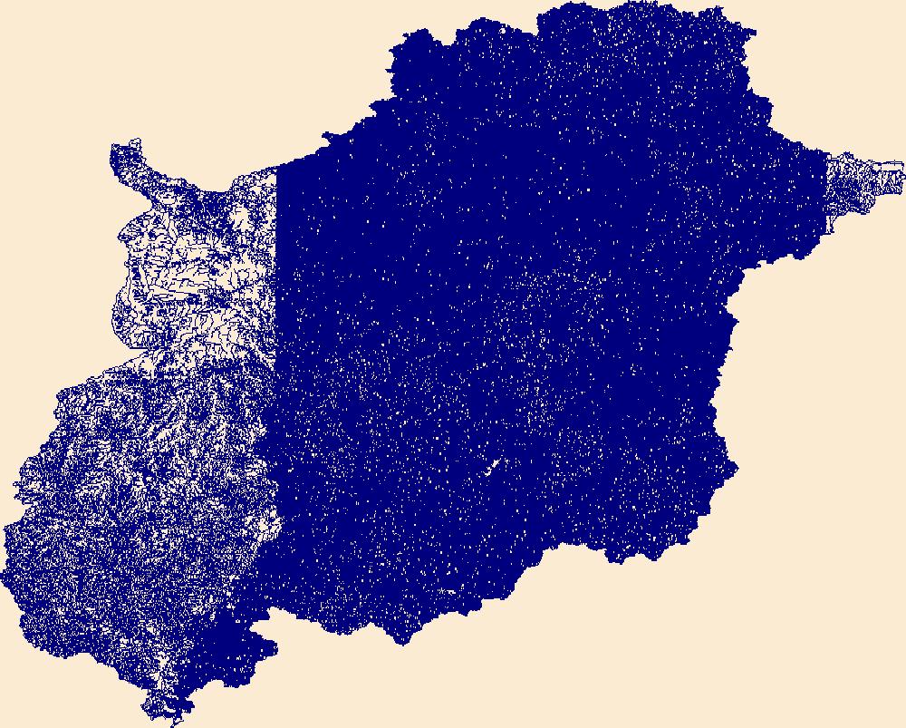
The High Resolution National Hydrography Dataset Plus (NHDPlus HR) is an integrated set of geospatial data layers, including the best available National Hydrography Dataset (NHD), the 10-meter 3D Elevation Program Digital Elevation Model (3DEP DEM), and the National Watershed Boundary Dataset (WBD). The NHDPlus HR combines the NHD, 3DEP DEMs, and WBD to create a stream network with linear referencing, feature naming, "value added attributes" (VAAs), elevation-derived catchments, and other features for hydrologic data analysis. The stream network with linear referencing is a system of data relationships applied to hydrographic systems so that one stream reach "flows" into another and "events" can be tied to and traced...
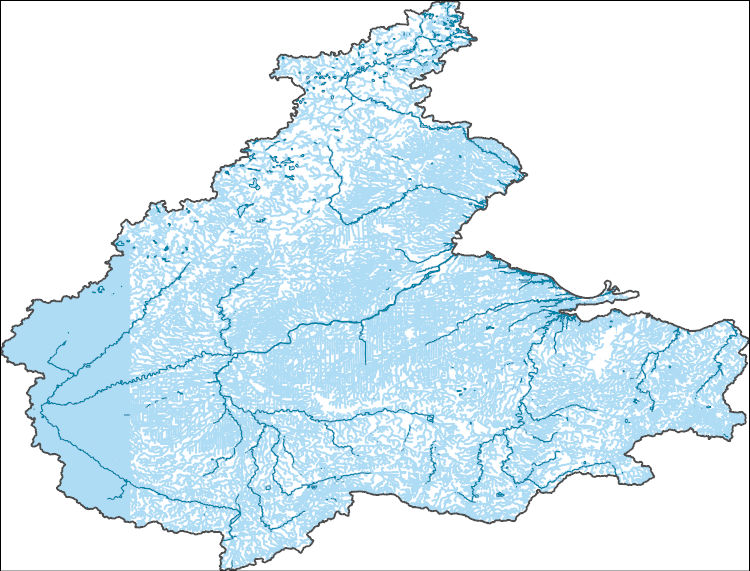
The High Resolution National Hydrography Dataset Plus (NHDPlus HR) is an integrated set of geospatial data layers, including the best available National Hydrography Dataset (NHD), the 10-meter 3D Elevation Program Digital Elevation Model (3DEP DEM), and the National Watershed Boundary Dataset (WBD). The NHDPlus HR combines the NHD, 3DEP DEMs, and WBD to create a stream network with linear referencing, feature naming, "value added attributes" (VAAs), elevation-derived catchments, and other features for hydrologic data analysis. The stream network with linear referencing is a system of data relationships applied to hydrographic systems so that one stream reach "flows" into another and "events" can be tied to and traced...
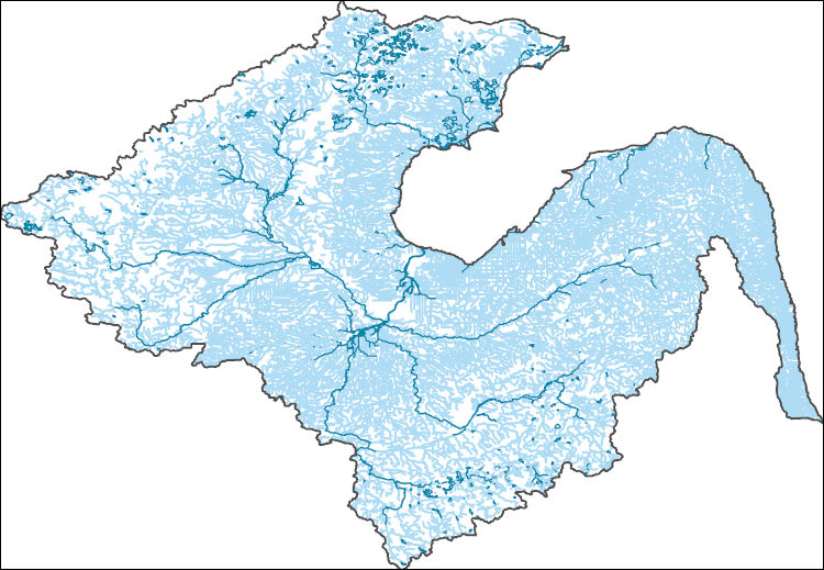
The High Resolution National Hydrography Dataset Plus (NHDPlus HR) is an integrated set of geospatial data layers, including the best available National Hydrography Dataset (NHD), the 10-meter 3D Elevation Program Digital Elevation Model (3DEP DEM), and the National Watershed Boundary Dataset (WBD). The NHDPlus HR combines the NHD, 3DEP DEMs, and WBD to create a stream network with linear referencing, feature naming, "value added attributes" (VAAs), elevation-derived catchments, and other features for hydrologic data analysis. The stream network with linear referencing is a system of data relationships applied to hydrographic systems so that one stream reach "flows" into another and "events" can be tied to and traced...
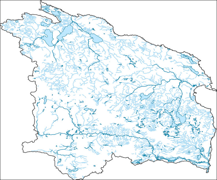
The High Resolution National Hydrography Dataset Plus (NHDPlus HR) is an integrated set of geospatial data layers, including the best available National Hydrography Dataset (NHD), the 10-meter 3D Elevation Program Digital Elevation Model (3DEP DEM), and the National Watershed Boundary Dataset (WBD). The NHDPlus HR combines the NHD, 3DEP DEMs, and WBD to create a stream network with linear referencing, feature naming, "value added attributes" (VAAs), elevation-derived catchments, and other features for hydrologic data analysis. The stream network with linear referencing is a system of data relationships applied to hydrographic systems so that one stream reach "flows" into another and "events" can be tied to and traced...
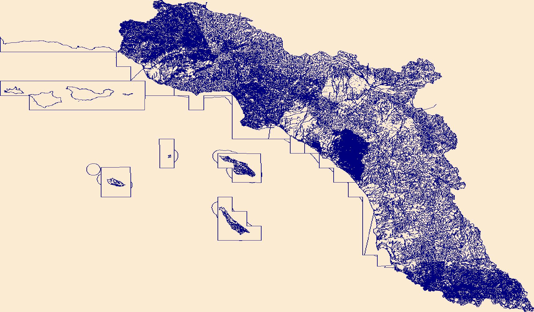
The High Resolution National Hydrography Dataset Plus (NHDPlus HR) is an integrated set of geospatial data layers, including the best available National Hydrography Dataset (NHD), the 10-meter 3D Elevation Program Digital Elevation Model (3DEP DEM), and the National Watershed Boundary Dataset (WBD). The NHDPlus HR combines the NHD, 3DEP DEMs, and WBD to create a stream network with linear referencing, feature naming, "value added attributes" (VAAs), elevation-derived catchments, and other features for hydrologic data analysis. The stream network with linear referencing is a system of data relationships applied to hydrographic systems so that one stream reach "flows" into another and "events" can be tied to and traced...
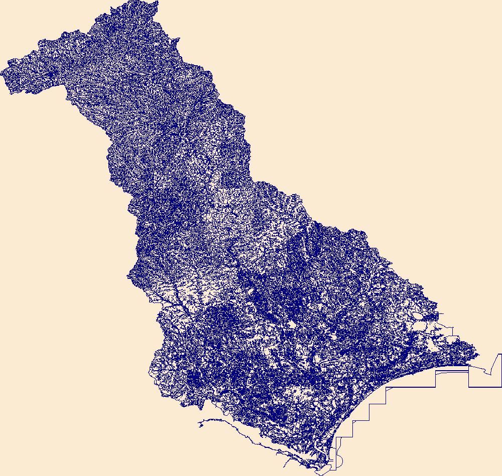
The High Resolution National Hydrography Dataset Plus (NHDPlus HR) is an integrated set of geospatial data layers, including the best available National Hydrography Dataset (NHD), the 10-meter 3D Elevation Program Digital Elevation Model (3DEP DEM), and the National Watershed Boundary Dataset (WBD). The NHDPlus HR combines the NHD, 3DEP DEMs, and WBD to create a stream network with linear referencing, feature naming, "value added attributes" (VAAs), elevation-derived catchments, and other features for hydrologic data analysis. The stream network with linear referencing is a system of data relationships applied to hydrographic systems so that one stream reach "flows" into another and "events" can be tied to and traced...
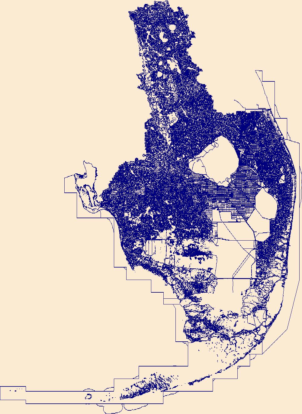
The High Resolution National Hydrography Dataset Plus (NHDPlus HR) is an integrated set of geospatial data layers, including the best available National Hydrography Dataset (NHD), the 10-meter 3D Elevation Program Digital Elevation Model (3DEP DEM), and the National Watershed Boundary Dataset (WBD). The NHDPlus HR combines the NHD, 3DEP DEMs, and WBD to create a stream network with linear referencing, feature naming, "value added attributes" (VAAs), elevation-derived catchments, and other features for hydrologic data analysis. The stream network with linear referencing is a system of data relationships applied to hydrographic systems so that one stream reach "flows" into another and "events" can be tied to and traced...
This data release contains a comma-delimited ascii file of four same-day, discrete discharge measurements made at sites along selected reaches of Kanahā Stream, Maui, Hawai'i on June 1, 2022. These discrete discharge measurements form what is commonly referred to as a “seepage run.” The intent of the seepage run is to quantify the spatial distribution of streamflow along the reach during fair-weather, low-flow conditions, generally characterized by negligible direct runoff within the reach. The measurements can be used to characterize the net seepage of water into (water gain) or out of (water loss) the stream channel between measurement sites provided that the measurements were made during stable, nonchanging flow...
To provide daily mean streamflow values at ungaged (partial-record) sites within the Yankee Fork Salmon River watershed, the U.S. Geological Survey (USGS), in cooperation with U.S. Bureau of Reclamation, used discharge measurements at three partial-record sites and related those measurements to a nearby USGS real-time streamgage (index site). Daily mean streamflow was estimated by developing a regression relationship between each partial-record site and the index site for water years 2012-2019. These data are intended to provide daily mean streamflow estimates at partial-record sites as part of a larger study (Clark and others, 2021) to estimate sediment loading for each site.
Categories: Data;
Types: Map Service,
OGC WFS Layer,
OGC WMS Layer,
OGC WMS Service;
Tags: Custer,
Hydrology,
Idaho,
Land,
North America,
This data release contains a comma-delimited ascii file of three same-day, discrete discharge measurements made at sites along selected reaches of Hāhālawe Stream, Maui, Hawai'i on August 12, 2021. These discrete discharge measurements form what is commonly referred to as a “seepage run.” The intent of the seepage run is to quantify the spatial distribution of streamflow along the reach during fair-weather, low-flow conditions, generally characterized by negligible direct runoff within the reach. The measurements can be used to characterize the net seepage of water into (water gain) or out of (water loss) the stream channel between measurement sites provided that the measurements were made during stable, nonchanging...
This data release contains a comma-delimited ascii file of two same-day, discrete discharge measurements made at sites along selected reaches of Keawewai Stream, Hawai'i on September 17, 2021. These discrete discharge measurements form what is commonly referred to as a “seepage run.” The intent of the seepage run is to quantify the spatial distribution of streamflow along the reach during fair-weather, low-flow conditions, generally characterized by negligible direct runoff within the reach. The measurements can be used to characterize the net seepage of water into (water gain) or out of (water loss) the stream channel between measurement sites provided that the measurements were made during stable, nonchanging...

This dataset is available from the typeName 'NWC:gagesii_basins' in the referenced Web Feature Service. This dataset, termed "GAGES II", an acronym for Geospatial Attributes of Gages for Evaluating Streamflow, version II, provides geospatial data and classifications for 9,322 stream gages maintained by the U.S. Geological Survey (USGS). It is an update to the original GAGES, which was published as a Data Paper on the journal Ecology's website (Falcone and others, 2010b) in 2010. The GAGES II dataset consists of gages which have had either 20+ complete years (not necessarily continuous) of discharge record since 1950, or are currently active, as of water year 2009, and whose watersheds lie within the United States,...
Categories: Data;
Types: Citation,
Map Service,
OGC WFS Layer;
Tags: Alabama,
Alaska,
All 50 states,
Arizona,
Arkansas,
Understanding how changing climatic conditions affect streamflow volume and timing is critical for effective water management. In the Rio Grande Basin of the southwest U.S., decreasing snowpack, increasing minimum temperatures, and decreasing streamflow have been observed in recent decades, but the effects of hydroclimatic changes on baseflow, or groundwater discharge to streams, have not been investigated. The dataset created in this data release was used to help support a study to determine how trends in precipitation, snowpack accumulation, and snowmelt rate relate to streamflow, baseflow, and the hydrologic partitioning of baseflow and runoff at 12 sites in the Upper Rio Grande Basin (URGB) during 1980 to 2015....
This child page contains a zipped folder which contains all files necessary to run trend models and produce results published in U.S. Geological Scientific Investigations Report 2022–5013 [Tatge, W.S., Nustad, R.A., and Galloway, J.M., 2022, Evaluation of Salinity and Nutrient Conditions in the Heart River Basin, North Dakota, 1970-2020: U.S. Geological Survey Scientific Investigations Report 2022-5013]. The folder contains: six files required to run the R–QWTREND trend analysis tool; a readme.txt file; a flowtrendData.RData file; an allsiteinfo.table.csv file, a folder called "scripts", and a folder called "waterqualitydata". The "scripts" folder contains the scripts that can be used to reproduce the results found...
Categories: Data;
Types: Map Service,
OGC WFS Layer,
OGC WMS Layer,
OGC WMS Service;
Tags: Heart River,
North Dakota,
datasets,
streamflow,
water quality
These data consist of rectified aerial photographs, measurements of active channel width, measurements of river and floodplain bathymetry and topography, and ancillary data. These data are specific to the corridor of the Green River in Canyonlands National Park between Horseshoe Canyon and Deadhorse Canyon, Utah. The time period for these data are 1940 to 2018. The 'Channel Width' shapefile data are measurements of the active channel width of the Green River at 1-km intervals in and near Canyonlands National Park, Utah. The 'Mineral Bottom' csv data are river channel cross-sections for a 3-km study reach of the Green River upstream from Mineral Bottom, Utah. The study reach is near the mouth of Hell Roaring Canyon,...
The 'Channel Width' shapefile data are measurements of the active channel width of the Green River at 1-km intervals in and near Canyonlands National Park, Utah. The active channel was defined as the area of the wetted, or inundated, channel as visible on aerial photographs plus the area of bare (free of vegetation) sand and gravel bars. The active channel for each aerial photograph series was hand digitized on a computer screen in ArcGIS version 9.2. The 'Mineral Bottom' csv data are river channel cross-sections for a 3-km study reach of the Green River upstream from Mineral Bottom, Utah. The study reach is near the mouth of Hell Roaring Canyon, 5 km upstream from the Mineral Bottom boat ramp, which is 85 km upstream...
This data release contains waterborne self-potential (WaSP) and surface-water (SW) temperature, conductivity, and specific conductance data measured by the U.S. Geological Survey (USGS) along a 43.2-kilometer (km) long profile in the Elm Fork of the Trinity River upstream from the Dallas, Texas, metropolitan area. The WaSP data were measured from a kayak during January 25–27, 2022, along three survey segments between Lewisville Lake Dam and Frasier Dam Recreational Area. The first segment was surveyed on January 25, began a short distance downstream from Lewisville Lake Dam, and ended about 19.2 river-km downstream, a few meters upstream from Carrollton Dam in McInnish Park. The second was surveyed on January 26,...
Categories: Data;
Tags: California Crossing Dam,
California Crossing Park,
Carrollton Dam,
Carrollton, Texas,
Dallas, Texas,
This data release consists of a comma-delimited ascii file with attributes for 21 U.S. Geological Survey streamgage sites in Hawai‘i and Southeast Alaska selected to enable assessment of how floods might change in a future climate. Floods in Hawai‘i and Southeast Alaska have led to loss of human life; damage to agricultural crops, cultural and biological resources, infrastructure, and property; threats to public health; and conditions that are highly disruptive to residents and visitors. Floods are generated by atmospheric and terrestrial processes that may be enhanced or depressed in response to climate change. Understanding the mechanisms that generate floods can be useful for assessing how floods may change in...
This USGS data release represents the input data used to identify trends in New Jersey streams, water years 1971-2011 and the results of Weighted Regression on Time, Discharge, and Season (WRTDS) models and seasonal rank-sum tests. The data set consists of CSV tables and Excel workbooks of: • trends_InputData_NJ_1971_2011: Reviewed water-quality values and qualifiers at selected stream stations in New Jersey over water years 1971-2011 • trends_WRTDS_AnnualValues_NJ_1971_2011: Annual concentrations and fluxes for each water-quality characteristic at each station from WRTDS models • trends_WRTDS_Changes_NJ_1971_2011: Changes and trends in flow-normalized concentrations and fluxes determined from WRTDS models •...
Categories: Data;
Tags: New Jersey,
USGS Science Data Catalog (SDC),
Water Quality,
filtered chloride,
fluxes,
Estimates of various low-flow statistics were computed at 32 ungaged stream locations throughout New Jersey during the 2020 water year using methods in the published reports, 1) Streamflow characteristics and trends in New Jersey, water years 1897-2003 (Watson and others, 2005) and 2) Implementation of MOVE.1, censored MOVE.1, and piecewise MOVE.1 low-flow regressions with applications at partial-record streamgaging stations in New Jersey (Colarullo and others, 2018). The estimates are computed as needed for use in water resources permitting, assessment, and management by the New Jersey Department of Environmental Protection. The data release includes the stream name, location, method of estimation, drainage area,...
Categories: Data;
Types: Downloadable,
Map Service,
OGC WFS Layer,
OGC WMS Layer,
OGC WMS Service,
Shapefile;
Tags: Estimation,
Hydrology,
Low-flow statistics,
New Jersey,
USGS Science Data Catalog (SDC),
|

|