Filters
Date Range
Contacts
(Less)
Tag Types
Tag Schemes
- None (186)
- Geographic Names Information System (186)
- The National Map Collection Thesaurus (177)
- The National Map Product Extent Thesaurus (177)
- The National Map Product Format Thesaurus (177)
- The National Map Theme Thesaurus (177)
- The National Map Type Thesaurus (177)
- U.S. Department of Commerce, 1987, Codes for the identification of the States, the District of Columbia and the outlying areas of the United States, and associated areas (Federal Information Processing Standard 5-2): Washington, D.C., National Institute of Standards and Technology (9)
- ISO 19115 Category (9)
- U.S. Department of Commerce, 1995, Countries, dependencies, areas of special sovereignty, and their principal administrative divisions, (Federal Information Processing Standard 10-4,): Washington, D.C., National Institute of Standards and Technology (9)
- ISO 19115 Topic Category (2)
|
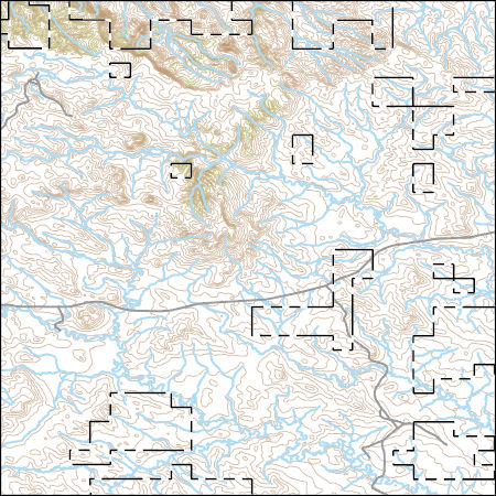
Layers of geospatial data include contours, boundaries, land cover, hydrography, roads, transportation, geographic names, structures, and other selected map features.
Types: Citation;
Tags: 7.5 x 7.5 minute,
7.5 x 7.5 minute,
Carter County,
Combined Vector,
Combined Vector, All tags...
Combined Vector,
Crook County,
Downloadable Data,
FileGDB 10.1,
FileGDB 10.1,
MT,
Montana,
Public Land Survey System,
US,
United States,
WY,
Wyoming,
boundary,
contours,
geographic names,
hydrography,
structures,
transportation,
woodland, Fewer tags
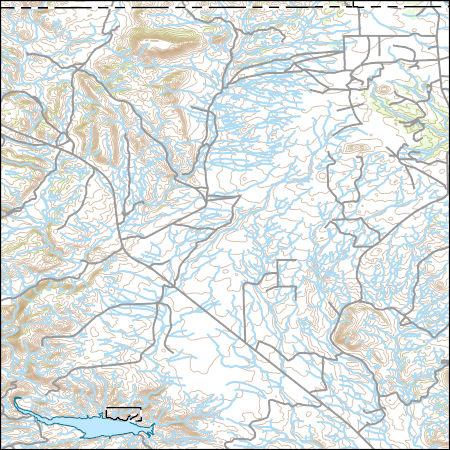
Layers of geospatial data include contours, boundaries, land cover, hydrography, roads, transportation, geographic names, structures, and other selected map features.
Types: Citation;
Tags: 7.5 x 7.5 minute,
7.5 x 7.5 minute,
Albany County,
CO,
Colorado, All tags...
Combined Vector,
Combined Vector,
Combined Vector,
Downloadable Data,
Laramie County,
Larimer County,
Public Land Survey System,
Shapefile,
Shapefile,
US,
United States,
WY,
Wyoming,
boundary,
contours,
geographic names,
hydrography,
structures,
transportation,
woodland, Fewer tags
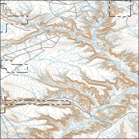
Layers of geospatial data include contours, boundaries, land cover, hydrography, roads, transportation, geographic names, structures, and other selected map features.
Types: Citation;
Tags: 7.5 x 7.5 minute,
7.5 x 7.5 minute,
CO,
Colorado,
Combined Vector, All tags...
Combined Vector,
Combined Vector,
Downloadable Data,
FileGDB 10.1,
FileGDB 10.1,
Moffat County,
Public Land Survey System,
Sweetwater County,
US,
United States,
WY,
Wyoming,
boundary,
contours,
geographic names,
hydrography,
structures,
transportation,
woodland, Fewer tags
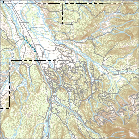
Layers of geospatial data include contours, boundaries, land cover, hydrography, roads, transportation, geographic names, structures, and other selected map features.
Types: Citation;
Tags: 7.5 x 7.5 minute,
7_5_Min,
Combined Vector,
Combined Vector,
Combined Vector, All tags...
Downloadable Data,
Esri Shapefile nan,
Public Land Survey System,
Shapefile,
Summit,
Topo Map Vector Data,
US,
UT,
Uinta,
United States,
Utah,
WY,
Wyoming,
boundary,
contours,
geographic names,
hydrography,
structures,
transportation,
woodland, Fewer tags
Layers of geospatial data include contours, boundaries, land cover, hydrography, roads, transportation, geographic names, structures, and other selected map features.
Types: Citation;
Tags: 7.5 x 7.5 minute,
7_5_Min,
Combined Vector,
Combined Vector,
Combined Vector, All tags...
Downloadable Data,
Esri Shapefile nan,
Public Land Survey System,
Rich,
Shapefile,
Summit,
Topo Map Vector Data,
US,
UT,
Uinta,
United States,
Utah,
WY,
Wyoming,
boundary,
contours,
geographic names,
hydrography,
structures,
transportation,
woodland, Fewer tags
Layers of geospatial data include contours, boundaries, land cover, hydrography, roads, transportation, geographic names, structures, and other selected map features.
Types: Citation;
Tags: 7.5 x 7.5 minute,
7_5_Min,
Combined Vector,
Combined Vector,
Combined Vector, All tags...
Downloadable Data,
Esri File GeoDatabase 10,
FileGDB,
Public Land Survey System,
Summit,
Topo Map Vector Data,
US,
UT,
Uinta,
United States,
Utah,
WY,
Wyoming,
boundary,
contours,
geographic names,
hydrography,
structures,
transportation,
woodland, Fewer tags
|
|

