Filters: Tags: Wisconsin (X)
9,508 results (364ms)|
Filters
Date Range
Extensions (Less)
Types (Less)
Contacts (Less)
Categories (Less)
Tag Types
|
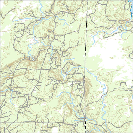
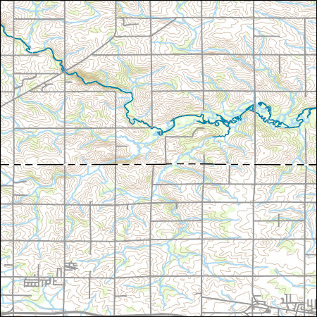
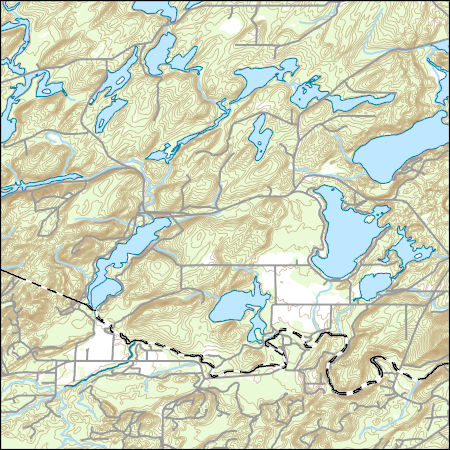
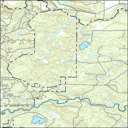
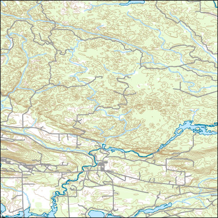
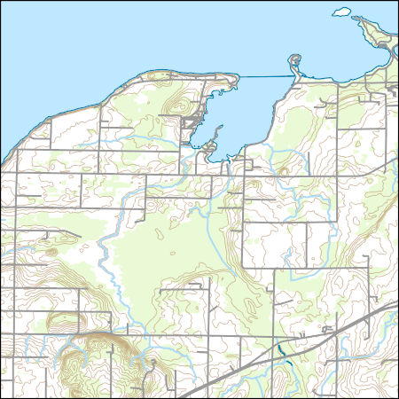
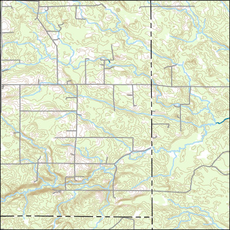
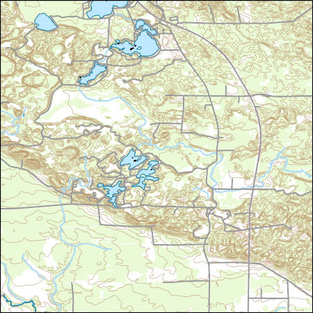
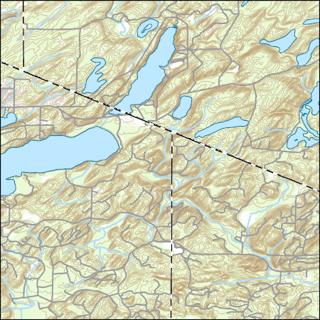
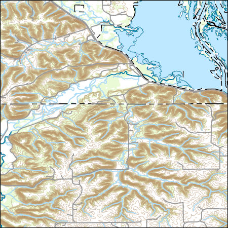
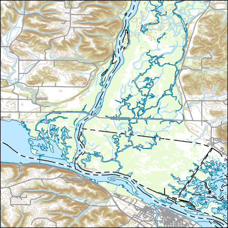
Layers of geospatial data include contours, boundaries, land cover, hydrography, roads, transportation, geographic names, structures, and other selected map features.
Types: Citation;
Tags: 7.5 x 7.5 minute,
7_5_Min,
Combined Vector,
Combined Vector,
Combined Vector,
Layers of geospatial data include contours, boundaries, land cover, hydrography, roads, transportation, geographic names, structures, and other selected map features.
Types: Citation;
Tags: 7.5 x 7.5 minute,
7_5_Min,
Combined Vector,
Combined Vector,
Combined Vector,
This dataset is part of the U.S. Geological Survey (USGS) Great Lakes Coastal Wetland Restoration Assessment (GLCWRA) initiative. These data represent the flowline network in the Green Bay Restoration Assessment (GBRA). It is attributed with the number of disconnections (e.g., road crossings) between the reach and Lake Ontario. The more road crossings on a flowline the more disconnected that area is from the lake and the less suitable it will be for restoration. These data help identify the condition of hydrologic separation between potential restoration areas and Lake Ontario. Low numbers represent fewer disconnections, such as culverts, between the reach and the water body requiring no flow network modification...

USGS National Boundary Dataset (NBD) in Wisconsin State or Territory (published 20240215) GeoPackage
Geospatial data is comprised of government boundaries.
The geographic information system (GIS) format spatial data set of vegetation for Apostle Islands National Lakeshore (APIS) was created for the National Park Service (NPS) Vegetation Inventory Program (VIP). The APIS covers an area of approximately 28,972 ha (71,591 acres). The map classification scheme used to create the vegetation data set is designed to represent local vegetation types at the finest level possible using the National Vegetation Classification (NVC) Standard (Vr 2). Physiognomic information was also recorded, including height (woody vegetation), canopy density, and coverage patterns. The vegetation data set was developed by interpreting aerial photographs collected in 2004 and extensive field surveys....
The U.S. Army Corps of Engineers' Upper Mississippi River Restoration (UMRR) program, through its Long Term Resource Monitoring (LTRM) element, collected aerial imagery of the systemic Upper Mississippi River System (UMRS) during the summer of 2020. A Land Cover/Land Use (LCU) spatial database was developed based on the 2020 aerial imagery, which adds a fourth systemic-wide database to the existing 1989, 2000, and 2010/11 LCU databases. While a crosswalk was used to update the 1989 LCU database (originally developed using a different classification system), the 2000, 2010/11, and 2020 LCU databases share the same classification, making them directly comparable from a classification standpoint. Furthermore, protocols...
Categories: Data;
Types: Downloadable,
Map Service,
OGC WFS Layer,
OGC WMS Layer,
Shapefile;
Tags: Iowa,
USGS-EMA-LOW-MR Landscape Ecology,
USGS-EMA-LOW-PL Mississippi River,
Wisconsin,
aquatic vegetation,
Grouse: These data on sharp-tailed grouse survival times are provided for individuals wanting to run an age-period survival analysis. Entry and exit times are expressed in integer days from the start of the study. Entry age and exit age expressed in integer days are also included. Data are structured to implement survival analysis. White-tailed Deer: These data on white-tailed deer survival times are provided for individuals wanting to run an age-period survival analysis. Entry and exit times are expressed in integer weeks from the start of the study. Entry age and exit age expressed in integer weeks are also included. Data are structured to implement survival analysis. Only adult female individuals that were chronic-wasting...
Categories: Data;
Tags: USGS Science Data Catalog (SDC),
Wildlife Biology,
Wisconsin,
utilitiesCommunication
Layers of geospatial data include contours, boundaries, land cover, hydrography, roads, transportation, geographic names, structures, and other selected map features.
Layers of geospatial data include contours, boundaries, land cover, hydrography, roads, transportation, geographic names, structures, and other selected map features.
Types: Citation;
Tags: 7.5 x 7.5 minute,
7_5_Min,
Combined Vector,
Combined Vector,
Combined Vector,
Layers of geospatial data include contours, boundaries, land cover, hydrography, roads, transportation, geographic names, structures, and other selected map features.
Types: Citation;
Tags: 7.5 x 7.5 minute,
7_5_Min,
Combined Vector,
Combined Vector,
Combined Vector,
The National Hydrography Dataset (NHD) is a feature-based database that interconnects and uniquely identifies the stream segments or reaches that make up the nation's surface water drainage system. NHD data was originally developed at 1:100,000-scale and exists at that scale for the whole country. This high-resolution NHD, generally developed at 1:24,000/1:12,000 scale, adds detail to the original 1:100,000-scale NHD. (Data for Alaska, Puerto Rico and the Virgin Islands was developed at high-resolution, not 1:100,000 scale.) Local resolution NHD is being developed where partners and data exist. The NHD contains reach codes for networked features, flow direction, names, and centerline representations for areal water...

This data represents the map extent for current and historical USGS topographic maps for the United States and Territories, including 1 X 2 Degree, 1 X 1 Degree, 30 X 60 Minute, 15 X 15 Minute, 7.5 X 7.5 Minute, and 3.75 X 3.75 Minute. The grid was generated using ESRI ArcInfo GIS software.
Layers of geospatial data include contours, boundaries, land cover, hydrography, roads, transportation, geographic names, structures, and other selected map features.
Types: Citation;
Tags: 7.5 x 7.5 minute,
7_5_Min,
Combined Vector,
Combined Vector,
Combined Vector,
Layers of geospatial data include contours, boundaries, land cover, hydrography, roads, transportation, geographic names, structures, and other selected map features.
Types: Citation;
Tags: 7.5 x 7.5 minute,
7_5_Min,
Combined Vector,
Combined Vector,
Combined Vector,
Layers of geospatial data include contours, boundaries, land cover, hydrography, roads, transportation, geographic names, structures, and other selected map features.
Types: Citation;
Tags: 7.5 x 7.5 minute,
7_5_Min,
Combined Vector,
Combined Vector,
Combined Vector,
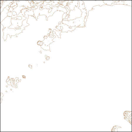
These vector contour lines are derived from the 3D Elevation Program using automated and semi-automated processes. They were created to support 1:24,000-scale CONUS and Hawaii, 1:25,000-scale Alaska, and 1:20,000-scale Puerto Rico / US Virgin Island topographic map products, but are also published in this GIS vector format. Contour intervals are assigned by 7.5-minute quadrangle, so this vector dataset is not visually seamless across quadrangle boundaries. The vector lines have elevation attributes (in feet above mean sea level on NAVD88), but this dataset does not carry line symbols or annotation.
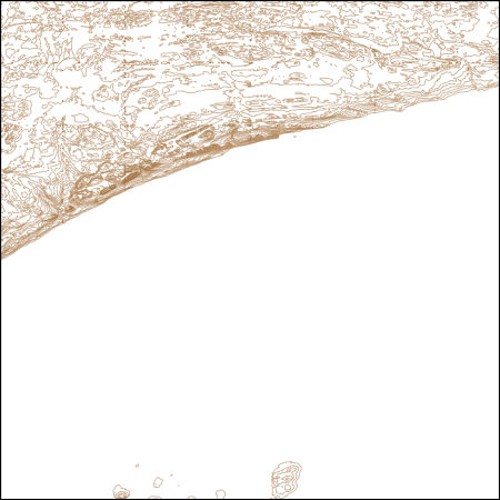
These vector contour lines are derived from the 3D Elevation Program using automated and semi-automated processes. They were created to support 1:24,000-scale CONUS and Hawaii, 1:25,000-scale Alaska, and 1:20,000-scale Puerto Rico / US Virgin Island topographic map products, but are also published in this GIS vector format. Contour intervals are assigned by 7.5-minute quadrangle, so this vector dataset is not visually seamless across quadrangle boundaries. The vector lines have elevation attributes (in feet above mean sea level on NAVD88), but this dataset does not carry line symbols or annotation.
Layers of geospatial data include contours, boundaries, land cover, hydrography, roads, transportation, geographic names, structures, and other selected map features.
Layers of geospatial data include contours, boundaries, land cover, hydrography, roads, transportation, geographic names, structures, and other selected map features.
Types: Citation;
Tags: 7.5 x 7.5 minute,
7.5 x 7.5 minute,
Buffalo County,
Combined Vector,
Combined Vector,
Layers of geospatial data include contours, boundaries, land cover, hydrography, roads, transportation, geographic names, structures, and other selected map features.
Types: Citation;
Tags: 7.5 x 7.5 minute,
7.5 x 7.5 minute,
Buffalo County,
Combined Vector,
Combined Vector,
|

|
