Filters: Tags: cottonwood (X)
141 results (157ms)|
Filters
Date Range
Extensions Types Contacts
Categories Tag Types
|
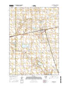
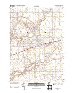
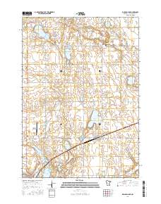
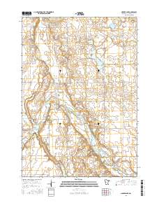
USGS Historical Quadrangle in GeoPDF.
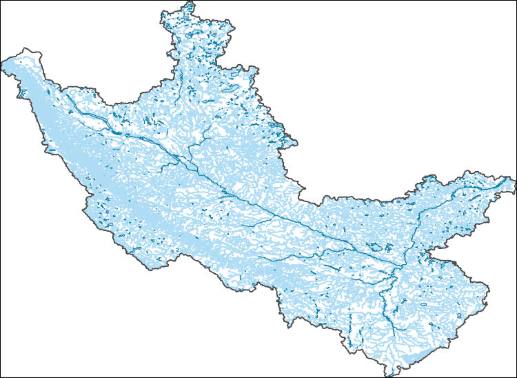
The National Hydrography Dataset (NHD) is a feature-based database that interconnects and uniquely identifies the stream segments or reaches that make up the nation's surface water drainage system. NHD data was originally developed at 1:100,000-scale and exists at that scale for the whole country. This high-resolution NHD, generally developed at 1:24,000/1:12,000 scale, adds detail to the original 1:100,000-scale NHD. (Data for Alaska, Puerto Rico and the Virgin Islands was developed at high-resolution, not 1:100,000 scale.) Local resolution NHD is being developed where partners and data exist. The NHD contains reach codes for networked features, flow direction, names, and centerline representations for areal water...
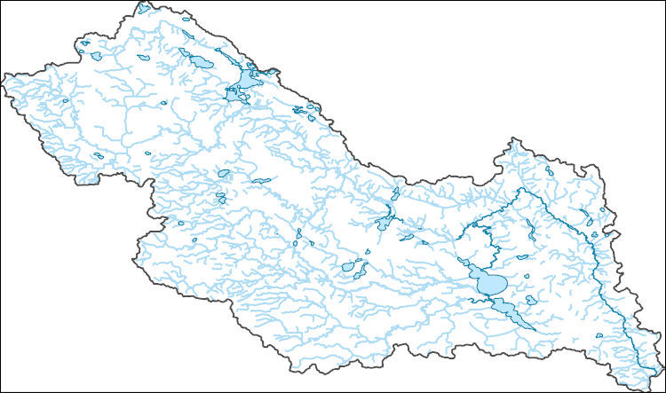
The National Hydrography Dataset (NHD) is a feature-based database that interconnects and uniquely identifies the stream segments or reaches that make up the nation's surface water drainage system. NHD data was originally developed at 1:100,000-scale and exists at that scale for the whole country. This high-resolution NHD, generally developed at 1:24,000/1:12,000 scale, adds detail to the original 1:100,000-scale NHD. (Data for Alaska, Puerto Rico and the Virgin Islands was developed at high-resolution, not 1:100,000 scale.) Local resolution NHD is being developed where partners and data exist. The NHD contains reach codes for networked features, flow direction, names, and centerline representations for areal water...
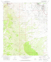
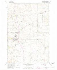
Layered GeoPDF 7.5 Minute Quadrangle Map. Layers of geospatial data include orthoimagery, roads, grids, geographic names, elevation contours, hydrography, and other selected map features.
Layered geospatial PDF Map. Layers of geospatial data include orthoimagery, roads, grids, geographic names, elevation contours, hydrography, and other selected map features.
Geospatial data includes structures and other selected map features.
USGS National Boundary Dataset (NBD) in Minnesota State or Territory (published 20240215) GeoPackage
Geospatial data is comprised of government boundaries.
The Geographic Names Information System (GNIS) is the Federal standard for geographic nomenclature. The U.S. Geological Survey developed the GNIS for the U.S. Board on Geographic Names, a Federal inter-agency body chartered by public law to maintain uniform feature name usage throughout the Government and to promulgate standard names to the public. The GNIS is the official repository of domestic geographic names data; the official vehicle for geographic names use by all departments of the Federal Government; and the source for applying geographic names to Federal electronic and printed products of all types.
The National Hydrography Dataset (NHD) is a feature-based database that interconnects and uniquely identifies the stream segments or reaches that make up the nation's surface water drainage system. NHD data was originally developed at 1:100,000-scale and exists at that scale for the whole country. This high-resolution NHD, generally developed at 1:24,000/1:12,000 scale, adds detail to the original 1:100,000-scale NHD. (Data for Alaska, Puerto Rico and the Virgin Islands was developed at high-resolution, not 1:100,000 scale.) Local resolution NHD is being developed where partners and data exist. The NHD contains reach codes for networked features, flow direction, names, and centerline representations for areal water...
Executive Summary: Riparian ecosystems are vital components of the semi-arid landscape because woody riparian plants provide resources that are absent in adjacent vegetation types. Historically, flood played a key role in shaping the composition and structure of riparian forests. In recent decades, however, the frequency and magnitude of floods has decreased and the timing of peak discharge has been altered. In addition, wildfire has increased in importance as an agent of disturbance along many streams. We initiated this study to increase our understanding of fire, flood, and drought processes at our Middle Rio Grande study sites and develop tools that managers of other systems can use to project the response of...
Categories: Data;
Types: Map Service,
OGC WFS Layer,
OGC WMS Layer,
OGC WMS Service;
Tags: 2012,
Acer negundo,
Applications and Tools,
Data.gov Desert LCC,
Decision Support,
This data release consists of the following components: Sex ratio data from cottonwood trees at random points on the floodplain in the North and South units of Theodore Roosevelt National Park, ND. These data were used to investigate the effects of age, height above, and distance from the channel on mortality of male and female trees of plains cottonwood (Populus deltoides subsp. monilifera) as described in the Friedman and Griffin (2017) report. Tree core and tree ring data from the North and South Units of Theodore Roosevelt National Park, North Dakota. South Unit data was collected in April 2012, North Unit data was collected in the summer and fall of 2010. The trees are located on the floodplain of the Little...
The geomorphic effectiveness of extreme floods increases with aridity and decreasing watershed size. Therefore, in small dry watersheds extreme floods should control the age structure and spatial distribution of populations of disturbance-dependent riparian trees. We examined the influence of extreme floods on the bottomland morphology and forest of ephemeral streams in a semiarid region. Along six stream reaches on the Colorado Piedmont we examined channel changes by analyzing a rectified sequence of aerial photographs spanning 56 yr, and we investigated the spatial distribution of different-aged patches of forest by aging 189 randomly sampled cottonwood trees. Channel change in these ephemeral sand-bed streams...
Categories: Publication;
Types: Citation,
Journal Citation;
Tags: Bottomland Forest,
Channel Narrowing,
Colorado,
Cottonwood,
Disturbance,
Abstract (from http://hol.sagepub.com/content/early/2015/04/21/0959683615580181.abstract): Old, multi-aged populations of riparian trees provide an opportunity to improve reconstructions of streamflow. Here, ring widths of 394 plains cottonwood ( Populus deltoides, ssp. monilifera) trees in the North Unit of Theodore Roosevelt National Park, North Dakota, are used to reconstruct streamflow along the Little Missouri River (LMR), North Dakota, US. Different versions of the cottonwood chronology are developed by (1) age-curve standardization (ACS), using age-stratified samples and a single estimated curve of ring width against estimated ring age, and (2) time-curve standardization (TCS), using a subset of longer ring-width...
Categories: Publication;
Types: Citation;
Tags: Birds,
Little Missouri River,
National CASC,
Science Tools for Managers,
State of the Science,
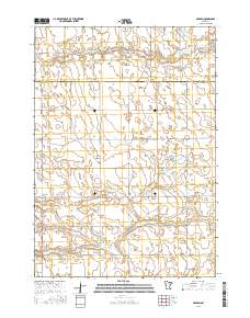
Layered geospatial PDF Map. Layers of geospatial data include orthoimagery, roads, grids, geographic names, elevation contours, hydrography, and other selected map features.
Layered geospatial PDF Map. Layers of geospatial data include orthoimagery, roads, grids, geographic names, elevation contours, hydrography, and other selected map features.
USGS Historical Quadrangle in GeoPDF.
USGS Historical Quadrangle in GeoPDF.
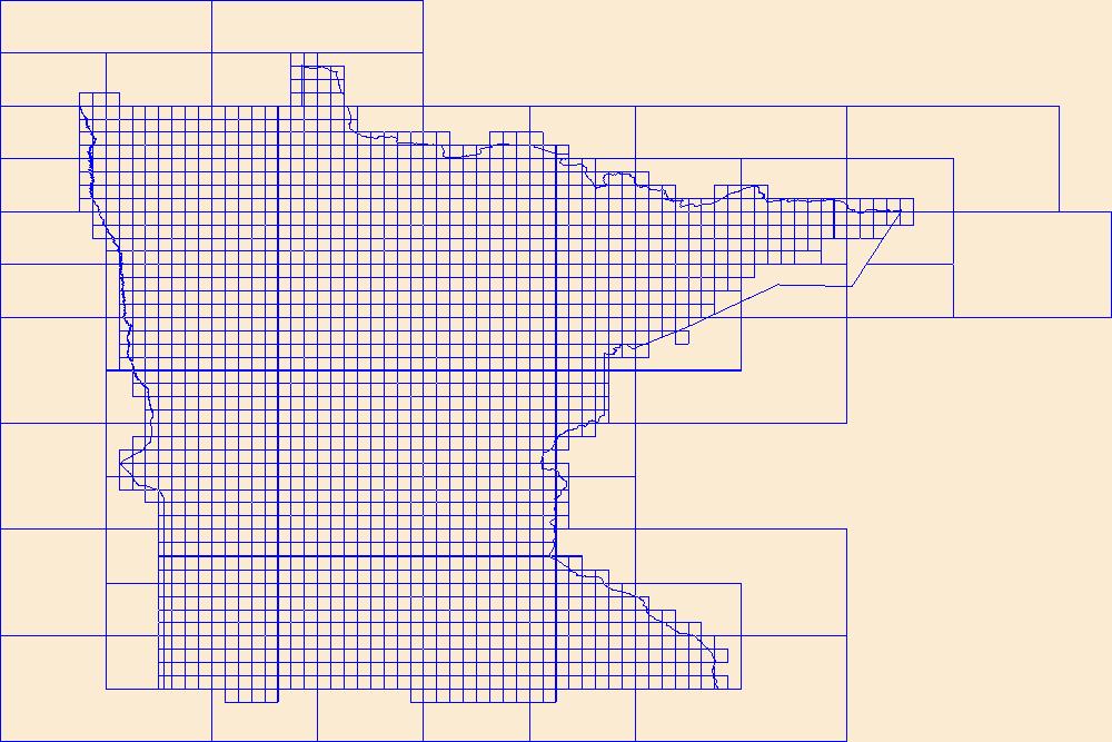
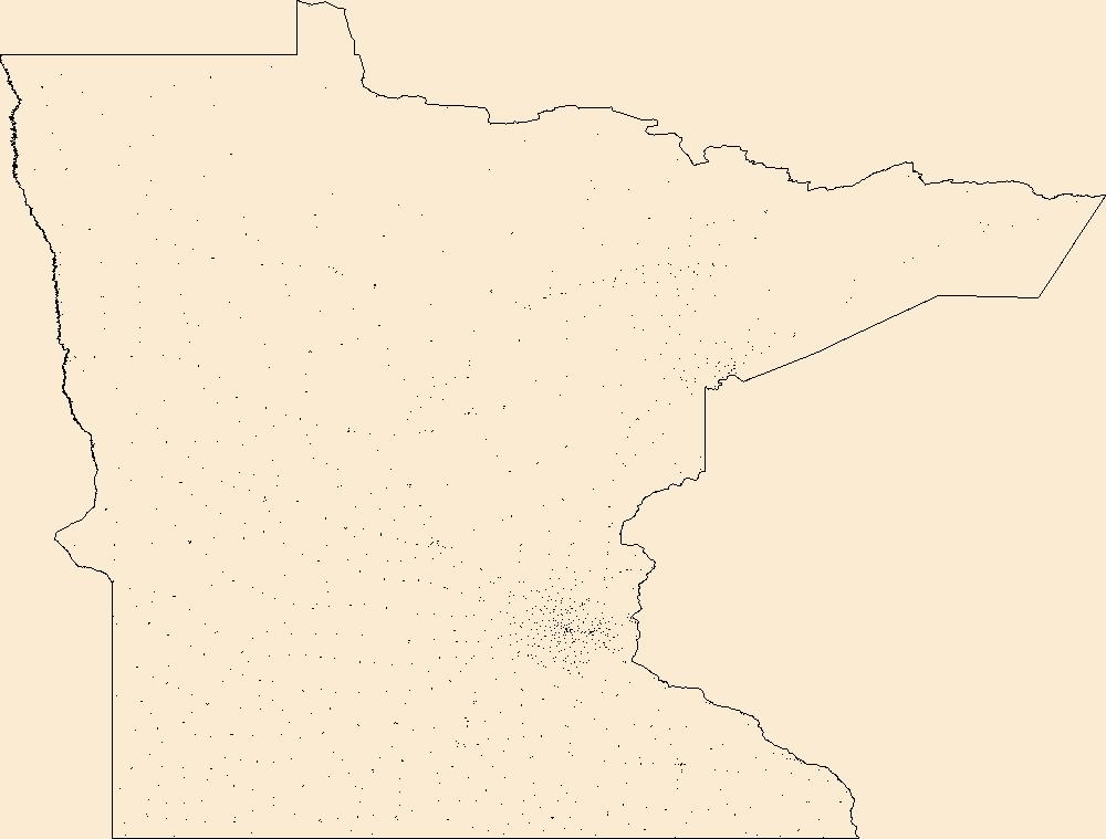
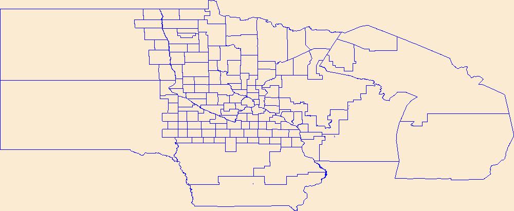
This data represents the map extent for current and historical USGS topographic maps for the United States and Territories, including 1 X 2 Degree, 1 X 1 Degree, 30 X 60 Minute, 15 X 15 Minute, 7.5 X 7.5 Minute, and 3.75 X 3.75 Minute. The grid was generated using ESRI ArcInfo GIS software.
|