Filters: Tags: elk (X)
416 results (65ms)|
Filters
Date Range
Extensions (Less) Types (Less)
Contacts (Less)
Categories (Less) Tag Types
|
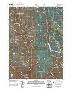
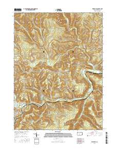
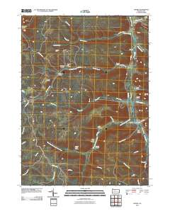
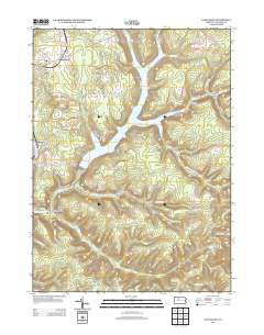
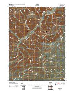
Layered GeoPDF 7.5 Minute Quadrangle Map. Layers of geospatial data include orthoimagery, roads, grids, geographic names, elevation contours, hydrography, and other selected map features.
Layered GeoPDF 7.5 Minute Quadrangle Map. Layers of geospatial data include orthoimagery, roads, grids, geographic names, elevation contours, hydrography, and other selected map features.
Layered GeoPDF 7.5 Minute Quadrangle Map. Layers of geospatial data include orthoimagery, roads, grids, geographic names, elevation contours, hydrography, and other selected map features.
Layered GeoPDF 7.5 Minute Quadrangle Map. Layers of geospatial data include orthoimagery, roads, grids, geographic names, elevation contours, hydrography, and other selected map features.
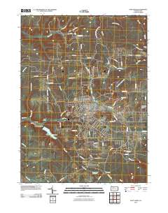
Layered geospatial PDF Map. Layers of geospatial data include orthoimagery, roads, grids, geographic names, elevation contours, hydrography, and other selected map features.
Layered GeoPDF 7.5 Minute Quadrangle Map. Layers of geospatial data include orthoimagery, roads, grids, geographic names, elevation contours, hydrography, and other selected map features.
Layered GeoPDF 7.5 Minute Quadrangle Map. Layers of geospatial data include orthoimagery, roads, grids, geographic names, elevation contours, hydrography, and other selected map features.
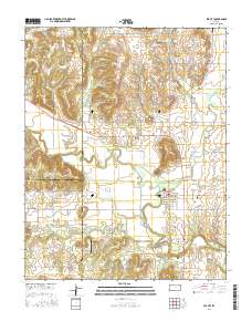
Layered GeoPDF 7.5 Minute Quadrangle Map. Layers of geospatial data include orthoimagery, roads, grids, geographic names, elevation contours, hydrography, and other selected map features.
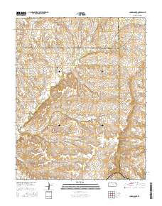
Layered GeoPDF 7.5 Minute Quadrangle Map. Layers of geospatial data include orthoimagery, roads, grids, geographic names, elevation contours, hydrography, and other selected map features.
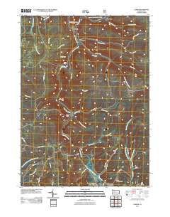
Layered GeoPDF 7.5 Minute Quadrangle Map. Layers of geospatial data include orthoimagery, roads, grids, geographic names, elevation contours, hydrography, and other selected map features.
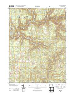
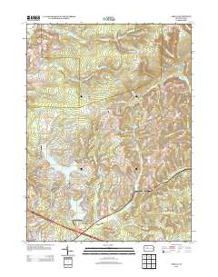
Layered GeoPDF 7.5 Minute Quadrangle Map. Layers of geospatial data include orthoimagery, roads, grids, geographic names, elevation contours, hydrography, and other selected map features.
Elk (Cervus elaphus) populations in Rocky Mountain National Park are higher than at any time in the past century, and heavy browsing by elk may interfere with aspen (Populus tremuloides Michx.) regneration. We used aerial photographs to identify all aspen stands within Rocky Mountain National Park, and all aspen stands within the elk winter range range (defined as 2400 to 2800 m elevation) in three portions of the adjacent Roosevelt National Forest. From this population of aspen stands, we randomly selected 57 stands for evaluation of aspen regeneration. Stands that contained stems younger than 30 years and taller than 2.5 m tall were classified as regenerating successfully. Only 20% of the aspen stands in Estes...
Categories: Publication;
Types: Citation,
Journal Citation;
Tags: Cervus elaphus,
Landscape Ecology,
National Park management,
Springer Netherlands,
elk,
This dataset presents current and future change agent models and combined future potential for change (PFC) within big game seasonal ranges.The big game seasonal ranges extent was determined by aggregating datasets on seasonal ranges of several big game species (Elk, Mule Deer, Pronghorn, and Bighorn Sheep). Seasonal ranges include winter, crucial winter, crucial summer, and parturition areas. Data were obtained from state natural resource agencies (Colorado Parks and Wildlife) and the BLM.This dataset presents current and future change agent models and combined future potential for climate change (PFC). Potential for change (PFC) was determined by calculating the maximum potential for change among all change agents...
Types: Downloadable;
Tags: BLM,
Big Game,
Bighorn Sheep,
Bureau of Land Management,
Crucial Summer Range,
This dataset presents current and future change agent models and combined future potential for change (PFC) within Elk-mule deer assemblage potentially suitable habitat.The elk-mule deer assemblage potentially suitable habitat extent was determined using the SWReGAP Vertebrate Habitat Distribution Model for the mule deer clipped to the study area for the SLV-TP Landscape Assessment. The dataset includes only potentially suitable habitat and does not directly represent movement corridors or seasonal ranges. This dataset presents current and future change agent models and combined future potential for change (PFC). Potential for change (PFC) was determined by calculating the maximum potential for change among all...
This dataset presents current and future change agent models and combined future potential for change (PFC) within Elk-mule deer assemblage potentially suitable habitat.The elk-mule deer assemblage potentially suitable habitat extent was determined using the SWReGAP Vertebrate Habitat Distribution Model for the mule deer clipped to the study area for the SLV-TP Landscape Assessment. The dataset includes only potentially suitable habitat and does not directly represent movement corridors or seasonal ranges. This dataset presents current and future change agent models and combined future potential for change (PFC). Potential for change (PFC) was determined by calculating the maximum potential for change among all...
To support the BLM's San Luis Valley-Taos Plateau Landscape Assessment. This dataset presents current and future change agent models and combined future potential for change (PFC) within big game migration corridors.The big game migration corridors extent was determined from CDOW data. Species include bighorn sheep, elk, mule deer, and pronghorn. Migration corridors were clipped to the study area boundary and merged and dissolved across species.This dataset presents current and future change agent models and combined future potential for change (PFC). Potential for change (PFC) was determined by calculating the maximum potential for change among all change agents within each 1 km reporting unit. Current and future...
A total of 200 soil samples were collected in the Greater Yellowstone Ecosystem in Grand Teton National Park and the National Elk Refuge in July 2019 for chronic wasting disease (CWD) monitoring purposes. To collect samples from locations where ungulates are most likely to be shedding or encountering CWD, we targeted elk collar data locations, known migration routes of mule deer and elk, and areas where yearly elk supplemental feeding generally occurs on the National Elk Refuge. We sampled 10 transects in Grand Teton National Park and 10 transects in the National Elk Refuge, each 1,000 meters in length. We collected soil samples every 100 meters along the transect for a total of 10 samples per transect. Terra Core...
Categories: Data;
Tags: Grand Teton National Park,
National Elk Refuge,
Teton,
USGS Science Data Catalog (SDC),
Wyoming,

USGS Historical Quadrangle in GeoPDF.
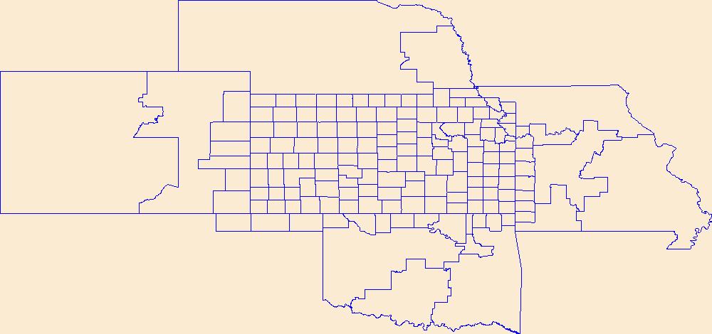
Geospatial data is comprised of government boundaries.
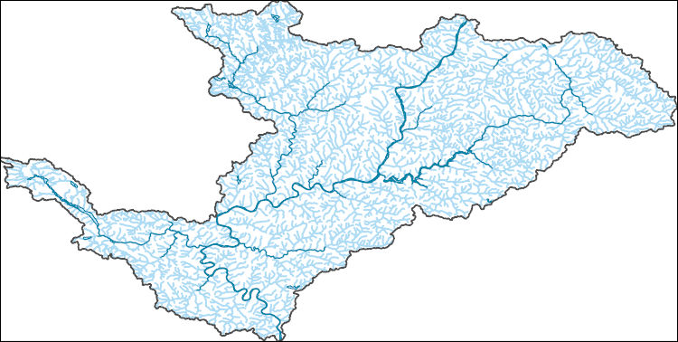
The National Hydrography Dataset (NHD) is a feature-based database that interconnects and uniquely identifies the stream segments or reaches that make up the nation's surface water drainage system. NHD data was originally developed at 1:100,000-scale and exists at that scale for the whole country. This high-resolution NHD, generally developed at 1:24,000/1:12,000 scale, adds detail to the original 1:100,000-scale NHD. (Data for Alaska, Puerto Rico and the Virgin Islands was developed at high-resolution, not 1:100,000 scale.) Local resolution NHD is being developed where partners and data exist. The NHD contains reach codes for networked features, flow direction, names, and centerline representations for areal water...
|

|
