Filters: Tags: granite (X)
437 results (13ms)|
Filters
Date Range
Extensions Types
Contacts
Categories Tag Types
|
Core Research Center, cutting DZ16871, from well operated by PHILLIPS PETROLEUMRaw Properties from download, web scrape, MapServer, and Macrostrat API{"Lib Num": "DZ16871", "API Num": "4301910905", "Operator": "PHILLIPS PETROLEUM", "Well Name": "2 ONION CREEK", "Field": null, "State": "UT", "County": "GRAND", "Thin Sec": "F", "Analysis": "F", "Latitude": "38.71868", "Longitude": "-109.3195", "coordinates_geohash": "9wfk22ebxj0d", "Source": "FROM STATE RECORDS", "Min": "120", "Max": "14311", "Security Flag": null, "crc_collection_name": "cutting", "sb_parent_id": "4f4e49d8e4b07f02db5df2d2", "intervals": [{"Formation": null, "Age": null, "Min Depth": null, "Max Depth": null}], "crcwc_url": "https://my.usgs.gov/crcwc/cutting/report/39847",...
Categories: Physical Item;
Tags: Cutler Formation,
Cutler Formation,
Lower Permian,
conglomerate,
felsite,
Core Research Center, core U754, from well operated by NURE (ROCKY MTN ENERGY)Raw Properties from download, web scrape, MapServer, and Macrostrat API{"Lib Num": "U754", "API Num": null, "Operator": "NURE (ROCKY MTN ENERGY)", "Well Name": "47 MGCH", "Field": "COPPER MOUNTAIN", "State": "WY", "County": "FREMONT", "Type": "SPLIT", "Photos": "F", "Thin Sec": "F", "Analysis": "F", "Latitude": "43.39942", "Longitude": "-107.9001", "coordinates_geohash": "9xeqbstecqq0", "Source": "CENTER OF QUARTER SECTION", "Security Flag": "VIEWING ALLOWED, NO SAMPLING UNLESS APPROVED", "crc_collection_name": "core", "sb_parent_id": "4f4e49dae4b07f02db5e0486", "intervals": [{"Formation": "GRANITE", "Age": "PREC", "Min Depth": "56", "Max...
Categories: Physical Item;
Tags: Alluvium and Colluvium,
GRANITE,
PREC,
Pleistocene - Holocene,
TEPEE TRAIL,
Core Research Center, cutting CZ05677, from well operated by FOREST OIL AZTEC OIL & GASRaw Properties from download, web scrape, MapServer, and Macrostrat API{"Lib Num": "CZ05677", "API Num": "4901306918", "Operator": "FOREST OIL AZTEC OIL & GAS", "Well Name": "18-1 STATE", "Field": "WC", "State": "WY", "County": "FREMONT", "Thin Sec": "F", "Analysis": "F", "Latitude": "42.74452", "Longitude": "-107.88284", "coordinates_geohash": "9xe71j6hgsh1", "Source": "FROM STATE RECORDS", "Min": "800", "Max": "3805", "Security Flag": null, "crc_collection_name": "cutting", "sb_parent_id": "4f4e49d8e4b07f02db5df2d2", "intervals": [{"Formation": null, "Age": null, "Min Depth": null, "Max Depth": null}], "crcwc_url": "https://my.usgs.gov/crcwc/cutting/report/17305",...
Categories: Physical Item;
Tags: Middle-Late Eocene,
Wagon Bed Formation,
Wagon Bed Formation,
andesite,
ash,
Core Research Center, core U747, from well operated by NURE (ROCKY MTN ENERGY)Raw Properties from download, web scrape, MapServer, and Macrostrat API{"Lib Num": "U747", "API Num": null, "Operator": "NURE (ROCKY MTN ENERGY)", "Well Name": "39 MGCH", "Field": "COPPER MOUNTAIN", "State": "WY", "County": "FREMONT", "Type": "SPLIT", "Photos": "F", "Thin Sec": "F", "Analysis": "F", "Latitude": "43.40665", "Longitude": "-107.87028", "coordinates_geohash": "9xeqcmgq0613", "Source": "CENTER OF QUARTER SECTION", "Security Flag": "VIEWING ALLOWED, NO SAMPLING UNLESS APPROVED", "crc_collection_name": "core", "sb_parent_id": "4f4e49dae4b07f02db5e0486", "intervals": [{"Formation": "TEPEE TRAIL", "Age": "TERT", "Min Depth": "0",...
Categories: Physical Item;
Tags: GRANITE,
Granitic rocks of 2,600-Ma Age Group,
PREC,
TEPEE TRAIL,
TERT,
Core Research Center, core U741, from well operated by NURE (ROCKY MTN ENERGY)Raw Properties from download, web scrape, MapServer, and Macrostrat API{"Lib Num": "U741", "API Num": null, "Operator": "NURE (ROCKY MTN ENERGY)", "Well Name": "33 MGCH", "Field": "COPPER MOUNTAIN", "State": "WY", "County": "FREMONT", "Type": "SPLIT", "Photos": "F", "Thin Sec": "F", "Analysis": "F", "Latitude": "43.40664", "Longitude": "-107.87525", "coordinates_geohash": "9xeqcjzwh2pt", "Source": "CENTER OF QUARTER SECTION", "Security Flag": "VIEWING ALLOWED, NO SAMPLING UNLESS APPROVED", "crc_collection_name": "core", "sb_parent_id": "4f4e49dae4b07f02db5e0486", "intervals": [{"Formation": "TEPEE TRAIL", "Age": "TERT", "Min Depth": "10",...
Categories: Physical Item;
Tags: GRANITE,
GRANITE,
Granitic rocks of 2,600-Ma Age Group,
PREC,
PREC,
This data release contains the U.S. salient statistics and world production data extracted from the STONE (DIMENSION) data sheet of the USGS Mineral Commodity Summaries 2024.
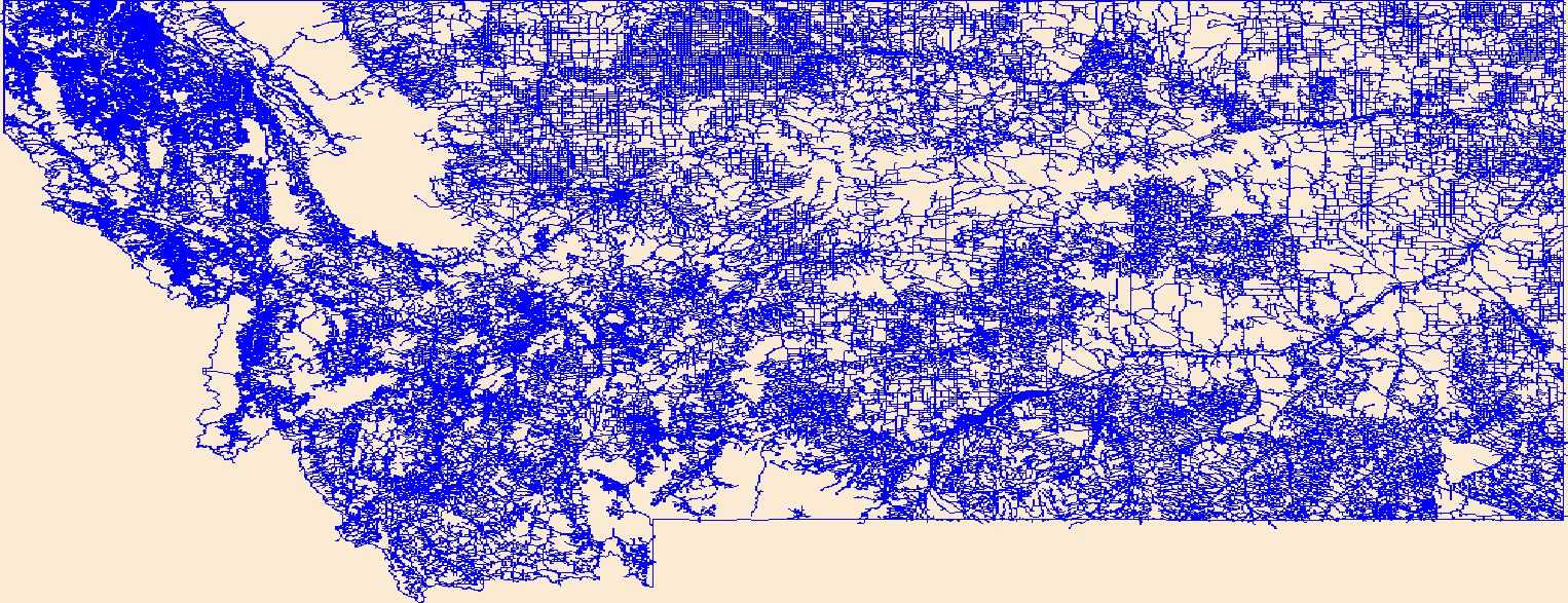
Layers of geospatial data include roads, airports, trails, and railroads.
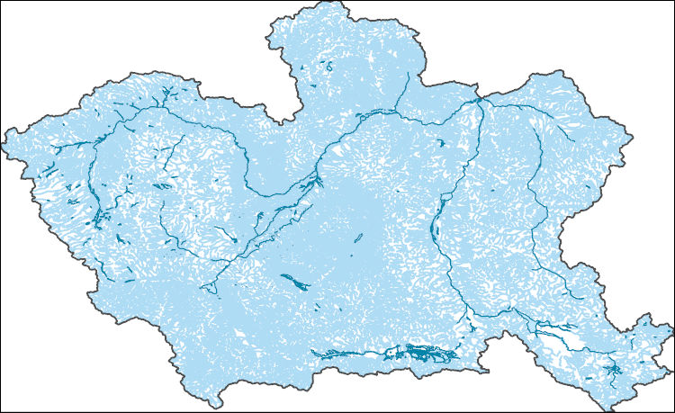
The National Hydrography Dataset (NHD) is a feature-based database that interconnects and uniquely identifies the stream segments or reaches that make up the nation's surface water drainage system. NHD data was originally developed at 1:100,000-scale and exists at that scale for the whole country. This high-resolution NHD, generally developed at 1:24,000/1:12,000 scale, adds detail to the original 1:100,000-scale NHD. (Data for Alaska, Puerto Rico and the Virgin Islands was developed at high-resolution, not 1:100,000 scale.) Local resolution NHD is being developed where partners and data exist. The NHD contains reach codes for networked features, flow direction, names, and centerline representations for areal water...
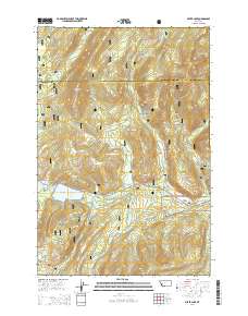
Layered GeoPDF 7.5 Minute Quadrangle Map. Layers of geospatial data include orthoimagery, roads, grids, geographic names, elevation contours, hydrography, and other selected map features.
Layered GeoPDF 7.5 Minute Quadrangle Map. Layers of geospatial data include orthoimagery, roads, grids, geographic names, elevation contours, hydrography, and other selected map features.
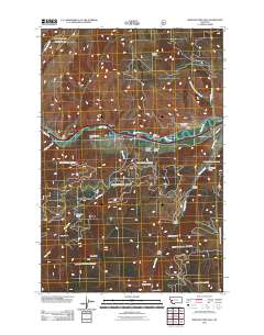
Layered geospatial PDF Map. Layers of geospatial data include orthoimagery, roads, grids, geographic names, elevation contours, hydrography, and other selected map features.
Layered GeoPDF 7.5 Minute Quadrangle Map. Layers of geospatial data include orthoimagery, roads, grids, geographic names, elevation contours, hydrography, and other selected map features.
Layered GeoPDF 7.5 Minute Quadrangle Map. Layers of geospatial data include orthoimagery, roads, grids, geographic names, elevation contours, hydrography, and other selected map features.
Layered geospatial PDF Map. Layers of geospatial data include orthoimagery, roads, grids, geographic names, elevation contours, hydrography, and other selected map features.
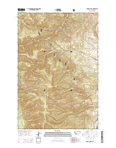
Layered GeoPDF 7.5 Minute Quadrangle Map. Layers of geospatial data include orthoimagery, roads, grids, geographic names, elevation contours, hydrography, and other selected map features.
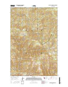
Layered geospatial PDF Map. Layers of geospatial data include orthoimagery, roads, grids, geographic names, elevation contours, hydrography, and other selected map features.
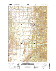
Layered GeoPDF 7.5 Minute Quadrangle Map. Layers of geospatial data include orthoimagery, roads, grids, geographic names, elevation contours, hydrography, and other selected map features.
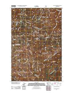
Layered GeoPDF 7.5 Minute Quadrangle Map. Layers of geospatial data include orthoimagery, roads, grids, geographic names, elevation contours, hydrography, and other selected map features.
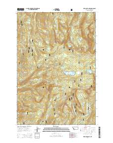
Layered GeoPDF 7.5 Minute Quadrangle Map. Layers of geospatial data include orthoimagery, roads, grids, geographic names, elevation contours, hydrography, and other selected map features.
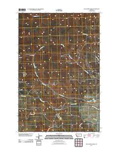
Layered GeoPDF 7.5 Minute Quadrangle Map. Layers of geospatial data include orthoimagery, roads, grids, geographic names, elevation contours, hydrography, and other selected map features.
|

|
