Filters: Tags: index (X)
12 results (66ms)|
Filters
Contacts
(Less)
|
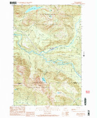
USGS Historical Quadrangle in GeoPDF.
The Western Governors’ Association (WGA) sponsored an assessment of crucial habitats which will be used for the evaluation of landscape-scale energy, land use, and transportation projects throughout the western United States. The main product of the WGA’s assessment is an easily accessible online system of maps displaying crucial habitats and corridors known as the Crucial Habitat Assessment Tool (CHAT; http://www.westgovchat.org/).Crucial habitats were based on factors such as species of concern, species of economic and recreational importance, special ecological systems and habitat types, habitat corridors, native species richness, and ecological integrity (i.e., unfragmented habitats). All of these factors are...
Categories: Data;
Types: Map Service,
OGC WFS Layer,
OGC WMS Layer,
OGC WMS Service;
Tags: Arizona,
Assessment,
California,
Colorado,
EARTH SCIENCE > LAND SURFACE > LANDSCAPE,
Transformational energy and climate policies are being debated worldwide that could have significant impact upon the future of the forest products industry. Because woody biomass can produce alternative transportation fuels, low-carbon electricity, and numerous other "green" products in addition to traditional paper and lumber commodities, the future use of forest resources is highly uncertain. Using the National Energy Modeling System (NEMS), this paper assesses the future of the forest products industry under three possible U.S. policy scenarios: (1) a national renewable electricity standard, (2) a national policy of carbon constraints, and (3) incentives for industrial energy efficiency. In addition, we discuss...
Categories: Publication;
Types: Citation;
Tags: Fossil fuel,
application,
index,
management,
resource,
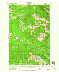
USGS Historical Quadrangle in GeoPDF.
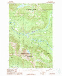
USGS Historical Quadrangle in GeoPDF.
Planimetric positional data represents a structuring of digitally scanned National Topographic Series mapsheet layers. Elevation data was created thorugh interpolation and extrapolation from the scanned contour layer. DATA SOURCE SIZE : 84 sheets GEO COVERAGE : Full coverage of province. Base information originates from digital scanning and vectorizing of federal 1:250,000 NTS lithographic layers of published mapsheets. DEM was created through a process of interpolation/extrapolation from original contours and the manual introduction of elevation points from hardcopy. Water and wetland closed polygonal features were created at a later date. Index Grid for NTS 1:250,000 scale maps.
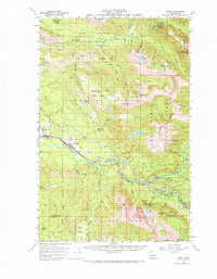
USGS Historical Quadrangle in GeoPDF.
These data show the results from the Lake Vegetation Index (LVI) for Lakes and Ponds of Florida for 2018. The LVI is one of the procedures that FDEP uses in its Bioassessment and Restoration programs to determine the health of vegetation of lakes and ponds. LVI has been adopted as one of the ecological indicators of the health of lakes and ponds. LVI is an ongoing program with continued data collection in sample sites that may vary over time but are regularly collected in widespread sample sites throughout the state of Florida. LVI is an ecological indicator for the Lakes and Ponds Conservation Asset of the Florida Landscape Conservation Project (LCP). The LCP entails a large-scale assessment of and planning for...
Categories: Data;
Types: ArcGIS REST Map Service,
ArcGIS Service Definition,
Downloadable,
Map Service;
Tags: Florida,
Florida Landscape Conservation Project,
Index,
Indicator,
LVI,
USGS Historical Quadrangle in GeoPDF.
The USGS Map Indices service from The National Map (TNM) consists of 1x1 Degree, 30x60 Minute (100K), 15 Minute (63K), 7.5 Minute (24K), and 3.75 Minute grid polygons used in The National Map viewer for reference and to download data. At 1:24,000-scale (24K), the standard map size is 7.5 minutes of latitude by 7.5 minutes of longitude. At 1:100,000-scale (100K), the standard map size is 30 minutes of latitude by 60 minutes of longitude. The National Map viewer allows free download of public domain USGS map indices data in Esri File Geodatabase format.
The USGS Map Indices service from The National Map (TNM) consists of 1x1 Degree, 30x60 Minute (100K), 15 Minute (63K), 7.5 Minute (24K), and 3.75 Minute grid polygons used in The National Map viewer for reference and to download data. At 1:24,000-scale (24K), the standard map size is 7.5 minutes of latitude by 7.5 minutes of longitude. At 1:100,000-scale (100K), the standard map size is 30 minutes of latitude by 60 minutes of longitude. The National Map viewer allows free download of public domain USGS map indices data in Esri File Geodatabase format.
Categories: Data;
Types: ArcGIS REST Map Service,
Map Service;
Tags: 100K,
15 minute,
1:100,000,
1:24,000,
1:62,500,
USGS Historical Quadrangle in GeoPDF.
|

|
