Filters: Tags: lake (X)
2,220 results (121ms)|
Filters
Contacts
(Less)
|

Description of Work U.S. Geological Survey (USGS) is identifying the types and locations of emerging and legacy toxic contaminants in the water and sediments at 59 major tributaries to the Great Lakes (including many Area of Concern sites). This information is needed to help prioritize watersheds for restoration, develop strategies to reduce contaminants, and measure the success of those efforts in meeting restoration goals. The USGS contaminant and virus tributary monitoring network follows the National Monitoring Network for Coastal Waters design. The monitoring effort includes collecting emerging contaminant samples at 17 sites, a subset of the 30 nutrient monitoring sites; and for human viruses and other waterborne...
Categories: Project;
Types: Map Service,
OGC WFS Layer,
OGC WMS Layer,
OGC WMS Service;
Tags: Emerging contaminants,
GLRI,
Great Lakes Restoration Initiative,
Great Lakes Restoration Initiative,
Great Lakes Tributaries,

Description of Work Benthos (benthic invertebrate) and plankton (phytoplankton/zooplankton) communities in Wisconsin's four Lake Michigan Areas of Concern (AOCs; Menominee River, Lower Green Bay and Fox River, Sheboygan River, and Milwaukee Estuary) and six non-AOCs will be quantified. The inclusion of non-AOC sites will allow comparison of AOC sites to relatively-unimpacted or less-impacted control sites with natural physical and chemical characteristics that are as close as possible to that of the AOCs. The community data within and between the AOCs and non-AOCs will be analyzed. This project is a cooperative agreement between the Wisconsin Department of Natural Resources (WDNR) and the US Geological Survey (USGS)....
Categories: Project;
Types: Map Service,
OGC WFS Layer,
OGC WMS Layer,
OGC WMS Service;
Tags: AOC,
Areas of concern,
Beneficial use impairment,
Ecosystem health,
Fox River,

Description of Work USGS will conduct seasonal sampling of benthic invertebrates, zooplankton, prey fish, and their diets to complement the seasonal lower trophic level sampling by EPA. A point of emphasis is describing the vertical distribution of planktivores and their zooplankton prey, to fill a knowledge gap on these predator/prey interactions. These data will provide a more holistic understanding of how invasive-driven, food-web changes could be altering energy available to sport fishes in the Great Lakes and used to build bioenergetics models that can evaluate whether zooplankton dynamics are being driven by limited resources or excessive predation. Understanding the key drivers of zooplankton will provide...
Categories: Project;
Types: Map Service,
OGC WFS Layer,
OGC WMS Layer,
OGC WMS Service;
Tags: Accountability,
CSMI,
Ecosystem health,
Energy transfer,
Fish production,
These data are high-resolution bathymetry (lake bottom elevation) in a gridded XYZ format, generated from hydrographic surveys of Morse and Geist Reservoirs in April and May of 2016. Hydrographic data were collected using a multibeam echo-sounder (MBES) with integrated inertial navigation solution (INS) mounted on a marine survey vessel. Data were collected as the vessel traversed the lake along survey lines distributed throughout the area. Data collection software integrated and stored the depth data from the multibeam sonar and the horizontal and vertical position and attitude data of the vessel from the INS in real time. In the shallow areas, additional data were collected with an acoustic Doppler current profiler...
These data are high-resolution bathymetry (lake bottom elevation) in a gridded XYZ format, generated from hydrographic surveys of Morse Reservoir in May 2016. Hydrographic data were collected using a multibeam echo-sounder (MBES) with integrated inertial navigation solution (INS) mounted on a marine survey vessel. Data were collected as the vessel traversed the lake along survey lines distributed throughout the area. Data collection software integrated and stored the depth data from the multibeam sonar and the horizontal and vertical position and attitude data of the vessel from the INS in real time. In the shallow areas, additional data were collected with an acoustic Doppler current profiler (ADCP) and a real-time...
Categories: Data;
Tags: Hamilton County,
Indiana,
Morse Reservoir,
Noblesville,
United States of America,
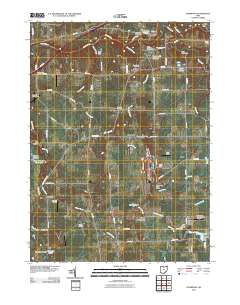
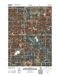
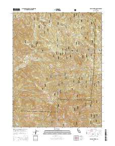
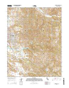
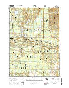
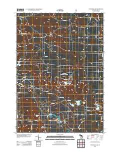
Layered GeoPDF 7.5 Minute Quadrangle Map. Layers of geospatial data include orthoimagery, roads, grids, geographic names, elevation contours, hydrography, and other selected map features.
Layered GeoPDF 7.5 Minute Quadrangle Map. Layers of geospatial data include orthoimagery, roads, grids, geographic names, elevation contours, hydrography, and other selected map features.
Layered GeoPDF 7.5 Minute Quadrangle Map. Layers of geospatial data include orthoimagery, roads, grids, geographic names, elevation contours, hydrography, and other selected map features.
Layered GeoPDF 7.5 Minute Quadrangle Map. Layers of geospatial data include orthoimagery, roads, grids, geographic names, elevation contours, hydrography, and other selected map features.
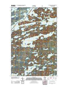
Layered GeoPDF 7.5 Minute Quadrangle Map. Layers of geospatial data include orthoimagery, roads, grids, geographic names, elevation contours, hydrography, and other selected map features.
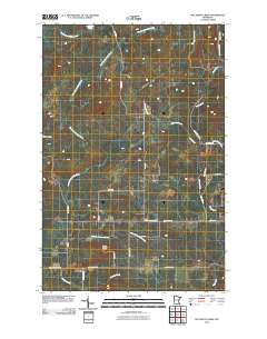
Layered GeoPDF 7.5 Minute Quadrangle Map. Layers of geospatial data include orthoimagery, roads, grids, geographic names, elevation contours, hydrography, and other selected map features.
Layered GeoPDF 7.5 Minute Quadrangle Map. Layers of geospatial data include orthoimagery, roads, grids, geographic names, elevation contours, hydrography, and other selected map features.
Layered GeoPDF 7.5 Minute Quadrangle Map. Layers of geospatial data include orthoimagery, roads, grids, geographic names, elevation contours, hydrography, and other selected map features.
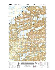
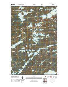
Layered GeoPDF 7.5 Minute Quadrangle Map. Layers of geospatial data include orthoimagery, roads, grids, geographic names, elevation contours, hydrography, and other selected map features.
Layered GeoPDF 7.5 Minute Quadrangle Map. Layers of geospatial data include orthoimagery, roads, grids, geographic names, elevation contours, hydrography, and other selected map features.
Layered geospatial PDF Map. Layers of geospatial data include orthoimagery, roads, grids, geographic names, elevation contours, hydrography, and other selected map features.
Layered GeoPDF 7.5 Minute Quadrangle Map. Layers of geospatial data include orthoimagery, roads, grids, geographic names, elevation contours, hydrography, and other selected map features.
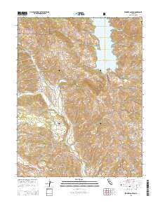
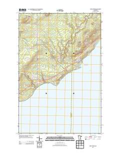
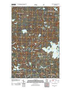
Layered GeoPDF 7.5 Minute Quadrangle Map. Layers of geospatial data include orthoimagery, roads, grids, geographic names, elevation contours, hydrography, and other selected map features.
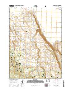
Layered GeoPDF 7.5 Minute Quadrangle Map. Layers of geospatial data include orthoimagery, roads, grids, geographic names, elevation contours, hydrography, and other selected map features.
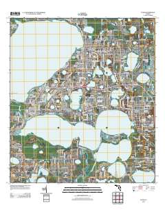
Layered GeoPDF 7.5 Minute Quadrangle Map. Layers of geospatial data include orthoimagery, roads, grids, geographic names, elevation contours, hydrography, and other selected map features.
|

|
