Filters: Tags: portland (X)
106 results (95ms)|
Filters
Date Range
Types Contacts
Categories Tag Types
|

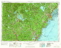
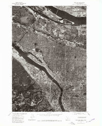
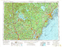
USGS Historical Quadrangle in GeoPDF.
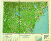
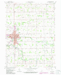
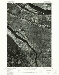
USGS Historical Quadrangle in GeoPDF.
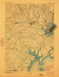
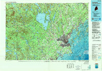
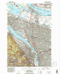
USGS Historical Quadrangle in GeoPDF.
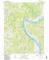
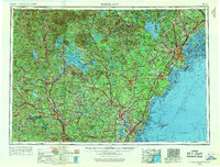
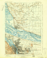
USGS Historical Quadrangle in GeoPDF.
This archive documents five 30-year SUTRA simulations summarized in Burns at al. (2020), and provides output from one short (2-year) simulation to allow verification that the archive model code runs properly. A modified version of SUTRA 2.2 was used to evaluate Reservoir Thermal Energy Storage by simulating layered system conditions (grid spacing varies depending on simulation run time to prevent boundary effects). This version of SUTRA is summarized in Burns et al. (2015), but in short, the primary differences from the current public-release version (v3) are that cell-by-cell thermal and hydraulic properties can be defined (allowing representation of the layered Portland system) and viscosity and density of water...
This data release consists of high quality georeferenced orthophoto mosaics of a 160 kilometer long portion of the Columbia River between Portland and The Dalles, Oregon created from aerial photographs collected in 1935 by the U.S. Army Corps of Engineers. The dataset comprises three GeoTIFF files, each covering about 40-60 kilometers. This metadata document summarizes the entire data release. See attached metadata records for information on the individual mosaics.
Digital flood-inundation maps for a 6.5-mile reach of the Salamonie River at Portland, Indiana, were created by the U.S. Geological Survey (USGS) in cooperation with the Indiana Department of Transportation. The flood-inundation maps, which can be accessed through the USGS Flood Inundation Mapping Science website at https://water.usgs.gov/osw/flood_inundation/, depict estimates of the areal extent and depth of flooding corresponding to selected water levels (stages) at the USGS streamgage on the Salamonie River at Portland, Indiana (station 03324200). Near-real-time stages at this streamgage may be obtained from the USGS National Water Information System web interface at https://doi.org/10.5066/F7P55KJN or the National...
USGS Historical Quadrangle in GeoPDF.
USGS Historical Quadrangle in GeoPDF.
USGS Historical Quadrangle in GeoPDF.
USGS Historical Quadrangle in GeoPDF.
USGS Historical Quadrangle in GeoPDF.
USGS Historical Quadrangle in GeoPDF.

USGS Historical Quadrangle in GeoPDF.

USGS Historical Quadrangle in GeoPDF.

USGS Historical Quadrangle in GeoPDF.
Digital flood-inundation maps for a 6.5-mile reach of the Salamonie River at Portland, Indiana, were created by the U.S. Geological Survey (USGS) in cooperation with the Indiana Department of Transportation. The flood-inundation maps, which can be accessed through the USGS Flood Inundation Mapping Science website at https://water.usgs.gov/osw/flood_inundation/, depict estimates of the areal extent and depth of flooding corresponding to selected water levels (stages) at the USGS streamgage on the Salamonie River at Portland, Indiana (station 03324200). Near-real-time stages at this streamgage may be obtained from the USGS National Water Information System web interface at https://doi.org/10.5066/F7P55KJN or the National...
USGS Historical Quadrangle in GeoPDF.
USGS Historical Quadrangle in GeoPDF.
USGS Historical Quadrangle in GeoPDF.
|

|
