Filters
Date Range
Extensions
Types
Contacts
Categories
Tag Types
Tag Schemes
|
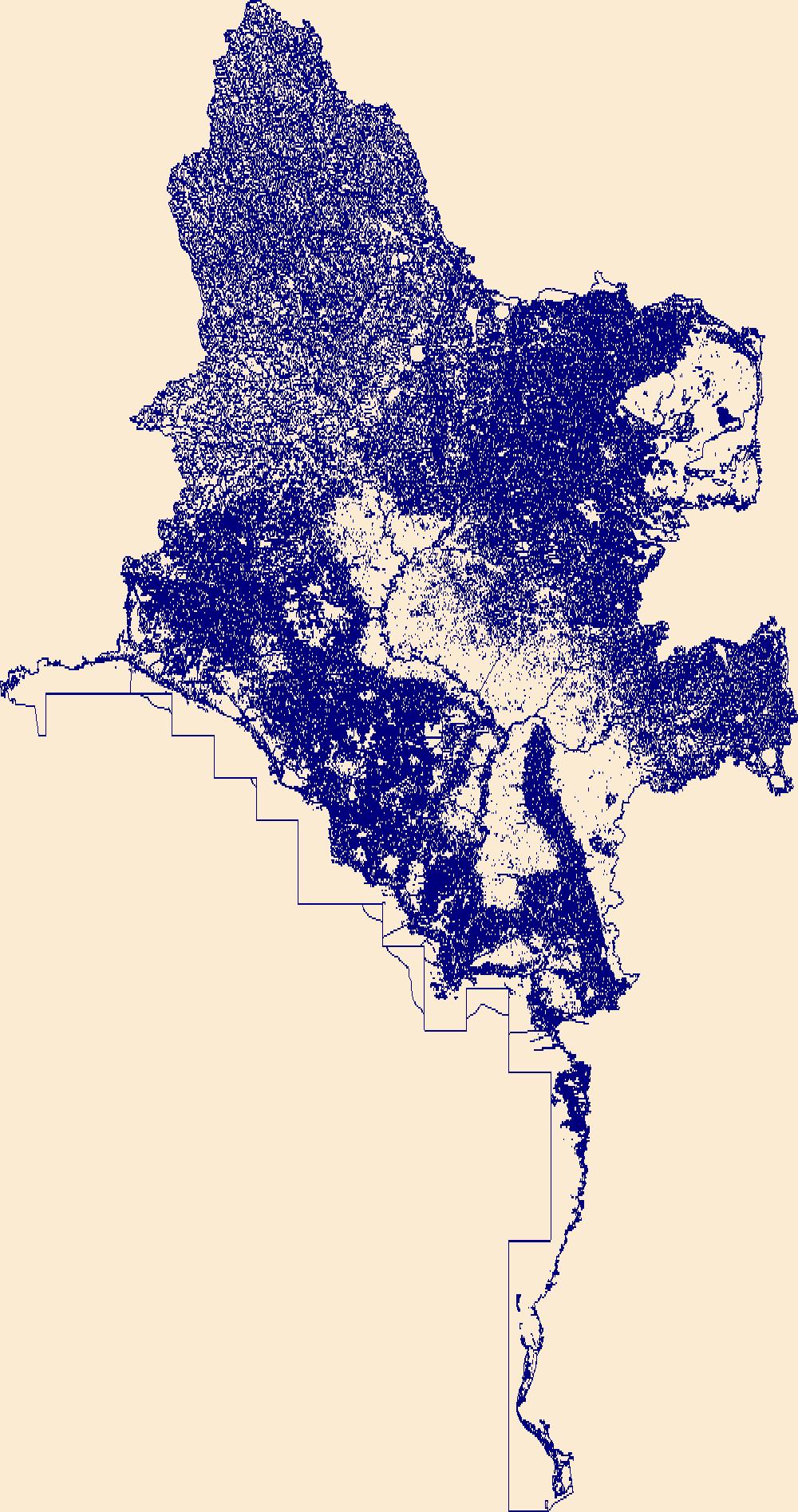
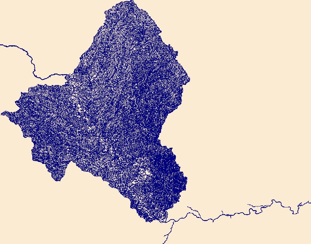
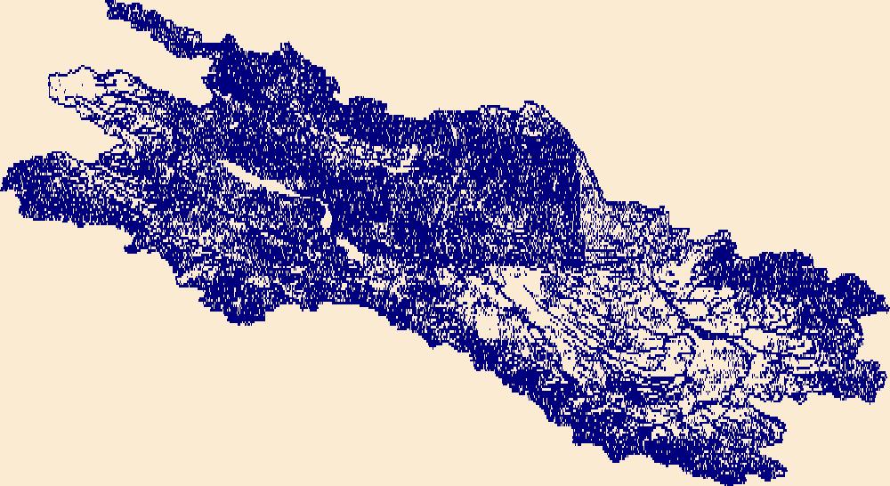
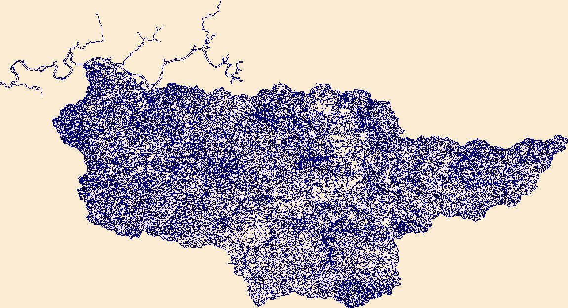
The High Resolution National Hydrography Dataset Plus (NHDPlus HR) is an integrated set of geospatial data layers, including the best available National Hydrography Dataset (NHD), the 10-meter 3D Elevation Program Digital Elevation Model (3DEP DEM), and the National Watershed Boundary Dataset (WBD). The NHDPlus HR combines the NHD, 3DEP DEMs, and WBD to create a stream network with linear referencing, feature naming, "value added attributes" (VAAs), elevation-derived catchments, and other features for hydrologic data analysis. The stream network with linear referencing is a system of data relationships applied to hydrographic systems so that one stream reach "flows" into another and "events" can be tied to and traced...
Tags: AlachuaCounty,
AtkinsonCounty,
BakerCounty,
Ben HillCounty,
BerrienCounty, All tags...
BradfordCounty,
BrantleyCounty,
BrooksCounty,
CharltonCounty,
ClayCounty,
ClinchCounty,
CoffeeCounty,
ColquittCounty,
ColumbiaCounty,
CookCounty,
CrispCounty,
DixieCounty,
DoolyCounty,
Downloadable Data,
EcholsCounty,
FL,
FileGDB,
FileGDB 10.1,
Florida,
GilchristCounty,
HU-4 Subregion,
HU-4 Subregion,
HamiltonCounty,
Hydrography,
IrwinCounty,
JeffersonCounty,
LafayetteCounty,
LanierCounty,
LevyCounty,
LowndesCounty,
MadisonCounty,
MarionCounty,
NHDPlus HR Rasters,
NHDPlus High Resolution (NHDPlus HR),
National Hydrography Dataset (NHD),
National Hydrography Dataset Plus High Resolution (NHDPlus HR),
National Hydrography Dataset Plus High Resolution (NHDPlus HR) Current,
PutnamCounty,
SuwanneeCounty,
TaylorCounty,
ThomasCounty,
TiftCounty,
TurnerCounty,
US,
UnionCounty,
United States,
WareCounty,
WilcoxCounty,
WorthCounty,
base maps,
cartography,
catchments,
channels,
digital elevation models,
drainage basins,
earth sciences,
elevation,
environment,
geographic information systems,
geoscientific,
geospatial analysis,
hydrographic datasets,
hydrographic features,
hydrology,
imagery,
inland waters,
lakes,
land surface characteristics,
reservoirs,
river reaches,
rivers,
streamflow,
streamflow data,
streams,
topography,
water bodies,
water quality,
water resources,
watersheds, Fewer tags
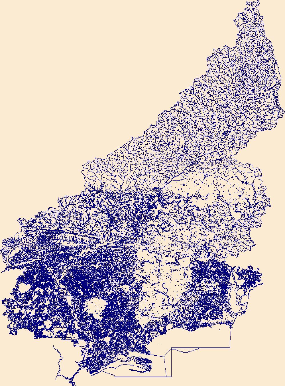
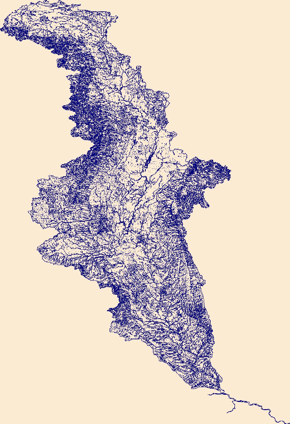
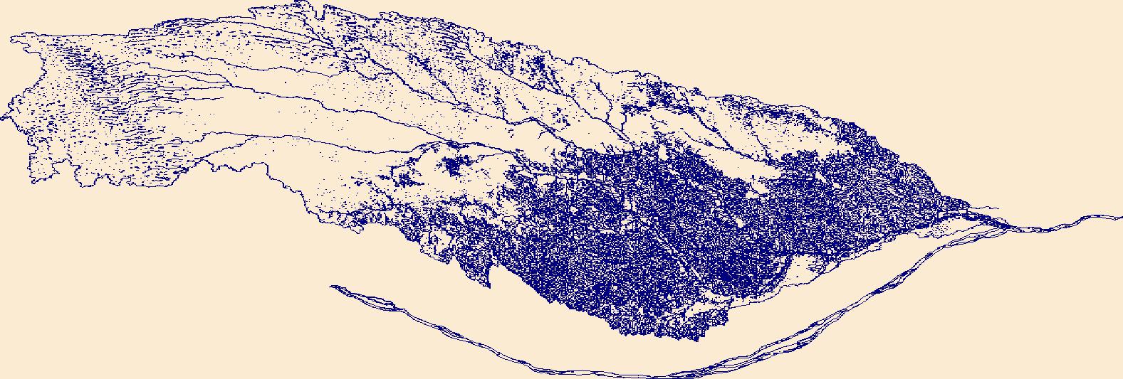
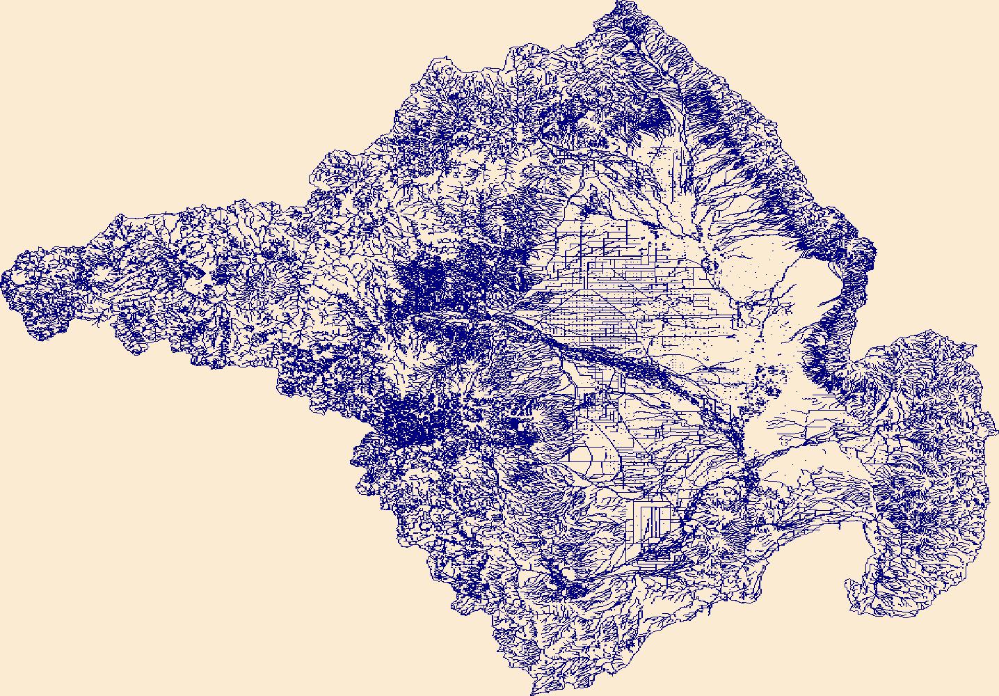
The High Resolution National Hydrography Dataset Plus (NHDPlus HR) is an integrated set of geospatial data layers, including the best available National Hydrography Dataset (NHD), the 10-meter 3D Elevation Program Digital Elevation Model (3DEP DEM), and the National Watershed Boundary Dataset (WBD). The NHDPlus HR combines the NHD, 3DEP DEMs, and WBD to create a stream network with linear referencing, feature naming, "value added attributes" (VAAs), elevation-derived catchments, and other features for hydrologic data analysis. The stream network with linear referencing is a system of data relationships applied to hydrographic systems so that one stream reach "flows" into another and "events" can be tied to and traced...
Tags: ColquittCounty,
DecaturCounty,
Downloadable Data,
FileGDB,
FileGDB 10.1, All tags...
FranklinCounty,
GA,
GadsdenCounty,
Georgia,
GradyCounty,
HU-4 Subregion,
HU-4 Subregion,
Hydrography,
JeffersonCounty,
LeonCounty,
LibertyCounty,
MitchellCounty,
NHDPlus HR Rasters,
NHDPlus High Resolution (NHDPlus HR),
National Hydrography Dataset (NHD),
National Hydrography Dataset Plus High Resolution (NHDPlus HR),
National Hydrography Dataset Plus High Resolution (NHDPlus HR) Current,
ThomasCounty,
US,
United States,
WakullaCounty,
WorthCounty,
base maps,
cartography,
catchments,
channels,
digital elevation models,
drainage basins,
earth sciences,
elevation,
environment,
geographic information systems,
geoscientific,
geospatial analysis,
hydrographic datasets,
hydrographic features,
hydrology,
imagery,
inland waters,
lakes,
land surface characteristics,
reservoirs,
river reaches,
rivers,
streamflow,
streamflow data,
streams,
topography,
water bodies,
water quality,
water resources,
watersheds, Fewer tags
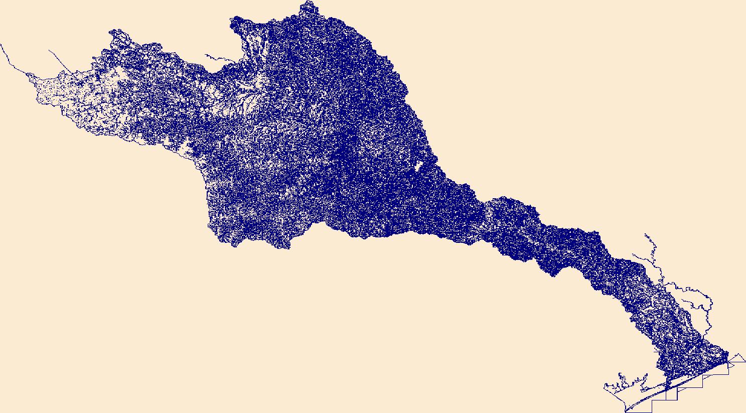
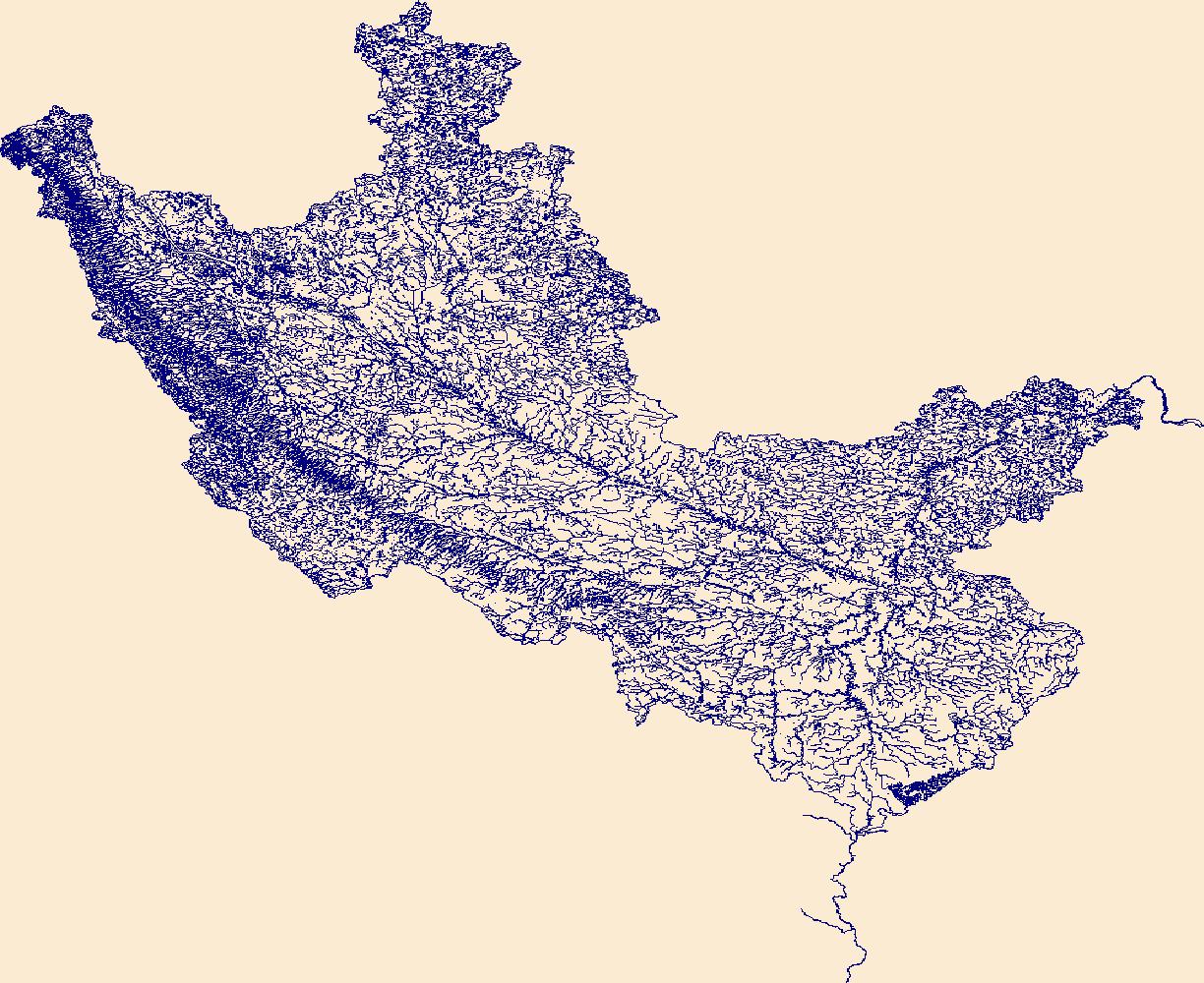
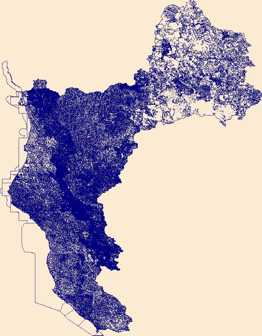
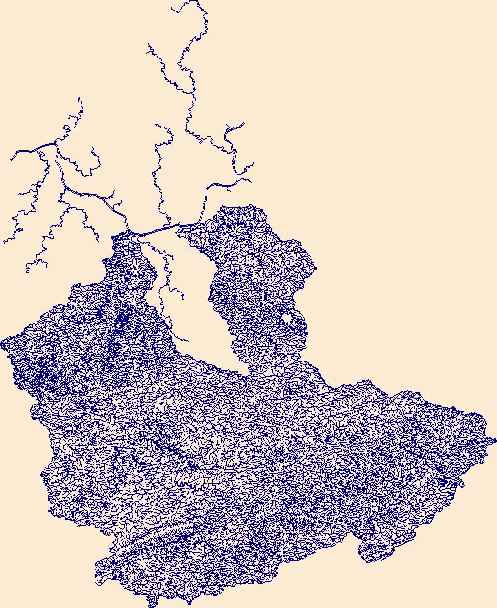
The High Resolution National Hydrography Dataset Plus (NHDPlus HR) is an integrated set of geospatial data layers, including the best available National Hydrography Dataset (NHD), the 10-meter 3D Elevation Program Digital Elevation Model (3DEP DEM), and the National Watershed Boundary Dataset (WBD). The NHDPlus HR combines the NHD, 3DEP DEMs, and WBD to create a stream network with linear referencing, feature naming, "value added attributes" (VAAs), elevation-derived catchments, and other features for hydrologic data analysis. The stream network with linear referencing is a system of data relationships applied to hydrographic systems so that one stream reach "flows" into another and "events" can be tied to and traced...
Tags: Austin County,
Bastrop County,
Blanco County,
Brazoria County,
Brown County, All tags...
Burnet County,
Caldwell County,
Callahan County,
Coke County,
Coleman County,
Colorado County,
Comanche County,
Concho County,
Crockett County,
Downloadable Data,
Eastland County,
Edwards County,
Fayette County,
FileGDB,
FileGDB 10.1,
Fort Bend County,
Gillespie County,
Glasscock County,
HU-4 Subregion,
HU-4 Subregion,
HU4_1209,
Hays County,
Howard County,
Hydrography,
Irion County,
Kendall County,
Kerr County,
Kimble County,
Lampasas County,
Lee County,
Llano County,
Mason County,
Matagorda County,
McCulloch County,
Menard County,
Midland County,
Mills County,
NHDPlus HR Rasters,
NHDPlus High Resolution (NHDPlus HR),
National Hydrography Dataset (NHD),
National Hydrography Dataset Plus High Resolution (NHDPlus HR),
National Hydrography Dataset Plus High Resolution (NHDPlus HR) Current,
Nolan County,
Reagan County,
Real County,
Runnels County,
San Saba County,
Schleicher County,
Sterling County,
Sutton County,
TX,
Taylor County,
Texas,
Tom Green County,
Travis County,
US,
United States,
Upton County,
Washington County,
Wharton County,
Williamson County,
base maps,
cartography,
catchments,
channels,
digital elevation models,
drainage basins,
earth sciences,
elevation,
environment,
geographic information systems,
geoscientific,
geospatial analysis,
hydrographic datasets,
hydrographic features,
hydrology,
imagery,
inland waters,
lakes,
land surface characteristics,
reservoirs,
river reaches,
rivers,
streamflow,
streamflow data,
streams,
topography,
water bodies,
water quality,
water resources,
watersheds, Fewer tags
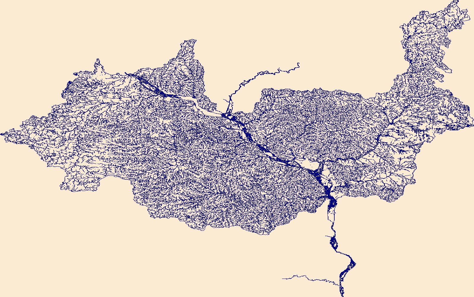
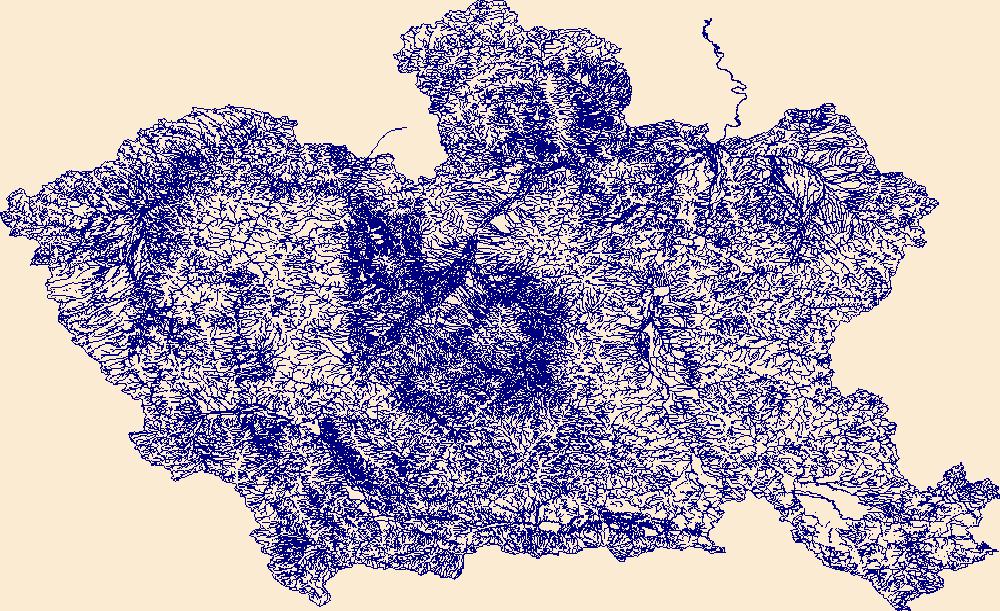
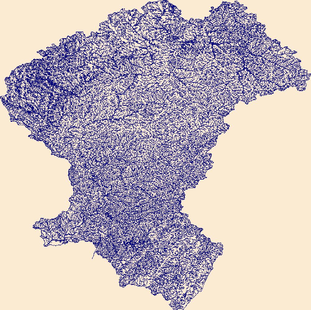
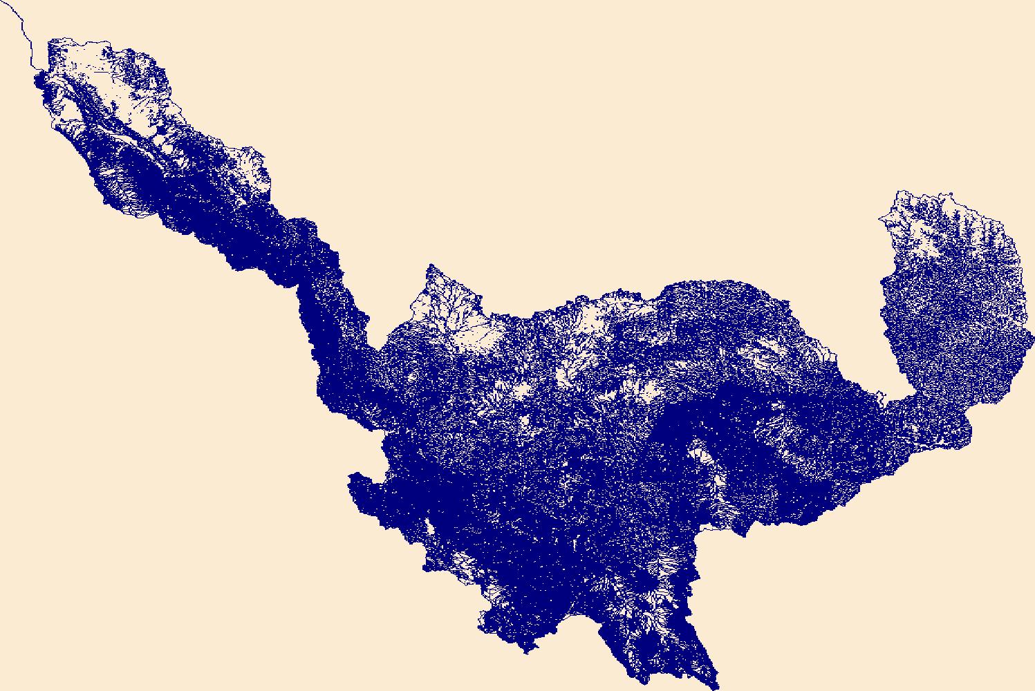
The High Resolution National Hydrography Dataset Plus (NHDPlus HR) is an integrated set of geospatial data layers, including the best available National Hydrography Dataset (NHD), the 10-meter 3D Elevation Program Digital Elevation Model (3DEP DEM), and the National Watershed Boundary Dataset (WBD). The NHDPlus HR combines the NHD, 3DEP DEMs, and WBD to create a stream network with linear referencing, feature naming, "value added attributes" (VAAs), elevation-derived catchments, and other features for hydrologic data analysis. The stream network with linear referencing is a system of data relationships applied to hydrographic systems so that one stream reach "flows" into another and "events" can be tied to and traced...
Tags: Blue EarthCounty,
BuffaloCounty,
ClarkCounty,
DakotaCounty,
DodgeCounty, All tags...
Downloadable Data,
Eau ClaireCounty,
FileGDB,
FileGDB 10.1,
FillmoreCounty,
FreebornCounty,
GoodhueCounty,
HU-4 Subregion,
HU-4 Subregion,
HoustonCounty,
Hydrography,
JacksonCounty,
La CrosseCounty,
Le SueurCounty,
MarathonCounty,
MonroeCounty,
MowerCounty,
NHDPlus HR Rasters,
NHDPlus High Resolution (NHDPlus HR),
National Hydrography Dataset (NHD),
National Hydrography Dataset Plus High Resolution (NHDPlus HR),
National Hydrography Dataset Plus High Resolution (NHDPlus HR) Current,
OlmstedCounty,
PepinCounty,
PierceCounty,
RiceCounty,
ScottCounty,
St. CroixCounty,
SteeleCounty,
TaylorCounty,
TrempealeauCounty,
US,
United States,
WI,
WabashaCounty,
WasecaCounty,
WashingtonCounty,
WinneshiekCounty,
WinonaCounty,
Wisconsin,
WoodCounty,
base maps,
cartography,
catchments,
channels,
digital elevation models,
drainage basins,
earth sciences,
elevation,
environment,
geographic information systems,
geoscientific,
geospatial analysis,
hydrographic datasets,
hydrographic features,
hydrology,
imagery,
inland waters,
lakes,
land surface characteristics,
reservoirs,
river reaches,
rivers,
streamflow,
streamflow data,
streams,
topography,
water bodies,
water quality,
water resources,
watersheds, Fewer tags
The High Resolution National Hydrography Dataset Plus (NHDPlus HR) is an integrated set of geospatial data layers, including the best available National Hydrography Dataset (NHD), the 10-meter 3D Elevation Program Digital Elevation Model (3DEP DEM), and the National Watershed Boundary Dataset (WBD). The NHDPlus HR combines the NHD, 3DEP DEMs, and WBD to create a stream network with linear referencing, feature naming, "value added attributes" (VAAs), elevation-derived catchments, and other features for hydrologic data analysis. The stream network with linear referencing is a system of data relationships applied to hydrographic systems so that one stream reach "flows" into another and "events" can be tied to and traced...
Tags: AdairCounty,
AdamsCounty,
AndrewCounty,
AtchisonCounty,
AtchisonCounty, All tags...
AudubonCounty,
BrownCounty,
BuchananCounty,
CarrollCounty,
CassCounty,
CassCounty,
ClayCounty,
ClintonCounty,
CrawfordCounty,
DeKalbCounty,
DoniphanCounty,
Downloadable Data,
FileGDB,
FileGDB 10.1,
FremontCounty,
GageCounty,
GentryCounty,
GuthrieCounty,
HU-4 Subregion,
HU-4 Subregion,
HarrisonCounty,
HoltCounty,
Hydrography,
JohnsonCounty,
LancasterCounty,
LeavenworthCounty,
MO,
MarshallCounty,
MillsCounty,
Missouri,
MontgomeryCounty,
NHDPlus HR Rasters,
NHDPlus High Resolution (NHDPlus HR),
National Hydrography Dataset (NHD),
National Hydrography Dataset Plus High Resolution (NHDPlus HR),
National Hydrography Dataset Plus High Resolution (NHDPlus HR) Current,
NemahaCounty,
NemahaCounty,
NodawayCounty,
OtoeCounty,
PageCounty,
PawneeCounty,
PlatteCounty,
PottawattamieCounty,
RichardsonCounty,
RinggoldCounty,
SarpyCounty,
ShelbyCounty,
TaylorCounty,
US,
UnionCounty,
United States,
WorthCounty,
WyandotteCounty,
base maps,
cartography,
catchments,
channels,
digital elevation models,
drainage basins,
earth sciences,
elevation,
environment,
geographic information systems,
geoscientific,
geospatial analysis,
hydrographic datasets,
hydrographic features,
hydrology,
imagery,
inland waters,
lakes,
land surface characteristics,
reservoirs,
river reaches,
rivers,
streamflow,
streamflow data,
streams,
topography,
water bodies,
water quality,
water resources,
watersheds, Fewer tags
The High Resolution National Hydrography Dataset Plus (NHDPlus HR) is an integrated set of geospatial data layers, including the best available National Hydrography Dataset (NHD), the 10-meter 3D Elevation Program Digital Elevation Model (3DEP DEM), and the National Watershed Boundary Dataset (WBD). The NHDPlus HR combines the NHD, 3DEP DEMs, and WBD to create a stream network with linear referencing, feature naming, "value added attributes" (VAAs), elevation-derived catchments, and other features for hydrologic data analysis. The stream network with linear referencing is a system of data relationships applied to hydrographic systems so that one stream reach "flows" into another and "events" can be tied to and traced...
Tags: AuroraCounty,
BarnesCounty,
BeadleCounty,
Bon HommeCounty,
BrownCounty, All tags...
ClarkCounty,
DavisonCounty,
DayCounty,
DickeyCounty,
DouglasCounty,
Downloadable Data,
EddyCounty,
EdmundsCounty,
FaulkCounty,
FileGDB,
FileGDB 10.1,
FosterCounty,
HU-4 Subregion,
HU-4 Subregion,
HandCounty,
HansonCounty,
HutchinsonCounty,
HydeCounty,
Hydrography,
JerauldCounty,
KidderCounty,
KingsburyCounty,
LaMoureCounty,
LoganCounty,
MarshallCounty,
McCookCounty,
McIntoshCounty,
McPhersonCounty,
MinerCounty,
NHDPlus HR Rasters,
NHDPlus High Resolution (NHDPlus HR),
National Hydrography Dataset (NHD),
National Hydrography Dataset Plus High Resolution (NHDPlus HR),
National Hydrography Dataset Plus High Resolution (NHDPlus HR) Current,
PotterCounty,
RansomCounty,
RobertsCounty,
SD,
SanbornCounty,
SargentCounty,
SheridanCounty,
South Dakota,
SpinkCounty,
StutsmanCounty,
TurnerCounty,
US,
United States,
WalworthCounty,
WellsCounty,
YanktonCounty,
base maps,
cartography,
catchments,
channels,
digital elevation models,
drainage basins,
earth sciences,
elevation,
environment,
geographic information systems,
geoscientific,
geospatial analysis,
hydrographic datasets,
hydrographic features,
hydrology,
imagery,
inland waters,
lakes,
land surface characteristics,
reservoirs,
river reaches,
rivers,
streamflow,
streamflow data,
streams,
topography,
water bodies,
water quality,
water resources,
watersheds, Fewer tags
The High Resolution National Hydrography Dataset Plus (NHDPlus HR) is an integrated set of geospatial data layers, including the best available National Hydrography Dataset (NHD), the 10-meter 3D Elevation Program Digital Elevation Model (3DEP DEM), and the National Watershed Boundary Dataset (WBD). The NHDPlus HR combines the NHD, 3DEP DEMs, and WBD to create a stream network with linear referencing, feature naming, "value added attributes" (VAAs), elevation-derived catchments, and other features for hydrologic data analysis. The stream network with linear referencing is a system of data relationships applied to hydrographic systems so that one stream reach "flows" into another and "events" can be tied to and traced...
Tags: Big StoneCounty,
Blue EarthCounty,
BrookingsCounty,
BrownCounty,
CarverCounty, All tags...
ChippewaCounty,
CodingtonCounty,
CottonwoodCounty,
DakotaCounty,
DayCounty,
DeuelCounty,
DouglasCounty,
Downloadable Data,
EmmetCounty,
FaribaultCounty,
FileGDB,
FileGDB 10.1,
FreebornCounty,
GrantCounty,
GrantCounty,
HU-4 Subregion,
HU-4 Subregion,
HennepinCounty,
Hydrography,
JacksonCounty,
KandiyohiCounty,
KossuthCounty,
Lac qui ParleCounty,
Le SueurCounty,
LincolnCounty,
LyonCounty,
MN,
MarshallCounty,
MartinCounty,
McLeodCounty,
Minnesota,
MurrayCounty,
NHDPlus HR Rasters,
NHDPlus High Resolution (NHDPlus HR),
National Hydrography Dataset (NHD),
National Hydrography Dataset Plus High Resolution (NHDPlus HR),
National Hydrography Dataset Plus High Resolution (NHDPlus HR) Current,
NicolletCounty,
Otter TailCounty,
PipestoneCounty,
PopeCounty,
RamseyCounty,
RedwoodCounty,
RenvilleCounty,
RiceCounty,
RichlandCounty,
RobertsCounty,
ScottCounty,
SibleyCounty,
StearnsCounty,
SteeleCounty,
StevensCounty,
SwiftCounty,
TraverseCounty,
US,
United States,
WasecaCounty,
WatonwanCounty,
WinnebagoCounty,
Yellow MedicineCounty,
base maps,
cartography,
catchments,
channels,
digital elevation models,
drainage basins,
earth sciences,
elevation,
environment,
geographic information systems,
geoscientific,
geospatial analysis,
hydrographic datasets,
hydrographic features,
hydrology,
imagery,
inland waters,
lakes,
land surface characteristics,
reservoirs,
river reaches,
rivers,
streamflow,
streamflow data,
streams,
topography,
water bodies,
water quality,
water resources,
watersheds, Fewer tags
The High Resolution National Hydrography Dataset Plus (NHDPlus HR) is an integrated set of geospatial data layers, including the best available National Hydrography Dataset (NHD), the 10-meter 3D Elevation Program Digital Elevation Model (3DEP DEM), and the National Watershed Boundary Dataset (WBD). The NHDPlus HR combines the NHD, 3DEP DEMs, and WBD to create a stream network with linear referencing, feature naming, "value added attributes" (VAAs), elevation-derived catchments, and other features for hydrologic data analysis. The stream network with linear referencing is a system of data relationships applied to hydrographic systems so that one stream reach "flows" into another and "events" can be tied to and traced...
Tags: BeaverheadCounty,
BroadwaterCounty,
ClarkCounty,
Deer LodgeCounty,
Downloadable Data, All tags...
FileGDB,
FileGDB 10.1,
FremontCounty,
GallatinCounty,
GraniteCounty,
HU-4 Subregion,
HU-4 Subregion,
Hydrography,
ID,
Idaho,
JeffersonCounty,
LemhiCounty,
Lewis and ClarkCounty,
MadisonCounty,
NHDPlus HR Rasters,
NHDPlus High Resolution (NHDPlus HR),
National Hydrography Dataset (NHD),
National Hydrography Dataset Plus High Resolution (NHDPlus HR),
National Hydrography Dataset Plus High Resolution (NHDPlus HR) Current,
ParkCounty,
ParkCounty,
PowellCounty,
RavalliCounty,
Silver BowCounty,
TetonCounty,
US,
United States,
base maps,
cartography,
catchments,
channels,
digital elevation models,
drainage basins,
earth sciences,
elevation,
environment,
geographic information systems,
geoscientific,
geospatial analysis,
hydrographic datasets,
hydrographic features,
hydrology,
imagery,
inland waters,
lakes,
land surface characteristics,
reservoirs,
river reaches,
rivers,
streamflow,
streamflow data,
streams,
topography,
water bodies,
water quality,
water resources,
watersheds, Fewer tags
The High Resolution National Hydrography Dataset Plus (NHDPlus HR) is an integrated set of geospatial data layers, including the best available National Hydrography Dataset (NHD), the 10-meter 3D Elevation Program Digital Elevation Model (3DEP DEM), and the National Watershed Boundary Dataset (WBD). The NHDPlus HR combines the NHD, 3DEP DEMs, and WBD to create a stream network with linear referencing, feature naming, "value added attributes" (VAAs), elevation-derived catchments, and other features for hydrologic data analysis. The stream network with linear referencing is a system of data relationships applied to hydrographic systems so that one stream reach "flows" into another and "events" can be tied to and traced...
Tags: Benson County,
Bottineau County,
Burke County,
Divide County,
Downloadable Data, All tags...
FileGDB,
FileGDB 10.1,
HU-4 Subregion,
HU-4 Subregion,
HU4_0901,
Hydrography,
McHenry County,
McLean County,
Mountrail County,
ND,
NHDPlus HR Rasters,
NHDPlus High Resolution (NHDPlus HR),
National Hydrography Dataset (NHD),
National Hydrography Dataset Plus High Resolution (NHDPlus HR),
National Hydrography Dataset Plus High Resolution (NHDPlus HR) Current,
North Dakota,
Pierce County,
Renville County,
Rolette County,
Sheridan County,
US,
United States,
Ward County,
base maps,
cartography,
catchments,
channels,
digital elevation models,
drainage basins,
earth sciences,
elevation,
environment,
geographic information systems,
geoscientific,
geospatial analysis,
hydrographic datasets,
hydrographic features,
hydrology,
imagery,
inland waters,
lakes,
land surface characteristics,
reservoirs,
river reaches,
rivers,
streamflow,
streamflow data,
streams,
topography,
water bodies,
water quality,
water resources,
watersheds, Fewer tags
The High Resolution National Hydrography Dataset Plus (NHDPlus HR) is an integrated set of geospatial data layers, including the best available National Hydrography Dataset (NHD), the 10-meter 3D Elevation Program Digital Elevation Model (3DEP DEM), and the National Watershed Boundary Dataset (WBD). The NHDPlus HR combines the NHD, 3DEP DEMs, and WBD to create a stream network with linear referencing, feature naming, "value added attributes" (VAAs), elevation-derived catchments, and other features for hydrologic data analysis. The stream network with linear referencing is a system of data relationships applied to hydrographic systems so that one stream reach "flows" into another and "events" can be tied to and traced...
Tags: AntelopeCounty,
ArthurCounty,
BlaineCounty,
BooneCounty,
BrownCounty, All tags...
BuffaloCounty,
CherryCounty,
CusterCounty,
DawsonCounty,
Downloadable Data,
FileGDB,
FileGDB 10.1,
GardenCounty,
GarfieldCounty,
GrantCounty,
GreeleyCounty,
HU-4 Subregion,
HU-4 Subregion,
HallCounty,
HoltCounty,
HookerCounty,
HowardCounty,
Hydrography,
LincolnCounty,
LoganCounty,
LoupCounty,
McPhersonCounty,
MerrickCounty,
NE,
NHDPlus HR Rasters,
NHDPlus High Resolution (NHDPlus HR),
NanceCounty,
National Hydrography Dataset (NHD),
National Hydrography Dataset Plus High Resolution (NHDPlus HR),
National Hydrography Dataset Plus High Resolution (NHDPlus HR) Current,
Nebraska,
PlatteCounty,
RockCounty,
SheridanCounty,
ShermanCounty,
ThomasCounty,
US,
United States,
ValleyCounty,
WheelerCounty,
base maps,
cartography,
catchments,
channels,
digital elevation models,
drainage basins,
earth sciences,
elevation,
environment,
geographic information systems,
geoscientific,
geospatial analysis,
hydrographic datasets,
hydrographic features,
hydrology,
imagery,
inland waters,
lakes,
land surface characteristics,
reservoirs,
river reaches,
rivers,
streamflow,
streamflow data,
streams,
topography,
water bodies,
water quality,
water resources,
watersheds, Fewer tags

The High Resolution National Hydrography Dataset Plus (NHDPlus HR) is an integrated set of geospatial data layers, including the best available National Hydrography Dataset (NHD), the 10-meter 3D Elevation Program Digital Elevation Model (3DEP DEM), and the National Watershed Boundary Dataset (WBD). The NHDPlus HR combines the NHD, 3DEP DEMs, and WBD to create a stream network with linear referencing, feature naming, "value added attributes" (VAAs), elevation-derived catchments, and other features for hydrologic data analysis. The stream network with linear referencing is a system of data relationships applied to hydrographic systems so that one stream reach "flows" into another and "events" can be tied to and traced...
Tags: Alexander County,
Ballard County,
Bollinger County,
Bond County,
Cape Girardeau County, All tags...
Champaign County,
Christian County,
Clinton County,
Coles County,
Crawford County,
Dent County,
Douglas County,
Downloadable Data,
Effingham County,
Fayette County,
FileGDB,
FileGDB 10.1,
Franklin County,
Franklin County,
Gasconade County,
HU-4 Subregion,
HU-4 Subregion,
HU4_0714,
Hamilton County,
Hydrography,
IL,
Illinois,
Iron County,
Jackson County,
Jefferson County,
Jefferson County,
Johnson County,
KY,
Kentucky,
MO,
Macon County,
Macoupin County,
Madison County,
Madison County,
Maries County,
Marion County,
Mississippi County,
Missouri,
Monroe County,
Montgomery County,
Moultrie County,
NHDPlus HR Rasters,
NHDPlus High Resolution (NHDPlus HR),
National Hydrography Dataset (NHD),
National Hydrography Dataset Plus High Resolution (NHDPlus HR),
National Hydrography Dataset Plus High Resolution (NHDPlus HR) Current,
Osage County,
Perry County,
Perry County,
Phelps County,
Piatt County,
Pulaski County,
Randolph County,
Reynolds County,
Scott County,
Shelby County,
St. Clair County,
St. Francois County,
St. Louis County,
St. Louis County,
Ste. Genevieve County,
Texas County,
US,
Union County,
United States,
Washington County,
Washington County,
Wayne County,
Williamson County,
base maps,
cartography,
catchments,
channels,
digital elevation models,
drainage basins,
earth sciences,
elevation,
environment,
geographic information systems,
geoscientific,
geospatial analysis,
hydrographic datasets,
hydrographic features,
hydrology,
imagery,
inland waters,
lakes,
land surface characteristics,
reservoirs,
river reaches,
rivers,
streamflow,
streamflow data,
streams,
topography,
water bodies,
water quality,
water resources,
watersheds, Fewer tags
The High Resolution National Hydrography Dataset Plus (NHDPlus HR) is an integrated set of geospatial data layers, including the best available National Hydrography Dataset (NHD), the 10-meter 3D Elevation Program Digital Elevation Model (3DEP DEM), and the National Watershed Boundary Dataset (WBD). The NHDPlus HR combines the NHD, 3DEP DEMs, and WBD to create a stream network with linear referencing, feature naming, "value added attributes" (VAAs), elevation-derived catchments, and other features for hydrologic data analysis. The stream network with linear referencing is a system of data relationships applied to hydrographic systems so that one stream reach "flows" into another and "events" can be tied to and traced...
Tags: CA,
California,
ColusaCounty,
CurryCounty,
Del NorteCounty, All tags...
DouglasCounty,
Downloadable Data,
FileGDB,
FileGDB 10.1,
GlennCounty,
HU-4 Subregion,
HU-4 Subregion,
HumboldtCounty,
Hydrography,
JacksonCounty,
JosephineCounty,
KlamathCounty,
LakeCounty,
LakeCounty,
MarinCounty,
MendocinoCounty,
ModocCounty,
NHDPlus HR Rasters,
NHDPlus High Resolution (NHDPlus HR),
NapaCounty,
National Hydrography Dataset (NHD),
National Hydrography Dataset Plus High Resolution (NHDPlus HR),
National Hydrography Dataset Plus High Resolution (NHDPlus HR) Current,
ShastaCounty,
SiskiyouCounty,
SonomaCounty,
TehamaCounty,
TrinityCounty,
US,
United States,
base maps,
cartography,
catchments,
channels,
digital elevation models,
drainage basins,
earth sciences,
elevation,
environment,
geographic information systems,
geoscientific,
geospatial analysis,
hydrographic datasets,
hydrographic features,
hydrology,
imagery,
inland waters,
lakes,
land surface characteristics,
reservoirs,
river reaches,
rivers,
streamflow,
streamflow data,
streams,
topography,
water bodies,
water quality,
water resources,
watersheds, Fewer tags
The High Resolution National Hydrography Dataset Plus (NHDPlus HR) is an integrated set of geospatial data layers, including the best available National Hydrography Dataset (NHD), the 10-meter 3D Elevation Program Digital Elevation Model (3DEP DEM), and the National Watershed Boundary Dataset (WBD). The NHDPlus HR combines the NHD, 3DEP DEMs, and WBD to create a stream network with linear referencing, feature naming, "value added attributes" (VAAs), elevation-derived catchments, and other features for hydrologic data analysis. The stream network with linear referencing is a system of data relationships applied to hydrographic systems so that one stream reach "flows" into another and "events" can be tied to and traced...
Tags: Allegany County,
Allegheny County,
Armstrong County,
Bedford County,
Blair County, All tags...
Butler County,
Cambria County,
Cameron County,
Cattaraugus County,
Chautauqua County,
Clarion County,
Clearfield County,
Crawford County,
Downloadable Data,
Elk County,
Erie County,
FileGDB,
FileGDB 10.1,
Forest County,
HU-4 Subregion,
HU-4 Subregion,
HU4_0501,
Hydrography,
Indiana County,
Jefferson County,
McKean County,
Mercer County,
NHDPlus HR Rasters,
NHDPlus High Resolution (NHDPlus HR),
NY,
National Hydrography Dataset (NHD),
National Hydrography Dataset Plus High Resolution (NHDPlus HR),
National Hydrography Dataset Plus High Resolution (NHDPlus HR) Current,
New York,
PA,
Pennsylvania,
Potter County,
Somerset County,
US,
United States,
Venango County,
Warren County,
Westmoreland County,
base maps,
cartography,
catchments,
channels,
digital elevation models,
drainage basins,
earth sciences,
elevation,
environment,
geographic information systems,
geoscientific,
geospatial analysis,
hydrographic datasets,
hydrographic features,
hydrology,
imagery,
inland waters,
lakes,
land surface characteristics,
reservoirs,
river reaches,
rivers,
streamflow,
streamflow data,
streams,
topography,
water bodies,
water quality,
water resources,
watersheds, Fewer tags
The High Resolution National Hydrography Dataset Plus (NHDPlus HR) is an integrated set of geospatial data layers, including the best available National Hydrography Dataset (NHD), the 10-meter 3D Elevation Program Digital Elevation Model (3DEP DEM), and the National Watershed Boundary Dataset (WBD). The NHDPlus HR combines the NHD, 3DEP DEMs, and WBD to create a stream network with linear referencing, feature naming, "value added attributes" (VAAs), elevation-derived catchments, and other features for hydrologic data analysis. The stream network with linear referencing is a system of data relationships applied to hydrographic systems so that one stream reach "flows" into another and "events" can be tied to and traced...
Tags: Adair County,
Allen County,
Barren County,
Breckinridge County,
Butler County, All tags...
Casey County,
Christian County,
Clay County,
Daviess County,
Downloadable Data,
Edmonson County,
FileGDB,
FileGDB 10.1,
Grayson County,
Green County,
HU-4 Subregion,
HU-4 Subregion,
HU4_0511,
Hancock County,
Hardin County,
Hart County,
Henderson County,
Hopkins County,
Hydrography,
Jackson County,
KY,
Kentucky,
Larue County,
Lincoln County,
Logan County,
Macon County,
Marion County,
McLean County,
Metcalfe County,
Monroe County,
Muhlenberg County,
NHDPlus HR Rasters,
NHDPlus High Resolution (NHDPlus HR),
National Hydrography Dataset (NHD),
National Hydrography Dataset Plus High Resolution (NHDPlus HR),
National Hydrography Dataset Plus High Resolution (NHDPlus HR) Current,
Ohio County,
Pulaski County,
Robertson County,
Russell County,
Simpson County,
Sumner County,
TN,
Taylor County,
Tennessee,
Todd County,
US,
United States,
Warren County,
Webster County,
base maps,
cartography,
catchments,
channels,
digital elevation models,
drainage basins,
earth sciences,
elevation,
environment,
geographic information systems,
geoscientific,
geospatial analysis,
hydrographic datasets,
hydrographic features,
hydrology,
imagery,
inland waters,
lakes,
land surface characteristics,
reservoirs,
river reaches,
rivers,
streamflow,
streamflow data,
streams,
topography,
water bodies,
water quality,
water resources,
watersheds, Fewer tags
The High Resolution National Hydrography Dataset Plus (NHDPlus HR) is an integrated set of geospatial data layers, including the best available National Hydrography Dataset (NHD), the 10-meter 3D Elevation Program Digital Elevation Model (3DEP DEM), and the National Watershed Boundary Dataset (WBD). The NHDPlus HR combines the NHD, 3DEP DEMs, and WBD to create a stream network with linear referencing, feature naming, "value added attributes" (VAAs), elevation-derived catchments, and other features for hydrologic data analysis. The stream network with linear referencing is a system of data relationships applied to hydrographic systems so that one stream reach "flows" into another and "events" can be tied to and traced...
Tags: Alamosa County,
Archuleta County,
CO,
Chaffee County,
Colorado, All tags...
Conejos County,
Costilla County,
Custer County,
Downloadable Data,
FileGDB,
FileGDB 10.1,
Fremont County,
HU-4 Subregion,
HU-4 Subregion,
HU4_1301,
Hinsdale County,
Huerfano County,
Hydrography,
Las Animas County,
Mineral County,
NHDPlus HR Rasters,
NHDPlus High Resolution (NHDPlus HR),
NM,
National Hydrography Dataset (NHD),
National Hydrography Dataset Plus High Resolution (NHDPlus HR),
National Hydrography Dataset Plus High Resolution (NHDPlus HR) Current,
New Mexico,
Rio Arriba County,
Rio Grande County,
Saguache County,
San Juan County,
Taos County,
US,
United States,
base maps,
cartography,
catchments,
channels,
digital elevation models,
drainage basins,
earth sciences,
elevation,
environment,
geographic information systems,
geoscientific,
geospatial analysis,
hydrographic datasets,
hydrographic features,
hydrology,
imagery,
inland waters,
lakes,
land surface characteristics,
reservoirs,
river reaches,
rivers,
streamflow,
streamflow data,
streams,
topography,
water bodies,
water quality,
water resources,
watersheds, Fewer tags
The High Resolution National Hydrography Dataset Plus (NHDPlus HR) is an integrated set of geospatial data layers, including the best available National Hydrography Dataset (NHD), the 10-meter 3D Elevation Program Digital Elevation Model (3DEP DEM), and the National Watershed Boundary Dataset (WBD). The NHDPlus HR combines the NHD, 3DEP DEMs, and WBD to create a stream network with linear referencing, feature naming, "value added attributes" (VAAs), elevation-derived catchments, and other features for hydrologic data analysis. The stream network with linear referencing is a system of data relationships applied to hydrographic systems so that one stream reach "flows" into another and "events" can be tied to and traced...
Tags: Boone County,
Boyd County,
Buchanan County,
Cabell County,
Dickenson County, All tags...
Downloadable Data,
Elliott County,
FileGDB,
FileGDB 10.1,
Floyd County,
HU-4 Subregion,
HU-4 Subregion,
HU4_0507,
Hydrography,
Johnson County,
KY,
Kanawha County,
Kentucky,
Knott County,
Lawrence County,
Letcher County,
Lincoln County,
Logan County,
Magoffin County,
Martin County,
Mason County,
McDowell County,
Mercer County,
Mingo County,
Morgan County,
NHDPlus HR Rasters,
NHDPlus High Resolution (NHDPlus HR),
National Hydrography Dataset (NHD),
National Hydrography Dataset Plus High Resolution (NHDPlus HR),
National Hydrography Dataset Plus High Resolution (NHDPlus HR) Current,
Pike County,
Putnam County,
Raleigh County,
Russell County,
Tazewell County,
US,
United States,
VA,
Virginia,
WV,
Wayne County,
West Virginia,
Wise County,
Wyoming County,
base maps,
cartography,
catchments,
channels,
digital elevation models,
drainage basins,
earth sciences,
elevation,
environment,
geographic information systems,
geoscientific,
geospatial analysis,
hydrographic datasets,
hydrographic features,
hydrology,
imagery,
inland waters,
lakes,
land surface characteristics,
reservoirs,
river reaches,
rivers,
streamflow,
streamflow data,
streams,
topography,
water bodies,
water quality,
water resources,
watersheds, Fewer tags
The High Resolution National Hydrography Dataset Plus (NHDPlus HR) is an integrated set of geospatial data layers, including the best available National Hydrography Dataset (NHD), the 10-meter 3D Elevation Program Digital Elevation Model (3DEP DEM), and the National Watershed Boundary Dataset (WBD). The NHDPlus HR combines the NHD, 3DEP DEMs, and WBD to create a stream network with linear referencing, feature naming, "value added attributes" (VAAs), elevation-derived catchments, and other features for hydrologic data analysis. The stream network with linear referencing is a system of data relationships applied to hydrographic systems so that one stream reach "flows" into another and "events" can be tied to and traced...
Tags: Brewster County,
Crockett County,
Culberson County,
Downloadable Data,
Doña Ana County, All tags...
Edwards County,
El Paso County,
FileGDB,
FileGDB 10.1,
HU-4 Subregion,
HU-4 Subregion,
HU4_1304,
Hudspeth County,
Hydrography,
Jeff Davis County,
NHDPlus HR Rasters,
NHDPlus High Resolution (NHDPlus HR),
NM,
National Hydrography Dataset (NHD),
National Hydrography Dataset Plus High Resolution (NHDPlus HR),
National Hydrography Dataset Plus High Resolution (NHDPlus HR) Current,
New Mexico,
Pecos County,
Presidio County,
Schleicher County,
Sutton County,
TX,
Terrell County,
Texas,
US,
United States,
Val Verde County,
base maps,
cartography,
catchments,
channels,
digital elevation models,
drainage basins,
earth sciences,
elevation,
environment,
geographic information systems,
geoscientific,
geospatial analysis,
hydrographic datasets,
hydrographic features,
hydrology,
imagery,
inland waters,
lakes,
land surface characteristics,
reservoirs,
river reaches,
rivers,
streamflow,
streamflow data,
streams,
topography,
water bodies,
water quality,
water resources,
watersheds, Fewer tags
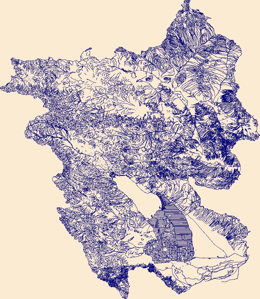
The High Resolution National Hydrography Dataset Plus (NHDPlus HR) is an integrated set of geospatial data layers, including the best available National Hydrography Dataset (NHD), the 10-meter 3D Elevation Program Digital Elevation Model (3DEP DEM), and the National Watershed Boundary Dataset (WBD). The NHDPlus HR combines the NHD, 3DEP DEMs, and WBD to create a stream network with linear referencing, feature naming, "value added attributes" (VAAs), elevation-derived catchments, and other features for hydrologic data analysis. The stream network with linear referencing is a system of data relationships applied to hydrographic systems so that one stream reach "flows" into another and "events" can be tied to and traced...
Tags: CA,
California,
Downloadable Data,
FileGDB,
FileGDB 10.1, All tags...
HU-4 Subregion,
HU-4 Subregion,
HU4_1810,
Hydrography,
Imperial County,
NHDPlus HR Rasters,
NHDPlus High Resolution (NHDPlus HR),
National Hydrography Dataset (NHD),
National Hydrography Dataset Plus High Resolution (NHDPlus HR),
National Hydrography Dataset Plus High Resolution (NHDPlus HR) Current,
Riverside County,
San Bernardino County,
San Diego County,
US,
United States,
base maps,
cartography,
catchments,
channels,
digital elevation models,
drainage basins,
earth sciences,
elevation,
environment,
geographic information systems,
geoscientific,
geospatial analysis,
hydrographic datasets,
hydrographic features,
hydrology,
imagery,
inland waters,
lakes,
land surface characteristics,
reservoirs,
river reaches,
rivers,
streamflow,
streamflow data,
streams,
topography,
water bodies,
water quality,
water resources,
watersheds, Fewer tags
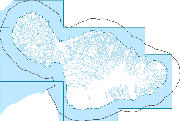
The High Resolution National Hydrography Dataset Plus (NHDPlus HR) is an integrated set of geospatial data layers, including the best available National Hydrography Dataset (NHD), the 10-meter 3D Elevation Program Digital Elevation Model (3DEP DEM), and the National Watershed Boundary Dataset (WBD). The NHDPlus HR combines the NHD, 3DEP DEMs, and WBD to create a stream network with linear referencing, feature naming, "value added attributes" (VAAs), elevation-derived catchments, and other features for hydrologic data analysis. The stream network with linear referencing is a system of data relationships applied to hydrographic systems so that one stream reach "flows" into another and "events" can be tied to and traced...
Tags: Downloadable Data,
FileGDB,
FileGDB 10.1,
HI,
HU-4 Subregion, All tags...
HU-4 Subregion,
HU4_2003,
Hawaii,
Hydrography,
Maui County,
NHDPlus HR Rasters,
NHDPlus High Resolution (NHDPlus HR),
National Hydrography Dataset (NHD),
National Hydrography Dataset Plus High Resolution (NHDPlus HR),
National Hydrography Dataset Plus High Resolution (NHDPlus HR) Current,
US,
United States,
base maps,
cartography,
catchments,
channels,
digital elevation models,
drainage basins,
earth sciences,
elevation,
environment,
geographic information systems,
geoscientific,
geospatial analysis,
hydrographic datasets,
hydrographic features,
hydrology,
imagery,
inland waters,
lakes,
land surface characteristics,
reservoirs,
river reaches,
rivers,
streamflow,
streamflow data,
streams,
topography,
water bodies,
water quality,
water resources,
watersheds, Fewer tags
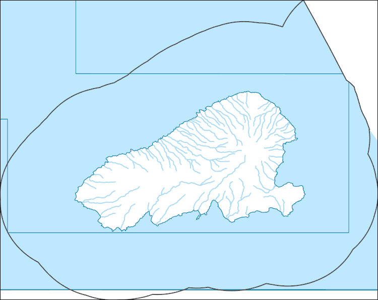
The High Resolution National Hydrography Dataset Plus (NHDPlus HR) is an integrated set of geospatial data layers, including the best available National Hydrography Dataset (NHD), the 10-meter 3D Elevation Program Digital Elevation Model (3DEP DEM), and the National Watershed Boundary Dataset (WBD). The NHDPlus HR combines the NHD, 3DEP DEMs, and WBD to create a stream network with linear referencing, feature naming, "value added attributes" (VAAs), elevation-derived catchments, and other features for hydrologic data analysis. The stream network with linear referencing is a system of data relationships applied to hydrographic systems so that one stream reach "flows" into another and "events" can be tied to and traced...
Tags: Downloadable Data,
FileGDB,
FileGDB 10.1,
HI,
HU-4 Subregion, All tags...
HU-4 Subregion,
HU4_2002,
Hawaii,
Hydrography,
Maui County,
NHDPlus HR Rasters,
NHDPlus High Resolution (NHDPlus HR),
National Hydrography Dataset (NHD),
National Hydrography Dataset Plus High Resolution (NHDPlus HR),
National Hydrography Dataset Plus High Resolution (NHDPlus HR) Current,
US,
United States,
base maps,
cartography,
catchments,
channels,
digital elevation models,
drainage basins,
earth sciences,
elevation,
environment,
geographic information systems,
geoscientific,
geospatial analysis,
hydrographic datasets,
hydrographic features,
hydrology,
imagery,
inland waters,
lakes,
land surface characteristics,
reservoirs,
river reaches,
rivers,
streamflow,
streamflow data,
streams,
topography,
water bodies,
water quality,
water resources,
watersheds, Fewer tags
|
|

