Filters: Tags: streamflow (X) > Date Range: {"choice":"year"} (X) > Types: Citation (X)
3 results (188ms)|
Filters
Date Types (for Date Range)
Types Contacts
Categories Tag Types
|
Changes in the Earth’s climate are expected to impact freshwater habitats around the world by altering water temperatures, water levels, and streamflow. These changes will have consequences for inland fish – those found within lakes, rivers, streams, canals, reservoirs, and other landlocked waters – which are important for food, commerce, and recreation around the world. According to the U.S. Fish and Wildlife Service, in 2011, 33.1 million people fished and spent $41.8 billion in the United States alone. Yet to date, little comprehensive research has been conducted to investigate the effects of climate change on inland fisheries at a large scale. The aim of this project was to summarize the current state of knowledge,...
Categories: Publication;
Types: Citation;
Tags: Fish,
National CASC,
Science Tools For Managers,
State of the Science,
Wildlife and Plants,
Streams across the world are highly fragmented due to the presence of in-stream barriers (e.g., dams and stream-road crossings), many of which restrict or block fish passage. Retrofitting or replacing these structures is a high priority for restoring habitat connectivity for native fishes and other aquatic organisms in the Pacific Northwest. The task of restoring habitat connectivity for problematic stream-road crossings is daunting given the many thousands of barriers that are present and the massive financial investments required. Further, the potential risks to road infrastructure from flooding, debris flows, and climate change will need to be addressed to ensure the best allocation of resources. In this study,...
Categories: Data,
Publication;
Types: Citation,
Map Service,
OGC WFS Layer,
OGC WMS Layer,
OGC WMS Service;
Tags: Climate Change,
Conservation Planning,
Decision Support,
Federal resource managers,
LCC Network Science Catalog,

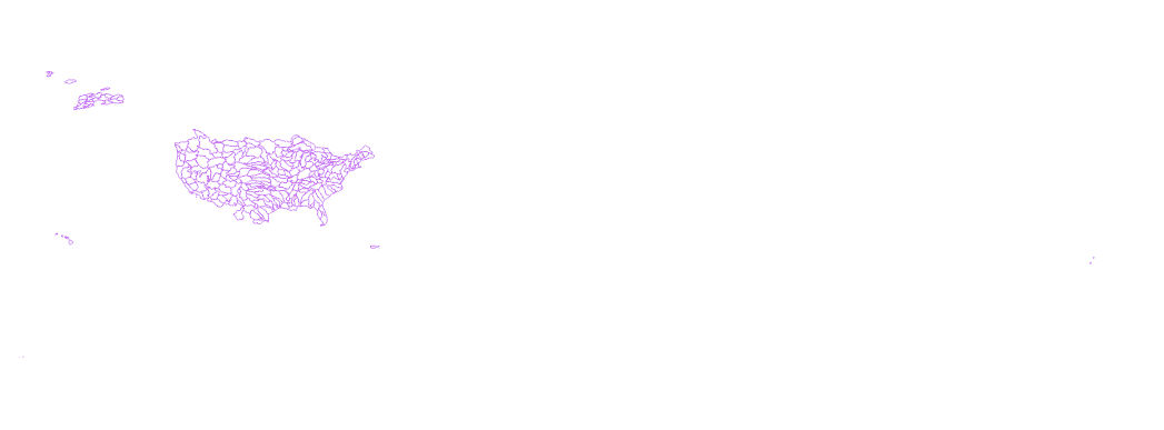
The High Resolution National Hydrography Dataset Plus (NHDPlus HR) is an integrated datset of geospatial data layers, including the most current National Hydrography Dataset (NHD), the 10-meter 3D Elevation Program Digital Elevation Model (3DEP DEM), and the National Watershed Boundary Dataset (WBD). The NHDPlus HR combines the NHD, 3DEP DEMs, and WBD to create a stream network with linear referencing, feature naming, "value added attributes" (VAAs), elevation-derived catchments, and other features for hydrologic data analysis. The stream network with linear referencing is a system of data relationships applied to hydrographic systems so that one stream reach "flows" into another and "events" can be tied to and...
Types: Citation;
Tags: Administrative watershed units,
Area of Complex Channels,
Area to be submerged,
Basin,
Bay/Inlet,
|

|