Filters: Tags: streamflow (X) > Date Range: {"choice":"year"} (X)
502 results (68ms)|
Filters
Date Types (for Date Range)
Types
Contacts
Categories
Tag Types
|
This data release contains monthly 270-meter gridded Basin Characterization Model (BCMv8) climate inputs and hydrologic outputs for Klamath (KL). Gridded climate inputs include: precipitation (ppt), minimum temperature (tmn), maximum temperature (tmx), and potential evapotranspiration (pet). Gridded hydrologic variables include: actual evapotranspiration (aet), climatic water deficit (cwd), snowpack (pck), recharge (rch), runoff (run), and soil storage (str). The units for temperature variables are degrees Celsius, and all other variables are in millimeters. Monthly historical variables from water years 1896 to 2019 are summarized into water year files and long-term average summaries for water years 1981-2010. Four...
These data were compiled to investigate the control of drying on the aeolian transport of river-sourced sand. Objectives of our study were to to examine aeolian sediment transport during a five-day period of low steady river flow on a river sandbar and adjacent aeolian dunefield. These data represent the observed and theoretical threshold fiction velocities for aeolian sediment transport, as well as the grain size, sediment moisture content, surface roughness and other characteristics of the sandbar and sand dune surfaces. These data were collected at a sandbar and aeolian sand dune along the Colorado River approximately 19 km downstream from Glen Canyon Dam at Lees Ferry, Arizona, USA from March 15 to 20, 2021....
This dataset provides a flow accumulation raster for the stream network. It displays the accumulated weight of all cells flowing into each downslope cell in a raster. The flow accumulation raster was generated using a flow direction raster, which was created from an elevation raster.
Variable Infiltration Capacity model results for several hydroclimatological variables for the Arkansas and Canadian River Basin of Oklahoma. Inputs to models were Daymet climate observations as well as the CCSM4, MIROC5, and MPI ESM LR Global Climate Models using Representative Concentration Pathways 2.6, 4.5 and 8.5.
Our objective was to model the risk of becoming intermittent under drier climate conditions on small, ungaged streams in the Upper Colorado River Basin. Modeling streamflows is an important tool for understanding landscape-scale drivers of flow and estimating flows where there are no gaged records. We focused our study in the Upper Colorado River Basin, a region that is not only critical for water resources but also projected to experience large future climate shifts toward a drier climate. We used a conditional inference modeling approach to model the relation between intermittency status on gaged streams (115 gages) and selected mean and minimum flow metrics. We then projected intermittency status and if a stream...
Changes in the Earth’s climate are expected to impact freshwater habitats around the world by altering water temperatures, water levels, and streamflow. These changes will have consequences for inland fish – those found within lakes, rivers, streams, canals, reservoirs, and other landlocked waters – which are important for food, commerce, and recreation around the world. According to the U.S. Fish and Wildlife Service, in 2011, 33.1 million people fished and spent $41.8 billion in the United States alone. Yet to date, little comprehensive research has been conducted to investigate the effects of climate change on inland fisheries at a large scale. The aim of this project was to summarize the current state of knowledge,...
Categories: Publication;
Types: Citation;
Tags: Fish,
National CASC,
Science Tools For Managers,
State of the Science,
Wildlife and Plants,
The Ohio-Kentucky-Indiana Water Science Center looks forward to helping you achieve your goals by providing water quantity and quality information, as well as scientific tools and understanding, when and where they are needed by citizens, businesses, and public officials.
This polygon shapefile represents model simulated flood-inundation extents for the Muddy River, near Moapa Nevada. A flood frequency analysis was performed at USGS streamgage 09416000 - Muddy River near Moapa, Nevada, to estimate the 50, 20, 10, 4, 2, and 1-percent annual exceedance probability (AEP) flood streamflows. The flood-inundation extents for the 50-, 20-, 10-, 4-, 2-, and 1-percent AEP floods were simulated for the current levee location in 2019 and for the new levee location of the proposed restoration. One model simulation represents the levee at its current (existing) location in 2019 on the east bank of the river and referred to as ‘current conditions (2019).’ A second model simulation removes the...
Categories: Data;
Types: Downloadable,
Map Service,
OGC WFS Layer,
OGC WMS Layer,
Shapefile;
Tags: Moapa,
Moapa Valley,
Muddy River,
Nevada,
freshwater ecosystems,
This data release contains monthly 270-meter resolution Basin Characterization Model (BCMv8) climate and hydrologic variables for Localized Constructed Analog (LOCA; Pierce et al., 2014)-downscaled GFDL-CM3 Global Climate Model (GCM) for Representative Concentration Pathway (RCP) 4.5 (medium-low emissions) and 8.5 (high emissions) for hydrologic California. The LOCA climate scenarios span water years 1950 to 2099 with greenhouse-gas forcings beginning in 2006. The LOCA downscaling method has been shown to produce better estimates of extreme events and reduces the common downscaling problem of too many low-precipitation days (Pierce et al., 2014). Ten GCMs were selected from the full ensemble of models from the fifth...
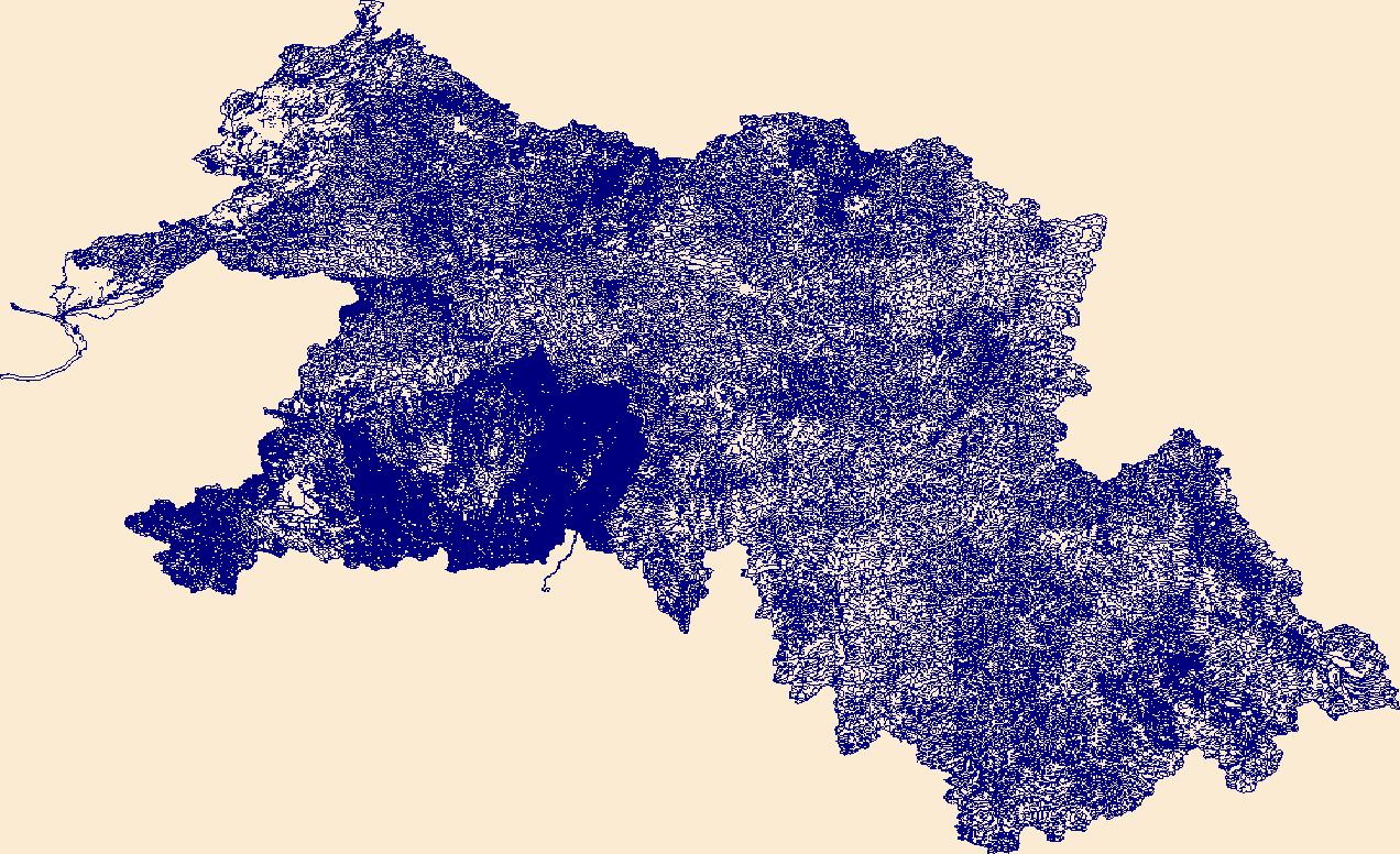
The High Resolution National Hydrography Dataset Plus (NHDPlus HR) is an integrated set of geospatial data layers, including the best available National Hydrography Dataset (NHD), the 10-meter 3D Elevation Program Digital Elevation Model (3DEP DEM), and the National Watershed Boundary Dataset (WBD). The NHDPlus HR combines the NHD, 3DEP DEMs, and WBD to create a stream network with linear referencing, feature naming, "value added attributes" (VAAs), elevation-derived catchments, and other features for hydrologic data analysis. The stream network with linear referencing is a system of data relationships applied to hydrographic systems so that one stream reach "flows" into another and "events" can be tied to and traced...
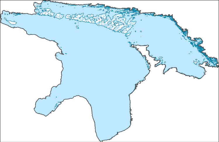
The High Resolution National Hydrography Dataset Plus (NHDPlus HR) is an integrated set of geospatial data layers, including the best available National Hydrography Dataset (NHD), the 10-meter 3D Elevation Program Digital Elevation Model (3DEP DEM), and the National Watershed Boundary Dataset (WBD). The NHDPlus HR combines the NHD, 3DEP DEMs, and WBD to create a stream network with linear referencing, feature naming, "value added attributes" (VAAs), elevation-derived catchments, and other features for hydrologic data analysis. The stream network with linear referencing is a system of data relationships applied to hydrographic systems so that one stream reach "flows" into another and "events" can be tied to and traced...
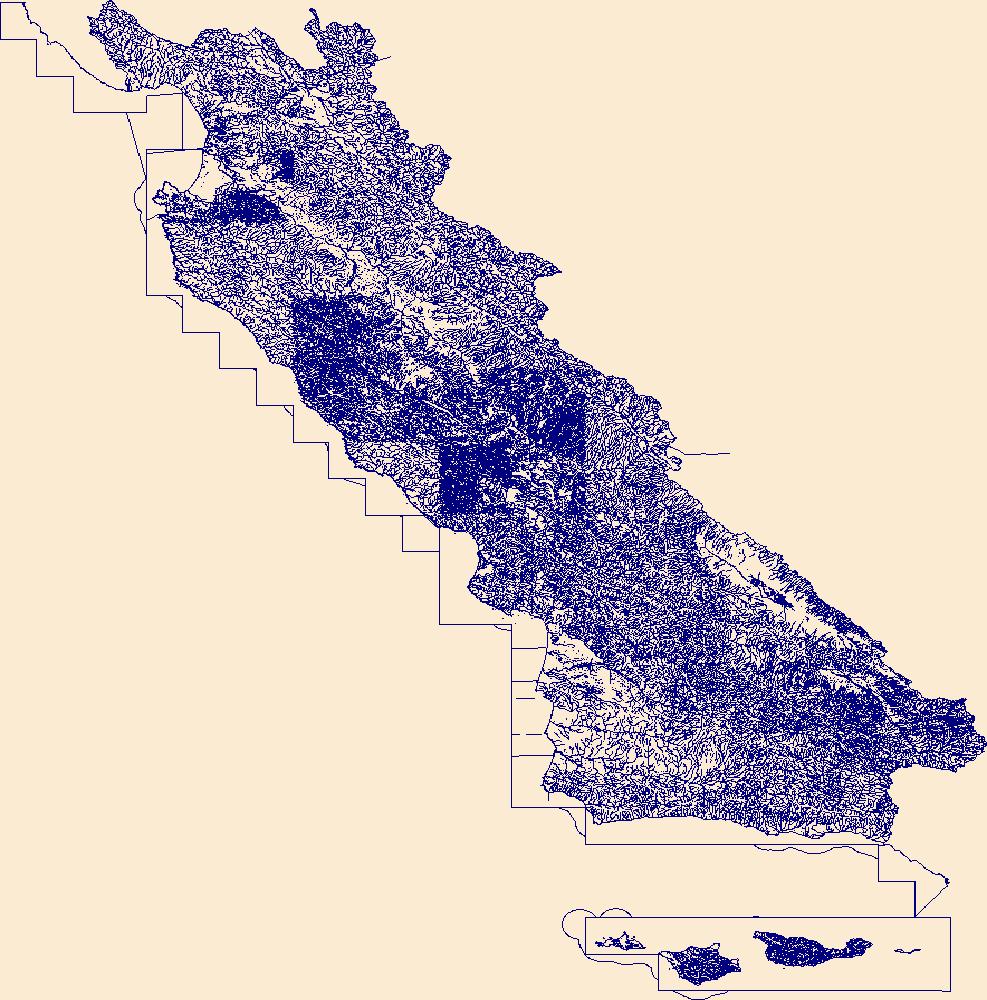
The High Resolution National Hydrography Dataset Plus (NHDPlus HR) is an integrated set of geospatial data layers, including the best available National Hydrography Dataset (NHD), the 10-meter 3D Elevation Program Digital Elevation Model (3DEP DEM), and the National Watershed Boundary Dataset (WBD). The NHDPlus HR combines the NHD, 3DEP DEMs, and WBD to create a stream network with linear referencing, feature naming, "value added attributes" (VAAs), elevation-derived catchments, and other features for hydrologic data analysis. The stream network with linear referencing is a system of data relationships applied to hydrographic systems so that one stream reach "flows" into another and "events" can be tied to and traced...
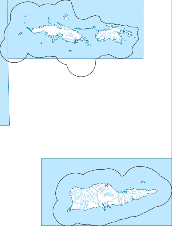
The High Resolution National Hydrography Dataset Plus (NHDPlus HR) is an integrated set of geospatial data layers, including the best available National Hydrography Dataset (NHD), the 10-meter 3D Elevation Program Digital Elevation Model (3DEP DEM), and the National Watershed Boundary Dataset (WBD). The NHDPlus HR combines the NHD, 3DEP DEMs, and WBD to create a stream network with linear referencing, feature naming, "value added attributes" (VAAs), elevation-derived catchments, and other features for hydrologic data analysis. The stream network with linear referencing is a system of data relationships applied to hydrographic systems so that one stream reach "flows" into another and "events" can be tied to and traced...
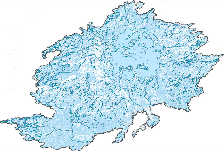
The High Resolution National Hydrography Dataset Plus (NHDPlus HR) is an integrated set of geospatial data layers, including the best available National Hydrography Dataset (NHD), the 10-meter 3D Elevation Program Digital Elevation Model (3DEP DEM), and the National Watershed Boundary Dataset (WBD). The NHDPlus HR combines the NHD, 3DEP DEMs, and WBD to create a stream network with linear referencing, feature naming, "value added attributes" (VAAs), elevation-derived catchments, and other features for hydrologic data analysis. The stream network with linear referencing is a system of data relationships applied to hydrographic systems so that one stream reach "flows" into another and "events" can be tied to and traced...
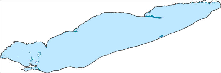
The High Resolution National Hydrography Dataset Plus (NHDPlus HR) is an integrated set of geospatial data layers, including the best available National Hydrography Dataset (NHD), the 10-meter 3D Elevation Program Digital Elevation Model (3DEP DEM), and the National Watershed Boundary Dataset (WBD). The NHDPlus HR combines the NHD, 3DEP DEMs, and WBD to create a stream network with linear referencing, feature naming, "value added attributes" (VAAs), elevation-derived catchments, and other features for hydrologic data analysis. The stream network with linear referencing is a system of data relationships applied to hydrographic systems so that one stream reach "flows" into another and "events" can be tied to and traced...
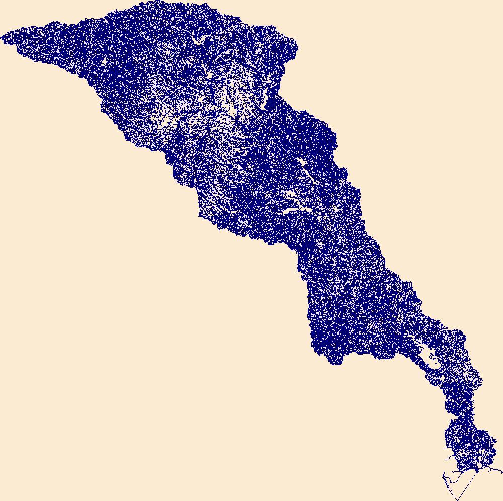
The High Resolution National Hydrography Dataset Plus (NHDPlus HR) is an integrated set of geospatial data layers, including the best available National Hydrography Dataset (NHD), the 10-meter 3D Elevation Program Digital Elevation Model (3DEP DEM), and the National Watershed Boundary Dataset (WBD). The NHDPlus HR combines the NHD, 3DEP DEMs, and WBD to create a stream network with linear referencing, feature naming, "value added attributes" (VAAs), elevation-derived catchments, and other features for hydrologic data analysis. The stream network with linear referencing is a system of data relationships applied to hydrographic systems so that one stream reach "flows" into another and "events" can be tied to and traced...
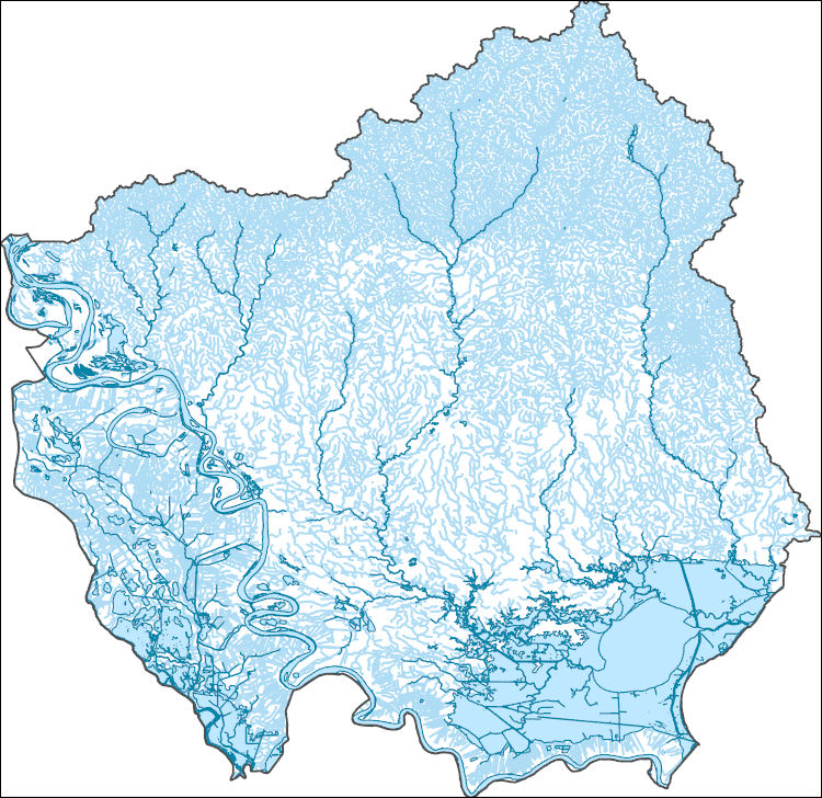
The High Resolution National Hydrography Dataset Plus (NHDPlus HR) is an integrated set of geospatial data layers, including the best available National Hydrography Dataset (NHD), the 10-meter 3D Elevation Program Digital Elevation Model (3DEP DEM), and the National Watershed Boundary Dataset (WBD). The NHDPlus HR combines the NHD, 3DEP DEMs, and WBD to create a stream network with linear referencing, feature naming, "value added attributes" (VAAs), elevation-derived catchments, and other features for hydrologic data analysis. The stream network with linear referencing is a system of data relationships applied to hydrographic systems so that one stream reach "flows" into another and "events" can be tied to and traced...

The High Resolution National Hydrography Dataset Plus (NHDPlus HR) is an integrated set of geospatial data layers, including the National Hydrography Dataset (NHD), National Watershed Boundary Dataset (WBD), and 3D Elevation Program Digital Elevation Model (3DEP DEM). The NHDPlus HR combines the NHD, 3DEP DEMs, and WBD to a data suite that includes the NHD stream network with linear referencing functionality, the WBD hydrologic units, elevation-derived catchment areas for each stream segment, "value added attributes" (VAAs), and other features that enhance hydrologic data analysis and routing.

The High Resolution National Hydrography Dataset Plus (NHDPlus HR) is an integrated set of geospatial data layers, including the National Hydrography Dataset (NHD), National Watershed Boundary Dataset (WBD), and 3D Elevation Program Digital Elevation Model (3DEP DEM). The NHDPlus HR combines the NHD, 3DEP DEMs, and WBD to a data suite that includes the NHD stream network with linear referencing functionality, the WBD hydrologic units, elevation-derived catchment areas for each stream segment, "value added attributes" (VAAs), and other features that enhance hydrologic data analysis and routing.

The High Resolution National Hydrography Dataset Plus (NHDPlus HR) is an integrated set of geospatial data layers, including the National Hydrography Dataset (NHD), National Watershed Boundary Dataset (WBD), and 3D Elevation Program Digital Elevation Model (3DEP DEM). The NHDPlus HR combines the NHD, 3DEP DEMs, and WBD to a data suite that includes the NHD stream network with linear referencing functionality, the WBD hydrologic units, elevation-derived catchment areas for each stream segment, "value added attributes" (VAAs), and other features that enhance hydrologic data analysis and routing.
|

|