Filters: Types: ArcGIS REST Map Service (X)
Folders: ROOT > ScienceBase Catalog > National Geospatial Program > The National Map ( Show all descendants )
1 result (6ms)
Location
Folder
ROOT _ScienceBase Catalog __National Geospatial Program ___The National Map
Filters
Date Range
Extensions Types Categories |
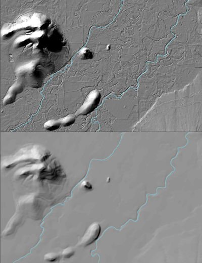
The USGS 3D Elevation Program (3DEP) Datasets from The National Map are the primary elevation data product produced and distributed by the USGS. The 3DEP program provides a variety of resolution raster elevation data of the conterminous United States, Alaska, Hawaii, and the island territories. Some of the data sets such as the 1/3rd arc-second and 1 arc-second data set are derived from diverse source data sets that are processed to a specification with a consistent resolution, coordinate system, elevation units, and horizontal and vertical datums. These seamless DEMs were referred to as the National Elevation Dataset (NED) from about 2000 through 2015 at which time they became the seamless DEM layers under the...
|