Filters: Date Range: {"choice":"year"} (X) > Categories: Collection (X) > Extensions: USGS Collection (X)
7 results (102ms)|
Filters
Date Types (for Date Range)
Types Contacts
Categories Tag Types Tag Schemes |

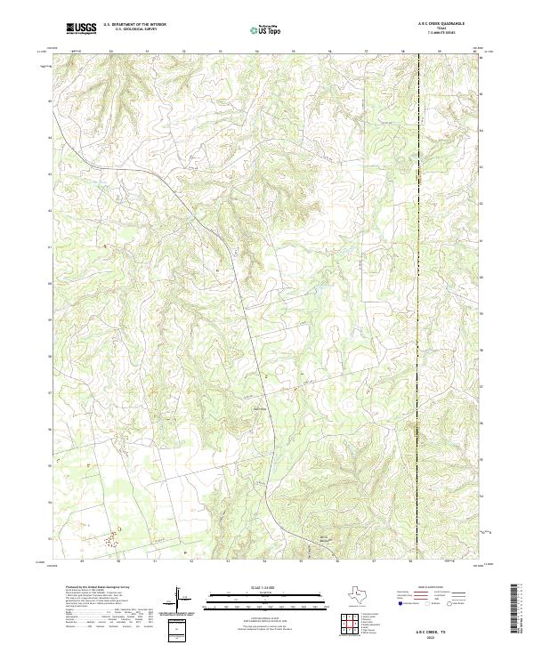
Layered geospatial PDF 7.5 Minute Quadrangle Map. Layers of geospatial data include orthoimagery, roads, grids, geographic names, elevation contours, hydrography, boundaries, and other selected map features. This map depicts geographic features on the surface of the earth. One intended purpose is to support emergency response at all levels of government. The geospatial data in this map are from selected National Map data holdings and other government sources.
Categories: Collection;
Types: Map Service,
OGC WFS Layer,
OGC WMS Layer,
OGC WMS Service;
Tags: Public Land Survey System,
U.S. National Grid,
US,
USGS:6d94af68-1f05-4f9e-9b5a-63f7a05d258b,
United States,
The U.S. Congress authorized a library for the U.S. Geological Survey (USGS) in 1879. The library was formally established in 1882 with the naming of the first librarian and began with a staff of three and a collection of 1,400 books. Today, the USGS Libraries Program is one of the world's largest Earth and natural science repositories and a resource of national significance used by researchers and the public worldwide.
Categories: Collection;
Tags: USGS Science Data Catalog (SDC)
The U.S. Geological Survey’s Wetland and Aquatic Research Center (WARC), formed in 2015, pulls together experts in biology and ecology from around the Southeastern United States and Caribbean. With primary locations in Lafayette, Louisiana, and Gainesville, Florida, WARC scientists pursue relevant and objective research and new approaches and technologies, to build scientific knowledge and provide understanding and tools for wise management and conservation of wetlands and aquatic ecosystems and their associated plant and animal communities throughout the nation and the world, with an emphasis on the Southeast United States, the Caribbean, and the Gulf of Mexico. Beyond the primary centers, research facilities...

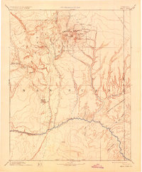
USGS Historical Quadrangle in GeoPDF. The USGS Historical Quadrangle Scanning Project (HQSP) is scanning all scales and all editions of topographic maps published by the U.S. Geological Survey (USGS) since the inception of the topographic mapping program in 1884.
Categories: Collection;
Types: Citation,
Map Service,
OGC WFS Layer,
OGC WMS Layer,
OGC WMS Service;
Tags: Public Land Survey System,
U.S. National Grid,
US,
USGS:bb7b145f-8d7f-405b-96ae-348d61172951,
United States,
The National Geospatial Program collection of resources provide service interfaces to the basemap services from The National Map and the services provided by ScienceBase for NGP Staged Products (US Topo, etc.).
Categories: Collection
|

|