Filters: Tags: {"scheme":"USGS Metadata Identifier"} (X) > Types: OGC WFS Layer (X) > Types: OGC WMS Service (X)
16 results (227ms)|
Filters
Date Range
Extensions Types Contacts
Categories Tag Types Tags (with Scheme=USGS Metadata Identifier) |
This dataset contains a thematic [classified] image derived from supervised classification of WorldView-3 satellite imagery. This data release contains a geospatial thematic (raster) image derived from a supervised classification of WorldView-3 satellite imagery obtained during 2020–21. Arundo donax (Arundo cane, giant reed, or Carrizo cane), is an invasive bamboo-like perennial grass most common to riparian areas throughout the southwestern United States. Because it displaces native riparian vegetation, Arundo cane has greatly disrupted the health of riparian ecosystems in the southwestern United States and northern Mexico during the past 50 years. Arundo cane also has created border security problems along the...
Types: Map Service,
OGC WFS Layer,
OGC WMS Layer,
OGC WMS Service;
Tags: Arundo cane,
Arundo donax,
Carrizo cane,
Giant Reed,
Rio Grande,
This USGS data release is intended to provide a baselayer of information on likely stream crossings throughout the United States. The geopackage provides likely crossings of infrastructure and streams and provides observed information that helps validate modeled crossings and build knowledge about associated conditions through time (e.g. crossing type, crossing condition). Stream crossings were developed by intersecting the 2020 United States Census Bureau Topologically Integrated Geographic Encoding and Referencing (TIGER) U.S. road lines with the National Hydrography Dataset High Resolution flowlines. The current version of this data release specifically focuses on road stream crossings (i.e. TIGER2020 Roads)...
Summary: This directory contains a second version of the mosaics of the 2-dimensional (2D) surface strain fields of the 2019 Mw7.1 and Mw6.4 Ridgecrest earthquakes derived from optical correlation. These results are derived through a modification to the inversion approach described in Barnhart et al. 2020 (Nature Geoscience) wherein we remove the UTM reference frame when building the Green’s function that is incorporated into the inversion for the displacement gradient tensor. The removal of the reference frame has the effect of improving the condition number of the Green’s function and making the inversion more stable. The mosaics are in UTM Zone 11N coordinates with 10m spatial resolution. Each file is in units...
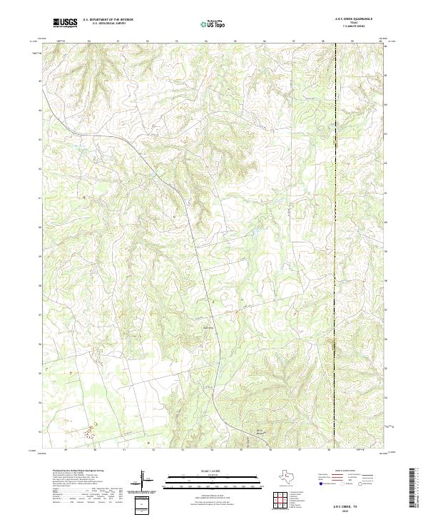
Layered geospatial PDF 7.5 Minute Quadrangle Map. Layers of geospatial data include orthoimagery, roads, grids, geographic names, elevation contours, hydrography, boundaries, and other selected map features. This map depicts geographic features on the surface of the earth. One intended purpose is to support emergency response at all levels of government. The geospatial data in this map are from selected National Map data holdings and other government sources.
Categories: Collection;
Types: Map Service,
OGC WFS Layer,
OGC WMS Layer,
OGC WMS Service;
Tags: Public Land Survey System,
U.S. National Grid,
US,
USGS:6d94af68-1f05-4f9e-9b5a-63f7a05d258b,
United States,
This dataset contains a thematic [classified] image derived from supervised classification of WorldView-3 satellite imagery. This data release contains a geospatial thematic (raster) image derived from a supervised classification of WorldView-3 satellite imagery obtained during 2020–21. Arundo donax (Arundo cane, giant reed, or Carrizo cane), is an invasive bamboo-like perennial grass most common to riparian areas throughout the southwestern United States. Because it displaces native riparian vegetation, Arundo cane has greatly disrupted the health of riparian ecosystems in the southwestern United States and northern Mexico during the past 50 years. Arundo cane also has created border security problems along the...
Types: Map Service,
OGC WFS Layer,
OGC WMS Layer,
OGC WMS Service;
Tags: Arundo cane,
Arundo donax,
Carrizo cane,
Giant Reed,
Rio Grande,
This imagery dataset consists of 3-meter resolution, lidar-derived imagery of the Roanoke 30 x 60 minute quadrangle in Virginia. It also covers a part of the Appalachian Basin Province. The source data used to construct this imagery consists of 1-meter resolution lidar-derived digital elevation models (DEMs). The lidar source data were compiled from different acquisitions published between 2017 and 2021 and downloaded from the USGS National Map TNM Download. The data were processed using geographic information systems (GIS) software. The data spatial reference is the WGS 1984 geographic coordinate system. This representation illustrates the terrain as a hillshade with contrast adjusted to highlight local relief...
Categories: Data;
Types: Downloadable,
GeoTIFF,
Map Service,
OGC WFS Layer,
OGC WMS Layer,
OGC WMS Service,
Raster;
Tags: Roanoke,
USGS Science Data Catalog (SDC),
USGS:6466397bd34ec11ae4a79bb4,
Virginia,
digital elevation models,
This data release contains supplemental data for the following paper: Nelson, A.R., DuRoss, C.B., Mahan, S.A., Gray, H.J., Engelhart, S.E., Witter, R.C., Hawkes, A.D., Horton, B.P., Kelsey, H.M., and Padgett, J.S., 2021, A maximum rupture model for the central and southern Cascadia subduction zone—assessing ages for coastal evidence of megathrust earthquakes and tsunamis: Quaternary Science Reviews 261, https://doi.org/10.1016/j.quascirev.2021.106922. The data include a compilation of new and previously published radiocarbon ages from the original cores from Bradley Lake of Kelsey et al. (2005; odt format), and tables of new and previously published radiocarbon data for 7 of the 13 tidal wetland sites along the...
This is a tiled collection of the 3D Elevation Program (3DEP) and is 1 arc-second (approximately 30 m) resolution. The elevations in this Digital Elevation Model (DEM) represent the topographic bare-earth surface. The 3DEP data holdings serve as the elevation layer of The National Map, and provide foundational elevation information for earth science studies and mapping applications in the United States. Scientists and resource managers use 3DEP data for hydrologic modeling, resource monitoring, mapping and visualization, and many other applications.. The seamless 1 arc-second DEM layers are derived from diverse source data that are processed to a common coordinate system and unit of vertical measure. These data...
Types: Citation,
Map Service,
OGC WFS Layer,
OGC WMS Layer,
OGC WMS Service;
Tags: 1-Degree DEM,
3D Elevation Program,
3DEP,
Bare Earth,
Cartography,
This is a tiled collection of the 3D Elevation Program (3DEP) and is 2 arc-second (approximately 60 m) resolution covering Alaska. The elevations in this Digital Elevation Model (DEM) represent the topographic bare-earth surface. The 3DEP data holdings serve as the elevation layer of The National Map, and provide foundational elevation information for earth science studies and mapping applications in the United States. Scientists and resource managers use 3DEP data for hydrologic modeling, resource monitoring, mapping and visualization, and many other applications. The seamless 2 arc-second DEM layers are derived from diverse source data that are processed to a common coordinate system and unit of vertical measure....
Types: Citation,
Map Service,
OGC WFS Layer,
OGC WMS Layer,
OGC WMS Service;
Tags: 1-degree DEM,
2 arc-second DEM,
3DEP,
Bare Earth,
Cartography,
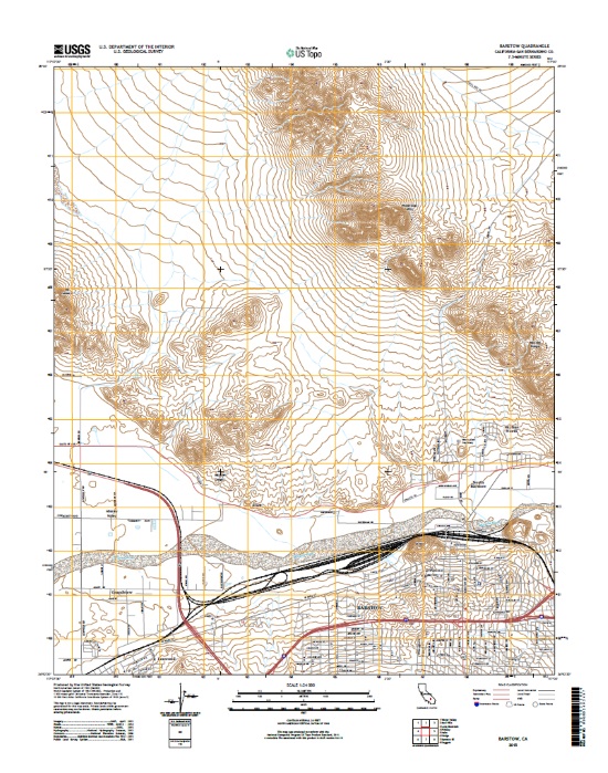
Layers of geospatial data include contours, boundaries, land cover, hydrography, roads, transportation, geographic names, structures, and other selected map features.
Numerical modeling was performed to analyze the impacts of potential multiphase conditions on long-term subsurface pressure evolution in subsurface systems. An example site on the Bruce Peninsula in Southern Ontario, Canada was selected due to the large amount of available, high-quality data showing significantly underpressured water and the possible presence of gas phase methane. The system was represented by a 1-D model in which multiphase flow and hydromechanical coupling during the last glacial loading and unloading cycle were simulated. Single-phase flow simulations were performed with the USGS single-phase flow simulator SUTRA, and then both single- and multiphase simulations were performed with the multiphase...
Types: Map Service,
OGC WFS Layer,
OGC WMS Layer,
OGC WMS Service;
Tags: Canada,
Energy Resources,
Great Lakes,
Groundwater,
Groundwater Model,
This portion of the data release presents sediment grain-size data from samples collected on the Elwha River delta, Washington, in August 2022 (USGS Field Activity 2022-638-FA). Surface sediment was collected from 67 locations using a small ponar, or 'grab', sampler from the R/V Frontier in water depths between about 1 and 17 m around the delta. An additional 44 samples were collected by hand at low tide. A hand-held global satellite navigation system (GNSS) receiver was used to determine the locations of sediment samples. The grain size distributions of suitable samples were determined using standard techniques developed by the USGS Pacific Coastal and Marine Science Center sediment lab. Grab samples that yielded...
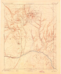
USGS Historical Quadrangle in GeoPDF. The USGS Historical Quadrangle Scanning Project (HQSP) is scanning all scales and all editions of topographic maps published by the U.S. Geological Survey (USGS) since the inception of the topographic mapping program in 1884.
Categories: Collection;
Types: Citation,
Map Service,
OGC WFS Layer,
OGC WMS Layer,
OGC WMS Service;
Tags: Public Land Survey System,
U.S. National Grid,
US,
USGS:bb7b145f-8d7f-405b-96ae-348d61172951,
United States,
The U.S. Geological Survey (USGS), prepared geographic information systems (GIS) layers for use in the West Virginia StreamStats application. The Digital Elevation Model and associated data were hydrologically conditioned, which is the process of burning in single line streams at the 1:24,000 scale into a digital elevation model to produce flow direction and flow accumulation grids. This data includes geotif images for a 10 meter digital elevation model, a flow direction, and a flow accumulation raster/grid image for the WV Streamstats area. The 34 HUCs represented by this dataset are 02070001, 02070002, 02070003, 02070004, 02070005, 02070006, 02070007, 05020001, 05020002,05020003, 05020004, 05020005, 05020006,...
Categories: Data;
Types: Downloadable,
GeoTIFF,
Map Service,
OGC WFS Layer,
OGC WMS Layer,
OGC WMS Service,
Raster;
Tags: USGS Science Data Catalog (SDC),
USGS:5e8f8e7282cee42d134ae181,
United States,
Water Resources,
West Virginia,
This data release contains geospatial vector (polygon) data created using data obtained during 2020–21 in support of Arundo donax (Arundo Cane) image classification along the Rio Grande in Webb County, Texas. These polygon data represent the area of interest (AOI) and the analysis study area (buffer zone that extends one mile east of the Rio Grande center line) on the U.S. side of the Mexico/United States border. Arundo donax (Arundo cane, giant reed, or Carrizo cane), is an invasive bamboo-like perennial grass most common to riparian areas throughout the southwestern United States. Because it displaces native riparian vegetation, Arundo cane has greatly disrupted the health of riparian ecosystems in the southwestern...
Types: Map Service,
OGC WFS Layer,
OGC WMS Layer,
OGC WMS Service;
Tags: Arundo cane,
Arundo donax,
Carrizo cane,
Giant Reed,
Rio Grande,
|