Filters: Categories: NOT Data Release - In Progress (X) > Date Range: {"choice":"day"} (X)
1,895 results (22ms)|
Filters
Date Types (for Date Range)
Types Contacts
Categories Tag Types
|

Lidar (Light detection and ranging) discrete-return point cloud data are available in the American Society for Photogrammetry and Remote Sensing (ASPRS) LAS format. The LAS format is a standardized binary format for storing 3-dimensional point cloud data and point attributes along with header information and variable length records specific to the data. Millions of data points are stored as a 3-dimensional data cloud as a series of x (longitude), y (latitude) and z (elevation) points. A few older projects in this collection are in ASCII format. Please refer to http://www.asprs.org/Committee-General/LASer-LAS-File-Format-Exchange-Activities.html for additional information. This data set is a LAZ (compressed LAS)...

Lidar (Light detection and ranging) discrete-return point cloud data are available in the American Society for Photogrammetry and Remote Sensing (ASPRS) LAS format. The LAS format is a standardized binary format for storing 3-dimensional point cloud data and point attributes along with header information and variable length records specific to the data. Millions of data points are stored as a 3-dimensional data cloud as a series of x (longitude), y (latitude) and z (elevation) points. A few older projects in this collection are in ASCII format. Please refer to http://www.asprs.org/Committee-General/LASer-LAS-File-Format-Exchange-Activities.html for additional information. This data set is a LAZ (compressed LAS)...
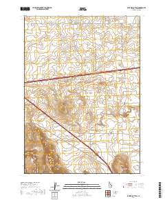
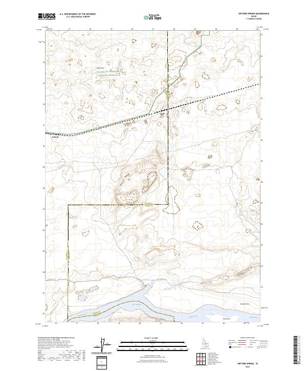
Layered geospatial PDF 7.5 Minute Quadrangle Map. Layers of geospatial data include orthoimagery, roads, grids, geographic names, elevation contours, hydrography, and other selected map features. This map is derived from GIS (geospatial information system) data. It represents a repackaging of GIS data in traditional map form, not creation of new information. The geospatial data in this map are from selected National Map data holdings and other government sources.
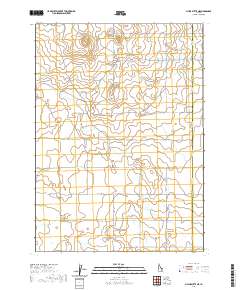
Layered geospatial PDF 7.5 Minute Quadrangle Map. Layers of geospatial data include orthoimagery, roads, grids, geographic names, elevation contours, hydrography, and other selected map features. This map is derived from GIS (geospatial information system) data. It represents a repackaging of GIS data in traditional map form, not creation of new information. The geospatial data in this map are from selected National Map data holdings and other government sources.
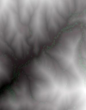
Lidar (Light detection and ranging) discrete-return point cloud data are available in the American Society for Photogrammetry and Remote Sensing (ASPRS) LAS format. The LAS format is a standardized binary format for storing 3-dimensional point cloud data and point attributes along with header information and variable length records specific to the data. Millions of data points are stored as a 3-dimensional data cloud as a series of x (longitude), y (latitude) and z (elevation) points. A few older projects in this collection are in ASCII format. Please refer to http://www.asprs.org/Committee-General/LASer-LAS-File-Format-Exchange-Activities.html for additional information. This data set is a LAZ (compressed LAS)...

Lidar (Light detection and ranging) discrete-return point cloud data are available in the American Society for Photogrammetry and Remote Sensing (ASPRS) LAS format. The LAS format is a standardized binary format for storing 3-dimensional point cloud data and point attributes along with header information and variable length records specific to the data. Millions of data points are stored as a 3-dimensional data cloud as a series of x (longitude), y (latitude) and z (elevation) points. A few older projects in this collection are in ASCII format. Please refer to http://www.asprs.org/Committee-General/LASer-LAS-File-Format-Exchange-Activities.html for additional information. This data set is a LAZ (compressed LAS)...
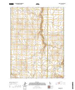
Layered geospatial PDF 7.5 Minute Quadrangle Map. Layers of geospatial data include orthoimagery, roads, grids, geographic names, elevation contours, hydrography, and other selected map features. This map is derived from GIS (geospatial information system) data. It represents a repackaging of GIS data in traditional map form, not creation of new information. The geospatial data in this map are from selected National Map data holdings and other government sources.
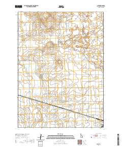
Layered geospatial PDF 7.5 Minute Quadrangle Map. Layers of geospatial data include orthoimagery, roads, grids, geographic names, elevation contours, hydrography, and other selected map features. This map is derived from GIS (geospatial information system) data. It represents a repackaging of GIS data in traditional map form, not creation of new information. The geospatial data in this map are from selected National Map data holdings and other government sources.

Lidar (Light detection and ranging) discrete-return point cloud data are available in the American Society for Photogrammetry and Remote Sensing (ASPRS) LAS format. The LAS format is a standardized binary format for storing 3-dimensional point cloud data and point attributes along with header information and variable length records specific to the data. Millions of data points are stored as a 3-dimensional data cloud as a series of x (longitude), y (latitude) and z (elevation) points. A few older projects in this collection are in ASCII format. Please refer to http://www.asprs.org/Committee-General/LASer-LAS-File-Format-Exchange-Activities.html for additional information. This data set is a LAZ (compressed LAS)...

Lidar (Light detection and ranging) discrete-return point cloud data are available in the American Society for Photogrammetry and Remote Sensing (ASPRS) LAS format. The LAS format is a standardized binary format for storing 3-dimensional point cloud data and point attributes along with header information and variable length records specific to the data. Millions of data points are stored as a 3-dimensional data cloud as a series of x (longitude), y (latitude) and z (elevation) points. A few older projects in this collection are in ASCII format. Please refer to http://www.asprs.org/Committee-General/LASer-LAS-File-Format-Exchange-Activities.html for additional information. This data set is a LAZ (compressed LAS)...
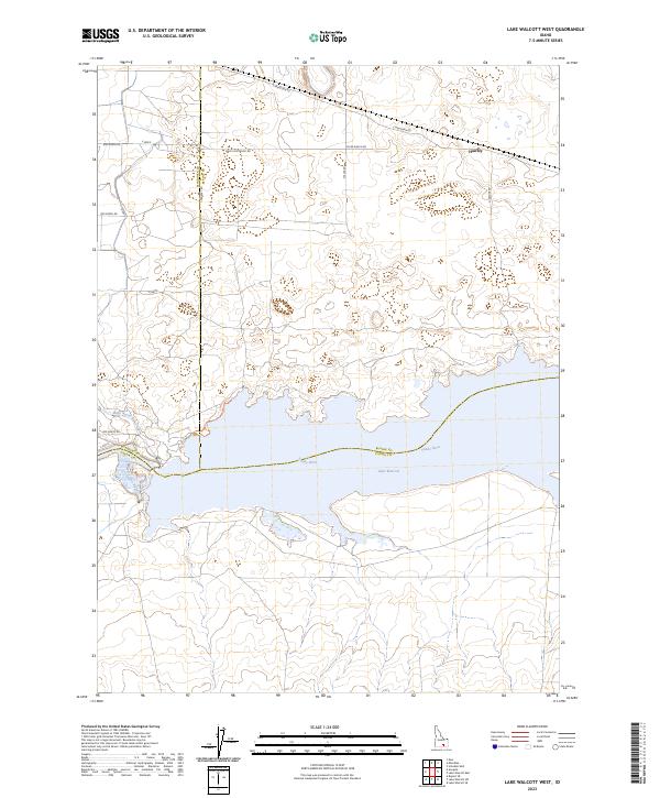
Layered geospatial PDF 7.5 Minute Quadrangle Map. Layers of geospatial data include orthoimagery, roads, grids, geographic names, elevation contours, hydrography, and other selected map features. This map is derived from GIS (geospatial information system) data. It represents a repackaging of GIS data in traditional map form, not creation of new information. The geospatial data in this map are from selected National Map data holdings and other government sources.
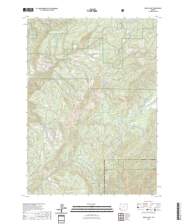
Layered geospatial PDF 7.5 Minute Quadrangle Map. Layers of geospatial data include orthoimagery, roads, grids, geographic names, elevation contours, hydrography, and other selected map features. This map is derived from GIS (geospatial information system) data. It represents a repackaging of GIS data in traditional map form, not creation of new information. The geospatial data in this map are from selected National Map data holdings and other government sources.

Lidar (Light detection and ranging) discrete-return point cloud data are available in the American Society for Photogrammetry and Remote Sensing (ASPRS) LAS format. The LAS format is a standardized binary format for storing 3-dimensional point cloud data and point attributes along with header information and variable length records specific to the data. Millions of data points are stored as a 3-dimensional data cloud as a series of x (longitude), y (latitude) and z (elevation) points. A few older projects in this collection are in ASCII format. Please refer to http://www.asprs.org/Committee-General/LASer-LAS-File-Format-Exchange-Activities.html for additional information. This data set is a LAZ (compressed LAS)...

Lidar (Light detection and ranging) discrete-return point cloud data are available in the American Society for Photogrammetry and Remote Sensing (ASPRS) LAS format. The LAS format is a standardized binary format for storing 3-dimensional point cloud data and point attributes along with header information and variable length records specific to the data. Millions of data points are stored as a 3-dimensional data cloud as a series of x (longitude), y (latitude) and z (elevation) points. A few older projects in this collection are in ASCII format. Please refer to http://www.asprs.org/Committee-General/LASer-LAS-File-Format-Exchange-Activities.html for additional information. This data set is a LAZ (compressed LAS)...
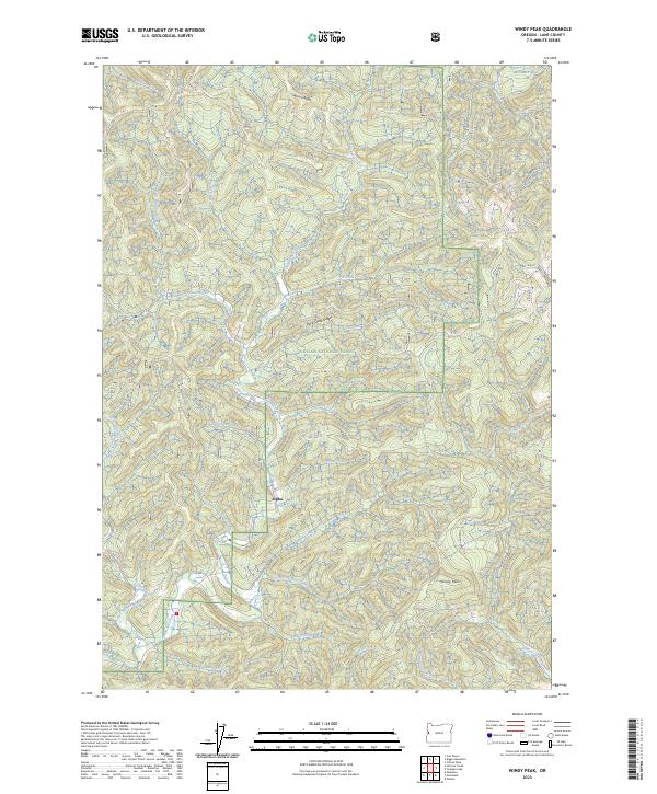
Layered geospatial PDF 7.5 Minute Quadrangle Map. Layers of geospatial data include orthoimagery, roads, grids, geographic names, elevation contours, hydrography, and other selected map features. This map is derived from GIS (geospatial information system) data. It represents a repackaging of GIS data in traditional map form, not creation of new information. The geospatial data in this map are from selected National Map data holdings and other government sources.

Lidar (Light detection and ranging) discrete-return point cloud data are available in the American Society for Photogrammetry and Remote Sensing (ASPRS) LAS format. The LAS format is a standardized binary format for storing 3-dimensional point cloud data and point attributes along with header information and variable length records specific to the data. Millions of data points are stored as a 3-dimensional data cloud as a series of x (longitude), y (latitude) and z (elevation) points. A few older projects in this collection are in ASCII format. Please refer to http://www.asprs.org/Committee-General/LASer-LAS-File-Format-Exchange-Activities.html for additional information. This data set is a LAZ (compressed LAS)...
Lidar (Light detection and ranging) discrete-return point cloud data are available in the American Society for Photogrammetry and Remote Sensing (ASPRS) LAS format. The LAS format is a standardized binary format for storing 3-dimensional point cloud data and point attributes along with header information and variable length records specific to the data. Millions of data points are stored as a 3-dimensional data cloud as a series of x (longitude), y (latitude) and z (elevation) points. A few older projects in this collection are in ASCII format. Please refer to http://www.asprs.org/Committee-General/LASer-LAS-File-Format-Exchange-Activities.html for additional information. This data set is a LAZ (compressed LAS)...
Layered geospatial PDF 7.5 Minute Quadrangle Map. Layers of geospatial data include orthoimagery, roads, grids, geographic names, elevation contours, hydrography, and other selected map features. This map is derived from GIS (geospatial information system) data. It represents a repackaging of GIS data in traditional map form, not creation of new information. The geospatial data in this map are from selected National Map data holdings and other government sources.

Lidar (Light detection and ranging) discrete-return point cloud data are available in the American Society for Photogrammetry and Remote Sensing (ASPRS) LAS format. The LAS format is a standardized binary format for storing 3-dimensional point cloud data and point attributes along with header information and variable length records specific to the data. Millions of data points are stored as a 3-dimensional data cloud as a series of x (longitude), y (latitude) and z (elevation) points. A few older projects in this collection are in ASCII format. Please refer to http://www.asprs.org/Committee-General/LASer-LAS-File-Format-Exchange-Activities.html for additional information. This data set is a LAZ (compressed LAS)...

Lidar (Light detection and ranging) discrete-return point cloud data are available in the American Society for Photogrammetry and Remote Sensing (ASPRS) LAS format. The LAS format is a standardized binary format for storing 3-dimensional point cloud data and point attributes along with header information and variable length records specific to the data. Millions of data points are stored as a 3-dimensional data cloud as a series of x (longitude), y (latitude) and z (elevation) points. A few older projects in this collection are in ASCII format. Please refer to http://www.asprs.org/Committee-General/LASer-LAS-File-Format-Exchange-Activities.html for additional information. This data set is a LAZ (compressed LAS)...
|

|
