Filters: Tags: {"scheme":"USGS Thesaurus"} (X) > Date Range: {"choice":"week"} (X)
90 results (189ms)|
Filters
Date Types (for Date Range)
Types (Less)
Contacts (Less)
Categories (Less)
Tag Types Tags (with Scheme=USGS Thesaurus)
|
This data release contains the concentration results for basic water-quality constituent class parameters (water temperature, pH, turbidity, and specific conductance), total nitrogen, total phosphorous, chloride, and trace elements in surface-water samples collected from two subsites within two vernal pools near Pleasant Grove, New Jersey in 2022-23. In the winter (December 2022 and February 2023) samples were collected at opposing ends of the ponds, or wherever ponding was sufficient for a sample to be taken. An additional sample was collected in July 2023 during the amphibian breeding season. The number of samples collected during each sampling event varied based on water availability and in July 2023 only one...

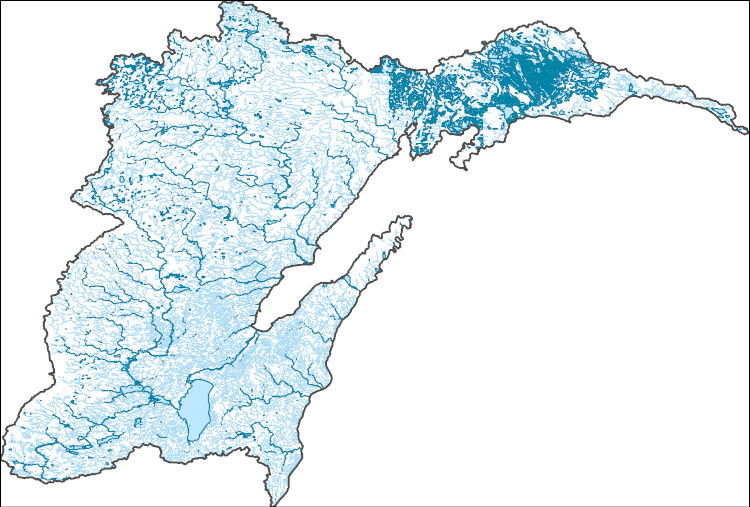
The High Resolution National Hydrography Dataset Plus (NHDPlus HR) is an integrated set of geospatial data layers, including the best available National Hydrography Dataset (NHD), the 10-meter 3D Elevation Program Digital Elevation Model (3DEP DEM), and the National Watershed Boundary Dataset (WBD). The NHDPlus HR combines the NHD, 3DEP DEMs, and WBD to create a stream network with linear referencing, feature naming, "value added attributes" (VAAs), elevation-derived catchments, and other features for hydrologic data analysis. The stream network with linear referencing is a system of data relationships applied to hydrographic systems so that one stream reach "flows" into another and "events" can be tied to and traced...
This data release contains three sets of estimated values at selected sites within the Colorado River Basin: 1) daily specific conductance at 143 sites in the Upper Basin and 3 sites in the Lower Basin (WY 1980-2022); 2) daily baseflow discharge at 100 sites in the Upper Basin and 3 sites in the Lower Basin (WY 1980-2022); and 3) seasonal baseflow discharge and baseflow dissolved solids load at 143 sites in the Upper Basin (WY 1986-2020). The estimates of daily baseflow discharge will be used as input to an application of the USGS GSFLOW model, which is a coupled groundwater and surface-water flow model based on the integration of the USGS Precipitation-Runoff Modeling System (PRMS-V) and the USGS Modular Groundwater...
This Data Release accompanies the publication "State of stress in areas of active unconventional oil and gas development in North America" by J.-E. Lund Snee (now J.-E. Lundstern) and M.D. Zoback (2022) in the AAPG Bulletin. This dataset provides maximum horizontal stress (SHmax) orientation and relative stress magnitude (faulting regime) information that comprise a new-generation crustal stress map for North America. Relative stress magnitudes are presented using the Aϕ (A_phi) parameter, a single scalar that represents the ratio of the three principal stress magnitudes. Data were collected between 2015 and 2022. Data points for SHmax orientations, relative stress magnitudes, and the earthquake focal mechanisms...
Categories: Data;
Types: ArcGIS REST Map Service,
ArcGIS Service Definition,
Downloadable,
GeoTIFF,
Map Service,
OGC WFS Layer,
OGC WMS Layer,
Raster,
Shapefile;
Tags: Canada,
Caribbean Islands,
Caribbean Sea,
Holocene,
NCCWSC,
This data release consists of daily mean streamflow, daily mean suspended sediment concentration (SSC), and daily mean suspended sediment load (SSL) data for selected U.S. Geological Survey (USGS) streamgage sites within the Fountain Creek watershed, separated by water year. Each file also includes USGS approval levels and any associated qualifiers that were applied to the values. The daily mean SSC and daily mean SSL were calculated using the program, Graphical Constituent Loading Analysis System (GCLAS) , and are publicly available in the USGS National Water Information System (NWIS) database. Methods used in GCLAS to calculate daily mean SSC and SSL will not be discussed in this data release (see: User's manual...
This data release provides quantitative whole rock geochemical results from The Geysers vapor-dominated geothermal field in California. The concentrations of major elements are reported in oxide weight percent by wavelength dispersive x-ray fluorescence (WDXRF), the concentrations for sixty elements are reported in elemental weight percent (pct) or parts per million (ppm) from inductively coupled plasma-optical emission spectrometry-mass spectrometry ICP-OES-MS analysis, mercury is reported in ppm by cold vapor atomic absorption spectrometry (CVAAS), and ammonium in ppm from automated colorimetry analysis. The analyses show significant enrichment of volatile elements and elements such as sulfur, boron, arsenic,...
Categories: Data;
Types: Downloadable,
Map Service,
OGC WFS Layer,
OGC WMS Layer,
Shapefile;
Tags: California,
GGGSC,
Geochemistry,
Geology, Geophysics, and Geochemistry Science Center,
Lake County,
This data release provides semiquantitative mineralogy results from X-ray diffraction (XRD) analyses of mineral scales from The Geysers vapor-dominated geothermal field in California. The mineral species and their abundances are reported in weight percent and values have been normalized to total 100 percent for each sample. The X-ray diffraction results show that the mineral samples from the wellheads are primarily composed of ammonium (NH4+) sulfate minerals and sassolite B(OH)3, whereas sulfide minerals such as cinnabar and pyrite are the most abundant minerals observed in the power plants. Mineral scales vary along the steam flow path, from the wellhead to power plants. Relatively abundant iron oxide and iron...
Categories: Data;
Types: Downloadable,
Map Service,
OGC WFS Layer,
OGC WMS Layer,
Shapefile;
Tags: California,
GGGSC,
Geochemistry,
Geology, Geophysics, and Geochemistry Science Center,
Lake County,
Note: this data release has been deprecated. Please see new data release here: https://doi.org/10.5066/P13JSLF6. This data release provides digital flight line data for a high-resolution airborne magnetic survey over parts of Montana in the vicinity of the Boulder Batholith. The airborne survey was jointly funded by the Earth Mapping Resources Initiative and Kennecott Exploration Company. The survey was designed to meet complementary needs related to geologic mapping and characterization of mineral resource potential. A total of 34,041-line km of magnetic and radiometric data were acquired over an irregular-shaped area of 6178 km2. Data were collected from a helicopter flown at a nominal terrain clearance of 100...

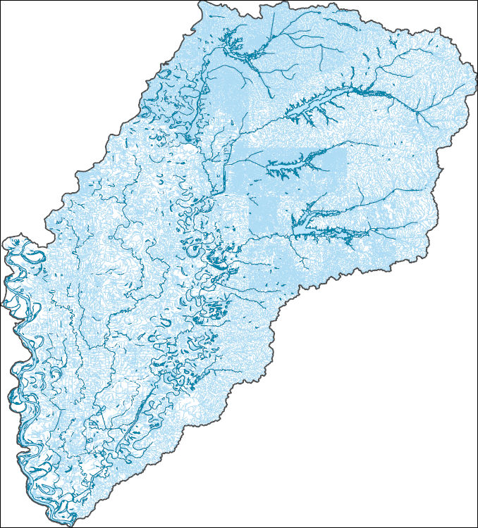
The High Resolution National Hydrography Dataset Plus (NHDPlus HR) is an integrated set of geospatial data layers, including the best available National Hydrography Dataset (NHD), the 10-meter 3D Elevation Program Digital Elevation Model (3DEP DEM), and the National Watershed Boundary Dataset (WBD). The NHDPlus HR combines the NHD, 3DEP DEMs, and WBD to create a stream network with linear referencing, feature naming, "value added attributes" (VAAs), elevation-derived catchments, and other features for hydrologic data analysis. The stream network with linear referencing is a system of data relationships applied to hydrographic systems so that one stream reach "flows" into another and "events" can be tied to and traced...

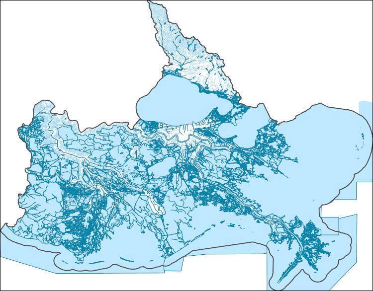
The High Resolution National Hydrography Dataset Plus (NHDPlus HR) is an integrated set of geospatial data layers, including the best available National Hydrography Dataset (NHD), the 10-meter 3D Elevation Program Digital Elevation Model (3DEP DEM), and the National Watershed Boundary Dataset (WBD). The NHDPlus HR combines the NHD, 3DEP DEMs, and WBD to create a stream network with linear referencing, feature naming, "value added attributes" (VAAs), elevation-derived catchments, and other features for hydrologic data analysis. The stream network with linear referencing is a system of data relationships applied to hydrographic systems so that one stream reach "flows" into another and "events" can be tied to and traced...
Indiana Dunes National Park is a project within the AMMonitor community, which features projects that monitor wildlife and ecosystems with remotely deployed monitoring devices. Devices that capture media typically include trail cameras (photos, video) and/or autonomous recording units (audio). As with all AMMonitor projects, Indiana Dunes National Park utilizes an AMMonitor SQLite database to track wildlife monitoring data in a standardized format, permitting cross-project collaboration. The monitoring data are released to the public in “volumes”. Releases include the raw media files and their metadata, including the date, time, and location of media capture. Additional attachments at the volume level include human-...
The Louisiana State Legislature created the Coastal Wetlands Planning, Protection and Restoration Act (CWPPRA) in order to conserve, restore, create and enhance Louisiana's coastal wetlands. The wetland restoration plans developed pursuant to these acts specifically require an evaluation of the effectiveness of each coastal wetlands restoration project in achieving long-term solutions to arresting coastal wetlands loss. This data set includes mosaicked aerial photographs for the Northwest Turtle Bay Marsh Creation) project for 2021. This data is used as a basemap land-water classification. It also serves as a visual tool for project managers to help them identify any obvious problems or land loss within their project...
Categories: Data;
Types: Downloadable,
GeoTIFF,
Map Service,
Raster;
Tags: BA-0125,
CWPPRA,
Geography,
Gulf of Mexico,
Land Use Change,
Data were collected during experiments to determine the effects of water chemistry on carbon dioxide toxicity to zebra mussels (Dreissena polymorpha). Water chemistry parameters were collected for the water used in the study. Data were collected to model the relationship of carbon dioxide and pH in various water chemistries. Measurements were made to describe the animals used in the study.
Categories: Data;
Tags: Aquatic Biology,
USGS Science Data Catalog (SDC),
Water Quality,
Water Resources,
Wildlife Biology,

The High Resolution National Hydrography Dataset Plus (NHDPlus HR) is an integrated set of geospatial data layers, including the best available National Hydrography Dataset (NHD), the 10-meter 3D Elevation Program Digital Elevation Model (3DEP DEM), and the National Watershed Boundary Dataset (WBD). The NHDPlus HR combines the NHD, 3DEP DEMs, and WBD to create a stream network with linear referencing, feature naming, "value added attributes" (VAAs), elevation-derived catchments, and other features for hydrologic data analysis. The stream network with linear referencing is a system of data relationships applied to hydrographic systems so that one stream reach "flows" into another and "events" can be tied to and traced...
These datasets (e.g., 'Starved Rock fish clearing_multi-beam imaging sonar fish data_Pre-clearing_Sonar-s1.csv') include exported information (e.g., fish detection counts) from processed fixed-location multi-beam imaging sonar and mobile side-scan sonar data. Fish abundance in the navigation lock was determined using mobile side-scan surveys, while multi-beam imaging sonars were used to determine fish counts relative to time (i.e., fish per minute). The datasets were used to examine the efficacy of electricity and underwater acoustics, used in tandem, to affect fish abundance (as determined by hydroacoustic data sampling).
Categories: Data;
Tags: Illinois River,
Starved Rock Lock and Dam,
USGS Science Data Catalog (SDC),
aquatic biology,
invasive species,
This data release contains the U.S. salient statistics and world production data extracted from the BISMUTH data sheet of the USGS Mineral Commodity Summaries 2024.
Provided here is a globally distributed catalog of earthquakes and nuclear explosions with calibrated hypocenters, referred to as the Global Catalog of Calibrated Earthquake Locations or GCCEL. This dataset contains more than 23,908 earthquakes in 346 well distributed clusters. Currently there are more than 4M arrival times with the majority being the Pg, Pn, P, Sg, Sn and S phases. The term “calibrated” refers to the property that the hypocenters are minimally biased by unknown Earth structure and that the uncertainties are meaningful. Uncertainties are calculated using empirically determined variability of the arrival time data itself, specific to each calibrated cluster of hypocenters. The data are carefully...
Categories: Data;
Types: Downloadable,
Map Service,
OGC WFS Layer,
OGC WMS Layer,
Shapefile;
Tags: Earth,
biota,
earthquake occurrences,
earthquakes,
earthquakes,
This dataset contains records from implanted and not implanted temperature logging tags, body sizes of fish implanted with temperature logging tags, times the fish/tags were transferred from one temperature to another, and the time the temperature recorded by the tag equilibrated with ambient water conditions. Data were collected to compare thermal equilibration rate of temperature recording tags implanted in the coelomic cavity of lab reared brook trout to temperature recording tags not implanted in fish. Tagged fish and not implanted tags were moved rapidly between 8 C and 16 C and also subjected to slow (2 C per hour) thermal ramp.
The Neversink River watershed (above the Neversink Reservoir) in the Catskill Mountains of New York, USA has been a focus of U.S. Geological Survey research for decades regarding stream geochemistry, acidification, and ecology dynamics. In 2019, the Water Mission Area Next Generation Water Observing Systems Program (NGWOS) augmented the existing stream gage network to include multiscale instrumentation aimed at characterizing various aspects of groundwater discharge to streams, including the collection of paired air and stream water temperature monitoring stations. Groundwater discharge from hillslopes and underlying aquifers acts as an important component of stream baseflow, and influences stream thermal regimes,...
Comma Separated Value (CSV) file containing data related to total and methyl mercury concentrations in biota from the Willamette Basin in Oregon; specifically, Cottage Grove Reservoir, waters upstream of the reservoir, and additional reservoirs within the Willamette Basin.
|

|