Filters: Tags: {"type":"Place","scheme":"The National Map Place Thesaurus"} (X) > partyWithName: U.S. Geological Survey, National Geospatial Technical Operations Center (X)
35 results (120ms)|
Filters
Date Range
Types Contacts Tags (with Type=Place and Scheme=The National Map Place Thesaurus) |

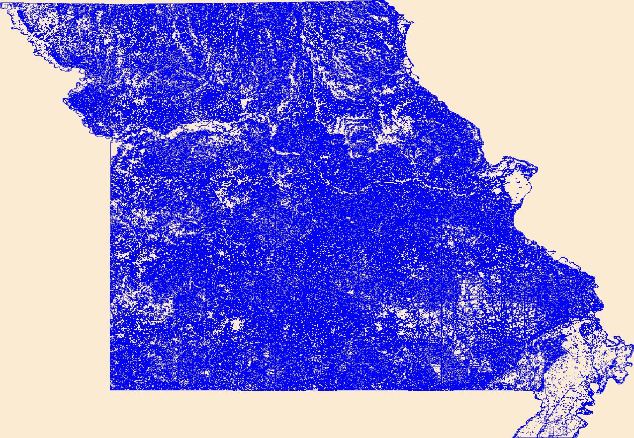
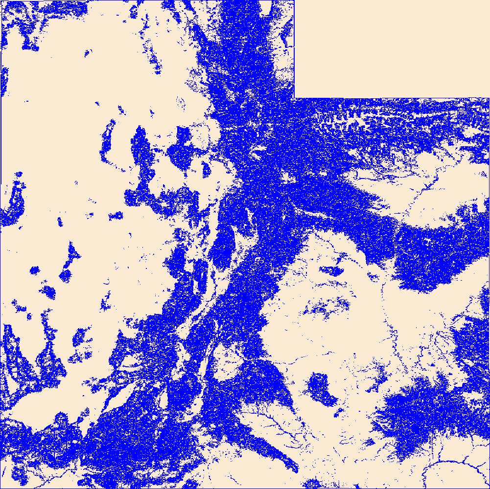
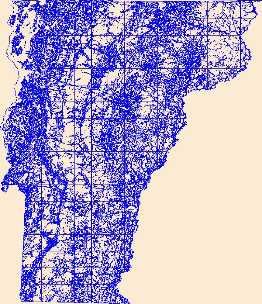
Geospatial data that is a derivative land cover product depicting woodland on topographic maps.

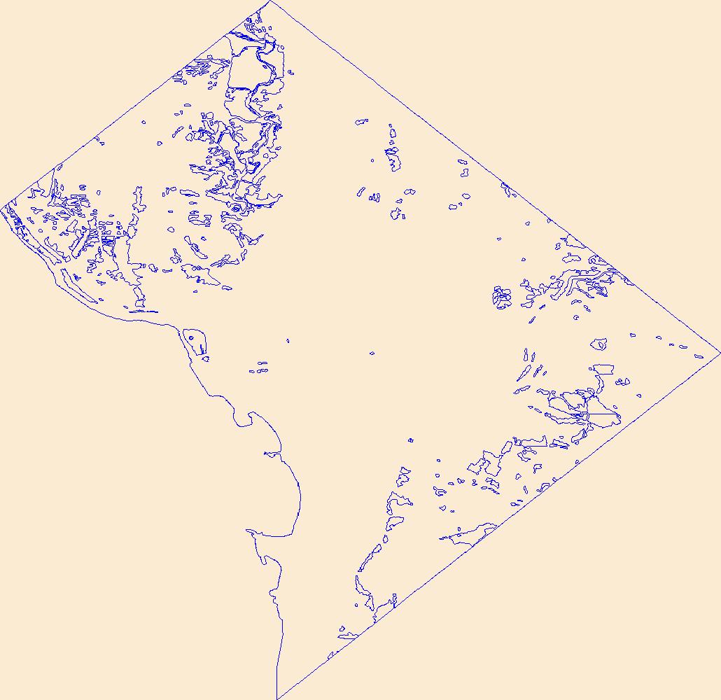
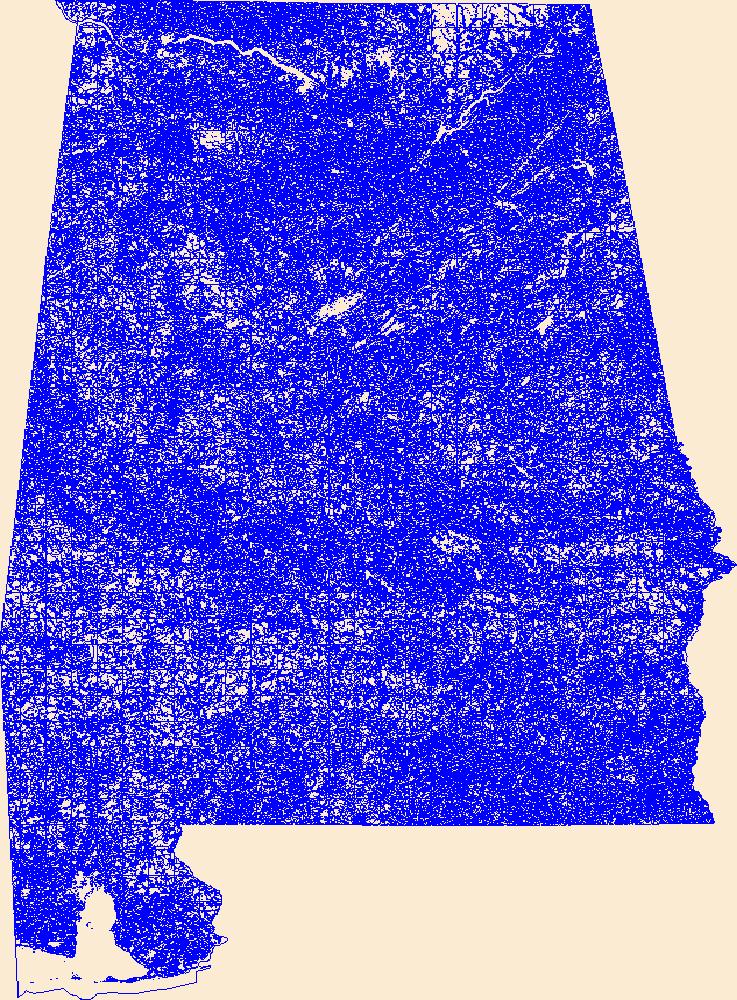
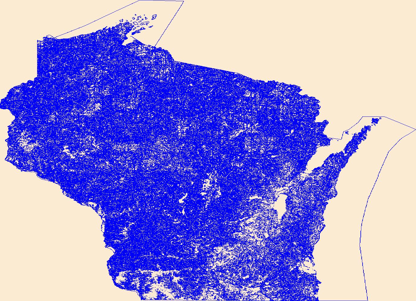
Geospatial data that is a derivative land cover product depicting woodland on topographic maps.

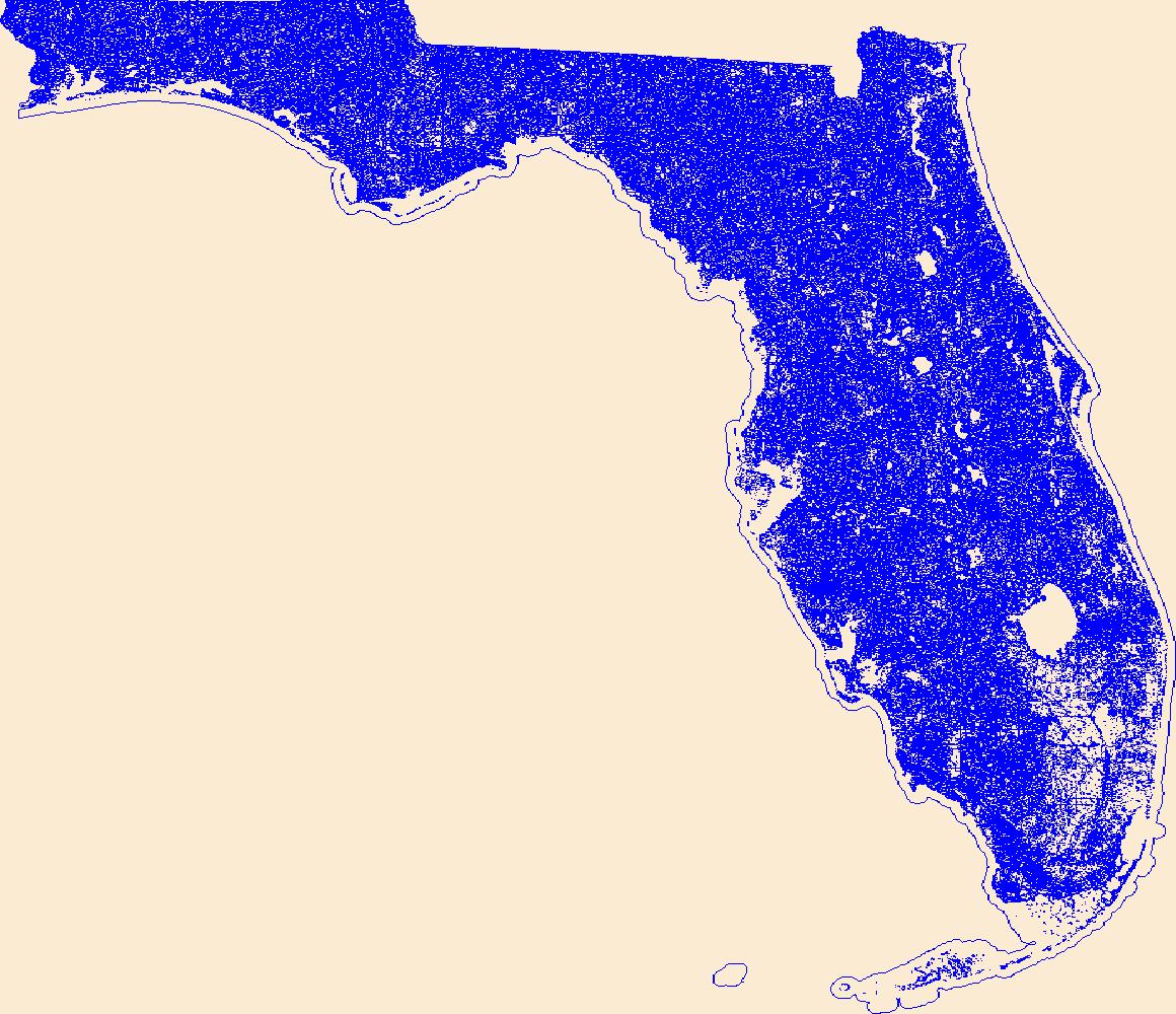
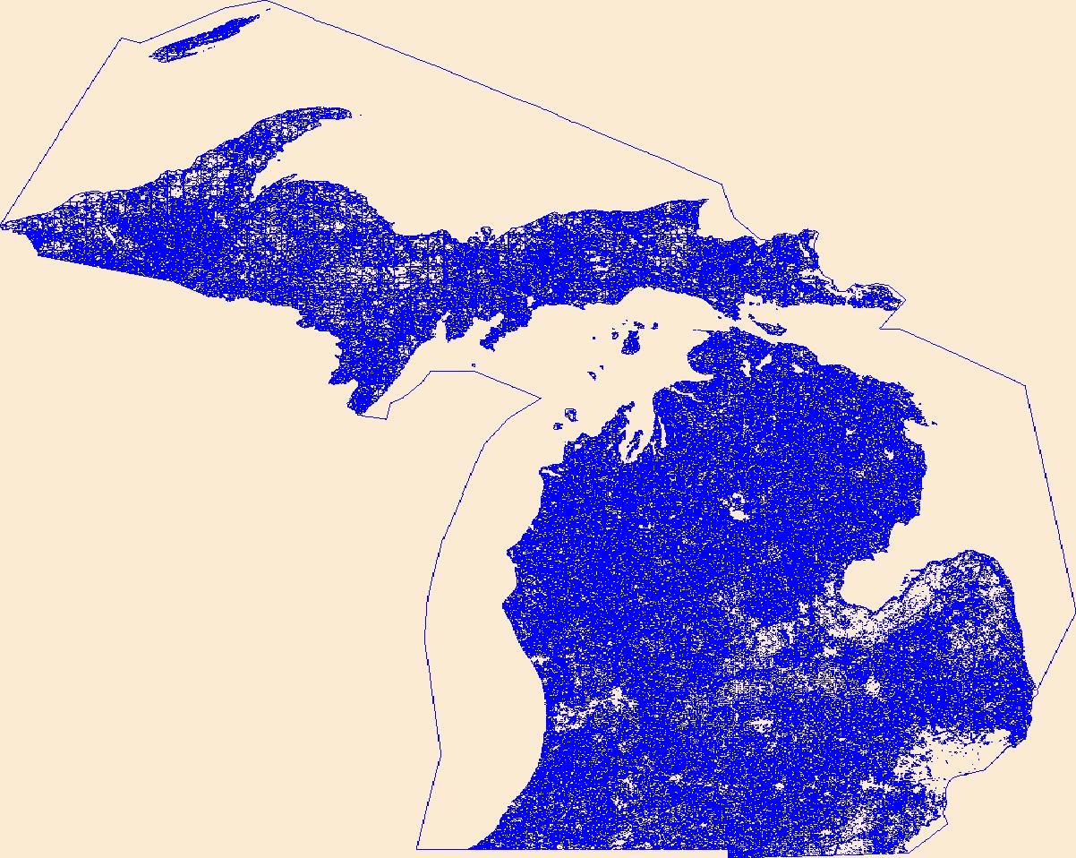
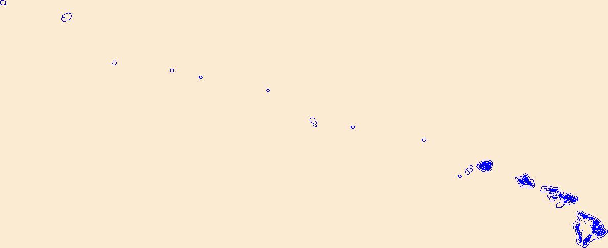
Geospatial data that is a derivative land cover product depicting woodland on topographic maps.

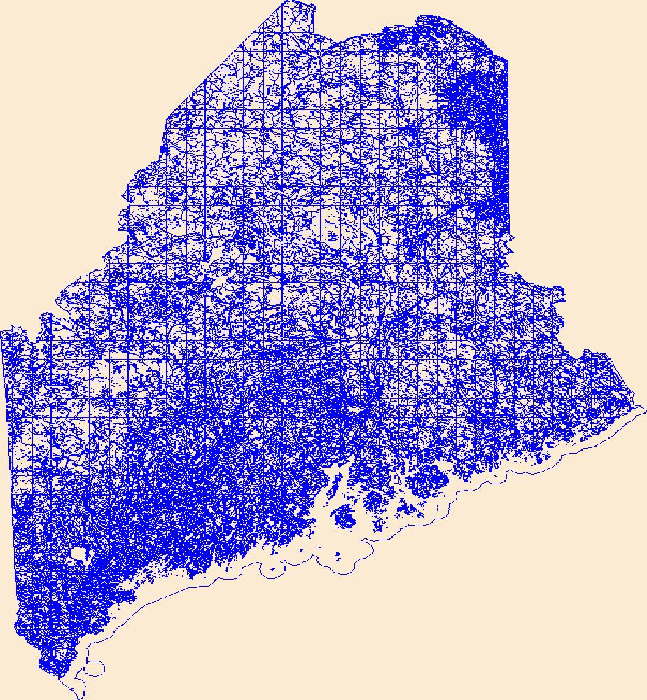
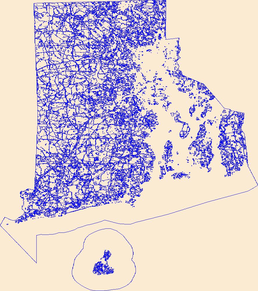
Geospatial data that is a derivative land cover product depicting woodland on topographic maps.
Geospatial data that is a derivative land cover product depicting woodland on topographic maps.
Geospatial data that is a derivative land cover product depicting woodland on topographic maps.
Geospatial data that is a derivative land cover product depicting woodland on topographic maps.
Geospatial data that is a derivative land cover product depicting woodland on topographic maps.
Geospatial data that is a derivative land cover product depicting woodland on topographic maps.

Geospatial data that is a derivative land cover product depicting woodland on topographic maps.
Geospatial data that is a derivative land cover product depicting woodland on topographic maps.
Geospatial data that is a derivative land cover product depicting woodland on topographic maps.

Geospatial data that is a derivative land cover product depicting woodland on topographic maps.
Geospatial data that is a derivative land cover product depicting woodland on topographic maps.
Geospatial data that is a derivative land cover product depicting woodland on topographic maps.

Geospatial data that is a derivative land cover product depicting woodland on topographic maps.
Geospatial data that is a derivative land cover product depicting woodland on topographic maps.

Geospatial data that is a derivative land cover product depicting woodland on topographic maps.
Geospatial data that is a derivative land cover product depicting woodland on topographic maps.

Geospatial data that is a derivative land cover product depicting woodland on topographic maps.
|

|
