Filters: Tags: Alturas (X)
34 results (143ms)|
Filters
Date Range
Extensions Types Contacts
Categories Tag Types Tag Schemes |
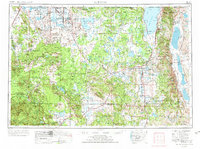
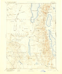
USGS Historical Quadrangle in GeoPDF.
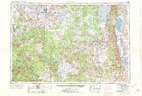
USGS Historical Quadrangle in GeoPDF.
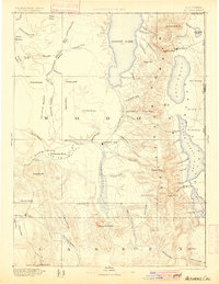
USGS Historical Quadrangle in GeoPDF.
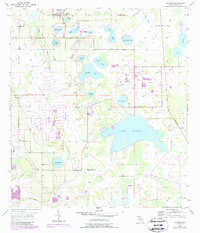
USGS Historical Quadrangle in GeoPDF.
USGS Historical Quadrangle in GeoPDF.
The Likely Tables herd contains migrants, but this herd does not migrate between traditional summer and winter seasonal ranges. Instead, much of the herd displays a nomadic tendency, slowly migrating north for the summer using various high use areas as they move. Therefore, annual ranges were modeled using year-round data to demarcate high use areas in lieu modeling specific winter ranges. A high use area being used during winter by many of the collared animals is west of the Warner Mountains, east of U.S. Highway 395, and north of Moon Lake. Some animals live in the agricultural fields west of U.S. Highway 395. There appears to be little if any movement across the highway, which is fenced on both sides in this...
Categories: Data;
Types: Downloadable,
Map Service,
OGC WFS Layer,
OGC WMS Layer,
Shapefile;
Tags: Alturas,
California,
United States,
animal behavior,
biota,
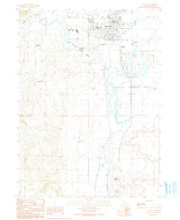
USGS Historical Quadrangle in GeoPDF.
USGS Historical Quadrangle in GeoPDF.
USGS Historical Quadrangle in GeoPDF.
USGS Historical Quadrangle in GeoPDF.
This data release provides access to an aeromagnetic survey over a part of northeastern California, an area that includes the city of Alturas, California. The survey extends across the Devils Garden part of the Modoc Plateau (west of the Warner Range) and westward to over Medicine Lake volcano. The survey covers the Likely fault zone, an enigmatic northwest-striking set of structures with possible Quaternary activity, and extends south across the Madelaine Plains. These data were acquired between September 24 and November 2, 2019, by EDCON-PRJ, Inc., working under contract to the U.S. Geological Survey. The nominal flying height was based on a best fit, pre-planned, three-dimensional draped surface targeted...
Categories: Data;
Tags: Alturas,
Canby,
Geophysics,
USGS Science Data Catalog (SDC),
aeromagnetic surveying,
USGS Historical Quadrangle in GeoPDF.
USGS Historical Quadrangle in GeoPDF.
USGS Historical Quadrangle in GeoPDF.
The Likely Tables herd contains migrants, but this herd does not migrate between traditional summer and winter seasonal ranges. Instead, much of the herd displays a nomadic tendency, slowly migrating north for the summer using various high use areas as they move. Therefore, annual ranges were modeled using year-round data to demarcate high use areas in lieu modeling specific winter ranges. A high use area being used during winter by many of the collared animals is west of the Warner Mountains, east of U.S. Highway 395, and north of Moon Lake. Some animals live in the agricultural fields west of U.S. Highway 395. There appears to be little if any movement across the highway, which is fenced on both sides in this...
Categories: Data;
Types: Downloadable,
Map Service,
OGC WFS Layer,
OGC WMS Layer,
Shapefile;
Tags: Alturas,
California,
United States,
animal behavior,
biota,
This data release contains gridded aeromagnetic data from a dataset that merges two aeromagnetic surveys of northeastern California. Data from the Alturas and Burney surveys were gridded and merged to provide a continuous, detailed aeromagnetic dataset of the region. The merged dataset was then corrected for the inclination of the Earth's magnetic field (reduced to pole or rtp); match-filtering of the merged rtp gridded dataset provides three dipole-equivalent source layers at 0.85 km (shallow), 3.28 km (medium), and 16.4 (deep) km. Magnetization boundaries were calculated using the maximum horizontal gradient method on the match-filtered gridded data. Lastly, a magnetic field caused by magnetic terrain was calculated...
Categories: Data;
Tags: Alturas,
Canby,
Geophysics,
USGS Science Data Catalog (SDC),
aeromagnetic surveying,
USGS Historical Quadrangle in GeoPDF.
USGS Historical Quadrangle in GeoPDF.

USGS Historical Quadrangle in GeoPDF.
|

|
