Filters: Tags: Arkansas (X) > Date Range: {"choice":"month"} (X)
30 results (45ms)|
Filters
Date Types (for Date Range)
Types Contacts
Categories Tag Types
|
The Geographic Names Information System (GNIS) is the Federal standard for geographic nomenclature. The U.S. Geological Survey developed the GNIS for the U.S. Board on Geographic Names, a Federal inter-agency body chartered by public law to maintain uniform feature name usage throughout the Government and to promulgate standard names to the public. The GNIS is the official repository of domestic geographic names data; the official vehicle for geographic names use by all departments of the Federal Government; and the source for applying geographic names to Federal electronic and printed products of all types.
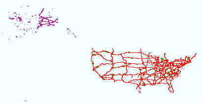
Layers of geospatial data include roads, airports, trails, and railroads.
The Western Interior Plains aquifer system is located in parts of Arkansas, Colorado, Kansas, Missouri, Nebraska, New Mexico, Oklahoma, South Dakota, Texas, and Wyoming and covers an area of more than 220,800 square miles. The thickness of the aquifer system ranges from 500 feet in eastern Colorado (HA 730-D) to as much as 10,000 feet in western Oklahoma (PP_1414B). This aquifer system consists of water-bearing dolostone, limestone, and shale and overlies the basement confining unit in the western part of the Interior Plains physiographic division. This aquifer system consists of the upper aquifer unit (A1), a middle confining unit, and the lower aquifer unit (A2). The aquifer system is overlain by the Western Interior...
This dataset was developed to estimate point-source total nitrogen and phosphorous loads to streams in the conterminous United States (U.S.) from December 1999 to November 2020. This dataset uses discharge and concentration information from point sources to streams in the conterminous United States from the U.S. Environmental Protection Agency (EPA) Integrated Compliance Information System - Permit Compliance System (ICIS-PCS) database. Nutrient concentrations were used to calculate point source loads. However, measured concentration data was often not available so “typical pollutant concentrations” (TPCs) were developed using concentration data from the same facility but a different time or from similar facilities....
The U.S. Geological Survey (USGS), in cooperation with the Oklahoma Water Resources Board (OWRB), constructed a finite-difference numerical groundwater-flow model of the Boone and Roubidoux aquifers in northeastern Oklahoma by using MODFLOW-NWT (version 1.1.4) with the Newton formulation solver to simulate groundwater flow and account for the drying and rewetting of cells within the groundwater-flow model. The numerical groundwater-flow model was discretized into four layers consisting of 354 rows by 261 columns with a 2,000-feet by 2,000-feet cell size. The model layers were used to simulate the Western Interior Plains confining system, the Boone aquifer, the Ozark confining unit, and the Roubidoux aquifer. The...
Note: this data release has been deprecated. Please see new data release here: https://doi.org/10.5066/P9Y2HOUJ. These data were originally released on the Water Mission Area National Spatial Data Infrastructure (NSDI) Node and were migrated to ScienceBase in 2023. This data release has since been identified as a duplicate record stemming from the migration of two distinct offerings of identical data on the NSDI node. These data were released prior to the October 1, 2016 effective date for the USGS’s policy dictating the review, approval, and release of scientific data as referenced in USGS Survey Manual Chapter 502.8 Fundamental Science Practices: Review and Approval of Scientific Data for Release. This map...

Layers of geospatial data include roads, airports, trails, and railroads.
National watershed boundary (HUC12) dataset for the conterminous United States, retrieved 10/26/2020
This child item provides a snapshot of the watershed boundary dataset which consists of a shapefile with 87,020 12-digit hydrologic unit codes (HUC12) for the conterminous United States retrieved 10/26/2020. The National Watershed Boundary Dataset (WBD) is a comprehensive set of digital spatial data that represents the surface drainages areas of the United States. Although versions of the WBD are published as part of U.S. Geological Survey National Hydrography Products, the version used to produce the water-use reanalysis was not archived and is provided here. This dataset is part of a larger data release using machine learning to predict public supply water use for 12-digit hydrologic units from 2000-2020. Public-supply...
This child item describes Python code used to retrieve gridMET climate data for a specific area and time period. Climate data were retrieved for public-supply water service areas, but the climate data collector could be used to retrieve data for other areas of interest. This dataset is part of a larger data release using machine learning to predict public supply water use for 12-digit hydrologic units from 2000-2020. Data retrieved by the climate data collector code were used as input feature variables in the public supply delivery and water use machine learning models. This page includes the following file: climate_data_collector.zip - a zip file containing the climate data collector Python code used to retrieve...
This child item describes R code used to determine public supply consumptive use estimates. Consumptive use was estimated by scaling an assumed fraction of deliveries used for outdoor irrigation by spatially explicit estimates of evaporative demand using estimated domestic and commercial, industrial, and institutional deliveries from the public supply delivery machine learning model child item. This method scales public supply water service area outdoor water use by the relationship between service area gross reference evapotranspiration provided by GridMET and annual continental U.S. (CONUS) growing season maximum evapotranspiration. This relationship to climate at the CONUS scale could result in over- or under-estimation...
This child item describes a machine learning model that was developed to estimate public-supply water use by water service area (WSA) boundary and 12-digit hydrologic unit code (HUC12) for the conterminous United States. This model was used to develop an annual and monthly reanalysis of public supply water use for the period 2000-2020. This data release contains model input feature datasets, python codes used to develop and train the water use machine learning model, and output water use predictions by HUC12 and WSA. Public supply water use estimates and statistics files for HUC12s are available on this child item landing page. Public supply water use estimates and statistics for WSAs are available in public_water_use_model.zip....
This child item describes R code used to determine water source fractions (groundwater (GW), surface water (SW), or spring (SP)) for public-supply water service areas, counties, and 12-digit hydrologic unit codes (HUC12) using information from a proprietary dataset from the U.S. Environmental Protection Agency. Water-use volumes per source were not available from public-supply systems so water source fractions were calculated by the number of withdrawal source types (GW/SW). For example, for a public supply system with three SW intakes and one GW well, the fractions would be 0.75 SW and 0.25 GW. This dataset is part of a larger data release using machine learning to predict public supply water use for 12-digit hydrologic...
Geoheritage is a term which lies at the intersection of science, society, and sustainability and is applied to significant geologic features and landforms that have scientific, educational, cultural, economic, and aesthetic value. Many geologic sites have enriched society through the geoheritage values: scientific research and education, cultural significance, economic opportunities, and aesthetic appeal. The Geoheritage Sites of the Nation geodatabase (GDB) provides an initial inventory of geoheritage sites to showcase the geodiversity and natural heritage throughout the United States (U.S.) and its territories. Sites included in this inventory were selected from compiled geosite references of in situ geologic...
U.S. Geological Survey Southeast Region inland bathymetric survey data are compiled to create a survey inventory providing survey records including survey system and product information, and links to survey datasets when available. Dataset footprints including this information and showing the location and extent of surveys can be downloaded as a geodatabase and can be accessed through Spatial Services provided here.
Categories: Data;
Types: ArcGIS REST Map Service,
ArcGIS Service Definition,
Downloadable,
Map Service,
OGC WFS Layer,
OGC WMS Layer,
OGC WMS Service,
Shapefile;
Tags: Acoustic Sonar,
Acoustic sonar,
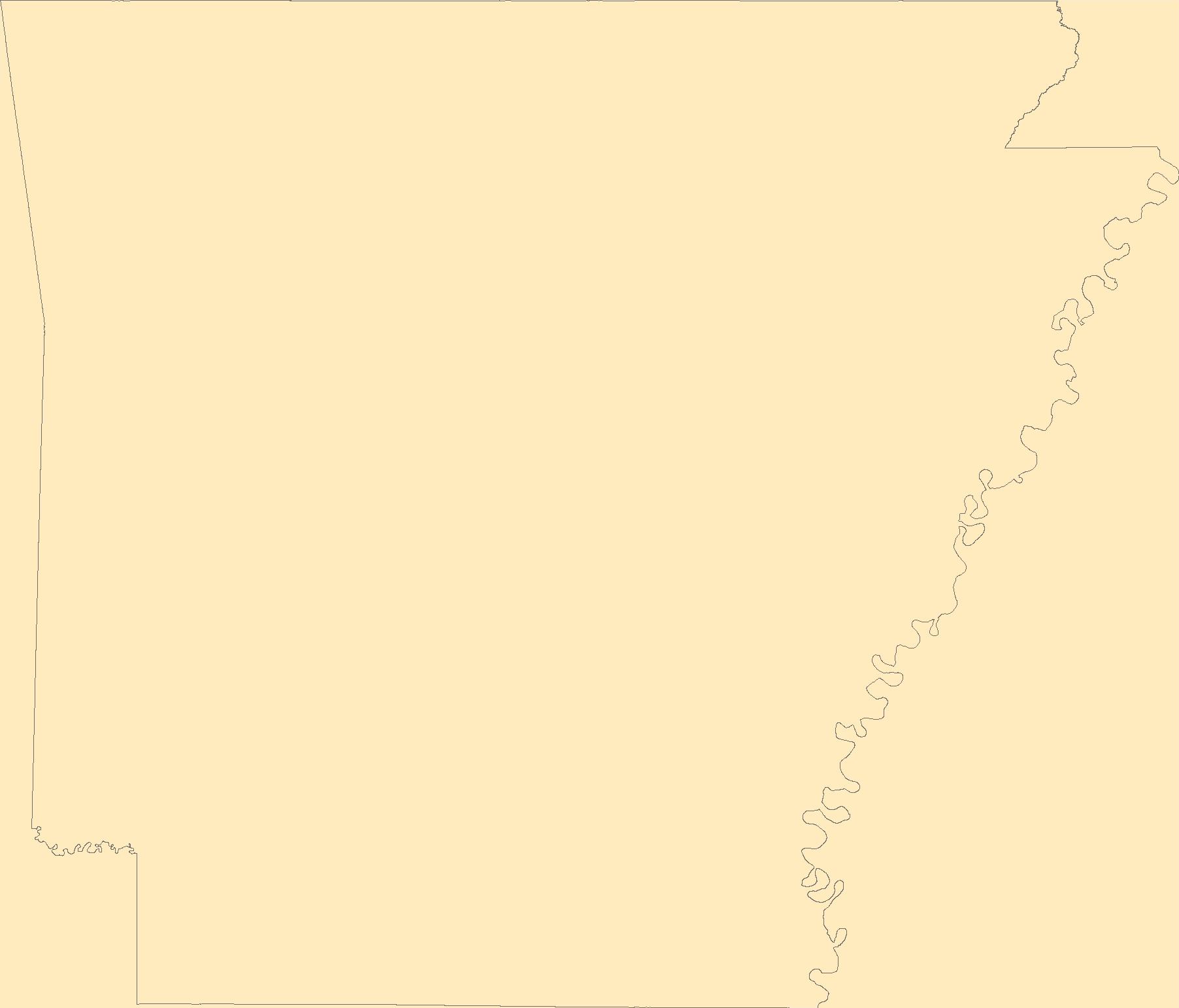
Arkansas,
Bathymetry,
Bathymetry,
These data were compiled in support of the "Predicting the next high-impact insect invasion: Elucidating traits and factors determining the risk of introduced herbivorous insects on North American native plants" project supported by the U.S. Geological Survey John Wesley Powell Center for Analysis and Synthesis, as well as the "Forecasting high-impact insect invasions by integrating probability models with i-Tree from urban to continental scales" project supported by the USDA Forest Service National Urban and Community Forestry Advisory Council. The project working group compiled data for non-native, tree-feeding insects in North America. Data were synthesized from existing resources for a variety of insect traits,...
Electrical resistivity results from four regional airborne electromagnetic (AEM) surveys (Burton et al. 2024, Hoogenboom et al. 2023, Minsley et al. 2021 and Burton et al. 2021) over the Mississippi Alluvial Plain (MAP) were combined by the U.S. Geological Survey to produce three-dimensional (3D) gridded models and derivative hydrogeologic products. These products were first published using data from the first two AEM regional surveys, labeled with the year “2020” (Minsley et al. 2021, Burton et al. 2021). The 3D resistivity models and select derivative products were later updated by incorporating additional data from the two subsequent AEM surveys, labeled with the year “2022” (Burton et al. 2024, Hoogenboom et...
Categories: Data,
Data Release - Revised;
Types: ArcGIS REST Map Service,
ArcGIS Service Definition,
Downloadable,
Map Service;
Tags: 3D,
Arkansas,
Arkansas River,
GGGSC,
Geology, Geophysics, and Geochemistry Science Center,
This dataset contains the groundwater well locations and water-level measurements for 306 wells measured during the water-level survey of the Sparta-Memphis aquifer, in Arkansas, January through May 2013. Well-location and water-level data is publicly available from the U.S. Geological Survey's National Water Information System.
Categories: Data;
Types: Downloadable,
Map Service,
OGC WFS Layer,
OGC WMS Layer,
Shapefile;
Tags: Arkansas,
Mississippi Embayment aquifer system,
Sparta-Memphis Sand,
aquifer,
geoscientificInformation,
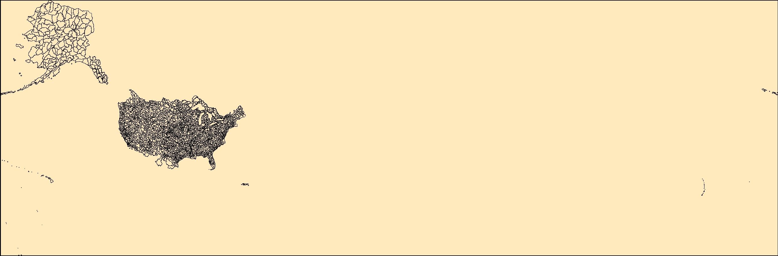
The Watershed Boundary Dataset (WBD) is a comprehensive aggregated collection of hydrologic unit data consistent with the national criteria for delineation and resolution. It defines the areal extent of surface water drainage to a point except in coastal or lake front areas where there could be multiple outlets as stated by the "Federal Standards and Procedures for the National Watershed Boundary Dataset (WBD)" "Standard" (https://pubs.usgs.gov/tm/11/a3/). Watershed boundaries are determined solely upon science-based hydrologic principles, not favoring any administrative boundaries or special projects, nor particular program or agency. This dataset represents the hydrologic unit boundaries to the 12-digit (6th level)...
These data were released prior to the October 1, 2016 effective date for the USGS’s policy dictating the review, approval, and release of scientific data as referenced in USGS Survey Manual Chapter 502.8 Fundamental Science Practices: Review and Approval of Scientific Data for Release. This map layer contains the shallowest principal aquifers of the conterminous United States, Hawaii, Puerto Rico, and the U.S. Virgin Islands, portrayed as polygons. The map layer was developed as part of the effort to produce the maps published at 1:2,500,000 in the printed series "Ground Water Atlas of the United States". The published maps contain base and cultural features not included in these data. This is a replacement for...
The U.S. Geological Survey is developing national water-use models to support water resources management in the United States. Model benefits include a nationally consistent estimation approach, greater temporal and spatial resolution of estimates, efficient and automated updates of results, and capabilities to forecast water use into the future and assess model uncertainty. The term “reanalysis” refers to the process of reevaluating and recalculating water-use data using updated or refined methods, data sources, models, or assumptions. In this data release, water use refers to water that is withdrawn by public and private water suppliers and includes water provided for domestic, commercial, industrial, thermoelectric...
|

|
