Filters: Tags: Atascadero (X)
6 results (10ms)|
Filters
Date Range
Extensions Types Contacts
Categories Tag Types Tag Schemes |
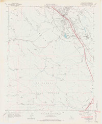
USGS Historical Quadrangle in GeoPDF.
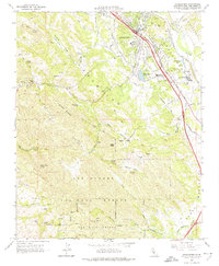
USGS Historical Quadrangle in GeoPDF.
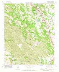
USGS Historical Quadrangle in GeoPDF.
The Paso Robles groundwater basin (PR) encompasses approximately 500,000 acres and is located in the upper portion of the Salinas River watershed in the San Luis Obispo (SLO) and Monterey counties, Central Coast region of California (.\ancillary\Figures\Figure 1. Site Map.tif from this data release; California Department of Water Resources, 2003). Agriculture makes up a large part of the regional economy and agricultural water demand is the single largest component of total water demands in San Luis Obispo County (SLO; Fugro West, Inc and others, 2005). As such, future water supply sustainability is an important water management objective. To quantitatively evaluate long-term trends in groundwater levels, inflow,...
Categories: Data;
Types: Downloadable,
Map Service,
OGC WFS Layer,
OGC WMS Layer,
Shapefile;
Tags: Atascadero,
California,
Hydrology,
Land Use Change,
Monterey County,
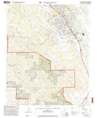
USGS Historical Quadrangle in GeoPDF.
USGS Historical Quadrangle in GeoPDF.
|

|
