Filters: Tags: Austin (X)
210 results (57ms)|
Filters
Date Range
Types Contacts
Categories Tag Types
|
Soil samples were collected from Lady Bird Johnson Lake, Austin, Texas in 2019 to generate seed bank data for the rare plant Physostegia correllii. Seed germination data was produced from the soil samples kept in a greenhouse at the Wetland and Aquatic Research Center in Lafayette, LA.
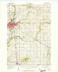
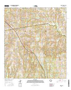
USGS Historical Quadrangle in GeoPDF.
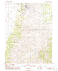
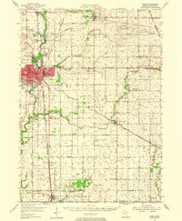
USGS Historical Quadrangle in GeoPDF.
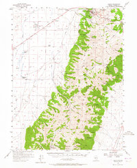
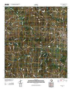
USGS Historical Quadrangle in GeoPDF.
Core Research Center, cutting HH01886, from well operated by PIONEER NATURAL RESOURCESRaw Properties from download, web scrape, MapServer, and Macrostrat API{"Lib Num": "HH01886", "API Num": "4228333475", "Operator": "PIONEER NATURAL RESOURCES", "Well Name": "WASHBURN RANCH 01 03H", "Field": "EAGLEVILLE", "State": "TX", "County": "LA SALLE", "Thin Sec": "F", "Analysis": "F", "Latitude": "28.35864", "Longitude": "-98.88636", "coordinates_geohash": "9v19mf91hc9s", "Source": "PROVIDED BY DONOR", "Min": "560", "Max": "17525", "Security Flag": "NO SPECIAL RESTRICTIONS", "crc_collection_name": "cutting", "sb_parent_id": "4f4e49d8e4b07f02db5df2d2", "intervals": [{"Formation": "EAGLE FORD", "Age": "CRETACEOUS", "Min Depth":...
Core Research Center, cutting HH01897, from well operated by PIONEER NATURAL RESOURCESRaw Properties from download, web scrape, MapServer, and Macrostrat API{"Lib Num": "HH01897", "API Num": "4228333911", "Operator": "PIONEER NATURAL RESOURCES", "Well Name": "WASHBURN RANCH 04 03H", "Field": "EAGLEVILLE", "State": "TX", "County": "LA SALLE", "Thin Sec": "F", "Analysis": "F", "Latitude": "28.378772", "Longitude": "-98.918317", "coordinates_geohash": "9v19mn1yk4sb", "Source": "PROVIDED BY DONOR", "Min": "200", "Max": "16710", "Security Flag": "NO SPECIAL RESTRICTIONS", "crc_collection_name": "cutting", "sb_parent_id": "4f4e49d8e4b07f02db5df2d2", "intervals": [{"Formation": "EAGLE FORD", "Age": "CRETACEOUS", "Min Depth":...
Core Research Center, cutting HH01905, from well operated by PIONEER NATURAL RESOURCESRaw Properties from download, web scrape, MapServer, and Macrostrat API{"Lib Num": "HH01905", "API Num": "4229735358", "Operator": "PIONEER NATURAL RESOURCES", "Well Name": "GEORGIA BUCK 01 05H", "Field": "EAGLEVILLE", "State": "TX", "County": "LIVE OAK", "Thin Sec": "F", "Analysis": "F", "Latitude": "28.67482", "Longitude": "-98.24856", "coordinates_geohash": "9v45hk1dftgu", "Source": "PROVIDED BY DONOR", "Min": "2100", "Max": "15370", "Security Flag": "NO SPECIAL RESTRICTIONS", "crc_collection_name": "cutting", "sb_parent_id": "4f4e49d8e4b07f02db5df2d2", "intervals": [{"Formation": "EAGLE FORD", "Age": "CRETACEOUS", "Min Depth":...

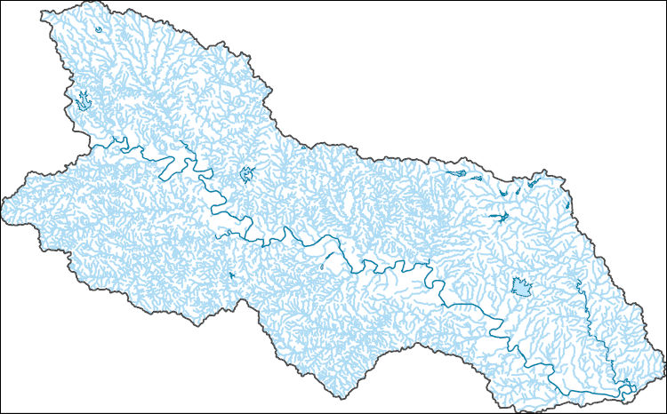
The National Hydrography Dataset (NHD) is a feature-based database that interconnects and uniquely identifies the stream segments or reaches that make up the nation's surface water drainage system. NHD data was originally developed at 1:100,000-scale and exists at that scale for the whole country. This high-resolution NHD, generally developed at 1:24,000/1:12,000 scale, adds detail to the original 1:100,000-scale NHD. (Data for Alaska, Puerto Rico and the Virgin Islands was developed at high-resolution, not 1:100,000 scale.) Local resolution NHD is being developed where partners and data exist. The NHD contains reach codes for networked features, flow direction, names, and centerline representations for areal water...
The National Hydrography Dataset (NHD) is a feature-based database that interconnects and uniquely identifies the stream segments or reaches that make up the nation's surface water drainage system. NHD data was originally developed at 1:100,000-scale and exists at that scale for the whole country. This high-resolution NHD, generally developed at 1:24,000/1:12,000 scale, adds detail to the original 1:100,000-scale NHD. (Data for Alaska, Puerto Rico and the Virgin Islands was developed at high-resolution, not 1:100,000 scale.) Local resolution NHD is being developed where partners and data exist. The NHD contains reach codes for networked features, flow direction, names, and centerline representations for areal water...
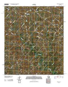
Layered GeoPDF 7.5 Minute Quadrangle Map. Layers of geospatial data include orthoimagery, roads, grids, geographic names, elevation contours, hydrography, and other selected map features.
ADMMR map collection: Goetz Claims; 1 in. to 400 feet; 24 x 18 in.
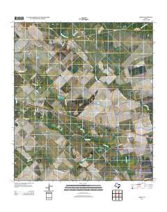
USGS Historical Quadrangle in GeoPDF.
Core Research Center, cutting HH01881, from well operated by PIONEER NATURAL RESOURCESRaw Properties from download, web scrape, MapServer, and Macrostrat API{"Lib Num": "HH01881", "API Num": "4201334323", "Operator": "PIONEER NATURAL RESOURCES", "Well Name": "EDMUND TOM 02 01 PILOT", "Field": "EAGLEVILLE", "State": "TX", "County": "ATASCOSA", "Thin Sec": "F", "Analysis": "F", "Latitude": "28.72015", "Longitude": "-98.2812", "coordinates_geohash": "9v457s3g4018", "Source": "PROVIDED BY DONOR", "Min": "900", "Max": "10690", "Security Flag": "NO SPECIAL RESTRICTIONS", "crc_collection_name": "cutting", "sb_parent_id": "4f4e49d8e4b07f02db5df2d2", "intervals": [{"Formation": "NAVARRO", "Age": "CRETACEOUS", "Min Depth":...
Core Research Center, cutting HH01883, from well operated by PIONEER NATURAL RESOURCESRaw Properties from download, web scrape, MapServer, and Macrostrat API{"Lib Num": "HH01883", "API Num": "4201334322", "Operator": "PIONEER NATURAL RESOURCES", "Well Name": "EDMUND TOM 01 01 P/H", "Field": "EAGLEVILLE", "State": "TX", "County": "ATASCOSA", "Thin Sec": "F", "Analysis": "F", "Latitude": "28.696978", "Longitude": "-98.295219", "coordinates_geohash": "9v4570ps52km", "Source": "PROVIDED BY DONOR", "Min": "10000", "Max": "15620", "Security Flag": "NO SPECIAL RESTRICTIONS", "crc_collection_name": "cutting", "sb_parent_id": "4f4e49d8e4b07f02db5df2d2", "intervals": [{"Formation": "GEORGETOWN", "Age": "CRETACEOUS", "Min...
Core Research Center, cutting HH01913, from well operated by PIONEER NATURAL RESOURCESRaw Properties from download, web scrape, MapServer, and Macrostrat API{"Lib Num": "HH01913", "API Num": "4229735039", "Operator": "PIONEER NATURAL RESOURCES", "Well Name": "H HARLAN BETHUNE 01 02H", "Field": "EAGLEVILLE", "State": "TX", "County": "LIVE OAK", "Thin Sec": "F", "Analysis": "F", "Latitude": "28.59905", "Longitude": "-98.26693", "coordinates_geohash": "9v44eyk1w964", "Source": "PROVIDED BY DONOR", "Min": "2732", "Max": "16670", "Security Flag": "NO SPECIAL RESTRICTIONS", "crc_collection_name": "cutting", "sb_parent_id": "4f4e49d8e4b07f02db5df2d2", "intervals": [{"Formation": "EAGLE FORD", "Age": "CRETACEOUS", "Min...

The National Hydrography Dataset (NHD) is a feature-based database that interconnects and uniquely identifies the stream segments or reaches that make up the nation's surface water drainage system. NHD data was originally developed at 1:100,000-scale and exists at that scale for the whole country. This high-resolution NHD, generally developed at 1:24,000/1:12,000 scale, adds detail to the original 1:100,000-scale NHD. (Data for Alaska, Puerto Rico and the Virgin Islands was developed at high-resolution, not 1:100,000 scale.) Local resolution NHD is being developed where partners and data exist. The NHD contains reach codes for networked features, flow direction, names, and centerline representations for areal water...
Layered GeoPDF 7.5 Minute Quadrangle Map. Layers of geospatial data include orthoimagery, roads, grids, geographic names, elevation contours, hydrography, and other selected map features.
Layered GeoPDF 7.5 Minute Quadrangle Map. Layers of geospatial data include orthoimagery, roads, grids, geographic names, elevation contours, hydrography, and other selected map features.
Layered GeoPDF 7.5 Minute Quadrangle Map. Layers of geospatial data include orthoimagery, roads, grids, geographic names, elevation contours, hydrography, and other selected map features.
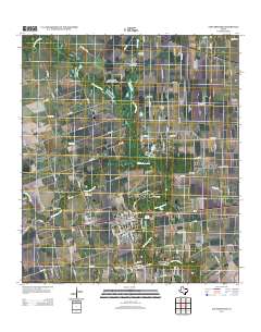
Layered GeoPDF 7.5 Minute Quadrangle Map. Layers of geospatial data include orthoimagery, roads, grids, geographic names, elevation contours, hydrography, and other selected map features.
|

|
