Filters: Tags: BOONVILLE (X)
35 results (51ms)|
Filters
Date Range
Contacts (Less)
Tag Types Tag Schemes
|

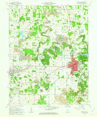
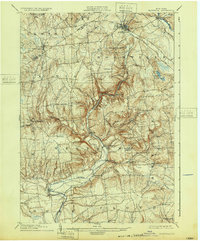
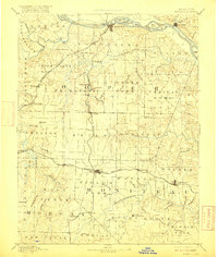
USGS Historical Quadrangle in GeoPDF.

USGS Historical Quadrangle in GeoPDF.
USGS Historical Quadrangle in GeoPDF.
USGS Historical Quadrangle in GeoPDF.
USGS Historical Quadrangle in GeoPDF.
These data are high-resolution bathymetry (riverbed elevation) and depth-averaged velocities in ASCII format, generated from hydrographic and velocimetric surveys near highway bridge structures over the Missouri River between Kansas City and St. Louis, Missouri, for dates ranging from 2010 to 2017. Hydrographic data were collected using a high-resolution multibeam echosounder mapping system (MBMS), which consists of a multibeam echosounder (MBES) and an inertial navigation system (INS) mounted on a marine survey vessel. Data were collected as the vessel traversed the river along planned survey lines distributed throughout the reach. Data collection software integrated and stored the depth data from the MBES and...
Data represent a comparison of herding techniques commonly used by natural resource agencies and the public to increase removal or harvest of invasive carp (i.e., Silver Carp) from U.S. waterways. Sites on lower Perche Creek, Columbia, MO (2018 August 9th to 2018 October 26th) were contained using block nets and treated with one of five herding techniques: (1) method commonly used by commercial fishers in the U.S. (“commercial technique”), (2) pulsed-DC electrofishing (“electric technique”), (3) broadband sound administered with underwater speakers (“sound technique”), (4) both sound and electric in combination (“combination technique”), and (5) solely the boat with no added stimulus (“control”). Sites were administered...
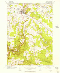
USGS Historical Quadrangle in GeoPDF.
These data are high-resolution bathymetry (riverbed elevation) and depth-averaged velocities in comma-delimited table format, generated from hydrographic and velocimetric surveys near highway bridge structures over the Missouri River between Kansas City and St. Louis, Missouri, May 19–26, 2021. Hydrographic data were collected using a high-resolution multibeam echosounder mapping system (MBMS), which consists of a multibeam echosounder (MBES) and an inertial navigation system (INS) mounted on a marine survey vessel. Data were collected as the vessel traversed the river along planned survey lines distributed throughout the reach. Data collection software integrated and stored the depth data from the MBES and the...
USGS Historical Quadrangle in GeoPDF.
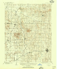
USGS Historical Quadrangle in GeoPDF.
USGS Historical Quadrangle in GeoPDF.
USGS Historical Quadrangle in GeoPDF.
USGS Historical Quadrangle in GeoPDF.
These data are high-resolution bathymetry (riverbed elevation) and depth-averaged velocities in ASCII format, generated from hydrographic and velocimetric surveys of the Missouri River near Structure A4574 on Missouri State Highway 5 at Boonville, Missouri, in 2011, 2013, and 2017. Hydrographic data were collected using a high-resolution multibeam echosounder mapping system (MBMS), which consists of a multibeam echosounder (MBES) and an inertial navigation system (INS) mounted on a marine survey vessel. Data were collected as the vessel traversed the river along planned survey lines distributed throughout the reach. Data collection software integrated and stored the depth data from the MBES and the horizontal and...
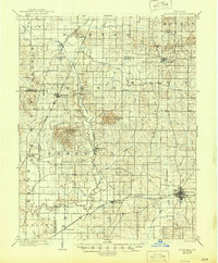
USGS Historical Quadrangle in GeoPDF.

USGS Historical Quadrangle in GeoPDF.
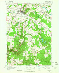
USGS Historical Quadrangle in GeoPDF.

USGS Historical Quadrangle in GeoPDF.

USGS Historical Quadrangle in GeoPDF.
|

|
