Filters: Tags: BROWN MOUNTAIN (X)
8 results (77ms)|
Filters
Date Range
Extensions Types Contacts
Categories Tag Types Tag Schemes |
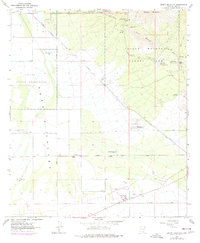
USGS Historical Quadrangle in GeoPDF.
In 1968, the Missouri Geological Survey (MGS) established the Operation Basement program to address three objectives: a) to obtain drill hole and underground mining data relative to the structure and composition of the buried Precambrian basement; b) to expand mapping in the Precambrian outcrop area and conduct research related to Precambrian geology and mineral resources; and c) to publish the results of the first two objectives in the Contribution to Precambrian Geology series (Kisvarsanyi, 1976). The database presented here represents the first of those objectives. It was originally compiled in close cooperation with exploration and mining companies operating in Missouri, who provided drillhole data, core and...
Categories: Data;
Types: Downloadable,
Map Service,
OGC WFS Layer,
OGC WMS Layer,
Shapefile;
Tags: Adair County,
Andrew County,
Atchison County,
Audrain County,
Barry County,
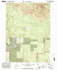
USGS Historical Quadrangle in GeoPDF.
USGS Historical Quadrangle in GeoPDF.
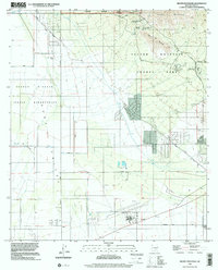
USGS Historical Quadrangle in GeoPDF.
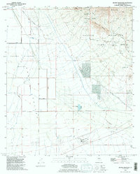
USGS Historical Quadrangle in GeoPDF.
USGS Historical Quadrangle in GeoPDF.
USGS Historical Quadrangle in GeoPDF.
|

|
