Filters: Tags: Bald Mountain (X)
28 results (39ms)|
Filters
Date Range
Extensions (Less) Types (Less)
Contacts (Less)
Categories (Less) Tag Types
|

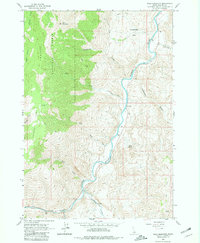
USGS Historical Quadrangle in GeoPDF.
USGS Historical Quadrangle in GeoPDF.
USGS Historical Quadrangle in GeoPDF.

USGS Historical Quadrangle in GeoPDF.

USGS Historical Quadrangle in GeoPDF.
A mineral resource assessment was performed by the U.S. Geological Survey (USGS) to assess the potential of undiscovered skarn-hosted tungsten resources in the Northern Rocky Mountain region of eastern Idaho and western Montana. This region has seen moderate tungsten trioxide (WO3) production in the past from a variety of mineralization styles including skarn, vein and replacement, and wolframite-quartz veins. The geology of the area is dominated by large plutons of Cretaceous to Tertiary age, emplaced into a belt of sedimentary rock ranging from Mesoproterozoic to Permian age, and affected by tectonism related to the Sevier and later Laramide orogenies. Known tungsten (W) skarn mineral sites are associated with...
Categories: Data;
Types: ArcGIS REST Map Service,
ArcGIS Service Definition,
Downloadable,
Map Service;
Tags: Ashton,
Bald Mountain,
Beaverhead County,
Bitterroot Range,
Boise County,
The US Geological Survey, in cooperation with the National Park Service, mapped 35 7.5-minute quadrangles, within a 2-mile-wide+ corridor centered on the Parkway, from BLRI (Blue Ridge Parkway) Mile Post (MP) 0 near Afton, Virginia southward to MP 218 at Cumberland Knob, approximately 1.3 km south of the Virginia – North Carolina State Line. Detailed bedrock geologic mapping for this project was conducted at 1:24,000-scale by systematically traversing roads, trails, creeks, and ridges within and adjacent to the 2-mile-wide+ corridor along the 216.9-mile length of the BLRI in Virginia. Geologic data at more than 23,000 station points were collected during this project (September 2009 – February 2014), with approximately...
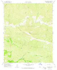
USGS Historical Quadrangle in GeoPDF.
USGS Historical Quadrangle in GeoPDF.

USGS Historical Quadrangle in GeoPDF.
The US Geological Survey, in cooperation with the National Park Service, mapped 35 7.5-minute quadrangles, within a 2-mile-wide+ corridor centered on the Parkway, from BLRI (Blue Ridge Parkway) Mile Post (MP) 0 near Afton, Virginia southward to MP 218 at Cumberland Knob, approximately 1.3 km south of the Virginia – North Carolina State Line. Detailed bedrock geologic mapping for this project was conducted at 1:24,000-scale by systematically traversing roads, trails, creeks, and ridges within and adjacent to the 2-mile-wide+ corridor along the 216.9-mile length of the BLRI in Virginia. Geologic data at more than 23,000 station points were collected during this project (September 2009 – February 2014), with approximately...
Types: Citation;
Tags: Adney Gap,
Air Bellows Gap,
Alligator Back Formation,
Antietam Formation,
Ashe Formation,
USGS Historical Quadrangle in GeoPDF.
USGS Historical Quadrangle in GeoPDF.
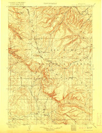
USGS Historical Quadrangle in GeoPDF.

USGS Historical Quadrangle in GeoPDF.
USGS Historical Quadrangle in GeoPDF.
USGS Historical Quadrangle in GeoPDF.
USGS Historical Quadrangle in GeoPDF.
Flows of Pleistocene basalt capping Miocene andesitic breccia on Bald Mountain. Part of the town of Forest, California in the foreground. Sierra County, California. 1924. Plate 5-D, U.S.Geological Survey Professional paper 172. 1932.
Categories: Image;
Tags: Bald Mountain,
Ferguson, H.G. Collection,
Miocene andesitic breccia,
Photographers,
Pleistocene basalt,
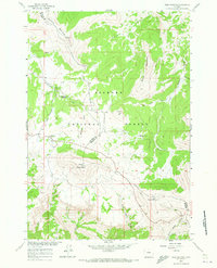
USGS Historical Quadrangle in GeoPDF.
|

|
