Filters: Tags: Beatty (X)
10 results (26ms)|
Filters
Date Range
Contacts
Tag Types Tag Schemes |
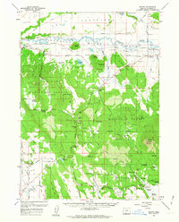
USGS Historical Quadrangle in GeoPDF.
USGS Historical Quadrangle in GeoPDF.
USGS Historical Quadrangle in GeoPDF.
USGS Historical Quadrangle in GeoPDF.
USGS Historical Quadrangle in GeoPDF.
USGS Historical Quadrangle in GeoPDF.
USGS Historical Quadrangle in GeoPDF.
This data release consists of four directories: GroundwaterWithdrawals, Precipitation, WaterLevelDatabase, and WLMs. The GroundwaterWithdrawals directory contains a Microsoft Excel workbook with groundwater withdrawal data from 1996-2015 for water-supply wells in Beatty and Bullfrog Hills, Nye County, Nevada. The Precipitation directory contains four Microsoft Excel workbooks with data from precipitation stations and analyses used to construct long-term precipitation index records. The WaterLevelDatabase directory contains a Microsoft Excel workbook with hydrographs and well information for the 79 wells analyzed in the larger work. The WLMs directory contains 11 water-level models that were used to determine hydrologic...
USGS Historical Quadrangle in GeoPDF.
USGS Historical Quadrangle in GeoPDF.
|

|
