Filters: Tags: Beaver (X) > Types: Citation (X)
167 results (40ms)|
Filters
Date Range
Extensions Types
Contacts
Categories Tag Types
|

Geospatial data is comprised of government boundaries.
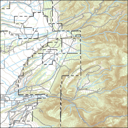
Layers of geospatial data include contours, boundaries, land cover, hydrography, roads, transportation, geographic names, structures, and other selected map features.
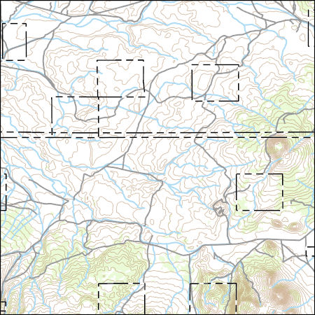
Layers of geospatial data include contours, boundaries, land cover, hydrography, roads, transportation, geographic names, structures, and other selected map features.
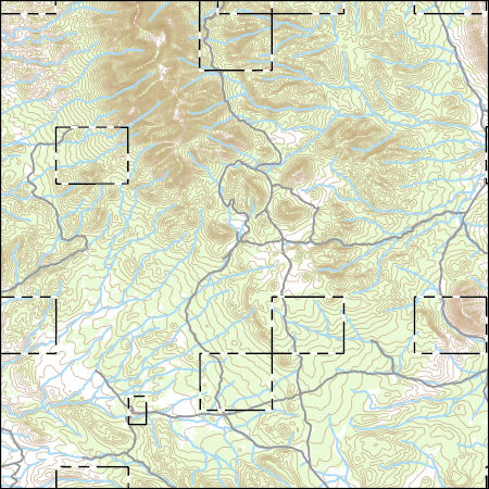
Layers of geospatial data include contours, boundaries, land cover, hydrography, roads, transportation, geographic names, structures, and other selected map features.
Layers of geospatial data include contours, boundaries, land cover, hydrography, roads, transportation, geographic names, structures, and other selected map features.
Layers of geospatial data include contours, boundaries, land cover, hydrography, roads, transportation, geographic names, structures, and other selected map features.

Layers of geospatial data include contours, boundaries, land cover, hydrography, roads, transportation, geographic names, structures, and other selected map features.
Layers of geospatial data include contours, boundaries, land cover, hydrography, roads, transportation, geographic names, structures, and other selected map features.
Layers of geospatial data include contours, boundaries, land cover, hydrography, roads, transportation, geographic names, structures, and other selected map features.
Layers of geospatial data include contours, boundaries, land cover, hydrography, roads, transportation, geographic names, structures, and other selected map features.

Layers of geospatial data include contours, boundaries, land cover, hydrography, roads, transportation, geographic names, structures, and other selected map features.
Layers of geospatial data include contours, boundaries, land cover, hydrography, roads, transportation, geographic names, structures, and other selected map features.

Layers of geospatial data include contours, boundaries, land cover, hydrography, roads, transportation, geographic names, structures, and other selected map features.
Layers of geospatial data include contours, boundaries, land cover, hydrography, roads, transportation, geographic names, structures, and other selected map features.
Layers of geospatial data include contours, boundaries, land cover, hydrography, roads, transportation, geographic names, structures, and other selected map features.
Categories: Data,
Publication;
Types: Citation,
Downloadable,
Map Service,
OGC WFS Layer,
OGC WMS Layer,
Shapefile;
Tags: Adaptation Planning 1-Best Management Practices,
Baseline 5-Data,
Beaver,
Fish,
Landscape Scale Conservation: Fisheries,
Kanuti National Wildlife Refuge was established to conserve white-fronted geese, other waterfowl and migratory birds, moose, caribou, and furbearers; to fulfill treaty obligations; to provide for continued subsistence uses; and to ensure necessary water quality and quantity. Because the refuge is seldom visited by anyone other than subsistence users from the immediate area, those who do venture into Kanuti's backcountry will find unspoiled and virtually unused wildlands to rival those anywhere else in the world. These lands support a wide variety of wildlife. In addition to the large mammals mentioned above, wolverine, fox, porcupine, lynx, beavers, muskrats, marten and mink can be seen, as well as nearly 130 species...
Categories: Publication;
Types: Citation;
Tags: Baseline 1-High Resolution Landcover Imaging,
Baseline 5-Data,
Beaver,
Species of Concern: Mammals
Late Pleistocene - early Holocene plant macrofossils and pollen from the Yukon Flats, central Alaska
Dramatic climate changes and expansion of new biomes characterize the late Pleistocene - early Holocene of eastern Beringia. Analysis of plant macrofossils and pollen from three different sites in the Yukon Flats, central Alaska, record the past vegetation during the late Pleistocene - early Holocene (ca. 11,500-6,900 14 C yrs BP) transition. The first paper deals with plant macrofossils associated with one of the earliest post glacial beaver dams (ca. 9,300 14 C yrs BP) found in central Alaska. Vegetation reconstruction suggests a warmer than modern climate during the early Holocene. The second paper examines eight paleosols and their associated plant macrofossils and pollen within eolian deposits at two sites...
Categories: Publication;
Types: Citation;
Tags: Baseline 5-Data,
Beaver,
Paleo and Holocene,
Species of Concern: Mammals
T
|

|
