Filters: Tags: Bent County (X) > Types: Citation (X)
100 results (34ms)|
Filters
Date Range
Extensions Types
Contacts
Categories Tag Types Tag Schemes |

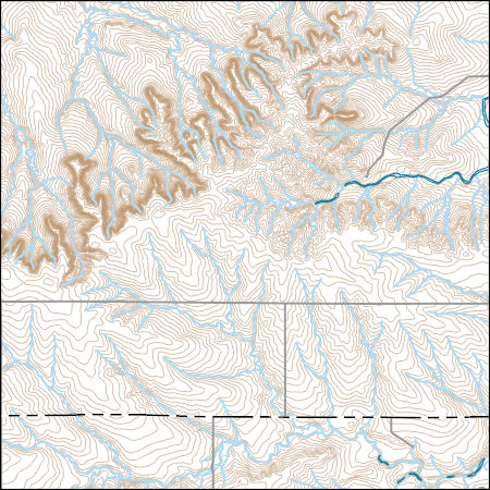
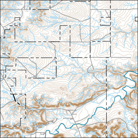
Layers of geospatial data include contours, boundaries, land cover, hydrography, roads, transportation, geographic names, structures, and other selected map features.
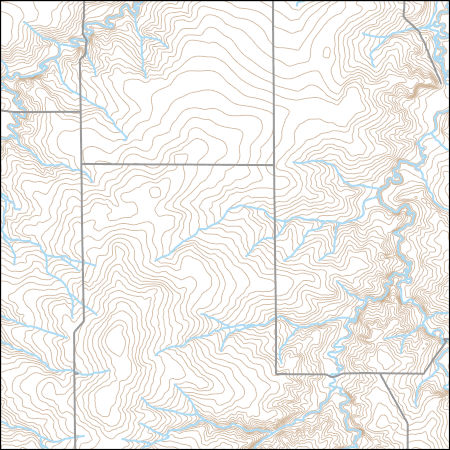
Layers of geospatial data include contours, boundaries, land cover, hydrography, roads, transportation, geographic names, structures, and other selected map features.
USGS Topo Map Vector Data (Vector) 20377 High Rock, Colorado 20220511 for 7.5 x 7.5 minute Shapefile
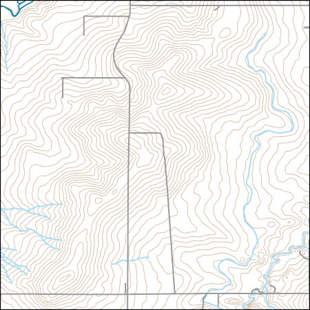
Layers of geospatial data include contours, boundaries, land cover, hydrography, roads, transportation, geographic names, structures, and other selected map features.
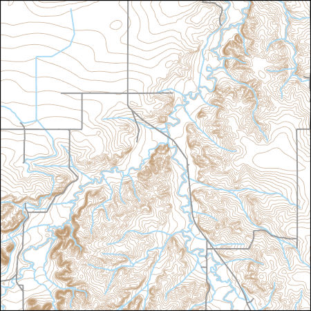
Layers of geospatial data include contours, boundaries, land cover, hydrography, roads, transportation, geographic names, structures, and other selected map features.

Layers of geospatial data include contours, boundaries, land cover, hydrography, roads, transportation, geographic names, structures, and other selected map features.
Layers of geospatial data include contours, boundaries, land cover, hydrography, roads, transportation, geographic names, structures, and other selected map features.
Layers of geospatial data include contours, boundaries, land cover, hydrography, roads, transportation, geographic names, structures, and other selected map features.
Layers of geospatial data include contours, boundaries, land cover, hydrography, roads, transportation, geographic names, structures, and other selected map features.
Layers of geospatial data include contours, boundaries, land cover, hydrography, roads, transportation, geographic names, structures, and other selected map features.
Layers of geospatial data include contours, boundaries, land cover, hydrography, roads, transportation, geographic names, structures, and other selected map features.
Layers of geospatial data include contours, boundaries, land cover, hydrography, roads, transportation, geographic names, structures, and other selected map features.
Layers of geospatial data include contours, boundaries, land cover, hydrography, roads, transportation, geographic names, structures, and other selected map features.
Layers of geospatial data include contours, boundaries, land cover, hydrography, roads, transportation, geographic names, structures, and other selected map features.

Layers of geospatial data include contours, boundaries, land cover, hydrography, roads, transportation, geographic names, structures, and other selected map features.
Layers of geospatial data include contours, boundaries, land cover, hydrography, roads, transportation, geographic names, structures, and other selected map features.

Layers of geospatial data include contours, boundaries, land cover, hydrography, roads, transportation, geographic names, structures, and other selected map features.
USGS Topo Map Vector Data (Vector) 20339 Higbee, Colorado 20220512 for 7.5 x 7.5 minute FileGDB 10.1
Layers of geospatial data include contours, boundaries, land cover, hydrography, roads, transportation, geographic names, structures, and other selected map features.
Raster dataset showing saturated thickness (in feet) of the alluvium in the Lower Arkansas River Valley, Southeast Colorado, January 1 - May 31, 2002 and December 1 - 31, 2002 (hereafter defined as "spring"). Saturated thickness values based on water levels measured in the study area and median lake level at John Martin Reservoir during this time period. Surface interpolations for water-table altitude were done using Inverse Distance Weighting using coordinate and altitude data from "Wells and water-level altitude in the alluvium in the Lower Arkansas River Valley, Southeast Colorado, Spring and Fall 2002, 2008, and 2015" (see cross reference section in metadata), and surface interpolation of bedrock was done using...
Categories: Data;
Types: Citation,
Downloadable,
GeoTIFF,
Map Service,
Raster;
Tags: Arkansas River,
Bent County,
Crowley County,
Groundwater Level,
Hydrogeology,
Raster showing change in water-table altitude between Spring of 2002 and Spring of 2015 in the alluvium in the Lower Arkansas River Valley, Southeast Colorado. Hereafter "spring" is defined as the periods of January 1 to May 31, and December 1 to December 31. All interpolation and geoprocessing was done using ArcGIS Desktop v10 (Environmental Systems Research Institute, 2011).
Categories: Data;
Types: Citation,
Downloadable,
GeoTIFF,
Map Service,
Raster;
Tags: Arkansas River,
Bent County,
Crowley County,
Otero County,
Prowers County,
Points representing locations of wells in which water levels were measured, and values of water-level altitudes above the National Geodetic Vertical Datum of 1929 for June 1 to November 30 (hereafter defined as "fall") and December 1 to May 31 (hereafter defined as "spring"), 2002, 2008, and 2015 in the Lower Arkansas River Valley, Southeastern Colorado. Water-level values, John Martin Reservoir lake levels, and land surface altitudes at monitoring wells were gathered from the U.S. Geological Survey National Water Information System (NWIS) and the U.S. Army Corps of Engineers. All geoprocessing was done using ArcGIS Desktop v10 (Environmental Systems Research Institute, 2011).
Categories: Data;
Types: Citation,
Downloadable,
Map Service,
OGC WFS Layer,
OGC WMS Layer,
Shapefile;
Tags: Arkansas River,
Bent County,
Crowley County,
Groundwater Level,
Hydrogeology,
|

|
