Filters: Tags: Blakely (X)
2 results (33ms)|
Filters
Date Range
Contacts
Categories Tag Types Tag Schemes |
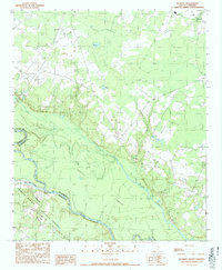
USGS Historical Quadrangle in GeoPDF.
This digital geospatial compilation gathered paleoflow indicators from current-formed sedimentary structures throughout the Paleozoic Ozark uplift, Arkoma foreland basin, and Ouachita fold-thrust-belt of eastern Oklahoma and western Arkansas from existing publications. This dataset consists of unidirectional and bidirectional paleocurrents observed from a variety of bedform types represented by approximately 9,958 individual measurements and 665 calculated means (one .csv file) plotted as points (one .shp file) with subordinate Ordovician-Silurian and primarily Mississippian-Pennsylvanian ages.
|

|
