Filters: Tags: Bluff (X)
16 results (145ms)|
Filters
Date Range
Extensions Types Contacts
Categories Tag Types Tag Schemes |
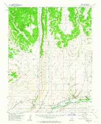
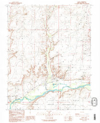
USGS Historical Quadrangle in GeoPDF.
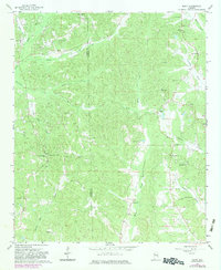
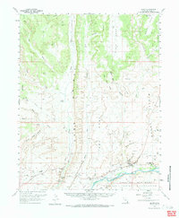
USGS Historical Quadrangle in GeoPDF.
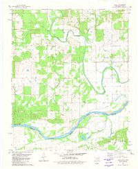
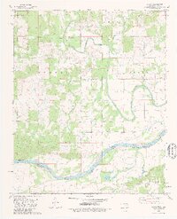
USGS Historical Quadrangle in GeoPDF.
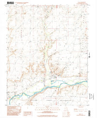
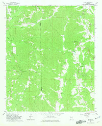
USGS Historical Quadrangle in GeoPDF.
USGS Historical Quadrangle in GeoPDF.
USGS Historical Quadrangle in GeoPDF.
USGS Historical Quadrangle in GeoPDF.
The outcrop structural data in this publication were collected in 2006 during geologic field mapping within the Council airborne geophysical survey tract. The data were acquired to produce a geologic map, to determine the area's structural history, and to evaluate its' mineral potential with respect to these structures.
USGS Historical Quadrangle in GeoPDF.
USGS Historical Quadrangle in GeoPDF.
USGS Historical Quadrangle in GeoPDF.
This data release is part of a study designed to test geochemical methods that best delineate known mineral deposits in the northeast part of the Tanacross 1° x 3° quadrangle, within the Yukon-Tanana Upland region, Alaska. The total area sampled is about 3,200 km2. Extensive tundra cover and patchy spruce/alder vegetation and very limited outcrop exposure characterize the area. Soils and stream sediments contain mixtures of weathered bedrock, sand derived from dunes developed during the Pleistocene, and volcanic ash deposits from the 1.2 Ky eruption of the nearby Mount Churchill volcano. Several mineral deposits are known in the area, including the Late Cretaceous to earliest Tertiary porphyry Cu (+/-Mo-Au) deposits...
Categories: Data;
Types: Downloadable,
Map Service,
OGC WFS Layer,
OGC WMS Layer,
Shapefile;
Tags: Alaska,
Bluff,
Economic Geology,
Economic geology,
Fishhook,
The rock samples in this publication were collected in 2006 during geologic field mapping within the Council airborne geophysical survey tract. The analyses were acquired to aid interpretation and development of the geologic map and evaluation of the area's mineral potential. To further geologic understanding of the area, igneous and metamorphic rock samples were selected for whole-rock geochemical analysis. Unweathered or minimally weathered rock samples were preferentially selected for analysis. Non-carbonate carbon analyses were obtained to determine the percentage of graphite in metasedimentary rocks. To help evaluate the area's mineral resource potential, rock samples were selected for geochemical analysis;...
USGS Historical Quadrangle in GeoPDF.
USGS Historical Quadrangle in GeoPDF.
USGS Historical Quadrangle in GeoPDF.
|

|
