Filters: Tags: Buffalo Gap (X)
8 results (12ms)|
Filters
Date Range
Types Contacts Categories Tag Types Tag Schemes |

Rocky Mountain Region GIS Data Library Our geographic area of responsibility covers Colorado, Kansas, Nebraska, South Dakota, and Wyoming.
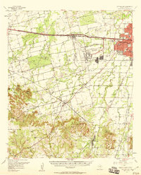
USGS Historical Quadrangle in GeoPDF.
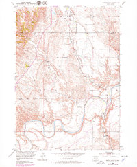
USGS Historical Quadrangle in GeoPDF.
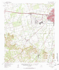
USGS Historical Quadrangle in GeoPDF.
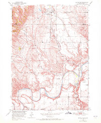
USGS Historical Quadrangle in GeoPDF.
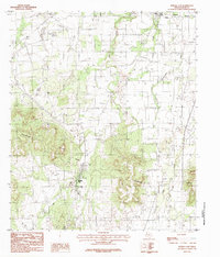
USGS Historical Quadrangle in GeoPDF.
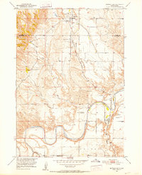
USGS Historical Quadrangle in GeoPDF.
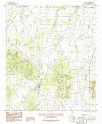
USGS Historical Quadrangle in GeoPDF.
|

|
