Filters: Tags: Calistoga (X)
18 results (119ms)|
Filters
Date Range
Types Contacts
Tag Types Tag Schemes |
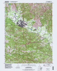
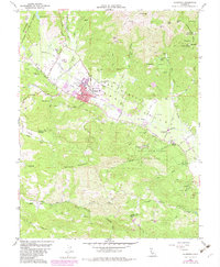
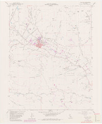
USGS Historical Quadrangle in GeoPDF.

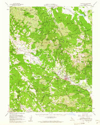
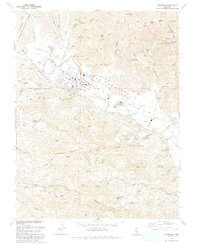
USGS Historical Quadrangle in GeoPDF.
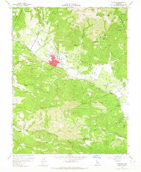
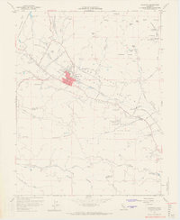
USGS Historical Quadrangle in GeoPDF.
This child item contains Uncrewed Aircraft System (UAS) imagery from three data collection campaigns (flights) over the Pepperwood Preserve in Sonoma County, California. Each child item contains: 1) Orthophoto, 2) Thermal, 3) Normalized Difference Vegetation Index (NDVI), 4) L-band microwave brightness temperature (Tb), 5) Estimated soil moisture, and 6) Digital elevation model from orthoimagery. The overall footprint varies depending on the type of sensor. This flight was performed using a fixed-wing electric UAS with a 3-meter wingspan called the S2. All files are zipped raster (*.tif) files that can be visualized and edited by geospatial software including ArcGIS, QGIS, Python, and R. The spatial resolution of...
Types: Map Service,
OGC WFS Layer,
OGC WMS Layer,
OGC WMS Service;
Tags: California,
Calistoga,
Pepperwood Preserve,
Sonoma,
aerial photography,
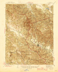
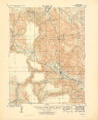
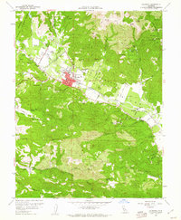
USGS Historical Quadrangle in GeoPDF.

USGS Historical Quadrangle in GeoPDF.
USGS Historical Quadrangle in GeoPDF.

USGS Historical Quadrangle in GeoPDF.
USGS Historical Quadrangle in GeoPDF.
This child item contains Uncrewed Aircraft System (UAS) imagery from three data collection campaigns (flights) over the Pepperwood Preserve in Sonoma County, California. Each child item contains: 1) Orthophoto, 2) Thermal, 3) Normalized Difference Vegetation Index (NDVI), 4) L-band microwave brightness temperature (Tb), 5) Estimated soil moisture, and 6) Digital elevation model from orthoimagery. The overall footprint varies depending on the type of sensor. This flight was done using a multirotor electric UAS called the E2. This flight contains an additional higher resolution L-band microwave brightness temperature and soil moisture map that covers a smaller footprint. All files are zipped raster (*.tif) files that...
Types: Map Service,
OGC WFS Layer,
OGC WMS Layer,
OGC WMS Service;
Tags: California,
Calistoga,
Pepperwood Preserve,
Sonoma,
aerial photography,
This data release contains Uncrewed Aircraft System (UAS) imagery from three data collection campaigns (flights) over the Pepperwood Preserve in Sonoma County, California. Each child item contains: 1) Orthophoto, 2) Thermal, 3) Normalized Difference Vegetation Index (NDVI), 4) L-band microwave brightness temperature (Tb), 5) Estimated soil moisture, and 6) Digital elevation model from orthoimagery. The overall footprint varies depending on the flight, and the third flight in May 2023 contains an additional set of high-resolution Tb and calculated soil moisture maps for a smaller footprint. The first two flights were performed using a BlackSwift S2, which is a fixed-wing UAS with a 3-meter wingspan, and the third...
Types: Map Service,
OGC WFS Layer,
OGC WMS Layer,
OGC WMS Service;
Tags: California,
Calistoga,
Geography,
Hydrology,
Pepperwood Preserve,
USGS Historical Quadrangle in GeoPDF.
USGS Historical Quadrangle in GeoPDF.
USGS Historical Quadrangle in GeoPDF.
USGS Historical Quadrangle in GeoPDF.
USGS Historical Quadrangle in GeoPDF.
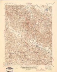
USGS Historical Quadrangle in GeoPDF.
This child item contains Uncrewed Aircraft System (UAS) imagery from three data collection campaigns (flights) over the Pepperwood Preserve in Sonoma County, California. Each child item contains: 1) Orthophoto, 2) Thermal, 3) Normalized Difference Vegetation Index (NDVI), 4) L-band microwave brightness temperature (Tb), 5) Estimated soil moisture, and 6) Digital elevation model from orthoimagery. The overall footprint varies depending on the type of sensor. This flight was performed using a fixed-wing electric UAS with a 3-meter wingspan called the S2. All files are zipped raster (*.tif) files that can be visualized and edited by geospatial software including ArcGIS, QGIS, Python, and R. The spatial resolution of...
Types: Map Service,
OGC WFS Layer,
OGC WMS Layer,
OGC WMS Service;
Tags: California,
Calistoga,
Pepperwood Preserve,
Sonoma,
aerial photography,
|

|
