Filters: Tags: Card Sound (X)
10 results (114ms)|
Filters
Date Range
Types Contacts
Tag Types Tag Schemes |

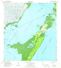
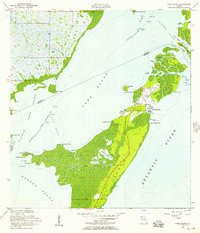
USGS Historical Quadrangle in GeoPDF.
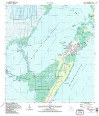
USGS Historical Quadrangle in GeoPDF.
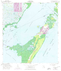
USGS Historical Quadrangle in GeoPDF.
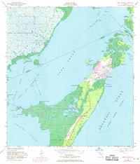
USGS Historical Quadrangle in GeoPDF.

USGS Historical Quadrangle in GeoPDF.

USGS Historical Quadrangle in GeoPDF.
USGS Historical Quadrangle in GeoPDF.

The South Florida Fish and Invertebrate Assessment Network (FIAN) is a monitoring project within the Comprehensive Everglades Restoration Plan (CERP). It is an element of the Southern Estuaries module of the Monitoring and Assessment Plan (MAP).The FIAN is designed to support the four broad objectives of MAP: (1) to establish a pre-CERP reference state, including variability, for each of the performance measures; (2) to determine the status and trends in the performance measures; (3) to detect unexpected responses of the ecosystem to changes in stressors resulting from CERP activities; and (4) to support scientific investigations designed to increase ecosystem understanding, cause-and-effect, and interpretation...
Types: Map Service,
OGC WFS Layer,
OGC WMS Layer,
OGC WMS Service;
Tags: 002,
007,
014,
Barnes Sound,
Biscayne Bay,
USGS Historical Quadrangle in GeoPDF.

USGS Historical Quadrangle in GeoPDF.
|

|
