Filters: Tags: Council Grove (X)
22 results (50ms)|
Filters
Date Range
Contacts
Categories Tag Types Tag Schemes |
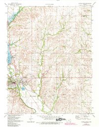
USGS Historical Quadrangle in GeoPDF.
Core Research Center, core E058, from well operated by TRUE OILRaw Properties from download, web scrape, MapServer, and Macrostrat API{"Lib Num": "E058", "API Num": "2616521162", "Operator": "TRUE OIL", "Well Name": "42-14 ELLIOTT", "Field": "DEVELOPMENT WELL", "State": "NE", "County": "SIOUX", "Type": "SLABBED", "Photos": "T", "Thin Sec": "F", "Analysis": "F", "Latitude": "42.144357", "Longitude": "-103.582503", "coordinates_geohash": "9xqrfbjs8tx9", "Source": "FROM STATE RECORDS", "Security Flag": "NO SPECIAL RESTRICTIONS", "crc_collection_name": "core", "sb_parent_id": "4f4e49dae4b07f02db5e0486", "intervals": [{"Formation": "COUNCIL GROVE", "Age": "PERM", "Min Depth": "6552", "Max Depth": "6588"}], "crcwc_url":...
Categories: Physical Item;
Tags: Arikaree Group,
Arikaree Group,
COUNCIL GROVE,
Chattian - Miocene,
PERM,
|

|
