Filters: Tags: DAYLIGHT (X)
10 results (64ms)|
Filters
Date Range
Extensions Types Contacts Categories Tag Types Tag Schemes |
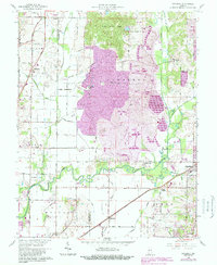
USGS Historical Quadrangle in GeoPDF.
ADMMR map collection: Mineral Survey Plat No. 3954, Sheet 1; 1 in. to 1000 feet; 18 x 13 in.
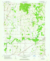
USGS Historical Quadrangle in GeoPDF.
ADMMR map collection: Assay Plan of Narragansett Mine; 1 in. to 40 feet; 40 x 24 in.
This location is part of the Arizona Mineral Industry Location System (AzMILS), an inventory of mineral occurences, prospects and mine locations in Arizona. Pima165 is located in T18S R15E Sec 25 NE in the Sahuarita - 15 Min quad. This collection consists of various reports, maps, records and related materials acquired by the Arizona Department of Mines and Mineral Resources regarding mining properties in Arizona. Information was obtained by various means, including the property owners, exploration companies, consultants, verbal interviews, field visits, newspapers and publications. Some sections may be redacted for copyright. Please see the access statement.
ADMMR map collection: Narragansett and Back Bone Claims Map; 1 in. to 100 feet; 29 x 25 in.
ADMMR map collection: Narragansett Mine, USGS Generalized Geologic and Topographic Map; 1 in. to 200 feet; 24 x 18 in.
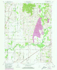
USGS Historical Quadrangle in GeoPDF.
This map service includes data on common variables of climate for Canada. Layers in this map service include daylight hours in December and June (solstice months), annual min, max, and mean temperatures, total rainfall and total snowfall. Data for all layers represent mean values from 1951 to 1980. Map Service published and hosted by Esri Canada, © 2011.
Categories: Data;
Types: ArcGIS REST Map Service,
Map Service;
Tags: Canada,
Climate,
Daylight,
ESRI Canada,
Education,
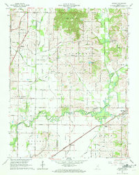
USGS Historical Quadrangle in GeoPDF.
|

|
